
Menu
Popular Walks
-
Mt Ngungun
(1151 ticks) -
Mount Coolum
(869 ticks) -
Mt Cordeaux
(665 ticks) -
Twin Falls Circuit
(635 ticks) -
Purling Brook Falls Circuit
(610 ticks)
Parent Regions
Sub-Regions
- Amamoor State Forest
- Bellthorpe National Park
- Brisbane City Council Local Walks
- Brisbane Forest park D'Aguilar National Park
- Brisbane Valley Rail Trail
- Coombabah Lakelands Conservation Area
- Daisy Hill Conservation Park
- Eumundi Conservation Park
- Glass House Mountains National Park
- Glen Rock Regional Park
- Gold Coast
- Ipswich
- Jimna State Forest
- Karawatha Forest
- Kondalilla National Park
- Lamington National Park
- Main Range National Park
- Mapleton National Park
- Moggill Conservation Park
- Moogerah Peaks National Park
- Moreton Island National Park
- Mt Barney National Park
- North Stradbroke Island - Minjeeribah
- Parklands Conservation Park
- Springbrook National Park
- Sunshine Coast
- Tamborine National Park
- White Rock - Spring Mountain Conservation Estate
Summary
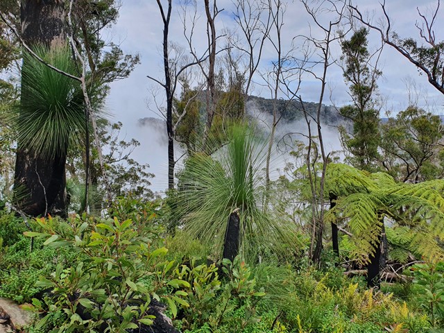
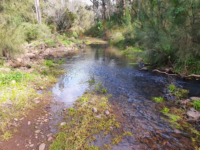
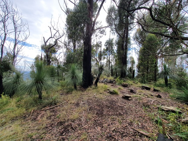
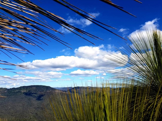
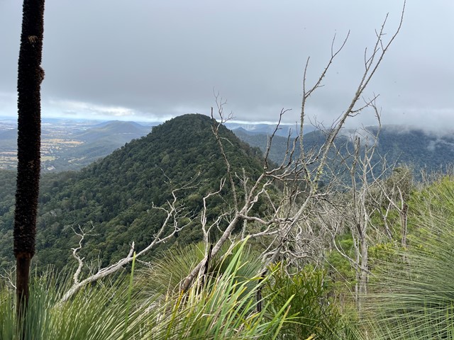
Boarding NSW and the pacific Ocean, it is not uncommon for hikes to have views of both worlds (ocean and hinterland). Hikes here are typically on the great dividing range.
Popular Walks
-
Mt Ngungun
(1151 ticks) -
Mount Coolum
(869 ticks) -
Mt Cordeaux
(665 ticks) -
Twin Falls Circuit
(635 ticks) -
Purling Brook Falls Circuit
(610 ticks)
Parent Regions
Sub-Regions
- Amamoor State Forest
- Bellthorpe National Park
- Brisbane City Council Local Walks
- Brisbane Forest park D'Aguilar National Park
- Brisbane Valley Rail Trail
- Coombabah Lakelands Conservation Area
- Daisy Hill Conservation Park
- Eumundi Conservation Park
- Glass House Mountains National Park
- Glen Rock Regional Park
- Gold Coast
- Ipswich
- Jimna State Forest
- Karawatha Forest
- Kondalilla National Park
- Lamington National Park
- Main Range National Park
- Mapleton National Park
- Moggill Conservation Park
- Moogerah Peaks National Park
- Moreton Island National Park
- Mt Barney National Park
- North Stradbroke Island - Minjeeribah
- Parklands Conservation Park
- Springbrook National Park
- Sunshine Coast
- Tamborine National Park
- White Rock - Spring Mountain Conservation Estate
History
Any interesting history for the region?
Features
What are the standout bushwalking features?
Access
How do you get there? Include all access points if there are many?
Maps
Which maps cover the region?
Accommodation
Where can I stay there? or near there?
Camping
Council Areas:
- Scenic Rim Regional
- Gold Coast City
- Logan City
- Redland City
- Ipswich City
- Lockyer Valley Regional
- Brisbane City
- Somerset Regional
- Moreton Bay Regional
- Sunshine Coast Regional
- Noosa Shire
Contact details
See Qld National parks website
Walks in Main Range National Park

 12
km
return
12
km
return
 7
hrs
7
hrs
Mt Castle
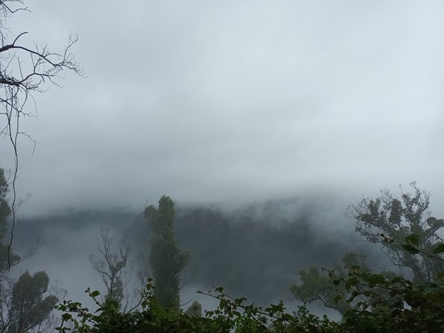
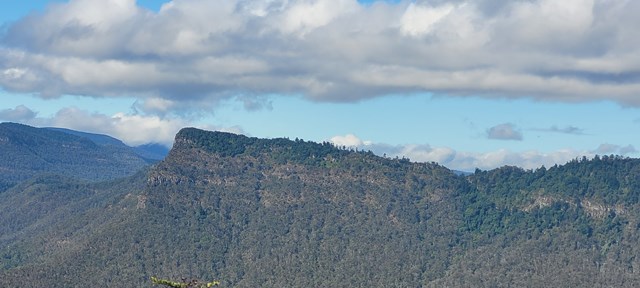
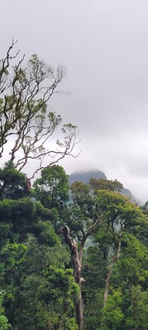
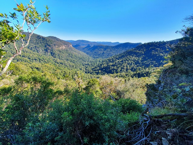
Mt Castle is situated North of the more iconic Mt Cordeaux along the Great Dividing Range. Though you technically lose elevation making your way from the carpark to the summit don't let this fool you, it is a very long and challenging hike. There are sections of scrambling along exposed cliffs, bush bashing and steep inclines in either direction. That being said, the walk has some of the best views of the Great Dividing Range.
 1
km
return
45
mins
1
km
return
45
mins
Mt Castle Lookout
Short track walk to see great view of Mt Castle, Flinders Peak and even Brisbane on a clear day.
 6.8
km
return
2.5
hrs
6.8
km
return
2.5
hrs
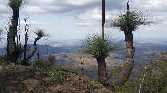
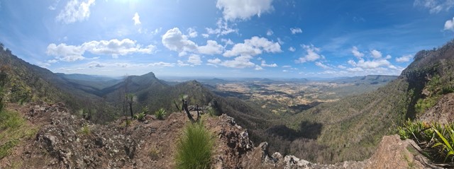
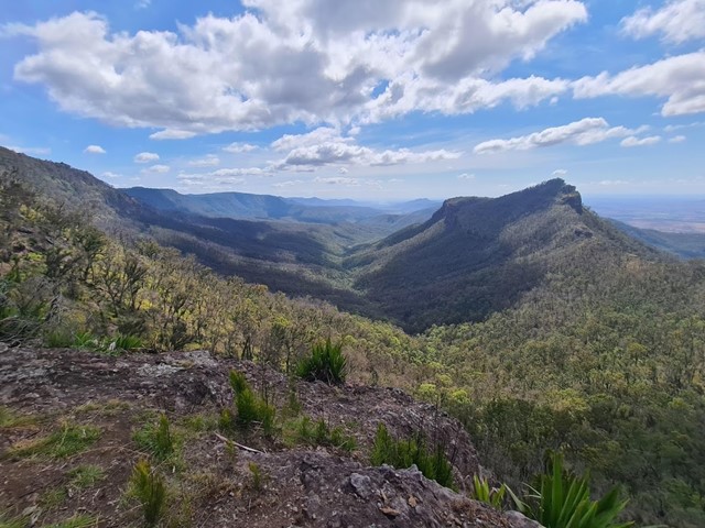
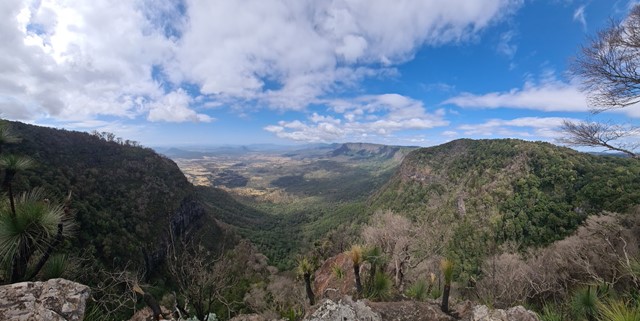
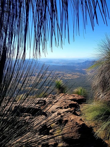
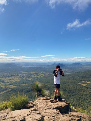
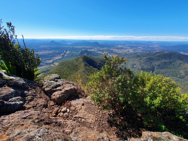
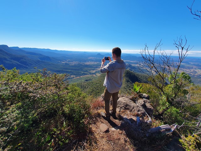
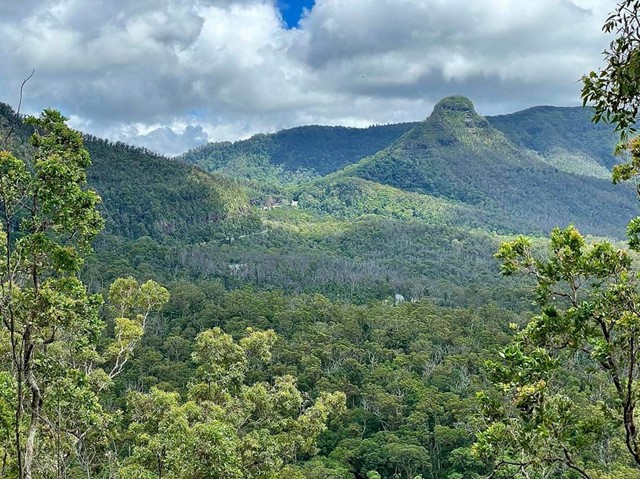
Mt Cordeaux
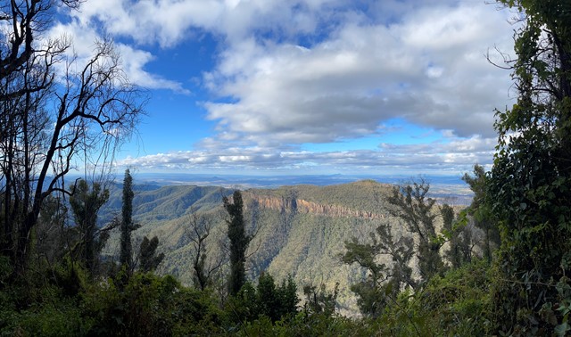
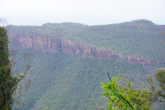
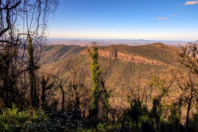
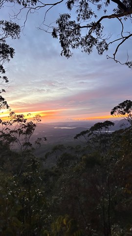
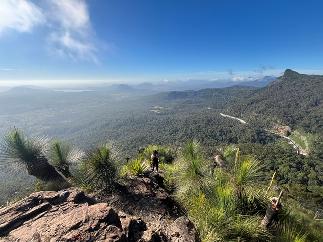
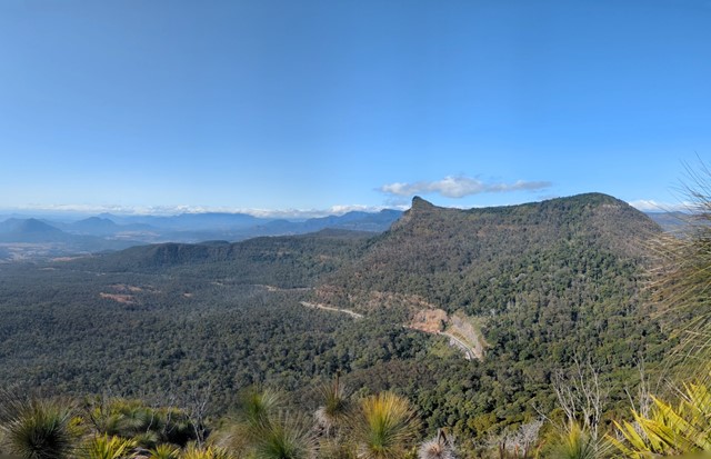
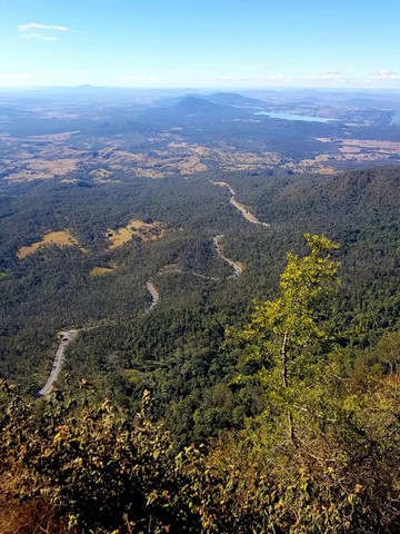
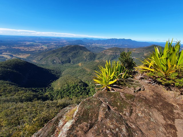
Mt Cordeaux forms the Northern side of Cunningham's Gap. The track ends at a platform just below the main peak and is ideal for viewing South, down the length of Main Range National Park. There are also good views of the Moogerah Peaks, Mt Barney and North to the Mistake Mountains.
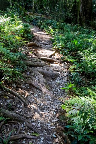
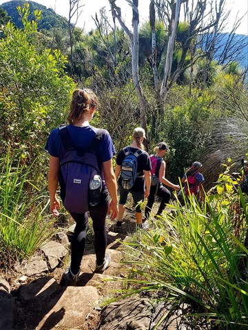
National Parks signage officially lists this walk as Grade 4 difficulty (most of the track is unsealed, with hazards such as tree roots/rocks, muddy sections and occasional tree-falls across the path). Walkers with a moderate level of fitness should find this a comfortable walk and be able to complete it in under the given timeframe.
 6
km
return
3
hrs
6
km
return
3
hrs
Mt Doubletop
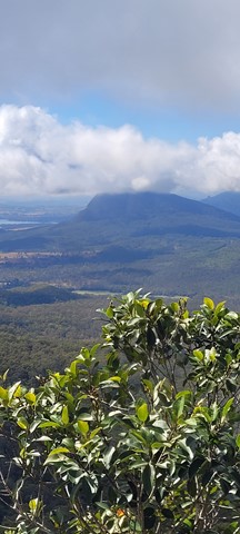
A quick but challenging walk up to one of the lesser known peaks of the Great Dividing Range with excellent views out to Moogerah and Spicers Peak. The peak is very distinctive with it's double summit, can be seen clearly when driving towards Cunninghams Gap from the East, it sits to the left of Spicers Peak.
 12
km
return
6
hrs
12
km
return
6
hrs
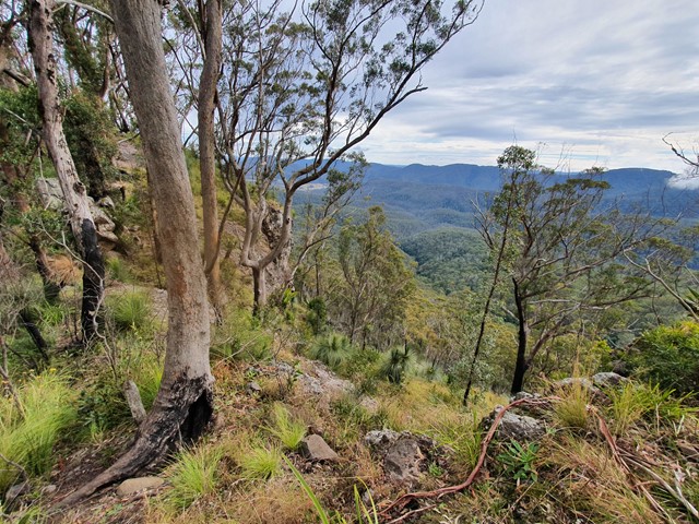
Mt Huntley
A steep walk up one of the lesser climbed peaks on the Great Dividing Range. Though Mt Huntley is usually tackled when doing the Main Range traverse, this route allows you to directly hit the summit in a single day trip.
 15
km
4.5
hrs
15
km
4.5
hrs
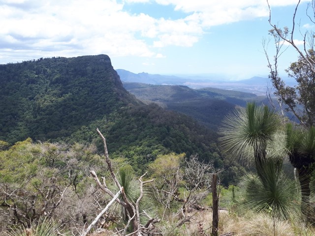
Mt Mitchell
Mt Mitchell, one of two peaks on either side of Cunningham's Gap, is a good track walk which provides great views of Main Range, the Moogerah Peaks and through to Mt Barney. There is a wide variety of biome types along the track, including luxuriant rainforest, eucalyptus forest, and montane heath, as well as impressive natural rock formations, making this an incredibly scenic walk. Now starting at West Gap Picnic area which adds 5km to the trip, making it 5 to 5.5 hours as per the new sign at West Gap
 9.5
km
return
3.5
hrs
9.5
km
return
3.5
hrs
Mt Mitchell via West Peak
A variation on the usual Mt Mitchell walk, for those who want to "bag" another peak
 12.2
km
return
8
hrs
12.2
km
return
8
hrs
Mt Roberts + Lizard Point
A reasonably well marked trail leading up to the summit of Mt Roberts, then proceeding on to one of the best lookout points in SEQ - Lizard Point.
 10.5
km
3
hrs
10.5
km
3
hrs
Mt. Mathieson Circuit
This track was built by volunteers in 1986 from the National Parks Assoc of Qld. The mountain is named after the chief commissioner of railways from 1880s to 1912
 7
km
return
3
hrs
7
km
return
3
hrs
North Branch Track
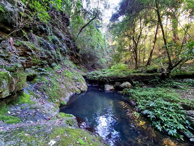
Commencing opposite the Kurrajong picnic area, this trail follows the north branch of Dalrymple Creek, before ending just inside the rainforest edge.