
Menu
Popular Walks
-
Mt Ngungun
(1151 ticks) -
Mount Coolum
(869 ticks) -
Mt Cordeaux
(665 ticks) -
Twin Falls Circuit
(635 ticks) -
Purling Brook Falls Circuit
(610 ticks)
Summary
The Sunshine State
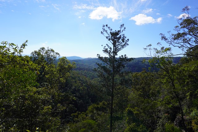
Queensland has a wealth of bushwalking opportunities including multiple World Heritage Listed rainforests such as the Daintree and Lamington National Park, great coastal and island parks like Fraser Island and Hinchinbrook Island.
Popular Walks
-
Mt Ngungun
(1151 ticks) -
Mount Coolum
(869 ticks) -
Mt Cordeaux
(665 ticks) -
Twin Falls Circuit
(635 ticks) -
Purling Brook Falls Circuit
(610 ticks)
Sub-Regions
Other Information
World Heritage Areas
- Fraser Island
- Gondwana Rainforests of Australia (Lamington NP, Springbrook NP, Mount Chinghee NP, Mount Barney NP, Main Range NP)
- Great Barrier Reef
- Riversleigh
- Wet Tropics (Daintree NP, Barron Gorge NP, Cedar Bay NP, Girringun NP, Wooroonooran NP)
Contact details
Queensland Parks and Forest:
https://parks.des.qld.gov.au/
Regions
The link below provides a region map of QLD as a reference to what council zones are included in the 7 geographic regions of QLD.
https://en.wikipedia.org/wiki/Regions_of_Queensland#/media/File:Qld-regions-map.gif
- Far North Queensland
- North Queesnland
- Central Queensland
- Mackay, Isaac and Whitsunday
- Wide Bay Burnett
- Darling Downs South West
- South East Queensland
Walks in Queensland

 5
km
return
5
km
return
 90
mins
90
mins
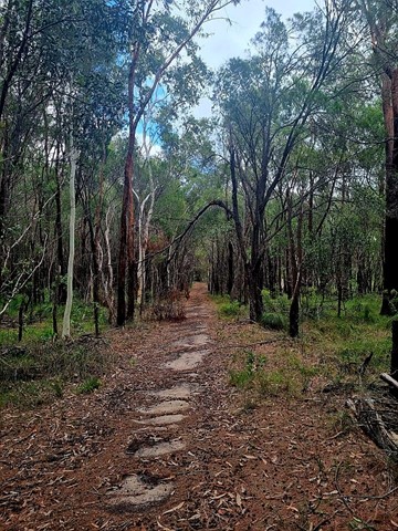
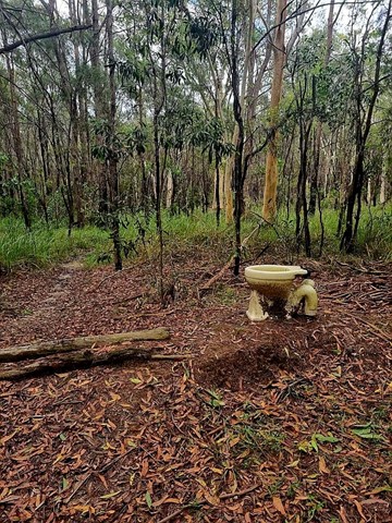
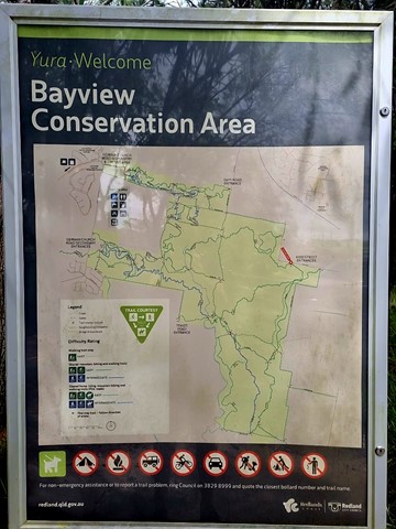
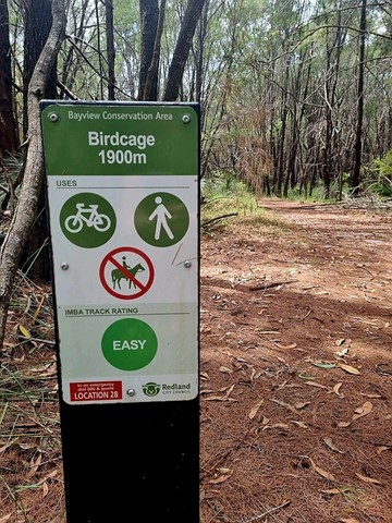
Bayview Conservation Area (Kidd Street Entrance)
Multiple trails that crisscross the area. Includes the Birdcage Trail, an easy 1900m walk that is one of the many trails through the Bayview Conservation Area. Glimpses of the ever-growing suburbia nearby, the track winds through natural bushland with many native grass trees. Passes the "birdcage" itself, a quirky work of imagination.
As of July, 2025, the area was heavily battered by "Alfred" and next to it commenced a huge housing development. Likely, there will be another trailhead/ access in years to come.
 1
km
return
30
mins
1
km
return
30
mins
Cunnamulla Bushlands
1klm gravel path walking track showcasing Mulga Lands, Sandhills, Gidgee Stands, Mitchell Grass Plains, Brigalow Country and Wetlands.
 14.5
km
return
6
hrs
14.5
km
return
6
hrs
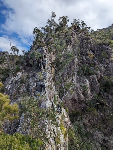
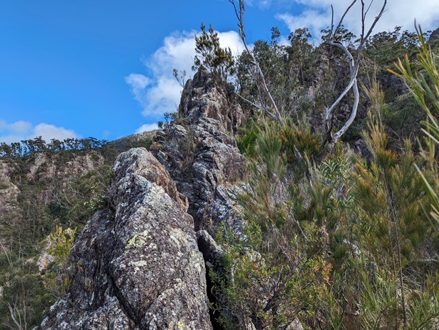
Mt Barney - Up Mezzanine - Down SE Ridge
Climb Mt Barney via Mezzanine Ridge and descend via South East Ridge.
It's a challenging climb with exposed cliff edges and climbing involved.
 8
km
return
3
hrs
8
km
return
3
hrs
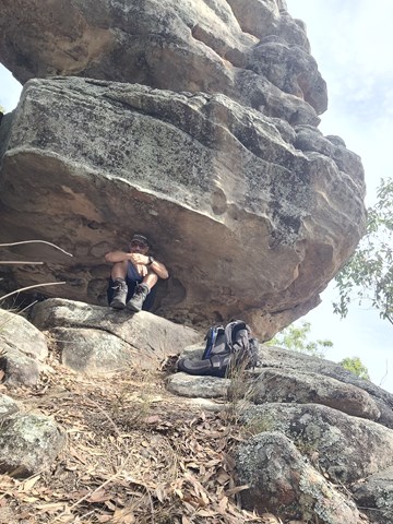
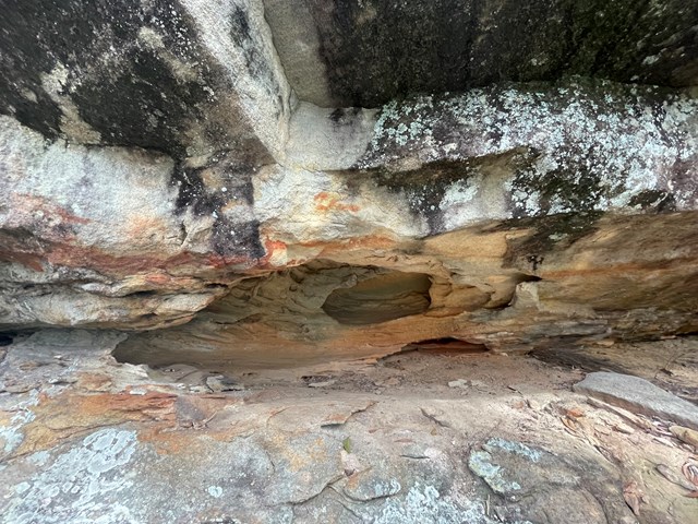
Spring Mountain via Dragon Spine (Ben Nevis Park trailhead)
From the Ben Nevis Park head through gate and up to top of first small hill then turn right onto the yaddadum trail for a few hundred metres before taking faint single track on the left marked by an ant mound. Follow trail up the ridge past balancing rock and eventually come to a steep rocky section with small scramble . From here it’s a few hundred meters to the fire rd at the base of Spring mtn. Turn left here then after a few hundred metres you Will come to a worn single track that leads to the spring mtn Sumit. Great views from the top and check out the small cave on way up. Around 8km return
 21
km
2
days
21
km
2
days
Aquila Loop
Remote bush camping in the remote middle section of the park, alongside picturesque England Creek at the England Creek bush camp. There are several waterholes along England Creek Road, 10 minutes south of the campsite. Look out for native daisies along the road edge flowering spring to summer. Pink rock orchids and tongue orchids can be seen growing on rock cuttings on Joyners Ridge Road in spring.
This trail can also be done as a day hike (6-10 hours).
 800
m
1
hr
800
m
1
hr
Atrax Circuit
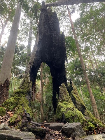
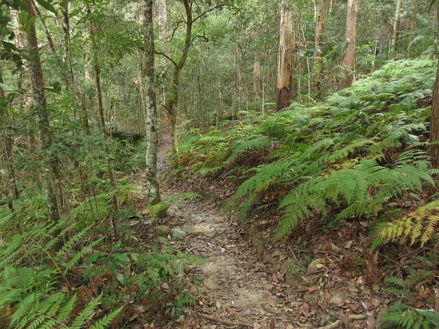
Take a short walk through a wet eucalypt forest. Look closely at the forest floor and notice the ferns, mosses and fungi that thrive in the moist environment. Glimpse inside the trunk of a brush box Lophostemon confertus, a former giant of this species-rich ecosystem.
 1
km
one-way
15
mins
1
km
one-way
15
mins
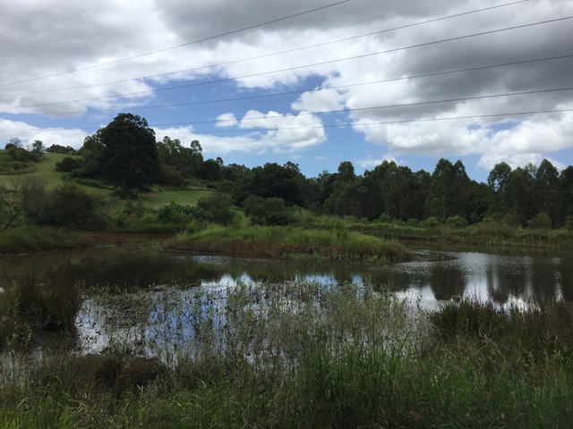
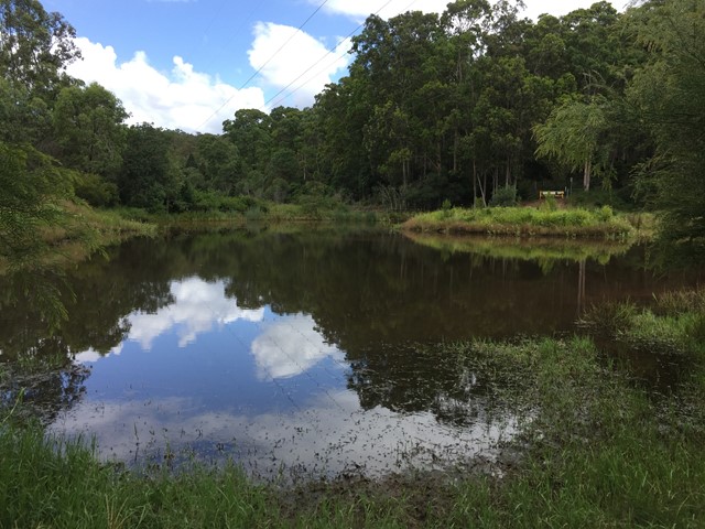
Bellbird Grove Access Trail
Trail leads from Ross Road, Upper Kedron into D'Aguilar National Park's Bellbird Grove Picnic Area following Cedar Creek and passing a pond.
Blue Gum Flat bush camp
As the name suggests, magnificent blue gums tower over this bush camp, a short walk from the scenic shores of Lake Manchester.
5.7
km
one-way
80
mins
Bullocky’s Dam to Scrub Road Bush Camp
The long way to Scrub Road Remote Bush Camp. Follows South Boundary Road the whole way. Some ups but overall mostly downhill but not too hectic.
1.1
km
return
30
mins
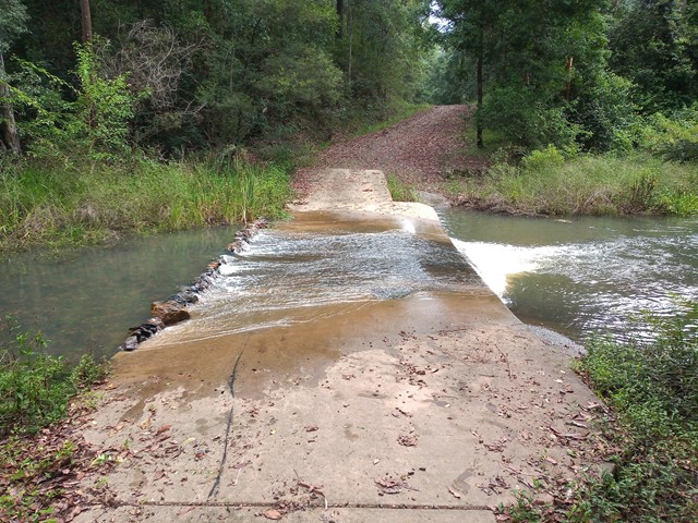
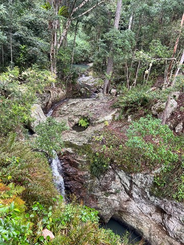
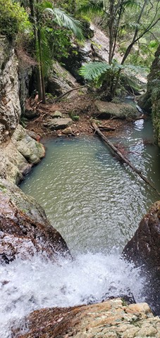
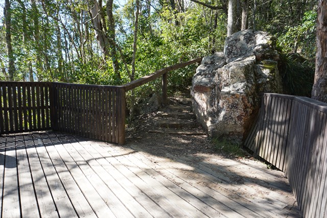
Bulls Falls
Part of the Mt Mee section of the park this is an easy walk which from the viewing platform includes the beauty of the Neurum Valley with its sheltered rainforest pools and rocky crags. The pathway then continues on down to the falls themselves.