
Menu
Popular Walks
-
Walsh's Pyramid
(66 ticks) -
Barron Falls Lookout
(59 ticks) -
Mount Bartle Frere - Eastern Approach
(49 ticks) -
Josephine Falls
(45 ticks) -
Rainforest Circuit
(36 ticks)
Summary
The Northern Most point in QLD.
Popular Walks
-
Walsh's Pyramid
(66 ticks) -
Barron Falls Lookout
(59 ticks) -
Mount Bartle Frere - Eastern Approach
(49 ticks) -
Josephine Falls
(45 ticks) -
Rainforest Circuit
(36 ticks)
Parent Regions
Sub-Regions
History
Any interesting history for the region?
Features
What are the standout bushwalking features?
Access
How do you get there? Include all access points if there are many?
Maps
Which maps cover the region?
Accommodation
Where can I stay there? or near there?
Camping
Council Areas:
- Burke Shire
- Doomadgee Aboriginal Shire
- Capentaria Shire
- Croydon Shire
- Mareeba Shire
- Etheridge Shire
- Tablelands Reginoal
- Cassowary Coast Regional
- Cairns Regional
- Douglas Shire
- Cook Shire
- Aurukun Shire
- Torres Shire
- Lockhart Reiver Aboriginal Shire
Contact details
Contact details for National Park offices or similar...
Walks in Far North Queensland

 1.2
km
return
1.2
km
return
 45
mins
45
mins
Davies Creek Falls Circuit
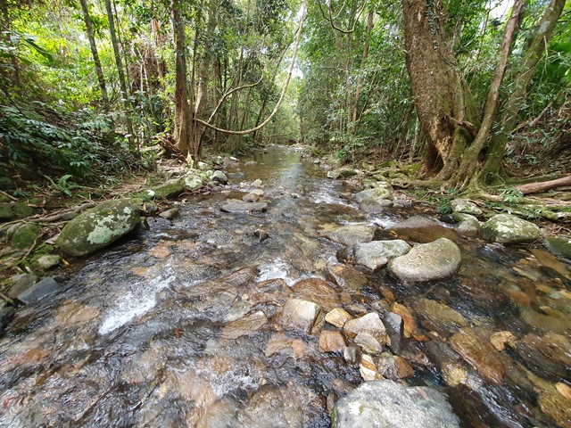
Close to Cairns and Mareeba, Davies Creek National Park is a favourite spot for locals. It offers a spacious picnic area and camping facilities, spread out amidst the rocky platforms and shady trees by the creek. Visitors can negotiate the rocks and swim in the pools in this area at their leisure. Davies Creek Falls is a magnificent waterfall which cascades over huge granite boulders
 3.9
km
return
3.9
km
return
Bicton Hill Circuit
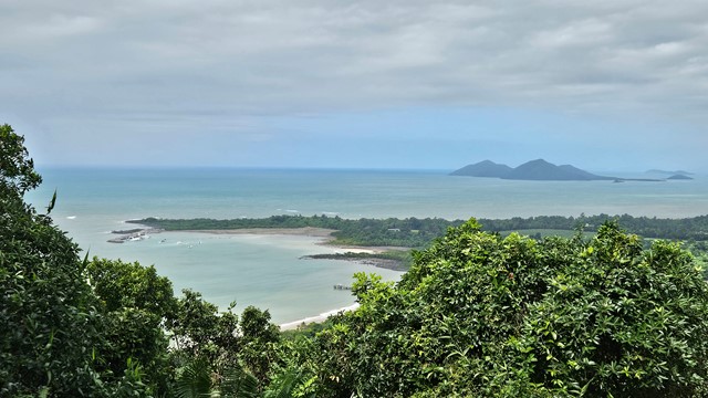
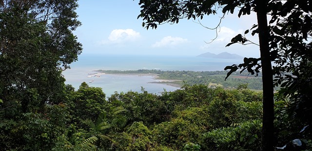
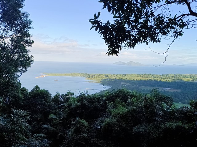
A rainforest circuit leading to the summit of Bicton Hill in Clump Mountain National Park near Mission Beach, North Queensland. A series of lookout points along the circuit provide views of Bingil Bay, Mission Beach and surrounds, and the Family Islands.
 2.4
km
return
1
hr
2.4
km
return
1
hr
Crystal Cascades
Crystal cascades is popular freshwater swimming hole surrounded by a tropical rainforest, it has a series of small waterfalls that flow into large pools, This short easy walk takes you to popular swimming holes and with a waterfall at the last swimming hole
 500
m
36
mins
500
m
36
mins
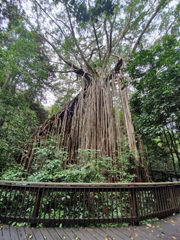
Curtain Fig NP
A well built boardwalk surrounds the most astounding sight - a massive curtain of aerial roots created over 3 toppled trees by a single strangler fig. The fig is thought to be over 500 years old.
 10.6
km
return
8
hrs
10.6
km
return
8
hrs
Devils Thumb
A long, steep and tiring ascent up and over a mountain to get to the enormous granite rock feature that overlooks Port Douglas and beyond. Quite possibly the best lookout in North Queensland!!
 4
km
return
90
mins
4
km
return
90
mins
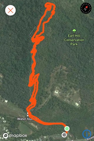
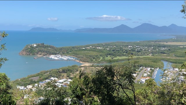
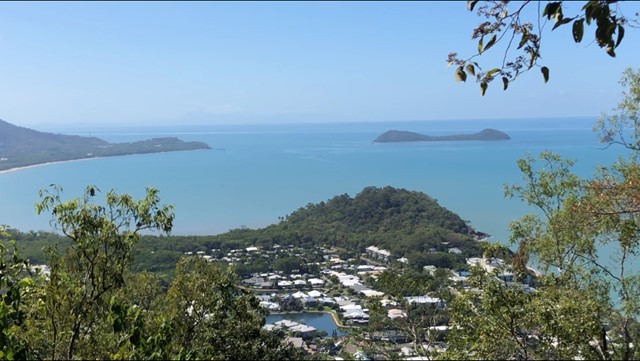
Earl Hill Summit Track
Earl Hill is a 2.9 kilometre moderately trafficked out and back trail located at Trinity Beach north of Cairns, Queensland, Australia that features a great forest setting and is good for all skill levels. The trail is primarily used for hiking, walking, and nature trips and is accessible year-round.
 400
m
return
15
mins
400
m
return
15
mins
Ellinjaa Falls
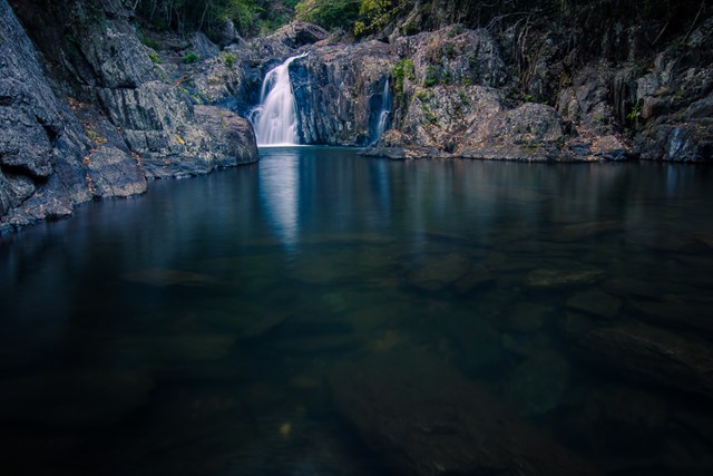
Ellinjaa Falls are picturesque falls that are part of the Waterfalls Circuit along with Millaa Millaa and Zillie Falls. Enjoy the sound of the water rushing over a series of lava columns and watch for turtles and platypus. The falls are a great spot for swimming with a little ledge hidden behind the falls that you can sit on and take in the rainforest scenery.
 2
km
return
1
hr
2
km
return
1
hr
Emerald Creek Falls walking track
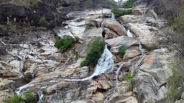
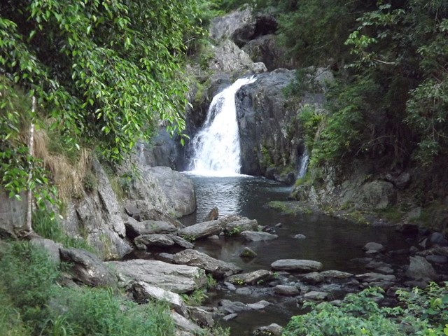
Emerald Creek rushes out of the rainforests of the Lamb Range. The waters of the creek tumble over granite boulders, forming the picturesque falls that plunge into placid pools.
800
m
return
1
hr
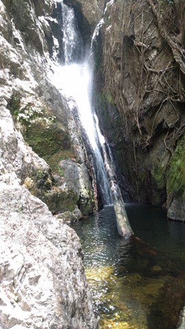
Fairy Falls - Cairns
An isolated bushwalk through the rainforest, ending in a waterfall and small swimming hole.