
Emerald Creek Falls walking track
Far North Queensland


Menu
Emerald Creek rushes out of the rainforests of the Lamb Range. The waters of the creek tumble over granite boulders, forming the picturesque falls that plunge into placid pools.

Getting there
From Cairns, take the Kennedy Highway towards Mareeba. 3 km before Mareeba turn left onto the signposted Tinaroo Creek Road. Follow Tinaroo Creek Road for about 3 km and then turn left into Cobra Road. After 2 km of bitumen the road is unsealed for the final 6 km. This road is steep in places and can be boggy when wet. It is unsuitable for caravans and trailers.
Maps
https://parks.des.qld.gov.au/parks/tablelands/pdf/tablelands-north-map.pdf
Route/Trail notes
A walking track takes you alongside the creek to the numerous falls and lagoons, up to the lookout with views of the valley towards Mareeba. It is steep in sections of the track to the upper falls lookout however some rock hopping and scrambling is requited to access the bottonm of the falls
Permits/Costs
Free - No camping allowed
Other References
How can I find more info? Any guide books?
GPS Tracks
- No GPS available for this walk yet.
 2
2 1
1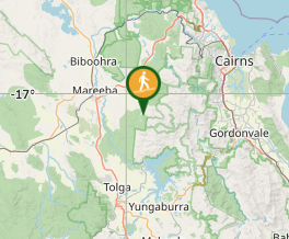
Comments