
Menu
Popular Walks
-
Barron Falls Lookout
(59 ticks) -
Glacier Rock via Douglas Track
(34 ticks) -
Stony Creek Weir track
(15 ticks) -
Wrights Lookout
(11 ticks) -
McDonalds Track
(6 ticks)
Parent Regions
Summary
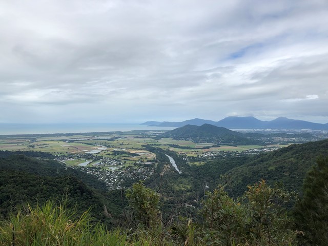
Rugged mountains, ravines, tumbling waterfalls, magnificent rainforest, rich and varied wildlife, easy access and a fascinating history make this one of Queensland’s most popular national parks. Nestled betwen Cairns and Kuranda
Popular Walks
-
Barron Falls Lookout
(59 ticks) -
Glacier Rock via Douglas Track
(34 ticks) -
Stony Creek Weir track
(15 ticks) -
Wrights Lookout
(11 ticks) -
McDonalds Track
(6 ticks)
Parent Regions
History
Any interesting history for the region?
Features
What are the standout bushwalking features?
Access
How do you get there? Include all access points if there are many?
Maps
Which maps cover the region?
Accommodation
Only a 20min drive from Cairns.
Camping
See QLD GOV website below:
Other
Contact details
Queensland Government Parks and Forest:
https://parks.des.qld.gov.au/parks/barron-gorge/about.html
Walks in Barron Gorge National Park

 1.2
km
return
1.2
km
return
 45
mins
45
mins
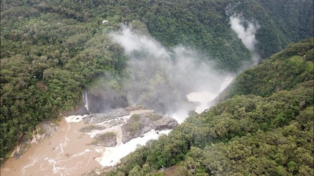
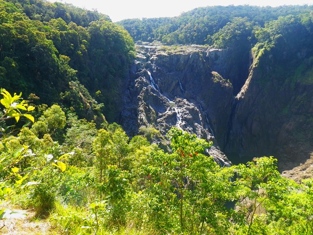
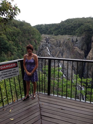
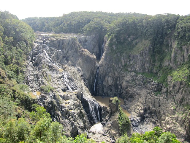
Barron Falls Lookout
A lovely little board walk with many information signs to a spectacular waterfall (especially in the wet season).
 3.6
km
one-way
2
hrs
3.6
km
one-way
2
hrs
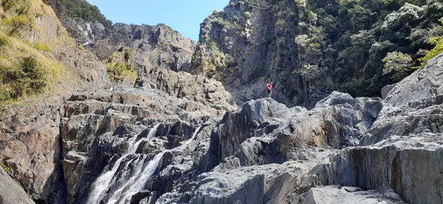
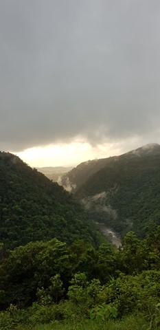
Barron Gorge Waterfalls
DRY SEASON ONLY
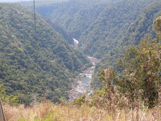
The walk starts at Barron hydro-electrical station and finishes on top of Barron Falls. It goes over all the waterfalls. Suited for Alpinist and Mountaineers with previous experience only.
 7.1
km
5
hrs
7.1
km
5
hrs
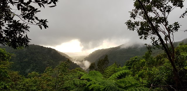
Glacier Rock via Douglas Track
A walk through rainforest to an ancient glacier rock with amazing views for a good chunk of it.
 9.4
km
return
4
hrs
9.4
km
return
4
hrs
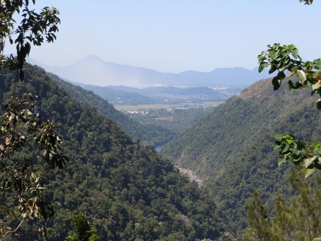
McDonalds Track
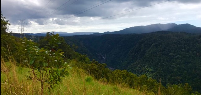
This historic track links Wright's Lookout to the Douglas Track, taking you from Kuranda down the Barron River Gorge. It provides views of the gorge from the southern side, seldom seen by the visitor unless they take the train down.
 3
km
return
1
hr
3
km
return
1
hr
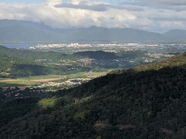
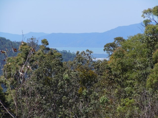
Wrights Lookout
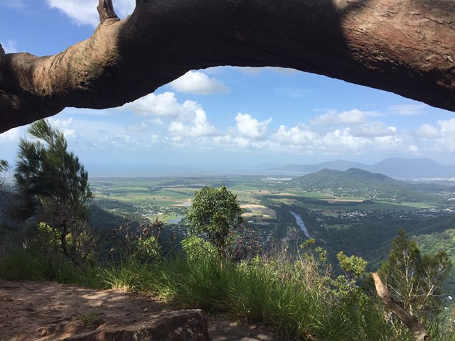
A beautiful lookout over the Barron Gorge national park down to the Cairns' bay.