
Menu
Popular Walks
-
The Pyramid
(308 ticks) -
Table Top Loop
(220 ticks) -
Castle Rock
(182 ticks) -
Granite Arch
(176 ticks) -
The Sphinx and Turtle Rock
(126 ticks)
Summary
Boarding NSW and SA, this region is known for its ...
Popular Walks
-
The Pyramid
(308 ticks) -
Table Top Loop
(220 ticks) -
Castle Rock
(182 ticks) -
Granite Arch
(176 ticks) -
The Sphinx and Turtle Rock
(126 ticks)
Parent Regions
Sub-Regions
History
Any interesting history for the region?
Features
What are the standout bushwalking features?
Access
How do you get there? Include all access points if there are many?
Maps
Which maps cover the region?
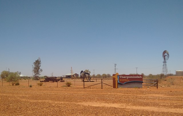
Council Areas:
- Bulloo Shire
- Quilpie Shire
- Paroo Shire
- Murweh Shire
- Balonne Shire
- Maranoa Regional
- Goondiwindi Gegional
- Western Downs Regional
- Toowoomba Regional
- Souther Downs Regional
Contact details
See QLD National Parks
Walks in Darling Downs South West

 4.2
km
return
4.2
km
return
 90
mins
90
mins
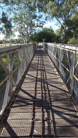
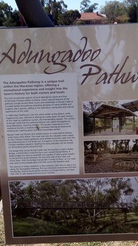
Adungadoo Pathway
Follow the peaceful waters of Bungil Creek. Ancient River Red Gums are a beautiful feature of this walk, while the watercourse is a must for bird watchers. Take a small detour on route to see the largest Queensland Bottle Tree.
 1
km
return
30
mins
1
km
return
30
mins
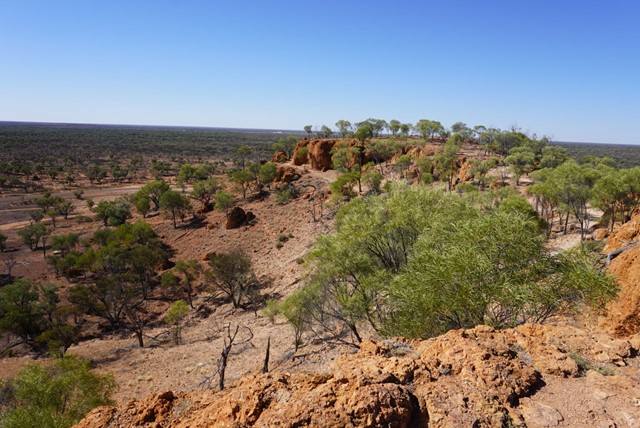
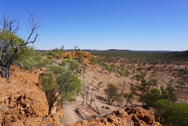
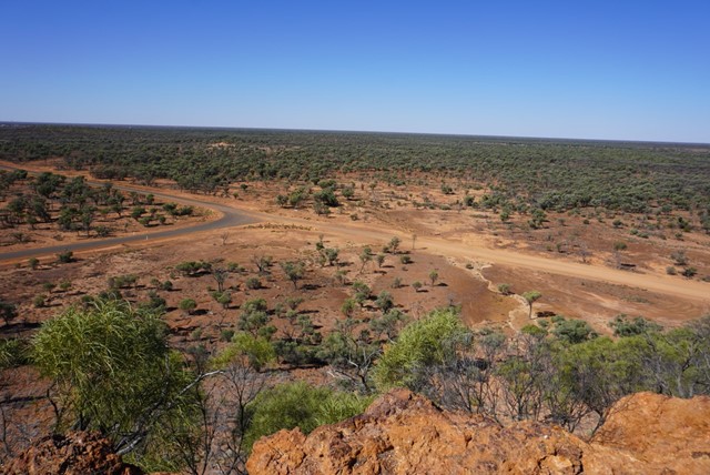
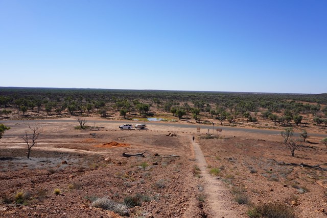
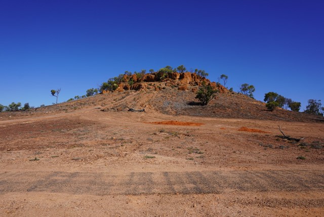
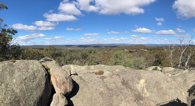
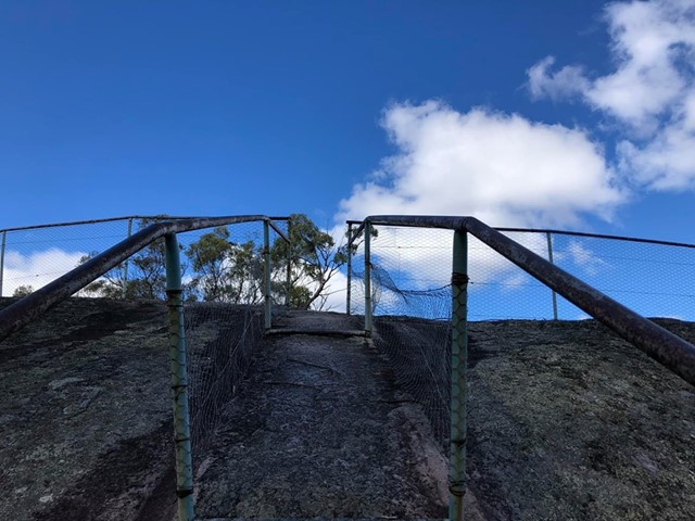
Baldy Top Quilpie
Located 7.4 kilometres from Quilpie on the Toompine Road rests a red rocky formation, aptly named Baldy Top Lookout. Part of the Grey Range, Baldy Top is one of the most elevated points in South West Queensland.
Explore caves and crevices, untouched by civilisation whilst traversing this magnificent boulder formation which was created naturally over millions of years.
A climb to the summit of Baldy Top is a relatively easy ten minute scramble. Although Baldy Top appears quite small in its surroundings, once atop this hill, one is amazed by the breathtaking panoramic landscapes that stretch as far as your imagination.
As ancient as time itself, Baldy Top offers visitors stunning sunsets whilst experiencing the serenity and solitude of the Outback.
 9.2
km
return
3
hrs
9.2
km
return
3
hrs
Bindegolly National Park
This is only a good walk when there's actually water in the Lake. The lake does dry up making for a sandy experience. When full with water it should be an amazing experience as it attracts various wildlife. Ideal for birdwatching with a bird viewing site 4.5 km from car park
 5.7
km
return
105
mins
5.7
km
return
105
mins
Broadwater Loop
An interesting walk with multiple challenging creek crossings through Broadwater State Forest. Includes plenty of bird life and the odd wallaby peeping out from behind the trees.
 2
km
return
40
mins
2
km
return
40
mins
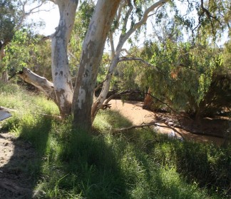
Bulloo River Quilpie
Easy stroll along the Bulloo river just before entering Quilpie.Great for birdwatchers and even fishing ( when river flowing).
 3
km
return
45
mins
3
km
return
45
mins
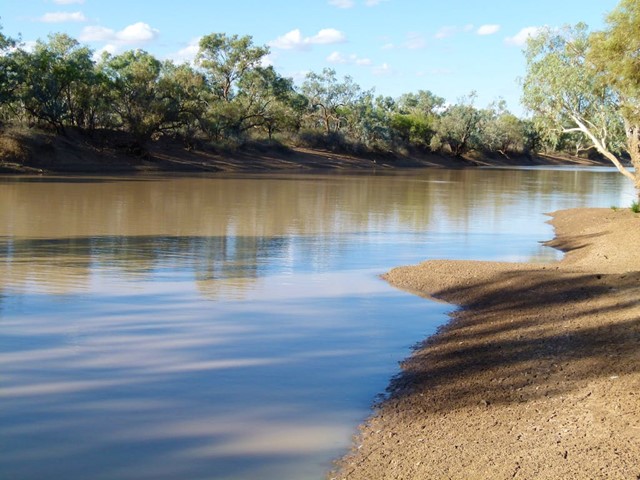
Bulloo River Walk
In Dowling Street head to caravan park and follow track to the river. This is a nice walk along the river ( where some of the locals may swim ) that ends back to the other side of Downling Street past the old Cobb & Co Crossing.
 4.42
km
one-way
90
mins
4.42
km
one-way
90
mins
Cooby Dam Lakeside Walk
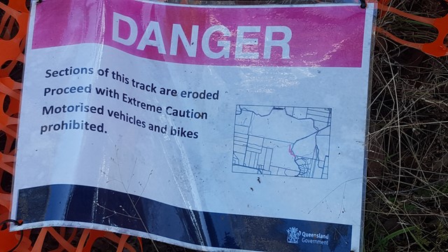
A scenic lakeside trail at Cooby Dam, stretching from the picnic area at Loveday Cove to the dam wall. Some sections have a formed track, while other grassy sections may be overgrown or boggy. A great spot for photographing water birds, with good picnic facilities and a large playground.
Officially listed as Grade 3/Medium (some unformed paths + steep/slippery sections), this track is suitable for walkers of most fitness levels.
800
m
return
45
mins
Donnelly’s Castle
A nice little walk around the rock formation features of Donnelly’s Castle Lions Park with the lookout above and the caves below.
 2
km
return
3
hrs
2
km
return
3
hrs
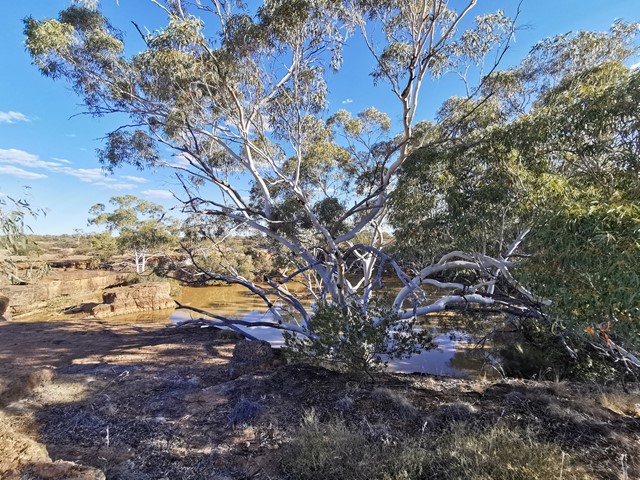
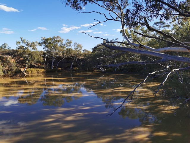
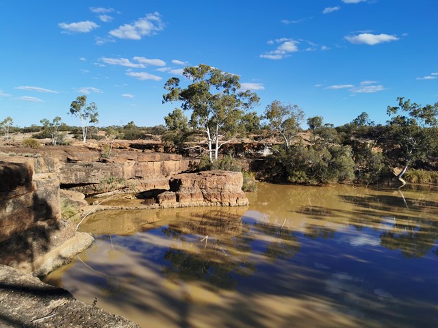
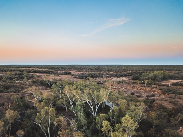
Hell Hole Gorge
Hell Hole Gorge National Park is a wonderful spot about an hour drive from the small township of Adavale. Adavale has a pub/general store, but no fuel. During the hotter times of year it is recommended that you stop into the store or police station in Adavale before heading to Hell Hole Gorge, and let them know of your plans. I strongly recommend a 4WD, there are creek crossings that can be subject to washouts. Once on Hell Hole Gorge National Park there are 2 good swimming holes, Hell Hole Gorge and Spencer's Gorge. Both are lovely, but I personally prefer Spencer's Gorge. The walks up the creeks and from both points are incredible, but there are no marked walking tracks. The park is one of the few places the lucky bush-walker might see the elusive Yellow-footed Rock-wallaby. Though don't worry if you don't, there is a captive population at the National Parks Office in Charleville. The best time of year to be at the park would be late Autumn to early Spring. After rains both locations have lovely cascades and waterfalls. The majority of the park is inaccessible to the public, walking from both gorges is a worthwhile experience.
 4
km
return
1
hr
4
km
return
1
hr
Hydro Walk
The Hydro walk begins in town, before veering off to the left where it proceeds to follow a route parallel to the road leading out of town; past the new Town Bore, crossing the road leading into the Aerodrome and finishing at the Hydro Power Plant Display. This is rather an interesting place to view.
Many trees, shrubs and plants along the walk have identification plaques.