
Mt Roberts + Lizard Point
Main Range National Park


Menu
GPS Tracks
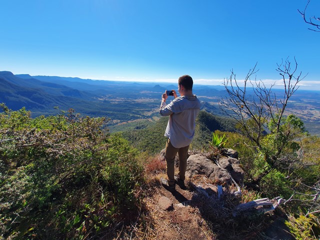
A reasonably well marked trail leading up to the summit of Mt Roberts, then proceeding on to one of the best lookout points in SEQ - Lizard Point.

Getting there
Driving on The Head Rd you will approach the top of the range, look to the right and you will see a small grass driveway named Brett Rd. There is enough room for 4 or 5 cars to park.
Route/Trail notes
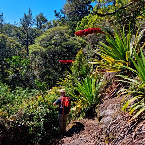
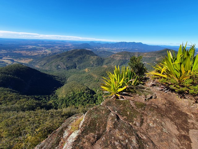
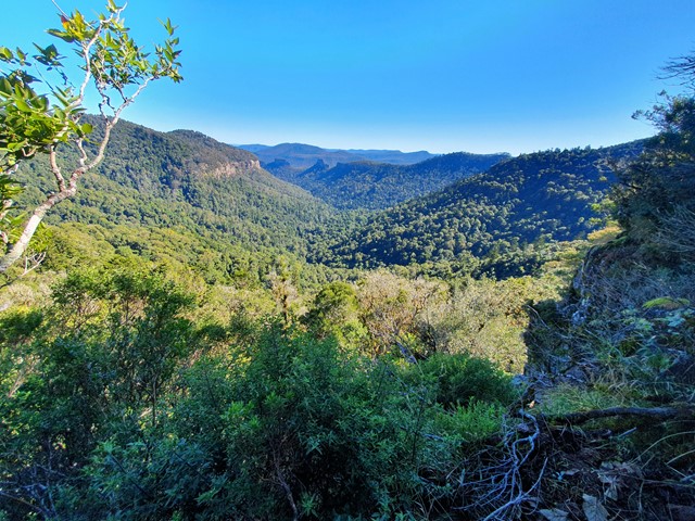
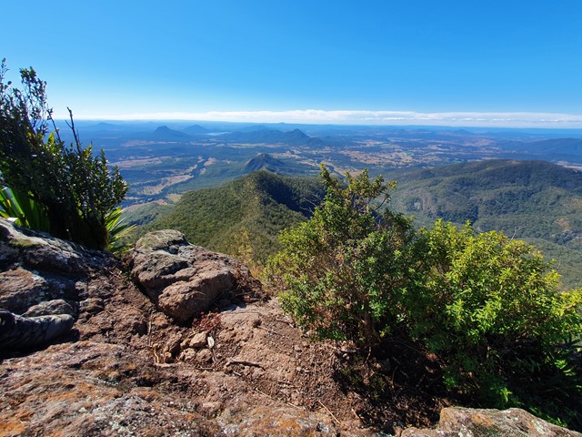
Walk down the driveway and look out for a path cut into the bushes that will appear on your right (just as you approach the second gate). Follow down the rough trail over a small timber bridge. Eventually you will get to a section where the path will branch (one going left, one going straight ahead). The most well travelled path is the one on the left that will steeply ascend to a junction just below Mt Superbus. From here you will descend into a saddle then begin a moderate climb up to the summit of Mt Roberts (marked with a pile of rocks you can't miss). Continue along the path to get to Lizard Point (take care there is some minor scrambling which can be challenging in the wet, however nothing majorly difficult). Return the way you came or camp at the Lizard Point Campsite and check out the sunrise the next morning. This walk could be combined into a multi-day hike exploring Superbus and the Steamers.
Permits/Costs
Nil, campsite costs may apply if camping.
Other References
https://www.alltrails.com/trail/australia/queensland/lizard-point-via-mount-roberts
 Mt Roberts (GPX)
 12.2
12.2 8
8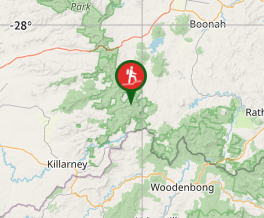
Comments