
Menu
Popular Walks
-
Mt Cordeaux
(667 ticks) -
Mt Mitchell
(565 ticks) -
Bare Rock track and Morgan's Walk
(329 ticks) -
Queen Mary Falls Circuit
(168 ticks) -
Mt. Mathieson Circuit
(114 ticks)
Parent Regions
Summary
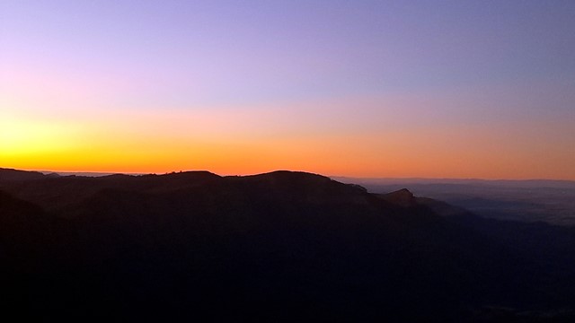
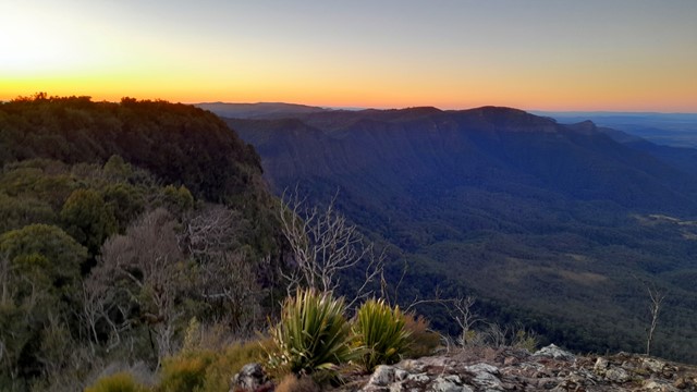
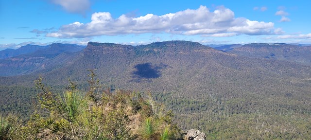
Main Range National Park straddles the Great Dividing Range West of Brisbane. The park includes some of the most popular mountain walks in South-East Queensland including the highest mountain in the region, Mt Superbus.
Popular Walks
-
Mt Cordeaux
(667 ticks) -
Mt Mitchell
(565 ticks) -
Bare Rock track and Morgan's Walk
(329 ticks) -
Queen Mary Falls Circuit
(168 ticks) -
Mt. Mathieson Circuit
(114 ticks)
Parent Regions
History
Any interesting history for the region?
Features
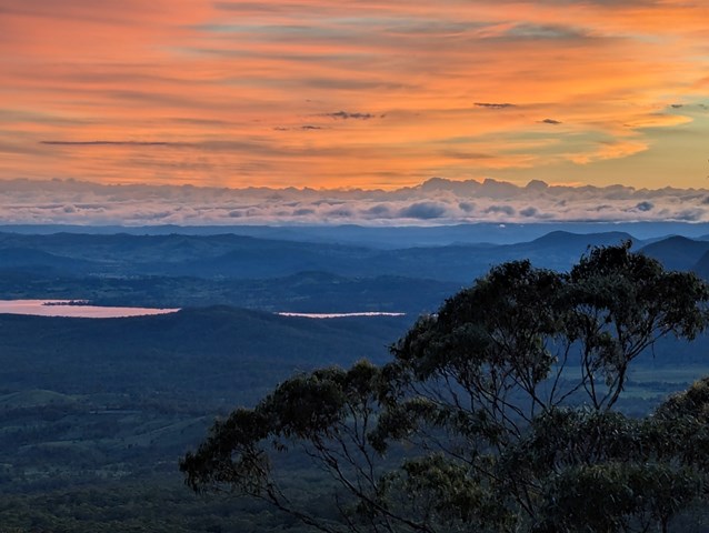
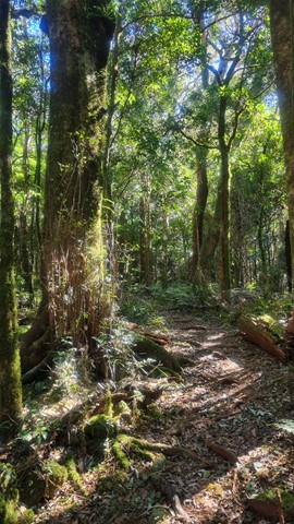
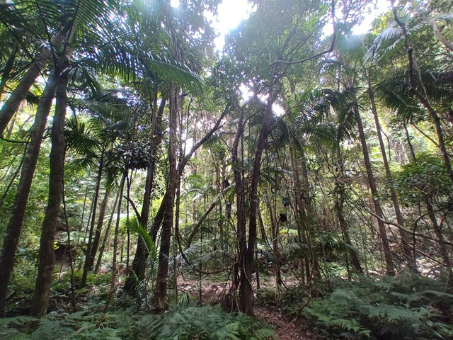
Lookouts and rugged landscapes are the highlight of Main Range. Walks range from well marked tracks like Mt Cordeaux and Mt Mitchell to multi-day off track treks down the range.
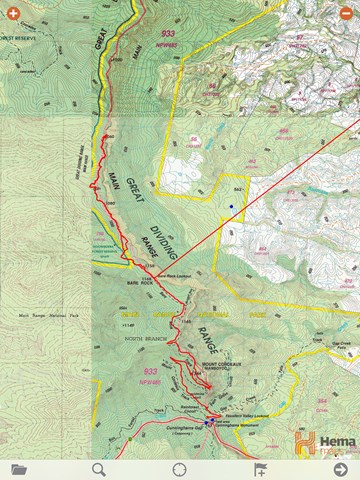
Maps
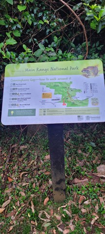
The large area which Main Range covers means quite a few maps are required to cover the whole area, but most walks will only use 1 or 2 of these. Sunmap 1:25000 sheets which cover the area include Cunninghams Gap, Mt Superbus, Wilsons Peak, Teviot, Mt Clunie, Mt Alford, Glen Rock, Townson, Thornton, Rosevale and Junction View
A 1:50000 sheet - Cunninghams Gap - is also available for the main area with adjoining maps of some use. Forestry maps may also be available.
Accommodation
Where can I stay there? or near there?
Camping
Other
Contact details
QPWS - http://www.epa.qld.gov.au/projects/park/index.cgi?noback=1&parkid=94
Walks in Main Range National Park

 1
km
return
1
km
return
 30
mins
30
mins
Adjinbilly Cascades: Private Property
Adjinbilly Cascades are reached by a short 2 minute walk from the Ruby campfire area while staying at Adjinbilly Retreat. It is a beautiful place, deserving to be called the ‘heart’ of Adjinbilly. It is a ‘must’ to visit early in your stay, with the small cascading waterfalls and enveloping rainforest creating a unique, secluded setting. You can walk up to the falls (beware of slippery rocks), get wet or sit and enjoy the special feeling of just being there.
There is a table and chairs where you can share a meal (perhaps a candlelight dinner for a special occasion).
 2.5
km
return
1
hr
2.5
km
return
1
hr
Adjinbilly Circuit Track: Private property
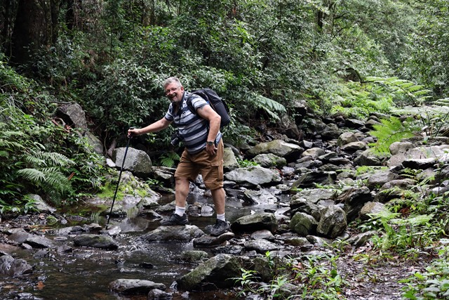
This is an ungraded track mostly following old logging tracks along the creek. This beautiful walk has a myriad of highlights, from the many cascades and the beautiful views of the creek to the amazing strangler figs and the magnificent epiphytes high in the trees. It is accessed for guests staying at Adjinbilly Retreat
It is a walk with plenty of ‘ups and downs’, and you might get your feet wet as you cross the creek. There are seats at selected beauty spots – wonderful places where you can reflect and soak up the ambience or take special photographs.
3.8
km
return
105
mins
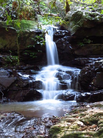
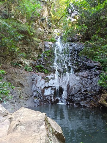
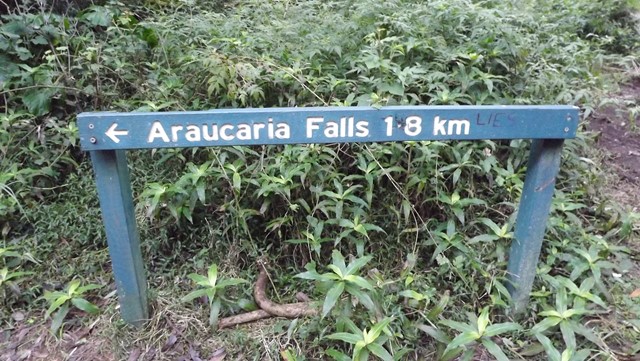
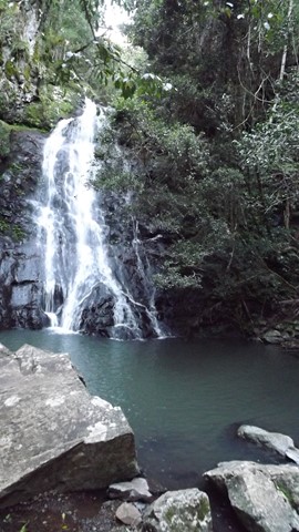
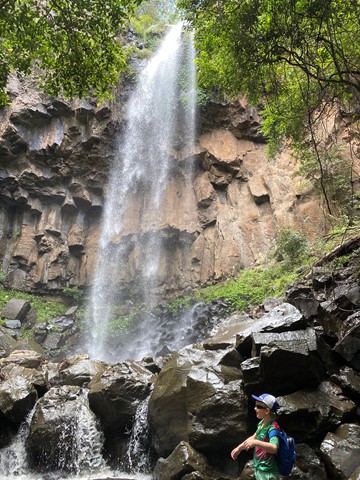
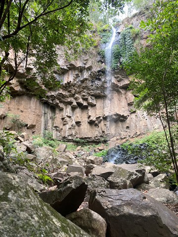
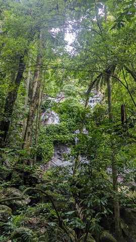
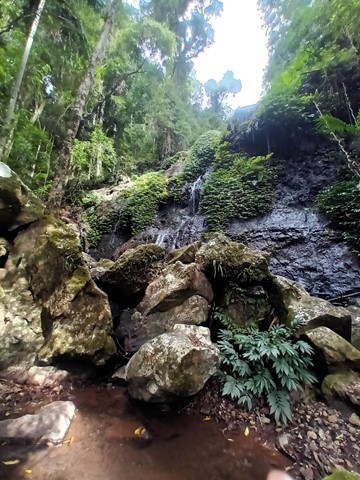
Araucaria Falls
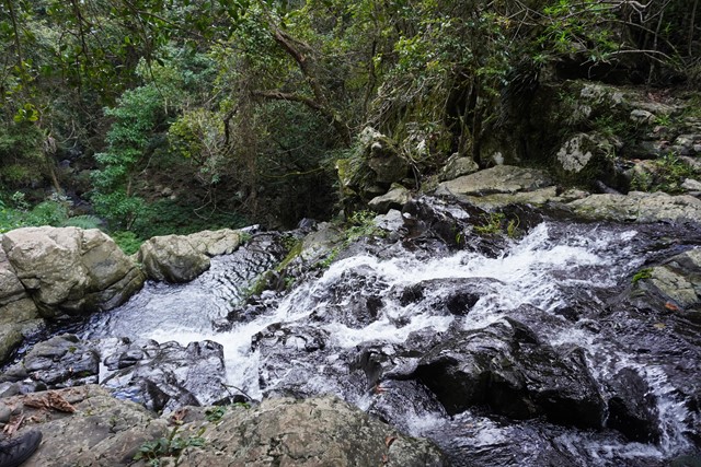
Wind gracefully along a gully lined with brush box and gently climb to this small but spectacular waterfall. Cross the creek at the top before descending sharply to the deep pool below.
13
km
4.5
hrs
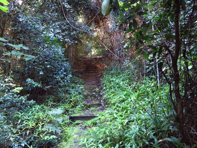
Bare Rock track and Morgan's Walk
Bare Rock is a minor peak North of Cunningham's Gap with great views towards the Mistake Mountains.
5
km
return
1
hr
Box Forest Track
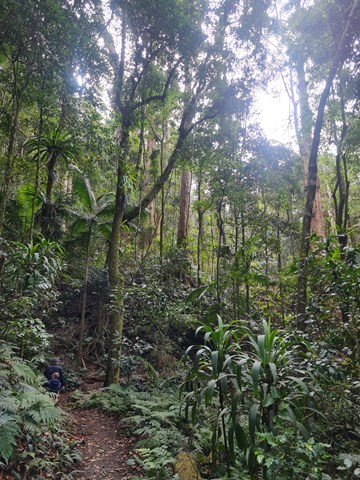
Rain forest walk from top car park to the bottom rest area at Cunningham's Gap. Includes 2 creek crossings and plenty of little waterfalls along the way.
1.4
km
return
75
mins
Browns Falls
Located only 4.5 kms outside of Killarney in the Scenic Rim. The 15m waterfall requires a 700 metre walk along a rough track involving plenty of climbing over rocks and under fallen trees. It is definitely worth the trek.
9
km
return
4
hrs
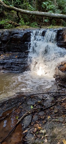
Cascades Circuit
THIS TRACK (SEPTEMBER 2025) IS CURRENTLY CLOSED DUE TO STORM DAMAGE.
A nice circuit starting off in a eucalypt forest and venturing deeper into the rainforest along the upper reaches of Dalrymple Creek.
Dalrymple is a level 3 track - medium
Cascades is a level 4 track - hard
Easiest way is to complete in clockwise direction and end up on the fire track heading back to the camp ground.
 20
km
return
7
hrs
20
km
return
7
hrs
Cunninghams Gap to Laidley Creek Falls
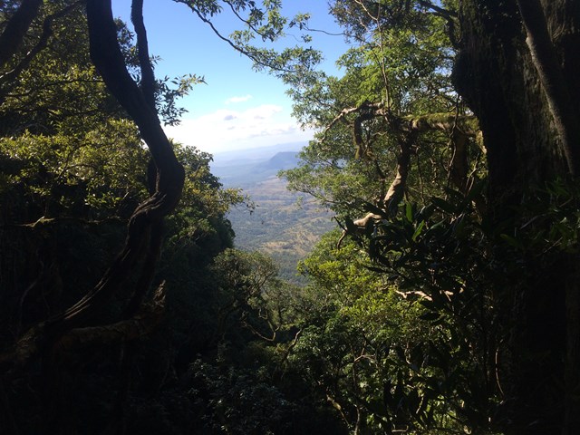
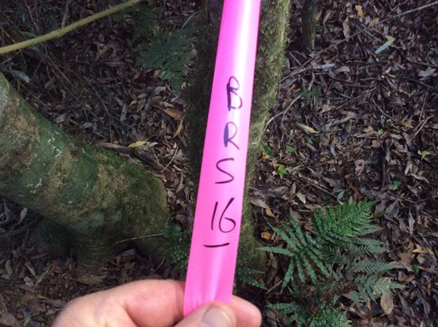
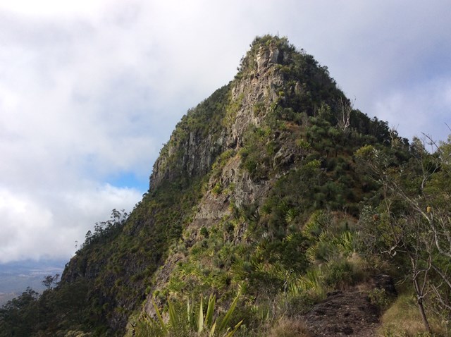
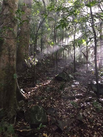
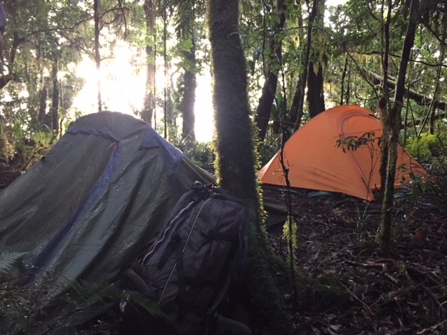
I've always loved the view of The Ramparts to the north of Cunninghams Gap when driving up Main Range, and have done the walk from the Gap to Bare Rock on a couple of occassions. This is only a short walk on a well-graded track, and not too much of a climb. The view at the end makes this a great short walk all by itself. However, I've always wondered what lay beyond. There's a map and a reasonable description of the route from Bare Rock to Laidley Creek Falls in "Take a Walk in South-east Queensland" (John and Lyn Daly) - refer page 257 Cunninghams Gap to Mount Castle. There's also a description in the out of print (but online) Bushpeople's Guide to Bushwalking in Southeast Queensland (Sylvesters Lookout to Mt Cordeaux)http://www.southee.com/Bushwalking/Ch15-MistakeMountains.html#label025. Several blogs indicate that it is a difficult walk with no views. I decided to investigate for myself (and without available walking buddies for the day - by myself) last weekend (14 May 2016). I never intended to walk through to Laidley Creek Falls, just investigate conditions beyond Bare Rock with a view to doing the walk through later in winter. Following are my observations.

 40
m
return
15
mins
40
m
return
15
mins
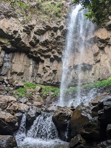
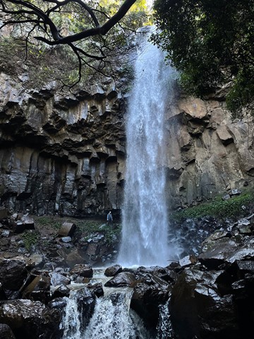
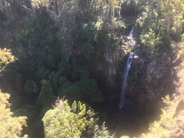
Daggs Falls Lookout
Daggs Falls on Spring Creek makes a dramatic 38m drop as you watch from the lookout above.