
Menu
Popular Walks
-
Mt Cordeaux
(667 ticks) -
Mt Mitchell
(565 ticks) -
Bare Rock track and Morgan's Walk
(329 ticks) -
Queen Mary Falls Circuit
(168 ticks) -
Mt. Mathieson Circuit
(114 ticks)
Parent Regions
Summary
Main Range National Park straddles the Great Dividing Range West of Brisbane. The park includes some of the most popular mountain walks in South-East Queensland including the highest mountain in the region, Mt Superbus.
Popular Walks
-
Mt Cordeaux
(667 ticks) -
Mt Mitchell
(565 ticks) -
Bare Rock track and Morgan's Walk
(329 ticks) -
Queen Mary Falls Circuit
(168 ticks) -
Mt. Mathieson Circuit
(114 ticks)
Parent Regions
History
Any interesting history for the region?
Features
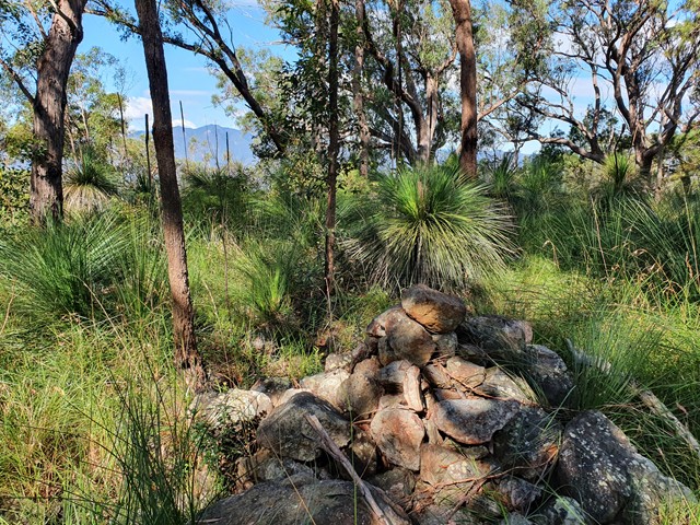
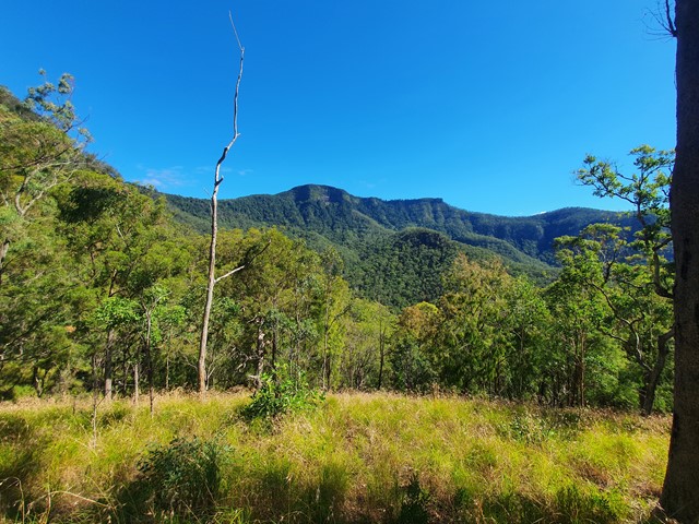
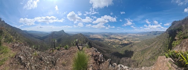
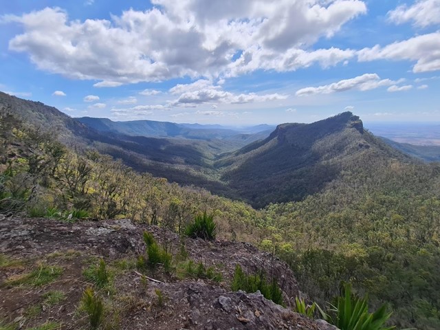
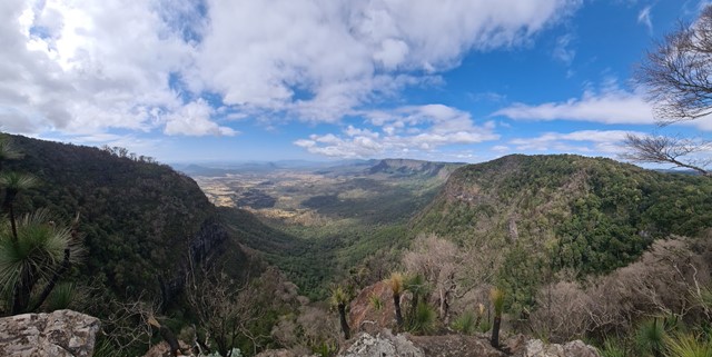
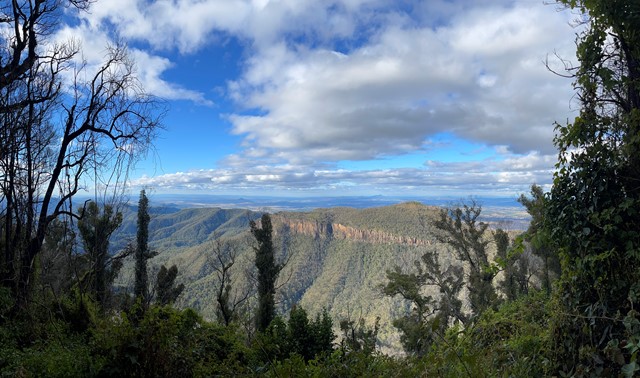
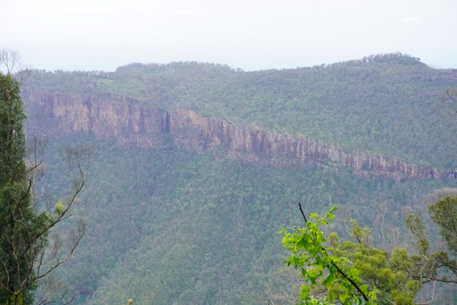
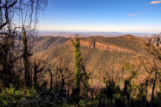
Lookouts and rugged landscapes are the highlight of Main Range. Walks range from well marked tracks like Mt Cordeaux and Mt Mitchell to multi-day off track treks down the range.
Maps
The large area which Main Range covers means quite a few maps are required to cover the whole area, but most walks will only use 1 or 2 of these. Sunmap 1:25000 sheets which cover the area include Cunninghams Gap, Mt Superbus, Wilsons Peak, Teviot, Mt Clunie, Mt Alford, Glen Rock, Townson, Thornton, Rosevale and Junction View
A 1:50000 sheet - Cunninghams Gap - is also available for the main area with adjoining maps of some use. Forestry maps may also be available.
Accommodation
Where can I stay there? or near there?
Camping
Other
Contact details
QPWS - http://www.epa.qld.gov.au/projects/park/index.cgi?noback=1&parkid=94
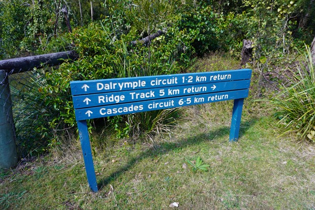
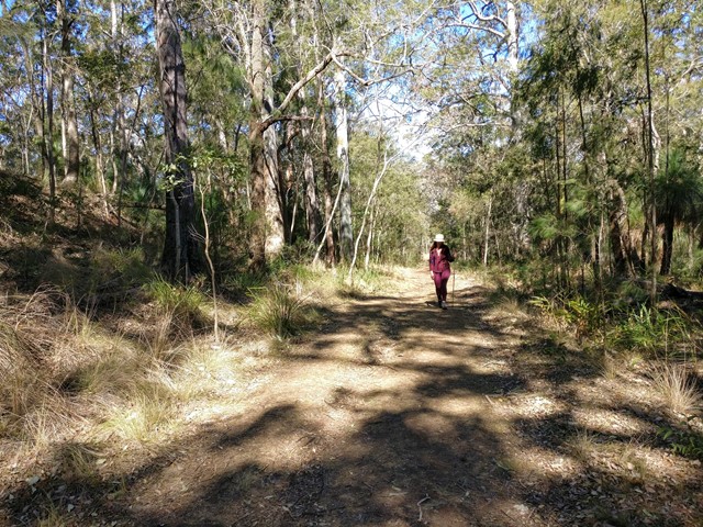
Walks in Main Range National Park

 1.2
km
return
1.2
km
return
 30
mins
30
mins
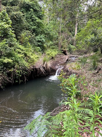
Dalrymple Circuit
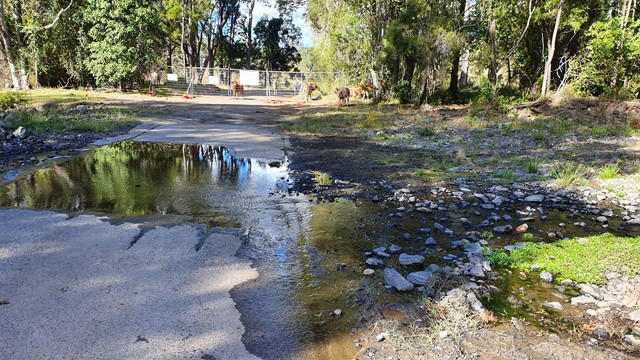
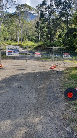
THIS WALK (SEPTEMBER 2025) IS CURRENTLY CLOSED DUE TO STORM DAMAGED.
A short easy walk from the Manna Gum camping area in the Goomburra section of the Main Range National Park.
 9.5
km
return
3.5
hrs
9.5
km
return
3.5
hrs
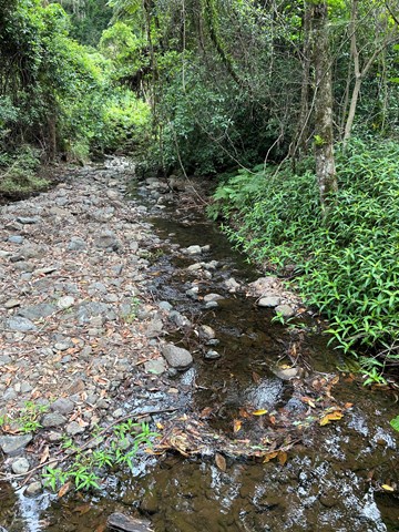
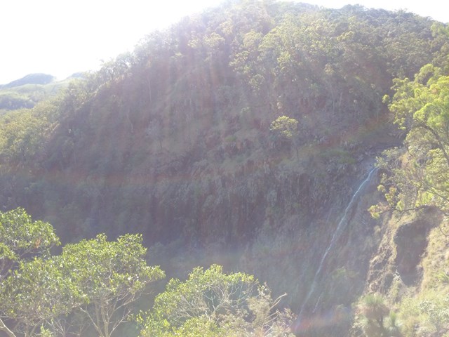
Gap Creek Falls
This is a moderately strenuous walk, with good views and a nice creek to paddle in.
 300
m
return
15
mins
300
m
return
15
mins
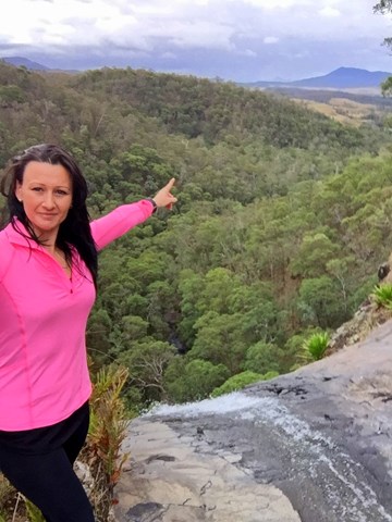
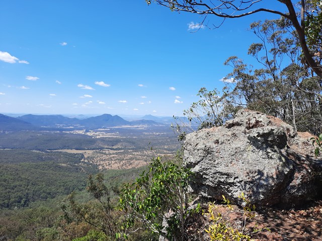
Governors Chair Lookout
Magnificent views out over the Fassifern Valley.
Take a seat in the large rock at the edge which was popular resting spot for early governors on their journeys over the range at Spicers Gap.
Be careful as it is a sheer cliff edge.
 3.2
km
return
1
hr
3.2
km
return
1
hr
Heritage trail
From the Governors Chair car park an interesting self-guiding walk, showing various road construction methods, follows the historic road.
 12.4
km
8
hrs
12.4
km
8
hrs
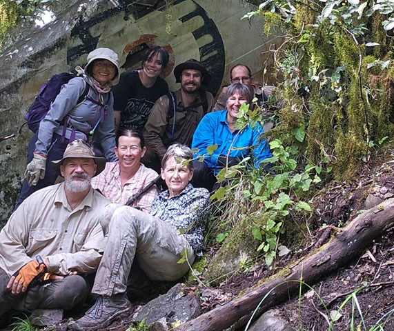
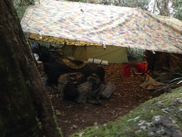
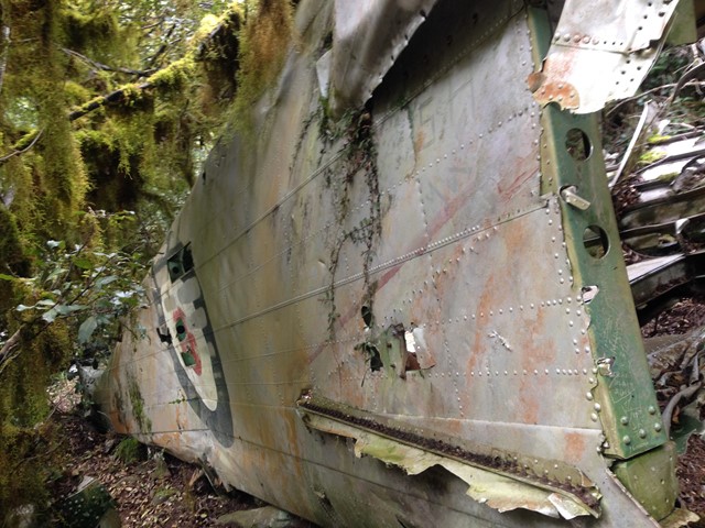
Lincoln Wreck Circuit
A very tough and steep, almost trackless walk to the summit of South-East Queensland's tallest mountain with a stop by the wreck of a plane from 1955.
 120
m
return
10
mins
120
m
return
10
mins
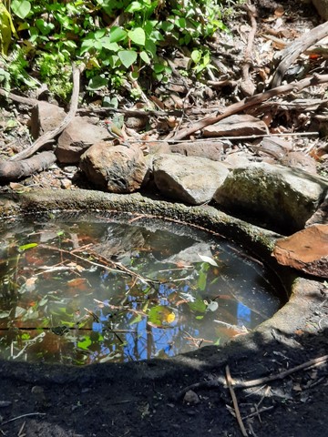
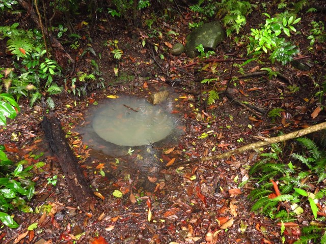
Moss's Well
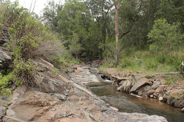
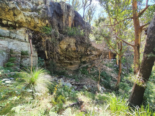
Moss's Well, in tall open forest, is a haven for many species of birds. The well is believed to take its name from Edward Moss, the first road contractor. This was the only water for travellers and their teams making their way over the range. The well water is now unsuitable for drinking.
 10
km
return
3
hrs
10
km
return
3
hrs
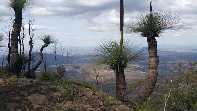
Mount Superbus
It may not provide any views from the summit, but at 1,375m above sea level Mount Superbus is the highest mountain in southern Queensland. By virtue of that fact, it's a must for any local peakbaggers.
 14
km
return
7
hrs
14
km
return
7
hrs
Mt Bangalore
An off track adventure up a mountain that barley anyone has heard of and even fewer have attempted. Navigation skills are a must, be prepared to spend copious amounts of time in long grass and spider webs.
 12
km
return
7
hrs
12
km
return
7
hrs
Mt Castle
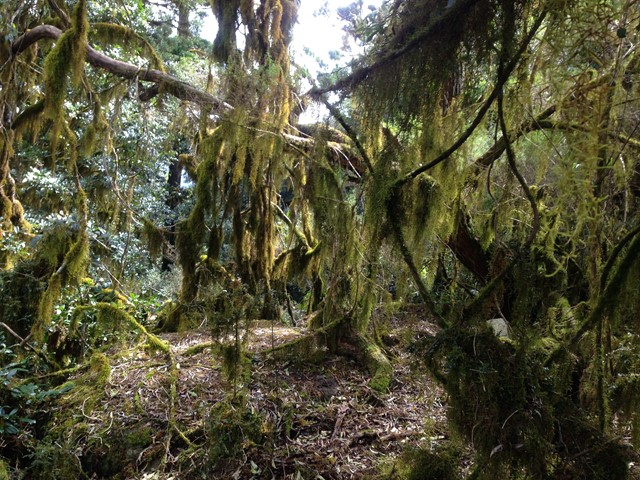
Mt Castle is situated North of the more iconic Mt Cordeaux along the Great Dividing Range. Though you technically lose elevation making your way from the carpark to the summit don't let this fool you, it is a very long and challenging hike. There are sections of scrambling along exposed cliffs, bush bashing and steep inclines in either direction. That being said, the walk has some of the best views of the Great Dividing Range.
 1
km
return
45
mins
1
km
return
45
mins
Mt Castle Lookout
Short track walk to see great view of Mt Castle, Flinders Peak and even Brisbane on a clear day.