
Gap Creek Falls
Main Range National Park


Menu

This is a moderately strenuous walk, with good views and a nice creek to paddle in.

Getting there
Park in the Crest carpack, Cunningham's Gap
Maps
QTopo 9341-114
Route/Trail notes
Was temporarily closed due to bushfires but now reopened. This walk is best to do after rain. Because of the small catchment of Gap Creek, it dries out quickly.
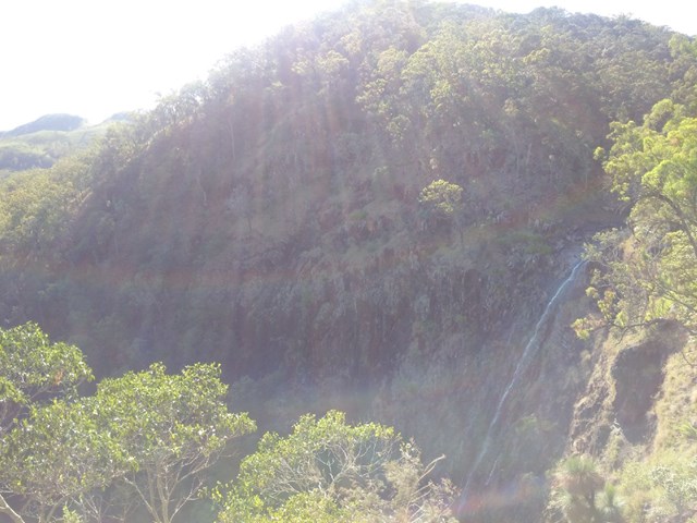
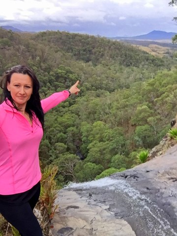
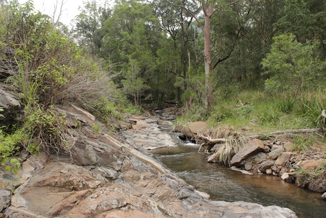
After leaving the carpark, head towards the Mt Cordeaux track. Keep taking the right hand branch at track junctions, and head East. The walk branches off from the track to Mt Cordeaux at the Fassifern Valley lookout (the highest point of the walk). From here the track zigzags downhill through rainforest initially and then more open bush. About an hour into the walk, there is a small creek to cross. This can be a bit tricky because of slippery rocks. Fifteen minutes after this crossing you will hear, then see a waterfall to your left. On the right day this can be very pretty (and easier to see than the actual Gap Creek Falls). A few more minutes and you reach cliffs, with Gap Creek Falls to your right. There are lovely views over the farmlands and valley (unfortunately, it's very difficult getting a good view of the falls without going very close to the edge of the cliffs). There is then a short steepish climb down to Gap Creek and the top of the falls. From here you can wander along the creek a little and have a paddle. Be careful because the rock slabs can be very slippery. Return by the same track.
Permits/Costs
No permits necessary
Other References
There is a brief description in "Take a Walk in South-East Queensland"
GPS Tracks
- No GPS available for this walk yet.
 9.5
9.5 3.5
3.5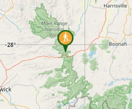
Comments