
Cunninghams Gap to Mount Castle
Main Range National Park


Menu

Getting there
Drive along the Cunningham Hwy from Brisbane toward Warwick. Once you enter the Main Range you'll start to drive up the mountain. At one of the sharp left turns there is a small cark park on the right hand side (North), where there is a toilet.
Maps
1:25000 Cunningham's Gap 9341-11 topographic line map
Route/Trail notes
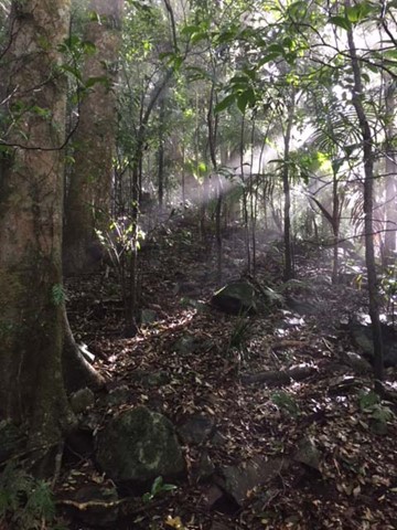
Start at the Cunninghams Gap cark park (approx S28 02.978 E152 23.590) and head out to Bare Rock (approx S28 01.576 E152 23.116) on a well maintained path. From Bare Rock head North West straight into the bush,from this point until Sylvesters Lookout there is virtually no track. Follow ridge line around to Sylvesters Lookout (approx. S27 58.618 E152 23.087). From Sylvesters Lookout head North East along the ridge line on a maintained track to Laidley Falls Camp ground (approx S27 58.498 E152 23.811). From Laidley Falls camp ground head North East out to the ridge peak then alone the razor back ridge moving directly North. Once at the base of Mount Castle it is easiest to move up the final peak from the North side. Mount Castle is approx. S27 57.724 E152 24.174.
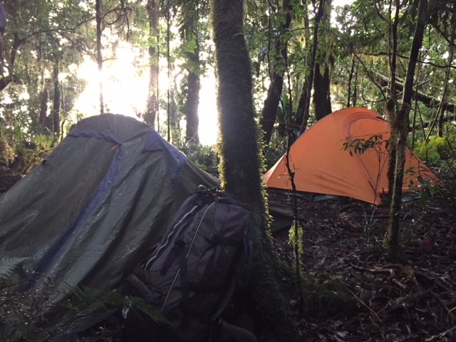
We did this hike in one day, but it was a full 13 hours of hiking, no long breaks. You can camp at Laidley Falls camp ground, which I have done before and it was great.
Permits/Costs
If you wish to camp at Laidley Falls Camp Ground to need to get a permit from DERM. It was $5.30 per tent in 2011.
Other References
Take a Walk book by John and Lyn Daly has some good information about the area. http://www.takeawalk.com.au/
GPS Tracks
- No GPS available for this walk yet.
 32
32 13
13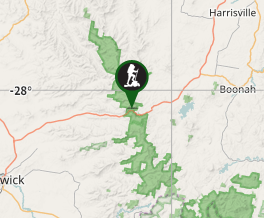
Comments