
Northern Scenic Rim Trail to Mt Mistake Campsite Day walk
Main Range National Park


Menu
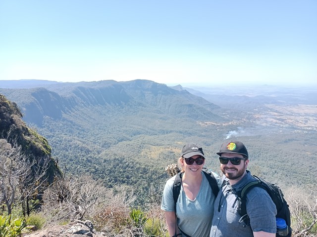
Explore the first part of the Scenic Rim Trail walk - a good workout and nice views

Getting there
To get to the start of the walk, drive to Laidley from the Warrego Highway or Rosewood (west of Ipswich), then head south past Mulgowie. Continue to Thornton, turning right at Centenary Park (21km south of Laidley), cross Laidley Creek, and turn left at Thornton State School onto Main Camp Creek Road. Follow Main Camp Creek Road (which becomes gravel) for about 5.5km, take the sharp right hand bend at a gate to private property, and continue west another few hundred metres to the grid into Thornton View Nature Refuge. Although a 4WD vehicle isn't necessary, what appears to be drains across the gravel road mean that low clearance vehicles can bottom out. Toilets and the car park are on your right.
Maps
http://www.markroberts.id.au/Wordpress/scenic-rim-trail/
Route/Trail notes
Walk behind the toilets towards the road leading west (this is the access road to the Spicers lodge), go through the gate and then turn left (following the orange triangle marker) and cross the road (marked by several stepping stones). This brings you to the start of the track. You will walk along a meandering track in hilly country before reaching a series of several small (usually) dry waterfalls, which must be climbed. They aren't difficult, but you have to be careful if it's wet, especially coming back down. The track then ascends the escarpment via a series of switchbacks before reaching some cliffs. A track to the left leads to ladders built for the use of lodge guests, but following the main track to the right skirts around the cliffs, again, through a series of switchbacks. After this, you've conquered the steepest part of the climb, with the track running along the edge of the ridge/escarpment, gradually ascending. Here there are great views to the north and east (and some restricted views to the west). There are a couple of small scrambles involved, but no significant exposure. Notably, the track runs parallel to the access road for most of the way (crossing it at points), so if you did find yourself in trouble there is a slightly easier way back to your car. Eventually, you will reach the lodge boundary, with the track passing it on the east. There are more views to the east after the lodge, then after about a kilometre you will reach the campsite, where there are views to the west, as well as toilets!
Permits/Costs
No cost for day walkers.
Other References
GPS Tracks
- No GPS available for this walk yet.
 18
18 7
7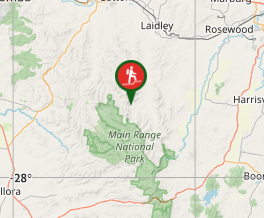
Comments