
East Lookout
Glen Rock Regional Park


Menu
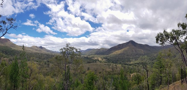
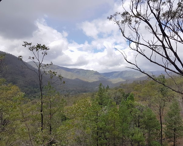
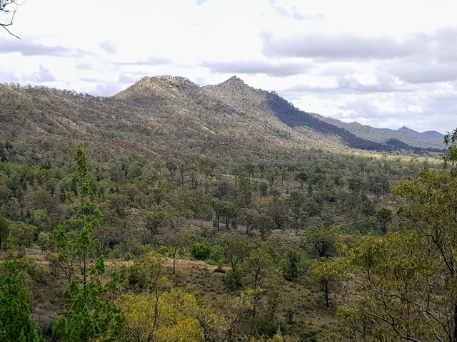
Climb to a lookout at the base of Glen Rock. This walk provides great views down the valley carved by Blackfellow Creek and a good overview of Glen Rock Regional Park.

Getting there
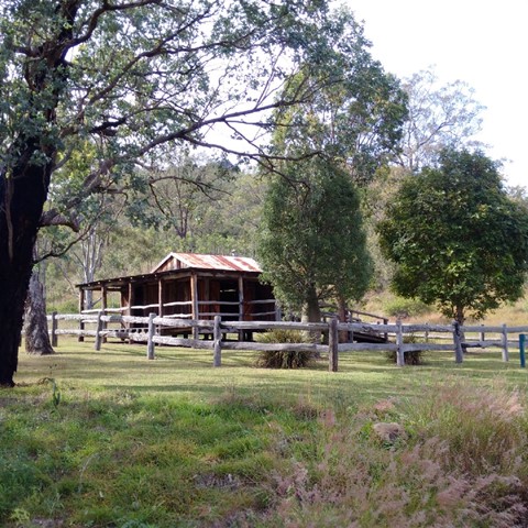
Start from the log hut across the road from the Casuarina Rest Area. Details for getting to the Casuarina Rest Area are available in the Glen Rock description.
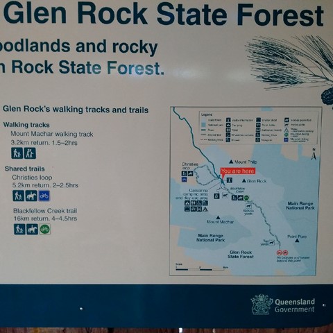
Maps
Which maps cover the area?
Route/Trail notes
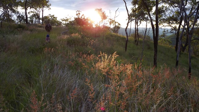
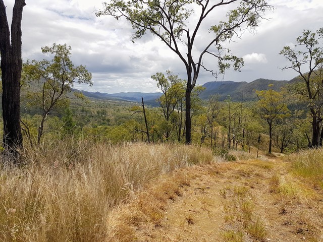
Looking from the hut towards Glen Rock on the right, you should be able to make out a vehicle track winding its way up the slope. Take note of this, as you'll be spending most of the walk on it!
To find the start of the track, make your way up the slope to the right of the hut and travel cross-country towards the vehicle track. Depending on current conditions, there should be some goat trails across the grassy field. You should encounter the vehicle track fairly quickly. From there simply follow the track as it winds back and forth up the hill.
You'll obtain multiple opportunities for great views as you rise, and if you're lucky, a selection of magnificent spider webs which are worth a pause and a photo.
You'll eventually reach the top of the ridge and the track will become more overgrown, following a fence-line part of the way. This point gives a good view and is a suitable stopping point, however the track continues on to the bottom of Glen Rock, though the last little bit is a decent scramble. According to my guide book, the top of Glen Rock isn't achievable from this point and I didn't attempt it. There's an obvious ridge behind the rock though and it's likely that you could use that as an access route, though not from this walk.
Other References
Neil McKilligan and Ian Savage, "Bush Walks in the Toowoomba Region", Third Edition, USQ Press, 2001
GPS Tracks
- No GPS available for this walk yet.
 3
3 1
1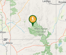
Comments