
Glen Rock
Glen Rock Regional Park


Menu
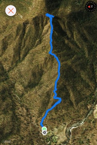
GPS Tracks
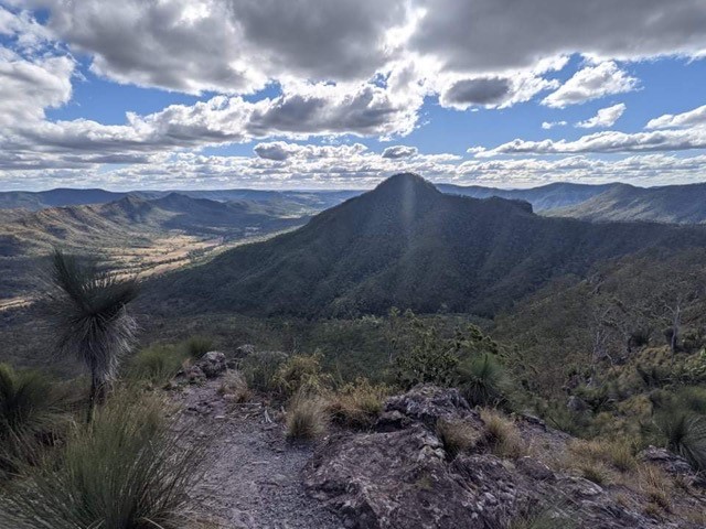

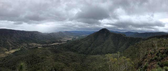
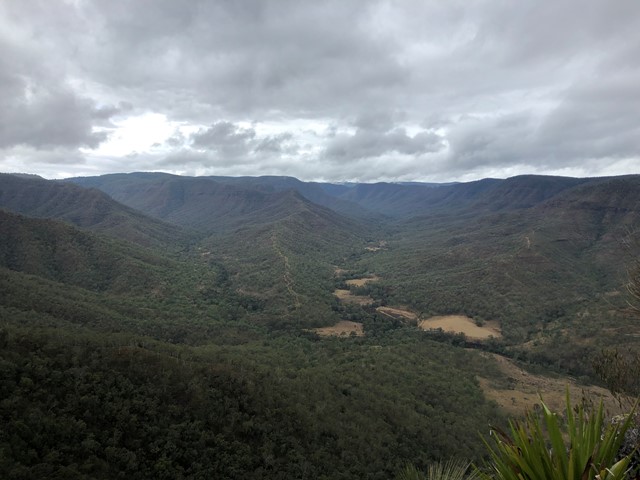
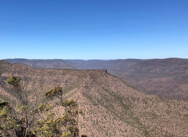
Glen Rock State Forest is situated at the head of Tenthill Valley and adjoins the World Heritage-listed Main Range National Park.
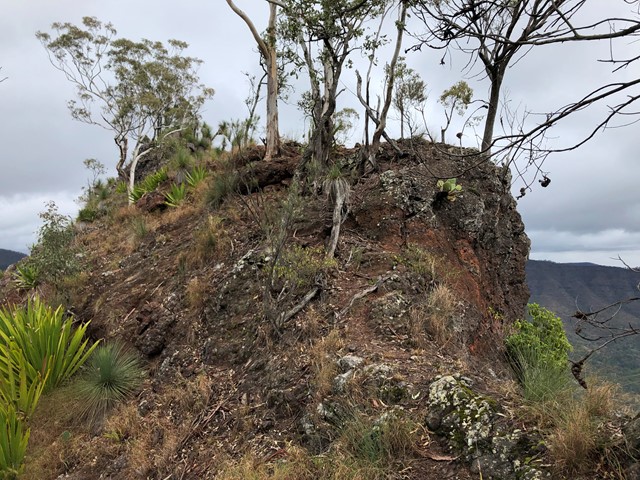
Scrambling or Climbing
Navigation Required

Getting there
Glen Rock Regional Park is located approximately 42km to the south of Gatton along East Haldon Road.
Maps
https://www.npsr.qld.gov.au/parks/glen-rock/
Route/Trail notes
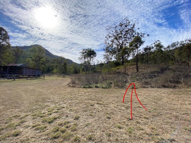
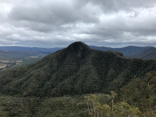
From the southern side of the information shed you should see a break trail heading in an easterly direction accending towards Glen Rock, follow this trail until it finishes and becomes a more faint walking trail at the top of this ridge. From here traverse this trail carefully towards Glen Rock which will take you to the northern approach where you can scramble to the top of Glen Rock.
Permits/Costs
N/A
 Glen Rock Walk (GPX)
 5
5 3
3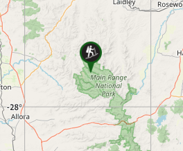
Comments