
Menu
Popular Walks
-
Mt Ngungun
(1151 ticks) -
Mount Coolum
(869 ticks) -
Mt Cordeaux
(665 ticks) -
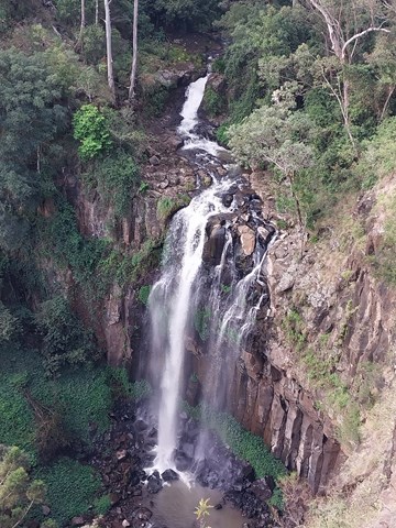
Twin Falls Circuit
(635 ticks) -
Purling Brook Falls Circuit
(610 ticks)
Parent Regions
Sub-Regions
- Amamoor State Forest
- Bellthorpe National Park
- Brisbane City Council Local Walks
- Brisbane Forest park D'Aguilar National Park
- Brisbane Valley Rail Trail
- Coombabah Lakelands Conservation Area
- Daisy Hill Conservation Park
- Eumundi Conservation Park
- Glass House Mountains National Park
- Glen Rock Regional Park
- Gold Coast
- Ipswich
- Jimna State Forest
- Karawatha Forest
- Kondalilla National Park
- Lamington National Park
- Main Range National Park
- Mapleton National Park
- Moggill Conservation Park
- Moogerah Peaks National Park
- Moreton Island National Park
- Mt Barney National Park
- North Stradbroke Island - Minjeeribah
- Parklands Conservation Park
- Springbrook National Park
- Sunshine Coast
- Tamborine National Park
- White Rock - Spring Mountain Conservation Estate
Summary
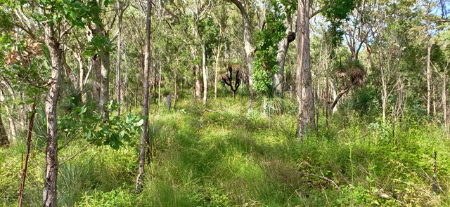
Boarding NSW and the pacific Ocean, it is not uncommon for hikes to have views of both worlds (ocean and hinterland). Hikes here are typically on the great dividing range.
Popular Walks
-
Mt Ngungun
(1151 ticks) -
Mount Coolum
(869 ticks) -
Mt Cordeaux
(665 ticks) -
Twin Falls Circuit
(635 ticks) -
Purling Brook Falls Circuit
(610 ticks)
Parent Regions
Sub-Regions
- Amamoor State Forest
- Bellthorpe National Park
- Brisbane City Council Local Walks
- Brisbane Forest park D'Aguilar National Park
- Brisbane Valley Rail Trail
- Coombabah Lakelands Conservation Area
- Daisy Hill Conservation Park
- Eumundi Conservation Park
- Glass House Mountains National Park
- Glen Rock Regional Park
- Gold Coast
- Ipswich
- Jimna State Forest
- Karawatha Forest
- Kondalilla National Park
- Lamington National Park
- Main Range National Park
- Mapleton National Park
- Moggill Conservation Park
- Moogerah Peaks National Park
- Moreton Island National Park
- Mt Barney National Park
- North Stradbroke Island - Minjeeribah
- Parklands Conservation Park
- Springbrook National Park
- Sunshine Coast
- Tamborine National Park
- White Rock - Spring Mountain Conservation Estate
History
Any interesting history for the region?
Features
What are the standout bushwalking features?
Access
How do you get there? Include all access points if there are many?
Maps
Which maps cover the region?
Accommodation
Where can I stay there? or near there?
Camping
Council Areas:
- Scenic Rim Regional
- Gold Coast City
- Logan City
- Redland City
- Ipswich City
- Lockyer Valley Regional
- Brisbane City
- Somerset Regional
- Moreton Bay Regional
- Sunshine Coast Regional
- Noosa Shire
Contact details
See Qld National parks website
Walks in Main Range National Park

 18
km
return
18
km
return
 7
hrs
7
hrs
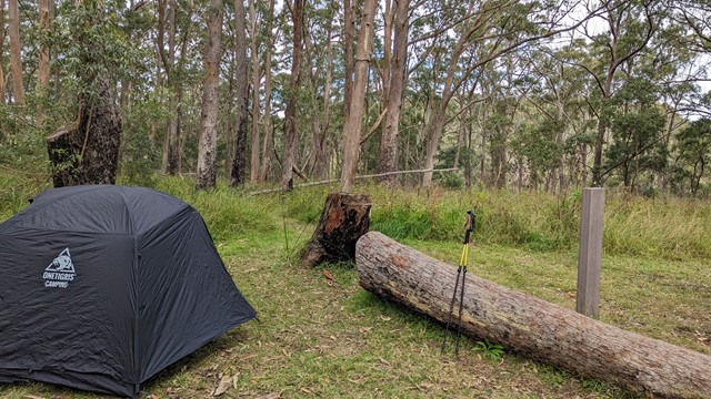
Northern Scenic Rim Trail to Mt Mistake Campsite Day walk
Explore the first part of the Scenic Rim Trail walk - a good workout and nice views
 4.4
km
2
hrs
4.4
km
2
hrs
Palm Grove Circuit
Branching from the Rainforest Circuit, this walk ends in a one kilometre circuit featuring a dense grove of Piccabeen palms in rainforest and open eucalypt forest. A variety of birdlife can be seen and the track is suitable for all ages.
 130
m
12
mins
130
m
12
mins
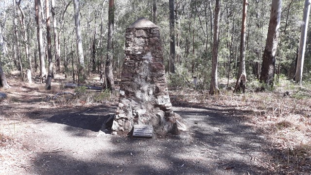
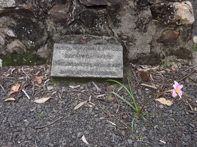
Pioneers Graves
130 meters south of the Pioneer picnic ground. A cairn stands to represent where the Pioneers of the area are buried.
 2
km
return
45
mins
2
km
return
45
mins
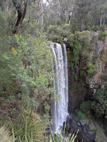
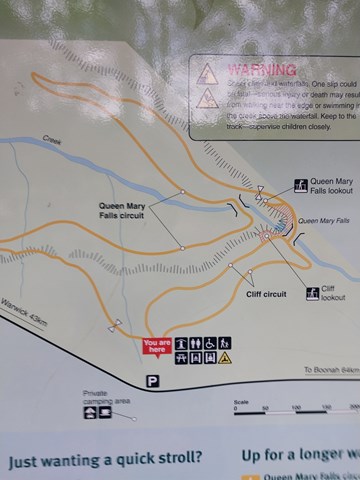
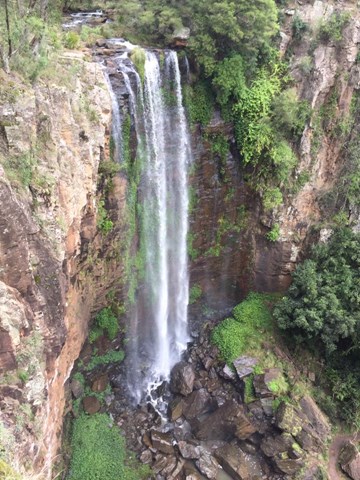
Queen Mary Falls Circuit
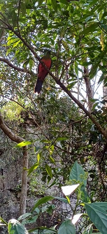
From the Queen Mary Falls lookout, watch Spring Creek plunge over the 40m Queen Mary Falls to continue its twisting journey down the valley floor to join the Condamine River. On a summer's day take time to pause for a moment to feel the waterfall's cool spray.
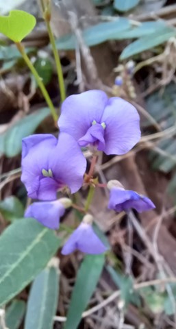
There are often water dragons sunbaking on rocks around the valley floor and the track goes through plenty of ferns and native Australian trees.
 900
m
return
30
mins
900
m
return
30
mins
Queen Mary Falls Lookout
This walk takes you to the top of Queen Mary Falls, which is part of the headwaters of one of Australia's longest river systems, the Murray–Darling. Great care should be taken when viewing the gorge below and carefully supervise children.
 1.6
km
return
25
mins
1.6
km
return
25
mins
Rainforest Circuit
The circuit commences at the eastern end of The Crest car park. It passes the Allan Cunningham monument and is the beginning of an extensive track system on the northern side of Cunninghams Gap. The Fassifern Valley lookout is on the eastern part of the circuit and can be reached by climbing the stairs at the first track junction. The lookout provides a spectacular view over distinctive volcanic peaks, the Fassifern Valley and Lake Moogerah.
For an easier way round the circuit, turn left at the base of the stairs and walk the circuit in a clockwise direction.
 5
km
return
2.5
hrs
5
km
return
2.5
hrs
Ridge Track
This steep circuit that rewards you with views into the Dalrymple Creek valley in the Main Range National Park.
47
km
one-way
4
days
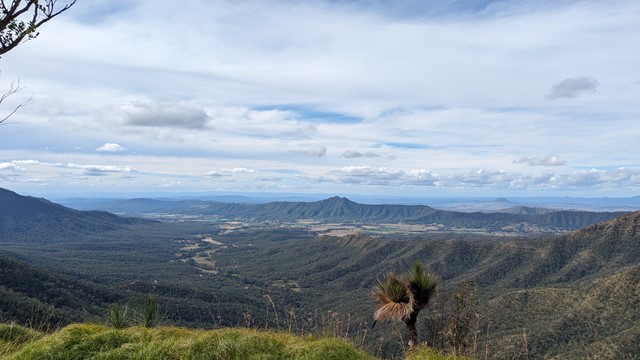
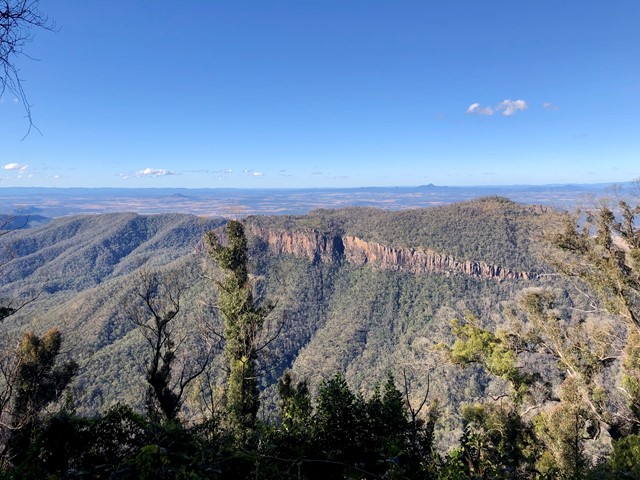
Scenic Rim Trail
The Scenic Rim Trail is a new 4-day/3-night hike near Brisbane. Our group didn’t find the DES website information particularly helpful so thought we’d add some details we would liked to have known for future hikers.
 6
km
return
4
hrs
6
km
return
4
hrs
Spicer's peak
A steep and loose ascent from Governor's Chair. The views are great over the Fassifern Valley.
 18
km
2
days
18
km
2
days
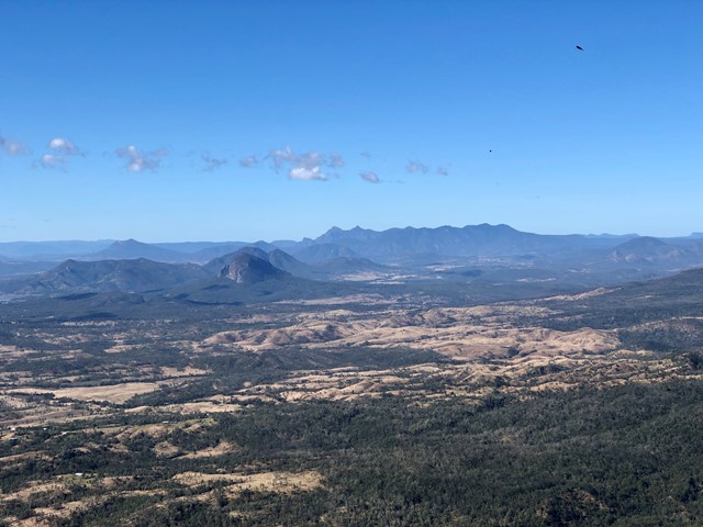
Spicers Peak West
We have ventured to this part a couple of times now and still find it a challenge worth doing.
Nothing massively hard in the climb to the top except when we last did the climb and indeed every time before that we were carrying way too much weight.
We followed the old track up from Governors Chair lookout for about 3.5km until seeing a clearing on the left hand side of the road.
From there we left the road to find the bigger of the the spurs that lead to the main ridge. The climb up the spur did get a bit steep towards the ridge and was quite soft dirt under foot so takes a bit of time to get through. We like to do things the hard way ...(:
Once on the ridge the route does get a bit easier for a while with a gental climb for a couple of hundred meters.
From there it gets steeper and rockier with some minor obstacles and scrambling.
Camping before reaching the overgrown part on a grassy outcrop, we have an awesome view of the Darling Downs district and the sun set.
As much as like new places, this mountain keeps me coming back for more.
Maybe it's because it's not as popular as other walks near by.