
Sylvesters Lookout to HOLE-in-the-WALL
Main Range National Park


Menu
GPS Tracks
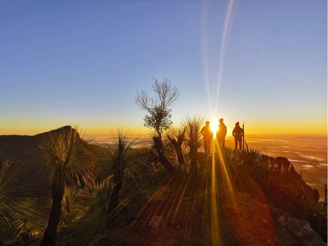

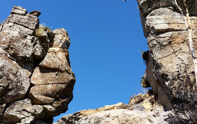
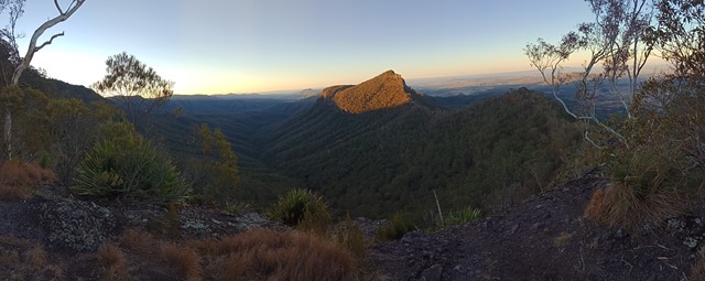
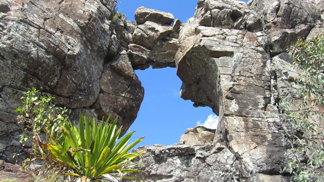
Near the top of a rocky ridge there's a hole where there used to be a hole. Spectacular views across the Laidley Creek valley , Mt Castle and the Main Range

Getting there
Drive to the Gomburra NP section and then follow gravel road to nearly the top. Walk from Cunninghams Gap taking 3 days. Considerable map and navigational skills area required.
Maps
Cunninghams Gap, Townson
Route/Trail notes
From Sylvesters Lookout the track starts out ok, but soon turns extremely hard when the track becomes totally overgrown. There are sections of thick vine forest and disturbed areas with occasional impenetrable thickets of lantana or blackberry so leave time for experimentation with route
Permits/Costs
Remote area Bush camping permits are required when camping at Laidley Creek Falls and other campsites.
Other References
 to Laidley Creek bush camp (GPX)
 6.5
6.5 5
5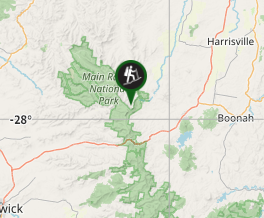
Comments