
Menu
Popular Walks
-
Mt Ngungun
(1151 ticks) -
Mount Coolum
(869 ticks) -
Mt Cordeaux
(665 ticks) -
Twin Falls Circuit
(635 ticks) -
Purling Brook Falls Circuit
(610 ticks)
Parent Regions
Sub-Regions
- Amamoor State Forest
- Bellthorpe National Park
- Brisbane City Council Local Walks
- Brisbane Forest park D'Aguilar National Park
- Brisbane Valley Rail Trail
- Coombabah Lakelands Conservation Area
- Daisy Hill Conservation Park
- Eumundi Conservation Park
- Glass House Mountains National Park
- Glen Rock Regional Park
- Gold Coast
- Ipswich
- Jimna State Forest
- Karawatha Forest
- Kondalilla National Park
- Lamington National Park
- Main Range National Park
- Mapleton National Park
- Moggill Conservation Park
- Moogerah Peaks National Park
- Moreton Island National Park
- Mt Barney National Park
- North Stradbroke Island - Minjeeribah
- Parklands Conservation Park
- Springbrook National Park
- Sunshine Coast
- Tamborine National Park
- White Rock - Spring Mountain Conservation Estate
Summary
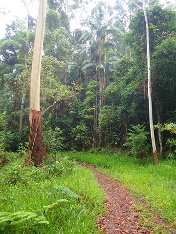
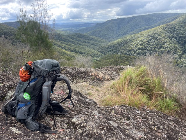
Boarding NSW and the pacific Ocean, it is not uncommon for hikes to have views of both worlds (ocean and hinterland). Hikes here are typically on the great dividing range.
Popular Walks
-
Mt Ngungun
(1151 ticks) -
Mount Coolum
(869 ticks) -
Mt Cordeaux
(665 ticks) -
Twin Falls Circuit
(635 ticks) -
Purling Brook Falls Circuit
(610 ticks)
Parent Regions
Sub-Regions
- Amamoor State Forest
- Bellthorpe National Park
- Brisbane City Council Local Walks
- Brisbane Forest park D'Aguilar National Park
- Brisbane Valley Rail Trail
- Coombabah Lakelands Conservation Area
- Daisy Hill Conservation Park
- Eumundi Conservation Park
- Glass House Mountains National Park
- Glen Rock Regional Park
- Gold Coast
- Ipswich
- Jimna State Forest
- Karawatha Forest
- Kondalilla National Park
- Lamington National Park
- Main Range National Park
- Mapleton National Park
- Moggill Conservation Park
- Moogerah Peaks National Park
- Moreton Island National Park
- Mt Barney National Park
- North Stradbroke Island - Minjeeribah
- Parklands Conservation Park
- Springbrook National Park
- Sunshine Coast
- Tamborine National Park
- White Rock - Spring Mountain Conservation Estate
History
Any interesting history for the region?
Features
What are the standout bushwalking features?
Access
How do you get there? Include all access points if there are many?
Maps
Which maps cover the region?
Accommodation
Where can I stay there? or near there?
Camping
Council Areas:
- Scenic Rim Regional
- Gold Coast City
- Logan City
- Redland City
- Ipswich City
- Lockyer Valley Regional
- Brisbane City
- Somerset Regional
- Moreton Bay Regional
- Sunshine Coast Regional
- Noosa Shire
Contact details
See Qld National parks website
Walks in Main Range National Park

 1
km
return
1
km
return
 30
mins
30
mins
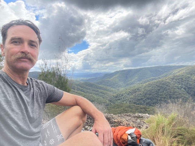
Sylvesters Lookout
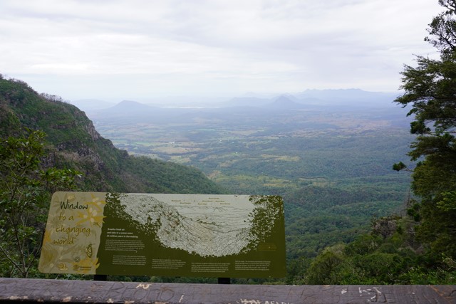
From Sylvesters Lookout carpark follow an easy walking track to outstanding views. Even though they may be limited but still worth the walk.
 6.5
km
5
hrs
6.5
km
5
hrs
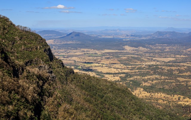
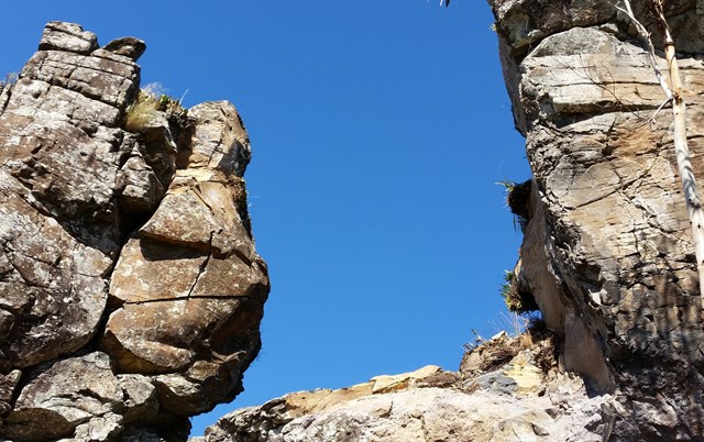
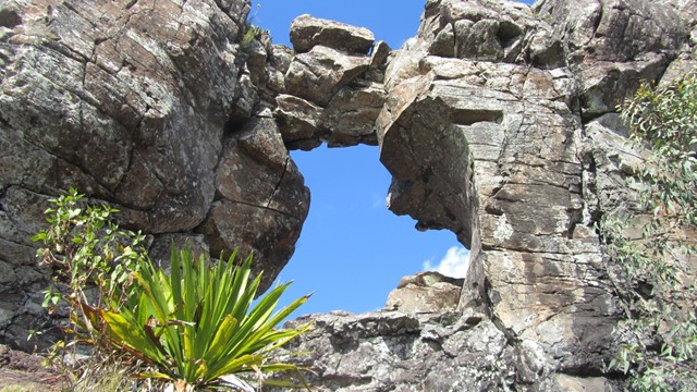
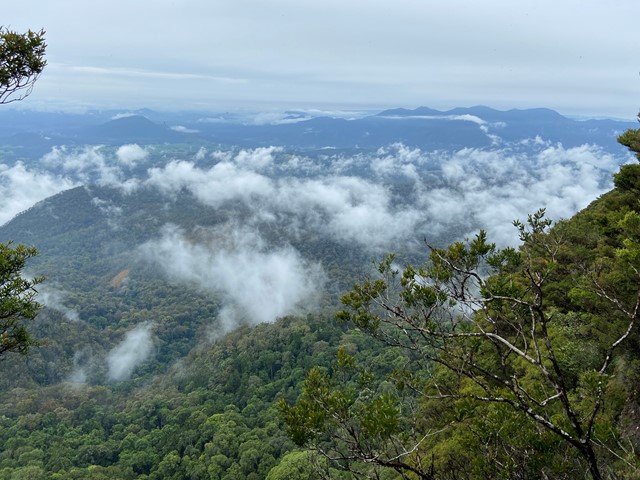
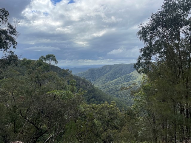
Sylvesters Lookout to HOLE-in-the-WALL
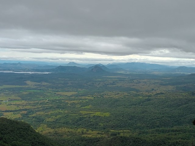
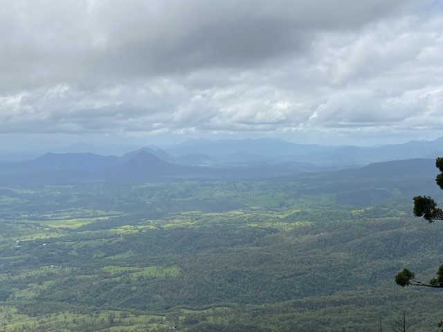
Near the top of a rocky ridge there's a hole where there used to be a hole. Spectacular views across the Laidley Creek valley , Mt Castle and the Main Range
 100
m
return
10
mins
100
m
return
10
mins
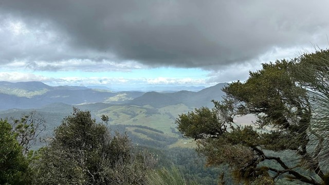
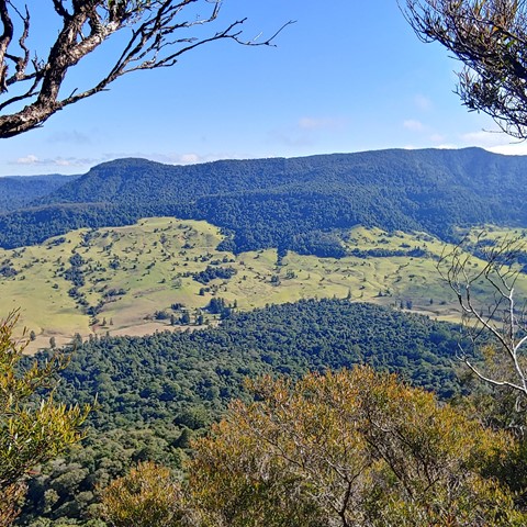
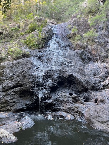
Teviot Falls Lookout
A short roadside stop to views of Teviot Falls, Main Range and into the scenic rim.
 18
km
return
2
days
18
km
return
2
days
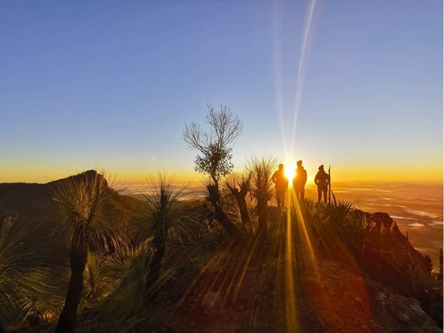
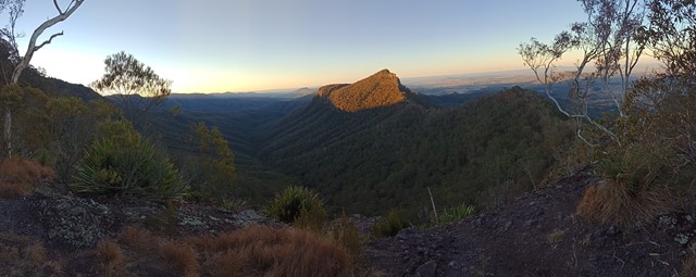
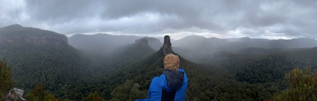
The Steamers
Great classic walk to a beautiful bush feature and some fantastic views
 12.5
km
return
7
hrs
12.5
km
return
7
hrs
The Steamers Via Creek
A mostly offtrack walk navigating a picturesque creek, The Stern, The Mast and The Funnel.
 12
km
5.5
hrs
12
km
5.5
hrs
Wilson's Peak - Eastern Approach
The eastern approach to Wilsons Peak, following the Qld/NSW rabbit fence to a mountain that straddles the border, with some really steep sections.
 12
km
return
4
hrs
12
km
return
4
hrs
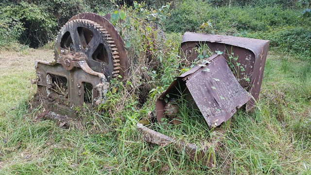
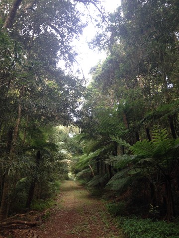
Winder Track
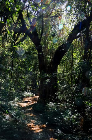
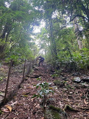
The Winder track starts at the north-east end of Lookout Road, 6.3 km beyond Kurrajong picnic area. This track passes through rainforest along the crest of the Mistake Range before ending at the 'winder', a piece of relic machinery from the early days of timber cutting.
Walks in Mapleton National Park
300
m
return
15
mins
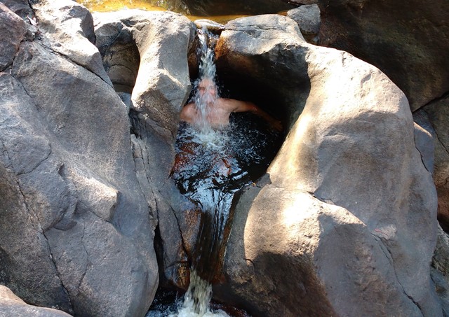
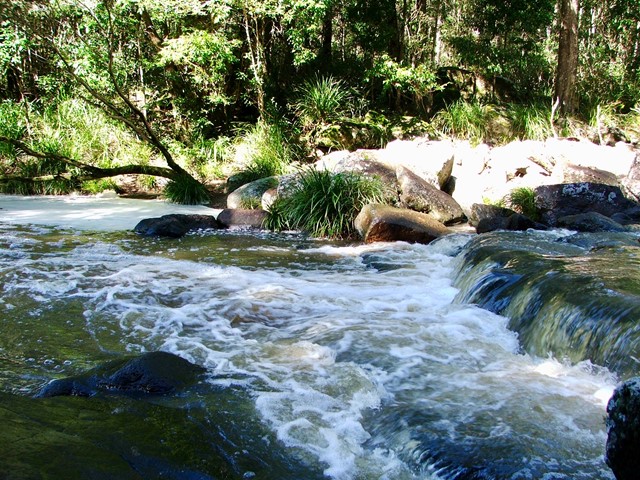
Cooloolabin Conservation Park - Kiamba Rd Section.
This is all about peace and tranquillity; sitting on the rocks or dipping your feet in the cool water pools, as the waters cascade over the boulders.
 2.8
km
return
1
hr
2.8
km
return
1
hr
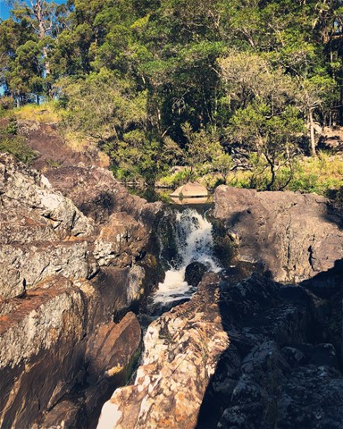
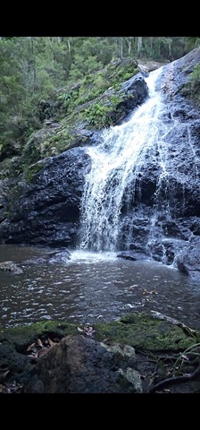
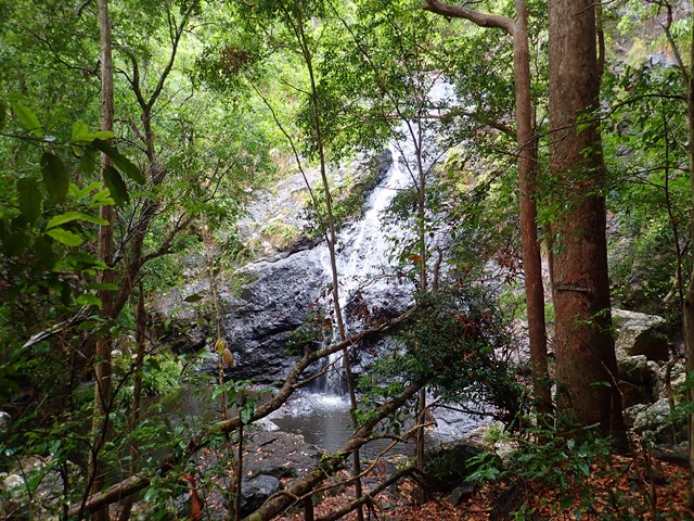
Gheerulla Falls
A lovely short, but fairly steep walk down an overgrown track to the creek bed and hidden water fall.
 22
km
6
hrs
22
km
6
hrs
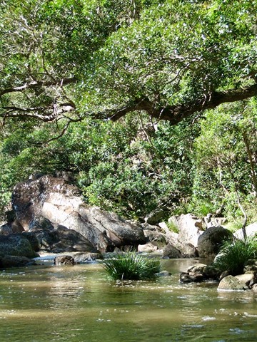
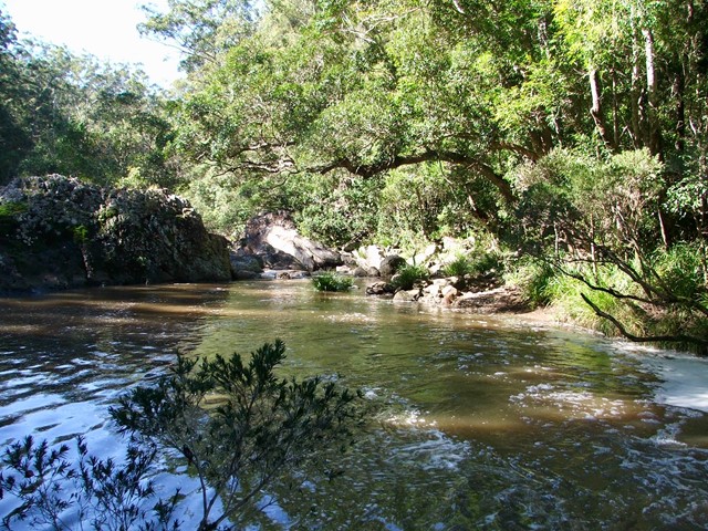
Gheerulla Valley Circuit
A pleasant day walk in the spectacular Gheerulla Valley including some steep sections from the river up and some great lookouts at the top.