
Menu
Popular Walks
-
Fernvale to Lowood - Part of BVRT
(13 ticks) -
Wulkaraka to Fernvale - Part of BVRT
(9 ticks) -
Diamantina Boulevard to Borallon Station Road - Part of BVRT
(7 ticks) -
Wulkuraka Station to Diamantina Boulevard - Part of BVRT
(6 ticks) -
Coominya to Esk - Part of BVRT
(5 ticks)
Parent Regions
Summary
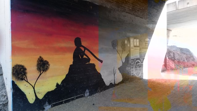
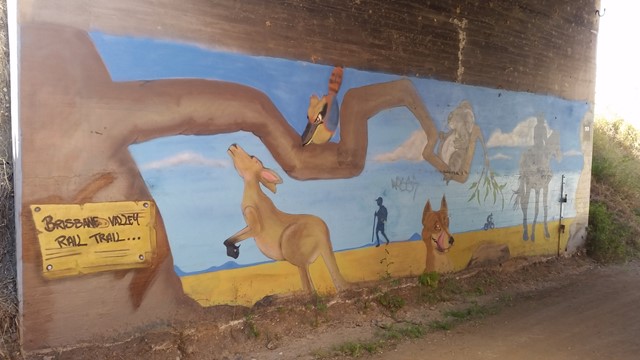
An old used rail line turned into a shared walk, cycling and horse riding trail. Going through small local towns this is a wonderful place of history.
Popular Walks
-
Fernvale to Lowood - Part of BVRT
(13 ticks) -
Wulkaraka to Fernvale - Part of BVRT
(9 ticks) -
Diamantina Boulevard to Borallon Station Road - Part of BVRT
(7 ticks) -
Wulkuraka Station to Diamantina Boulevard - Part of BVRT
(6 ticks) -
Coominya to Esk - Part of BVRT
(5 ticks)
Parent Regions
Access
There are hundreds of access points to start the trail, best off starting at one of the small towns.
Maps
https://www.tmr.qld.gov.au/BVRT/Trail-map
Accommodation
The websites below describe some accommodation options.
Contact details
https://www.tmr.qld.gov.au/BVRT/
Walks in Brisbane Valley Rail Trail

 18
km
one-way
18
km
one-way
 4.5
hrs
4.5
hrs
Benarkin to Linville- Part of BVRT
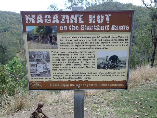
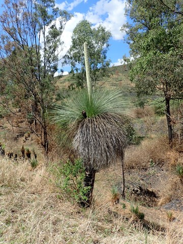
The Benarkin to Linville section is 18km, downhill. The only inclines are crossings of Blackbutt Creek. Initially the walk is through gum forest, with stands of hoop pine and stands of silky oak. Then it opens up and runs through farm land for the last 4 or 5 km. There are plenty of birds, notably many brown doves, and flocks of quail. There is a bellbird colony near 130 kilometric mark. Blackbutt is a pretty creek if running. There is a bit of rainforest on the banks. Historical railway spots and information are signed and very interesting. Surface is good - no slippery bits. There are three shelters along the way. MacNamara's Camp. about half way, has a toilet and water tank. Take your own water. And maybe insect repellent.
 10
km
one-way
2.5
hrs
10
km
one-way
2.5
hrs
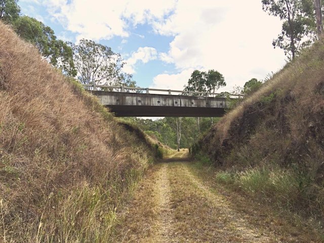
Borallon Station Road to Fernvale - Part of BVRT
This is a nice part of the BVRT, the scenery changes quite a bit along the walk, bush track to farm land to open pasture looking out to the mountains. You'll need to do a quick crossing of the Brisbane Valley Highway, easy, but just keep your wits about you. Along the way you'll pass Wanora and Fairney View stations. Just after Fairney View is a lovely little creek where a bridge once crossed, a nice spot for a break. After this there is the slightest of inclines, but that incline continues all the way to Fernvale. But once there you've got a great excuse for a pie!
14
km
one-way
4.5
hrs
BVRT - Coominya to Mt Hallen
Part of the Brisbane Valley Rail Trail. A great section for bird watching.
24.5
km
one-way
6
hrs
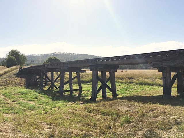
Coominya to Esk - Part of BVRT
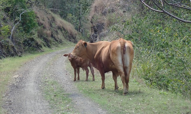
This walk is part of the Brisbane Valley Rail Trail, starts and finishes at the railway station. Coominya and Esk are small towns but have all services. Several large and impressive rail bridges along the track but not accessible, a lower river crossing. The walk passes through farm lands but mainly bush walking so plenty of gates to open and shut but not a walk to complete in Summer months. The trail is well marked so maps are not required. Coominya is accessible after a turnoff on the Brisbane Valley Highway. Public amenities and car parking at both ends of the walk but no public amenities on the track. No permits or costs for the walk.
 9
km
one-way
2.5
hrs
9
km
one-way
2.5
hrs
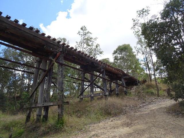
Diamantina Boulevard to Borallon Station Road - Part of BVRT
10kms easy walking along the old Brisbane Valley Rail Trail. Passing old stations (or where they used to be, signs have been erected) of Muirlea, Pine Mountain and Borallon. Great for birdwatching. I would recommend for a winter walk - dappled shade, but would get very hot very quickly in summer.
11
km
one-way
3
hrs
Esk to Ottaba - Part of BVRT
Approximately 11kms along the Brisbane Valley Rail Trail. Very exposed, but pleasant walking.
19
km
one-way
5
hrs
Esk to Toogoolawah - Part of BVRT
The 19 kilometre Esk to Toogoolawah section of the Brisbane Valley Rail Trail is northwest of Brisbane along the Warrego and Brisbane Valley Highways. This section of the trail travels adjacent to Camp Creek and crosses Cressbrook Creek, a tributary of the Brisbane River, at Toogoolawah. The trail extends through farmland including lucerne, other pasture and small crops that are important to the local economy.
On trail signage indicates classifications between Esk and Toogoolawah. The distance and lack of trail facilities make this section suitable for people with a moderate to high fitness level. There are no drinking water or toilet facilities between Esk and Toogoolawah. Sufficient water must be carried.
 8
km
one-way
2
hrs
8
km
one-way
2
hrs
Fernvale to Lowood - Part of BVRT
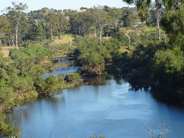
For the most part this section of the walk follows beside the Brisbane Valley Highway ie it gets noisy and there really isn't much in the way of shade at all. However, the views are nice looking out towards to the mountains and onto Lowood. Heading in to Lowood you'll meet up with a bend in the Brisbane river with some lovely views downstream, and a large colony of bats making home in the trees. Arriving into Lowood, you'll be rewarded with the first section of actual railway for the trail; Lowood was the original terminus for the BVRT. Lowood has a pub, bakery and nice cafes for refreshments.
 23
km
one-way
6
hrs
23
km
one-way
6
hrs
Wulkaraka to Fernvale - Part of BVRT
I rode this but you are certainly allowed to walk it. A fun and enjoyable ride from Wulkaraka station to Fernvale. Look forward to a delicious thick shake and a pie at the renowned Fernvale bakery! The track is mostly flat and easy to follow. A couple of road crossings.
 4
km
one-way
1
hr
4
km
one-way
1
hr
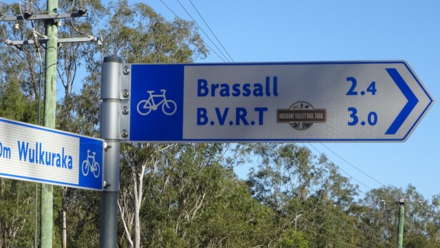
Wulkuraka Station to Diamantina Boulevard - Part of BVRT
This first part of the BVRT (Brisbane Valley Rail Trail) is only 3.8kms of very easy walking along paved pathways between residential and bushland. As the name suggests this is along the old Brisbane Valley Railway, the whole trail is approximately 161kms finishing in Yarraman.