
Menu
Popular Walks
-
Mt Ngungun
(1151 ticks) -
Mount Coolum
(869 ticks) -
Mt Cordeaux
(665 ticks) -
Twin Falls Circuit
(635 ticks) -
Purling Brook Falls Circuit
(610 ticks)
Parent Regions
Sub-Regions
- Amamoor State Forest
- Bellthorpe National Park
- Brisbane City Council Local Walks
- Brisbane Forest park D'Aguilar National Park
- Brisbane Valley Rail Trail
- Coombabah Lakelands Conservation Area
- Daisy Hill Conservation Park
- Eumundi Conservation Park
- Glass House Mountains National Park
- Glen Rock Regional Park
- Gold Coast
- Ipswich
- Jimna State Forest
- Karawatha Forest
- Kondalilla National Park
- Lamington National Park
- Main Range National Park
- Mapleton National Park
- Moggill Conservation Park
- Moogerah Peaks National Park
- Moreton Island National Park
- Mt Barney National Park
- North Stradbroke Island - Minjeeribah
- Parklands Conservation Park
- Springbrook National Park
- Sunshine Coast
- Tamborine National Park
- White Rock - Spring Mountain Conservation Estate
Summary
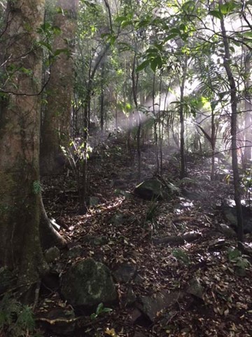
Boarding NSW and the pacific Ocean, it is not uncommon for hikes to have views of both worlds (ocean and hinterland). Hikes here are typically on the great dividing range.
Popular Walks
-
Mt Ngungun
(1151 ticks) -
Mount Coolum
(869 ticks) -
Mt Cordeaux
(665 ticks) -
Twin Falls Circuit
(635 ticks) -
Purling Brook Falls Circuit
(610 ticks)
Parent Regions
Sub-Regions
- Amamoor State Forest
- Bellthorpe National Park
- Brisbane City Council Local Walks
- Brisbane Forest park D'Aguilar National Park
- Brisbane Valley Rail Trail
- Coombabah Lakelands Conservation Area
- Daisy Hill Conservation Park
- Eumundi Conservation Park
- Glass House Mountains National Park
- Glen Rock Regional Park
- Gold Coast
- Ipswich
- Jimna State Forest
- Karawatha Forest
- Kondalilla National Park
- Lamington National Park
- Main Range National Park
- Mapleton National Park
- Moggill Conservation Park
- Moogerah Peaks National Park
- Moreton Island National Park
- Mt Barney National Park
- North Stradbroke Island - Minjeeribah
- Parklands Conservation Park
- Springbrook National Park
- Sunshine Coast
- Tamborine National Park
- White Rock - Spring Mountain Conservation Estate
History
Any interesting history for the region?
Features
What are the standout bushwalking features?
Access
How do you get there? Include all access points if there are many?
Maps
Which maps cover the region?
Accommodation
Where can I stay there? or near there?
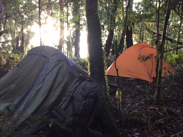
Camping
Council Areas:
- Scenic Rim Regional
- Gold Coast City
- Logan City
- Redland City
- Ipswich City
- Lockyer Valley Regional
- Brisbane City
- Somerset Regional
- Moreton Bay Regional
- Sunshine Coast Regional
- Noosa Shire
Contact details
See Qld National parks website
Walks in Main Range National Park

 40
m
return
40
m
return
 15
mins
15
mins
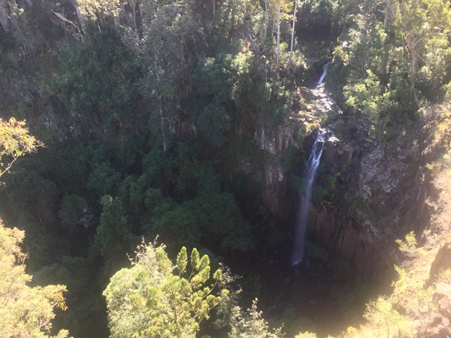
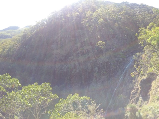
Daggs Falls Lookout
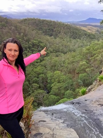
Daggs Falls on Spring Creek makes a dramatic 38m drop as you watch from the lookout above.
 1.2
km
return
30
mins
1.2
km
return
30
mins
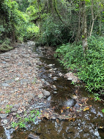
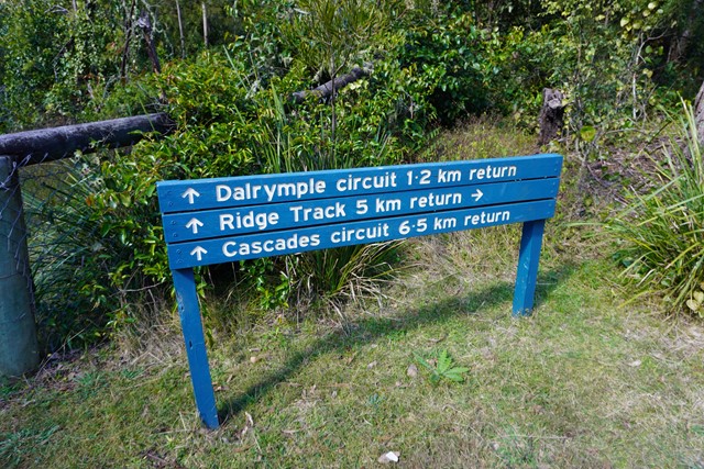
Dalrymple Circuit
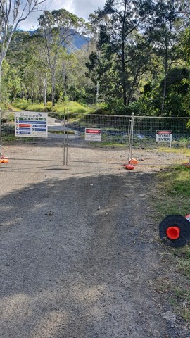
THIS WALK (SEPTEMBER 2025) IS CURRENTLY CLOSED DUE TO STORM DAMAGED.
A short easy walk from the Manna Gum camping area in the Goomburra section of the Main Range National Park.
 9.5
km
return
3.5
hrs
9.5
km
return
3.5
hrs
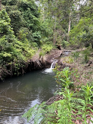
Gap Creek Falls
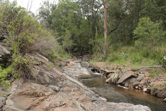
This is a moderately strenuous walk, with good views and a nice creek to paddle in.
 300
m
return
15
mins
300
m
return
15
mins
Governors Chair Lookout
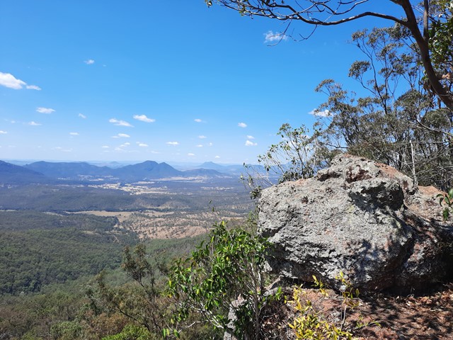
Magnificent views out over the Fassifern Valley.
Take a seat in the large rock at the edge which was popular resting spot for early governors on their journeys over the range at Spicers Gap.
Be careful as it is a sheer cliff edge.
 3.2
km
return
1
hr
3.2
km
return
1
hr
Heritage trail
From the Governors Chair car park an interesting self-guiding walk, showing various road construction methods, follows the historic road.
 12.4
km
8
hrs
12.4
km
8
hrs
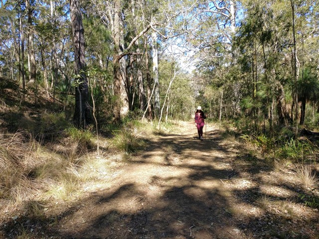
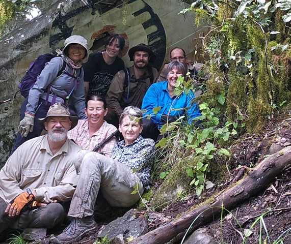
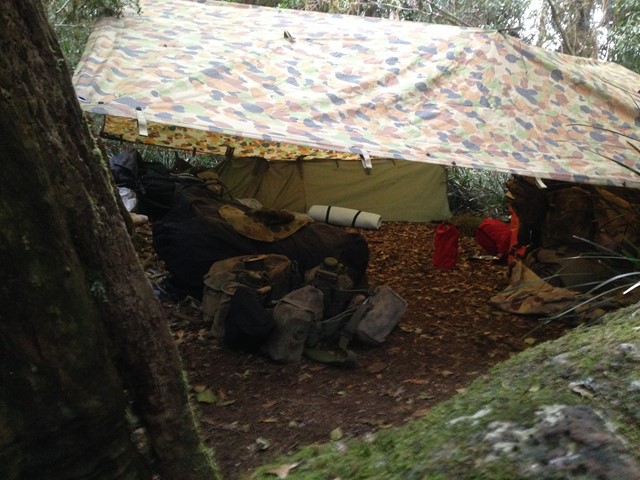
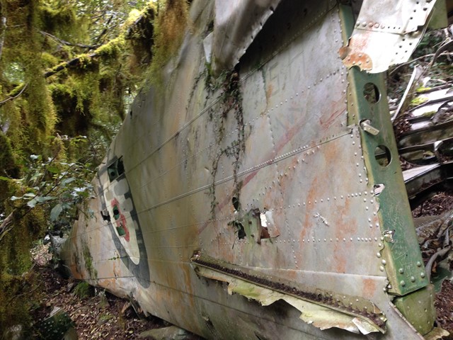
Lincoln Wreck Circuit
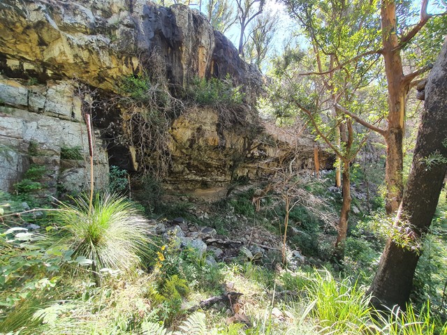
A very tough and steep, almost trackless walk to the summit of South-East Queensland's tallest mountain with a stop by the wreck of a plane from 1955.
 120
m
return
10
mins
120
m
return
10
mins
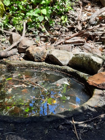
Moss's Well
Moss's Well, in tall open forest, is a haven for many species of birds. The well is believed to take its name from Edward Moss, the first road contractor. This was the only water for travellers and their teams making their way over the range. The well water is now unsuitable for drinking.
 10
km
return
3
hrs
10
km
return
3
hrs
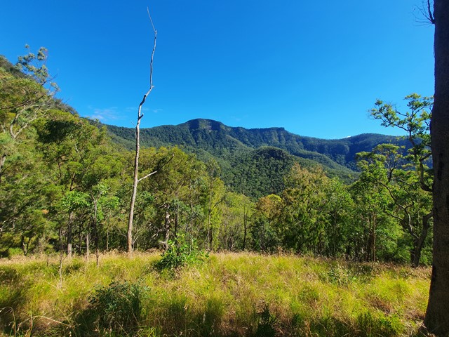
Mount Superbus
It may not provide any views from the summit, but at 1,375m above sea level Mount Superbus is the highest mountain in southern Queensland. By virtue of that fact, it's a must for any local peakbaggers.
 14
km
return
7
hrs
14
km
return
7
hrs
Mt Bangalore
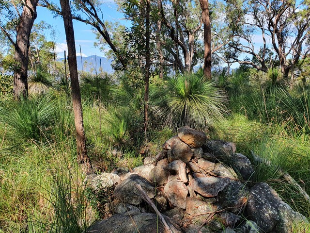
An off track adventure up a mountain that barley anyone has heard of and even fewer have attempted. Navigation skills are a must, be prepared to spend copious amounts of time in long grass and spider webs.