
Menu
Popular Walks
-
Mt Ngungun
(1151 ticks) -
Mount Coolum
(869 ticks) -
Mt Cordeaux
(665 ticks) -
Twin Falls Circuit
(635 ticks) -
Purling Brook Falls Circuit
(610 ticks)
Parent Regions
Sub-Regions
- Amamoor State Forest
- Bellthorpe National Park
- Brisbane City Council Local Walks
- Brisbane Forest park D'Aguilar National Park
- Brisbane Valley Rail Trail
- Coombabah Lakelands Conservation Area
- Daisy Hill Conservation Park
- Eumundi Conservation Park
- Glass House Mountains National Park
- Glen Rock Regional Park
- Gold Coast
- Ipswich
- Jimna State Forest
- Karawatha Forest
- Kondalilla National Park
- Lamington National Park
- Main Range National Park
- Mapleton National Park
- Moggill Conservation Park
- Moogerah Peaks National Park
- Moreton Island National Park
- Mt Barney National Park
- North Stradbroke Island - Minjeeribah
- Parklands Conservation Park
- Springbrook National Park
- Sunshine Coast
- Tamborine National Park
- White Rock - Spring Mountain Conservation Estate
Summary
Boarding NSW and the pacific Ocean, it is not uncommon for hikes to have views of both worlds (ocean and hinterland). Hikes here are typically on the great dividing range.
Popular Walks
-
Mt Ngungun
(1151 ticks) -
Mount Coolum
(869 ticks) -
Mt Cordeaux
(665 ticks) -
Twin Falls Circuit
(635 ticks) -
Purling Brook Falls Circuit
(610 ticks)
Parent Regions
Sub-Regions
- Amamoor State Forest
- Bellthorpe National Park
- Brisbane City Council Local Walks
- Brisbane Forest park D'Aguilar National Park
- Brisbane Valley Rail Trail
- Coombabah Lakelands Conservation Area
- Daisy Hill Conservation Park
- Eumundi Conservation Park
- Glass House Mountains National Park
- Glen Rock Regional Park
- Gold Coast
- Ipswich
- Jimna State Forest
- Karawatha Forest
- Kondalilla National Park
- Lamington National Park
- Main Range National Park
- Mapleton National Park
- Moggill Conservation Park
- Moogerah Peaks National Park
- Moreton Island National Park
- Mt Barney National Park
- North Stradbroke Island - Minjeeribah
- Parklands Conservation Park
- Springbrook National Park
- Sunshine Coast
- Tamborine National Park
- White Rock - Spring Mountain Conservation Estate
History
Any interesting history for the region?
Features
What are the standout bushwalking features?
Access
How do you get there? Include all access points if there are many?
Maps
Which maps cover the region?
Accommodation
Where can I stay there? or near there?
Camping
Council Areas:
- Scenic Rim Regional
- Gold Coast City
- Logan City
- Redland City
- Ipswich City
- Lockyer Valley Regional
- Brisbane City
- Somerset Regional
- Moreton Bay Regional
- Sunshine Coast Regional
- Noosa Shire
Contact details
See Qld National parks website
Walks in Sunshine Coast

 500
m
return
500
m
return
 20
mins
20
mins
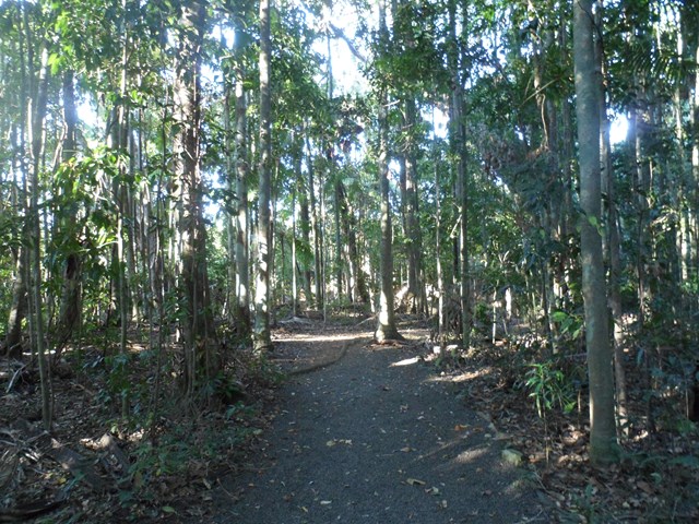
Mooloolah River Circuit
This is part of the Jowarra Section of the Mooloolaha River a separate section of this park to be accessed via the Steve Irwin Way off the Bruce Hwy ( caloundra off ramp ) turn right at traffic lights into the Information Centre Car park ( there's also Daisy's Restaurant ) in the middle of the car park you will find the entrance of park leading to both walks.
 2.6
km
return
90
mins
2.6
km
return
90
mins
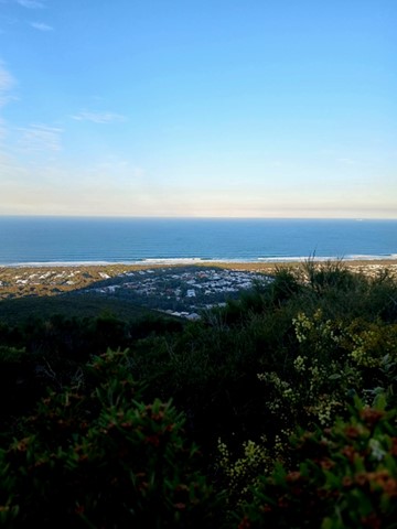
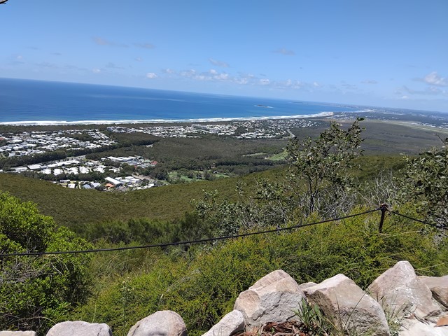
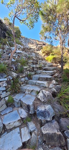
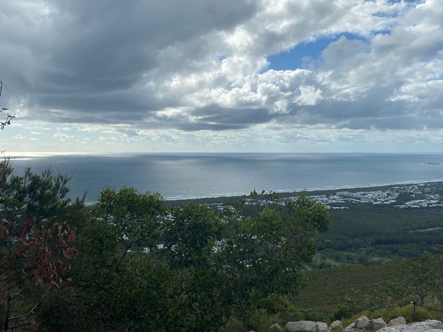
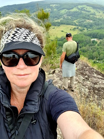
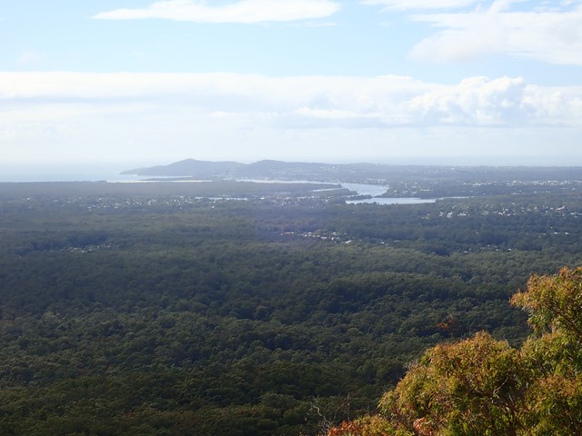
Mount Coolum
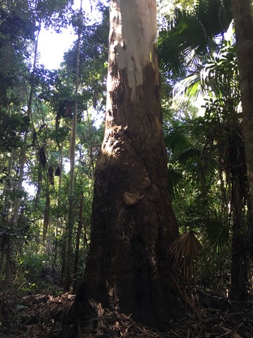
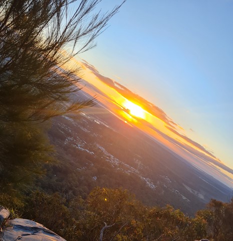
Enjoy a steep trek to the summit of one of the Sunshine Coast’s ancient volcanic domes. Created about 26 million years ago, Mount Coolum is a laccolith, formed when a dome-shaped bulge of magma cooled below the Earth’s surface.
Spectacular coastal views, rare and threatened plants, wildflowers, bird life and geology feature here.
 1.6
km
return
90
mins
1.6
km
return
90
mins
Mount Coolum Powerline Track
An alternative, more challenging route to the summit, located on the north-western ridge, accessible from the northern end of South Coolum Road.
 3
km
return
2
hrs
3
km
return
2
hrs
Mount Cooroy
Mount Cooroy is 438m high and provides great views around the Sunshine Coast. Access to the mountain is through private property and public access is only available once a year at the Cooroy Mountain Spring Festival. The festival was held in August.
Please respect the private property and do not access without permission.
Two great lookouts at the top.
 1.3
km
return
1
hr
1.3
km
return
1
hr
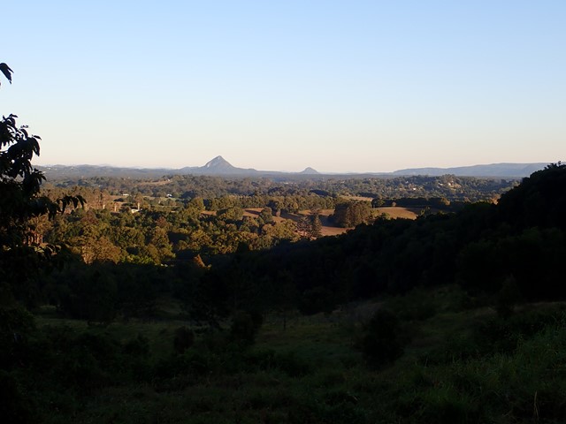
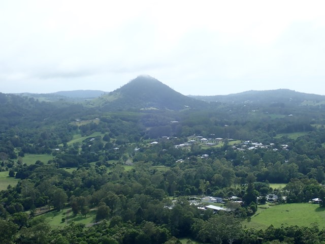
Mt Cooran
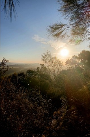
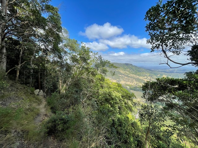
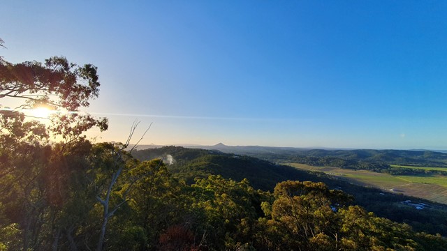
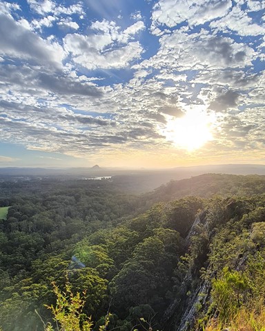
A lesser known peak, just north of Mt Cooroora, Mt Cooran hosts exceptional 360° views; Sunshine Coast, Blackall Range, Gympie and Woondum National Park to the north and east to the coast.
 2.6
km
return
2.5
hrs
2.6
km
return
2.5
hrs
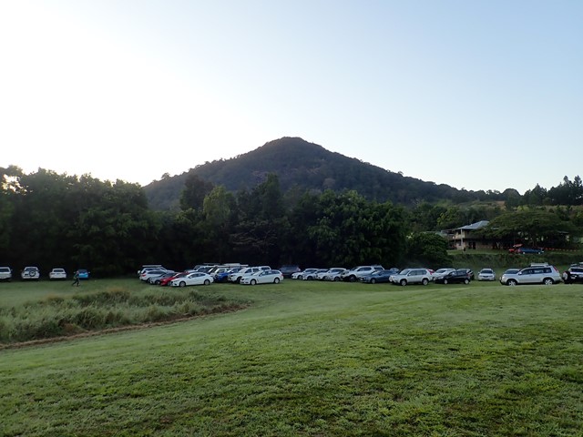
Mt Cooroora
Become your own 'King of the Mountain'.
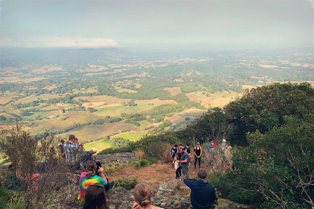
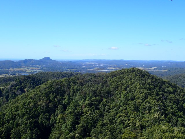
Mt Cooroora at 446m (Tuchekoi National Park), is probably the most famous of the Sunshine Coast climbs, due to the King of the Mountain race held annually in July since 1979. The fact that it is a race from the pub in town, and the best time is 22:43, gives you the false impression that this might be quite an easy climb, but you would be wrong!
Take time out as you climb to enjoy the stunning views south across the Sunshine Coast and the 360° vista from the top.
 2.8
km
return
3
hrs
2.8
km
return
3
hrs
Mt Eerwah
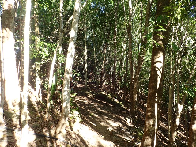
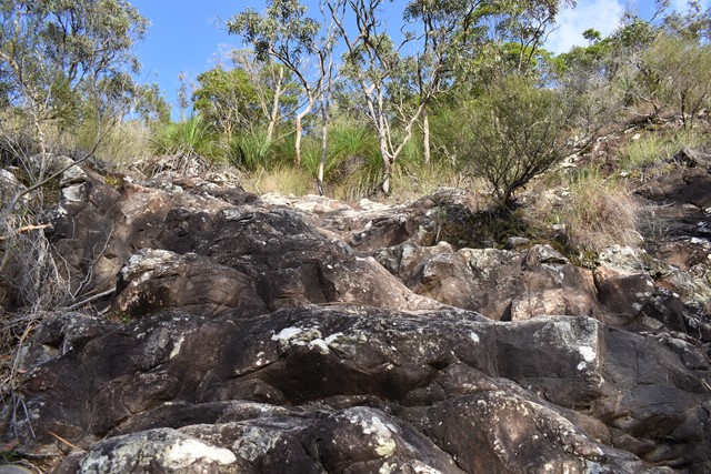
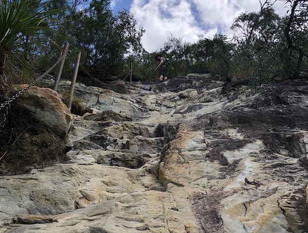
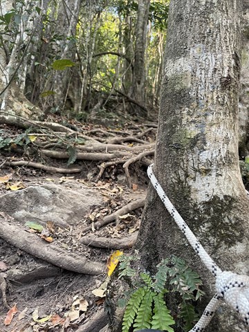
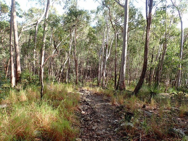
This is a seldom but fun mountain to climb and in places only has a faint trail to the top. Views from there are in a westerly direction and whilst spectacular, the views to the east across the coastal plain, would have been even better, but for the scrub and trees.
It's a steep and loose track, definitely not suited for those with balance issues, smaller children, etc. A section near the top has eroded/wasted away, leaving a significant drop off - be careful!
The track is very clear.
 3.3
km
return
90
mins
3.3
km
return
90
mins
Mt Ninderry
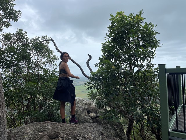
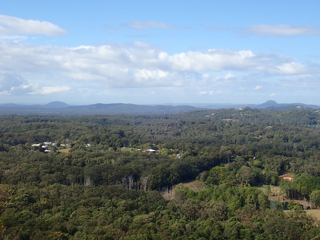
A pleasant walk following a stepped track to a large plateau with two viewing platforms. One covers the west, overlooking Yandina and the Blackall Range, the other is to the east overlooking Mt Coolum.
 1
km
return
45
mins
1
km
return
45
mins
Mt Tinbeerwah
An easy walk to the fire tower, which provides wonderful 360° views from the north of the Sunshine Coast.
 7.3
km
return
2.5
hrs
7.3
km
return
2.5
hrs
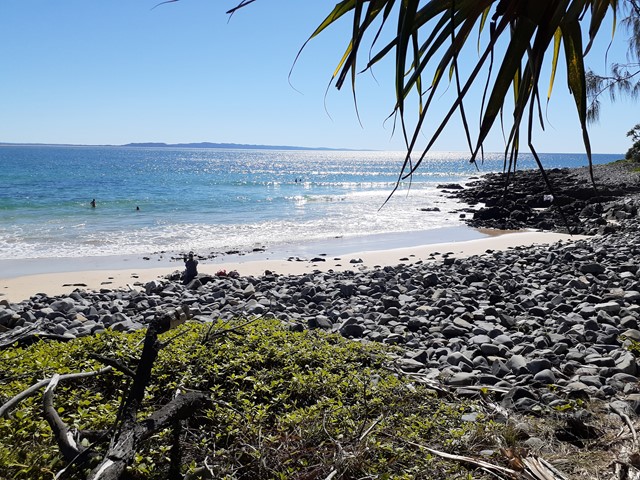
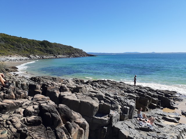
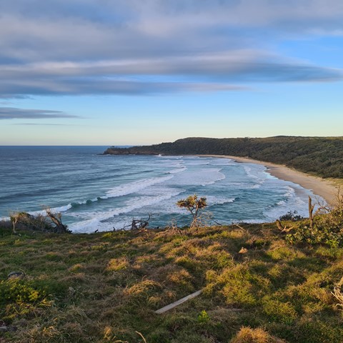
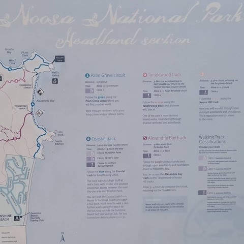
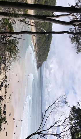
Noosa Headland Circuit
This walk follows several shorter tracks to explore the diverse terrain and vegetation surrounding the headland. The walk visits Hells Gates spectacular coastal lookout.