
Menu
Popular Walks
-
Mt Ngungun
(1151 ticks) -
Mount Coolum
(869 ticks) -
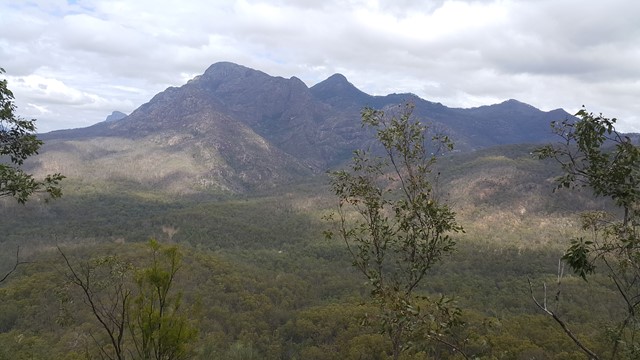
Mt Cordeaux
(665 ticks) -
Twin Falls Circuit
(635 ticks) -
Purling Brook Falls Circuit
(610 ticks)
Parent Regions
Sub-Regions
- Amamoor State Forest
- Bellthorpe National Park
- Brisbane City Council Local Walks
- Brisbane Forest park D'Aguilar National Park
- Brisbane Valley Rail Trail
- Coombabah Lakelands Conservation Area
- Daisy Hill Conservation Park
- Eumundi Conservation Park
- Glass House Mountains National Park
- Glen Rock Regional Park
- Gold Coast
- Ipswich
- Jimna State Forest
- Karawatha Forest
- Kondalilla National Park
- Lamington National Park
- Main Range National Park
- Mapleton National Park
- Moggill Conservation Park
- Moogerah Peaks National Park
- Moreton Island National Park
- Mt Barney National Park
- North Stradbroke Island - Minjeeribah
- Parklands Conservation Park
- Springbrook National Park
- Sunshine Coast
- Tamborine National Park
- White Rock - Spring Mountain Conservation Estate
Summary
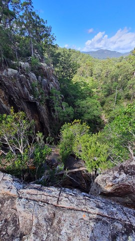
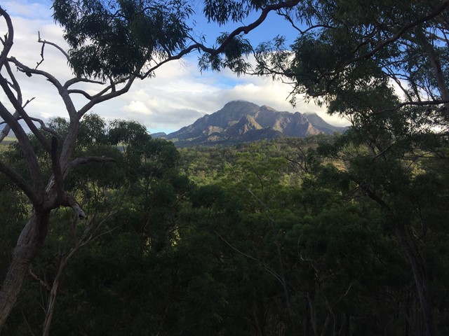
Boarding NSW and the pacific Ocean, it is not uncommon for hikes to have views of both worlds (ocean and hinterland). Hikes here are typically on the great dividing range.
Popular Walks
-
Mt Ngungun
(1151 ticks) -
Mount Coolum
(869 ticks) -
Mt Cordeaux
(665 ticks) -
Twin Falls Circuit
(635 ticks) -
Purling Brook Falls Circuit
(610 ticks)
Parent Regions
Sub-Regions
- Amamoor State Forest
- Bellthorpe National Park
- Brisbane City Council Local Walks
- Brisbane Forest park D'Aguilar National Park
- Brisbane Valley Rail Trail
- Coombabah Lakelands Conservation Area
- Daisy Hill Conservation Park
- Eumundi Conservation Park
- Glass House Mountains National Park
- Glen Rock Regional Park
- Gold Coast
- Ipswich
- Jimna State Forest
- Karawatha Forest
- Kondalilla National Park
- Lamington National Park
- Main Range National Park
- Mapleton National Park
- Moggill Conservation Park
- Moogerah Peaks National Park
- Moreton Island National Park
- Mt Barney National Park
- North Stradbroke Island - Minjeeribah
- Parklands Conservation Park
- Springbrook National Park
- Sunshine Coast
- Tamborine National Park
- White Rock - Spring Mountain Conservation Estate
History
Any interesting history for the region?
Features
What are the standout bushwalking features?
Access
How do you get there? Include all access points if there are many?
Maps
Which maps cover the region?
Accommodation
Where can I stay there? or near there?
Camping
Council Areas:
- Scenic Rim Regional
- Gold Coast City
- Logan City
- Redland City
- Ipswich City
- Lockyer Valley Regional
- Brisbane City
- Somerset Regional
- Moreton Bay Regional
- Sunshine Coast Regional
- Noosa Shire
Contact details
See Qld National parks website
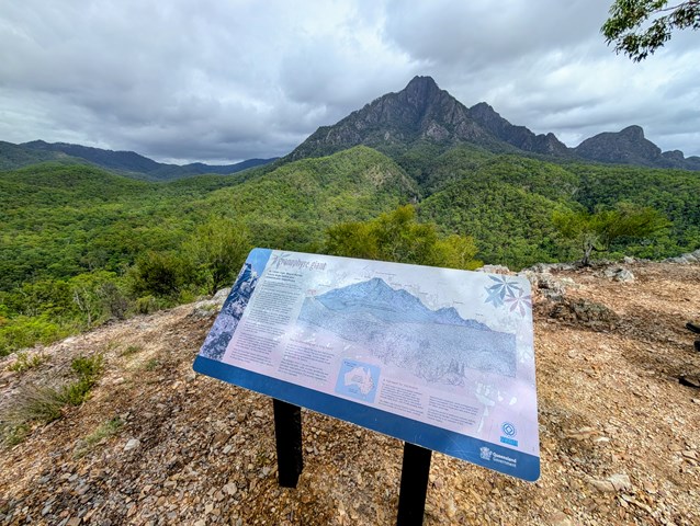
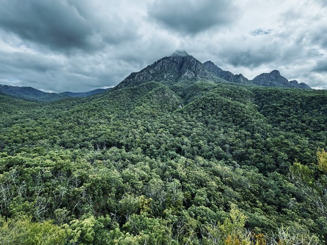
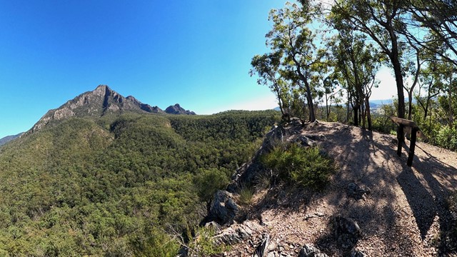
Walks in Mt Barney National Park

 10
km
one-way
10
km
one-way
 6
hrs
6
hrs
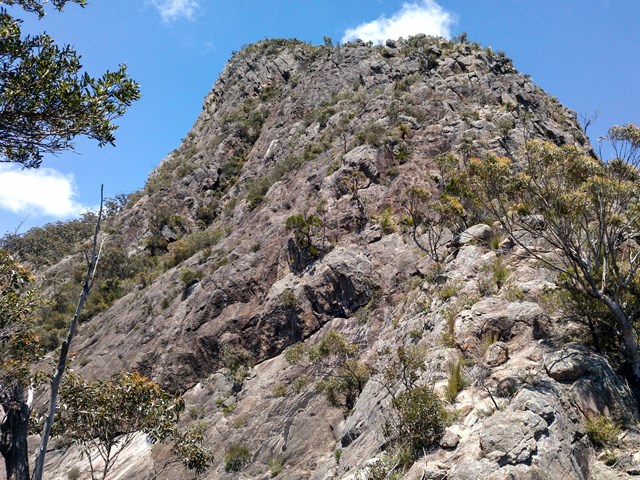
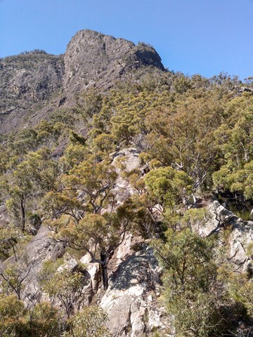
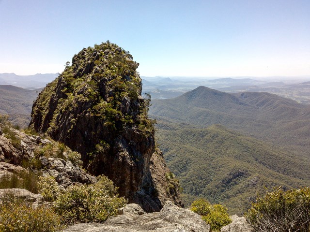
Mt. Barney - Short Leaning Ridge
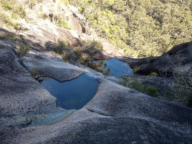
The ridge from Barney waterfall leading to Leaning Peak. One of the hardest bushwalk in the area. A rope is mandatory to abseil of the peak. A rewarding climb.
 4.8
km
return
3
hrs
4.8
km
return
3
hrs
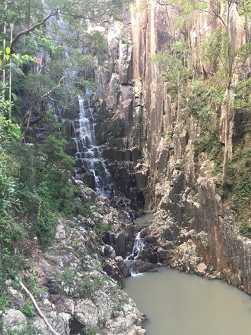
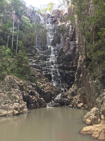
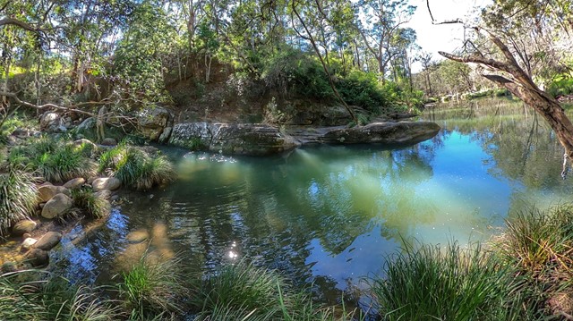
Paddy's Falls
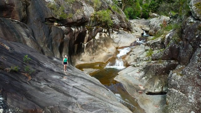
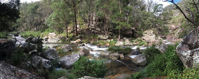
Also known as Golden Staircase Falls for the so named nearby fire trail. Follows the fire trail before a rock hop up the creek to the falls then you can return the way you came or scramble out of the gully up to the fire trail and use it to go all the way back.
 8
km
return
3.5
hrs
8
km
return
3.5
hrs
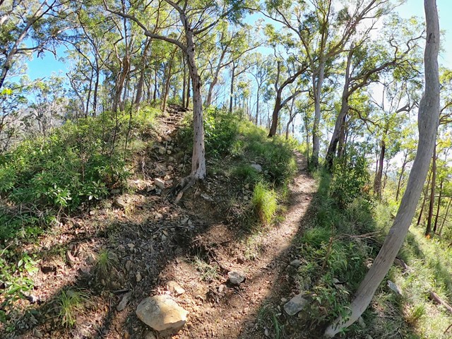
Paddy's Peak
A reasonably straight forward walk up a lesser known peak nestled between Mt Barney, Mt Maroon and Mt May.
 8
km
3.5
hrs
8
km
3.5
hrs
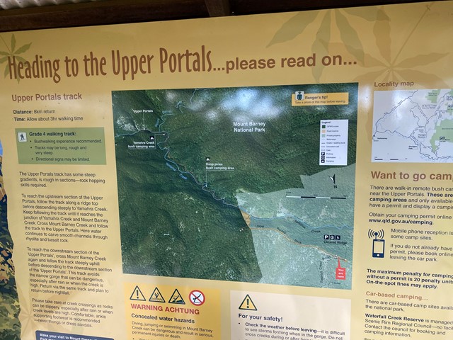
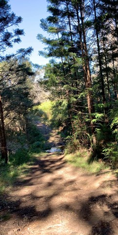
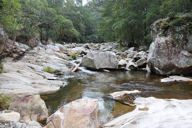
Upper Portals
Easy navigation but with a steep hill. A 4WD or at the very least a high clearance vehicle is required to make it up the road. It is rough going in 1st gear with a few extended steep/rough stretches.
 2.1
km
return
1
hr
2.1
km
return
1
hr
Yellow Pinch Summit
Follow a trail all the way to the summit where you will find great views of Mount Barney. Recommend early morning walk. Great walk for those camping for a few days in the National Park or surrounding camping sites and resorts.
 5.2
km
return
90
mins
5.2
km
return
90
mins
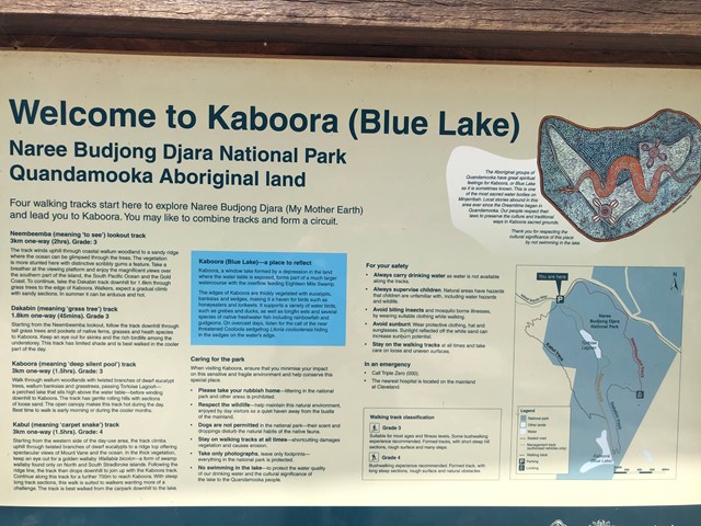
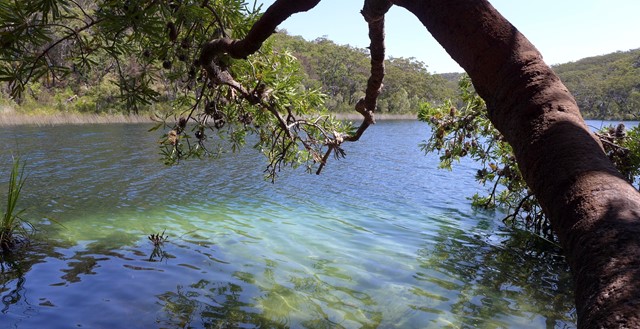
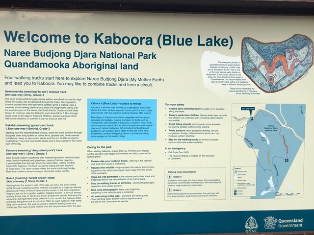
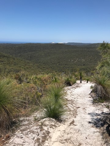
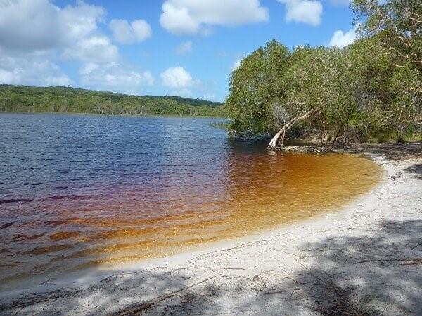
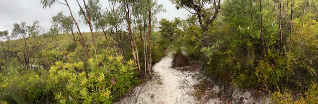
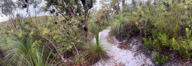
Blue Lake (Kaboora Track)
Walk through banksias, grasstrees and eucalypt on your way to Kaboora/Blue Lake. Pass Tortoise Lagoon on the way to this jewel of the island.
 8.4
km
return
2.5
hrs
8.4
km
return
2.5
hrs
Dunwich to Brown Lake
A walk from the Dunwich to the Brown Lake that mostly follows the road.
 3.2
km
one-way
2
hrs
3.2
km
one-way
2
hrs
Mount Bippo Penbean
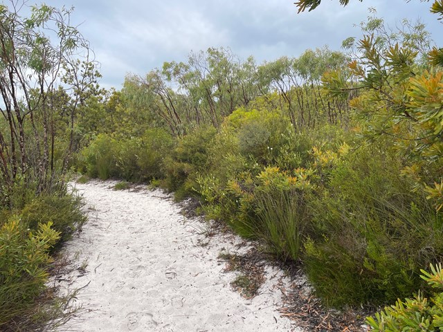
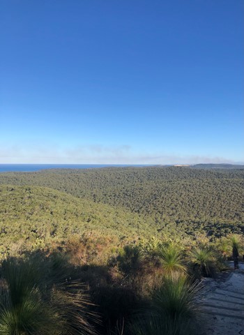
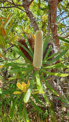
This is a relatively easy track on sand, although the last section up to the top of the viewing platform is quite steep and will get the heart rate up. It provides a good view over the National Park parts of the island and out towards the bay. Apparently on very clear days you can also see to NSW, the Sunshine coast and the Border Ranges. There are lots of banksias and grasstrees. Recommend that people do this in the early morning or late afternoon. Those scared of spiders should avoid as there are lots of spider webs across the pathway and it is difficult to see them in some light.
Signs say to allow 2 hours return. I completed this in 1 hour 35 minutes with a moderate fitness level.
This is pronounced Bib-boo bee-yan, meaning mountainous country in Jandai language (Quandamooka)
 8
km
return
3
hrs
8
km
return
3
hrs
Mount Vane (Jarlo Beetle Track)
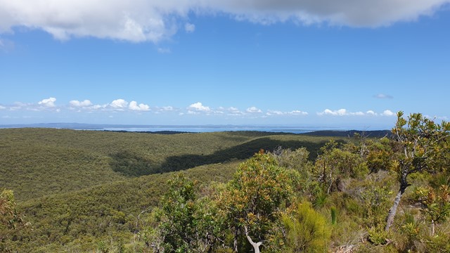
The Mount Vane walking track on Minjerribah is Straddie’s latest visitor attraction. Recent completion of the track has allowed keen bush walkers to enjoy 360-degree views of Moreton Bay and Quandamooka Country from a lookout atop one of Minjerribah’s highest peaks.
Constructed by Minjerribah’s Traditional Owners, the Quandamooka People, the new walk joins two existing walks within Naree Budjong Djara (My Mother Earth) National Park to create a 10 kilometre network of trails. This offers walkers a half day of trekking to special sights like Karboora (Deep Silent Pool, also known as Blue Lake) and a number of peaks with sweeping views over 18 Mile Swamp to the Gold Coast.
 1.5
km
return
45
mins
1.5
km
return
45
mins
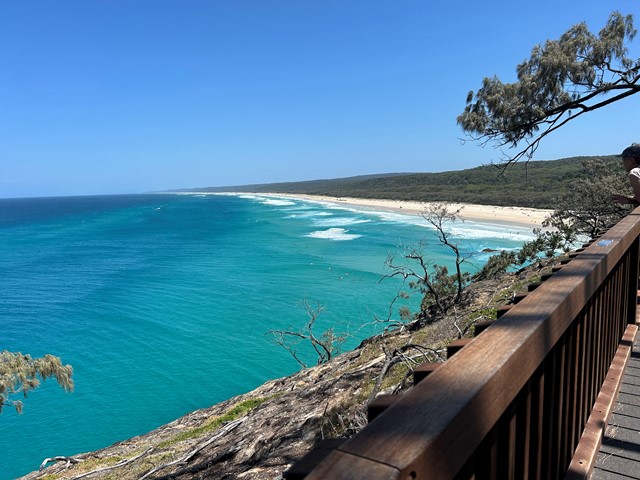
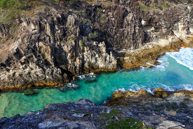
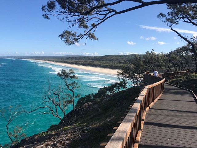
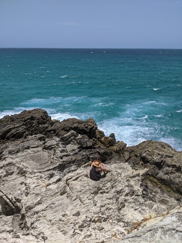
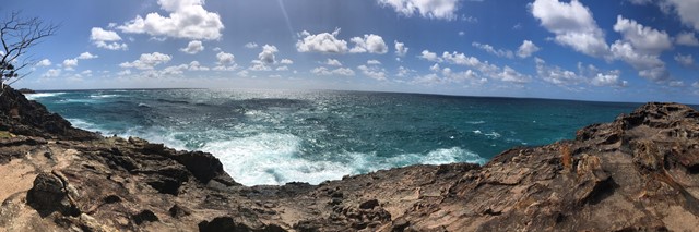
North Gorge Walk (Point Lookout)
Straddie’s impressive headland walk called the North Gorge walk is located at the north western end of Point Lookout and is the best vantage point on the island to watch the whales and marine life pass right before your eyes.
The walk encompasses the best of both worlds, with its raw and jagged headland to one side, and natural bushland on the other. Known for its best viewing experience of migrating humpback whales, the Gorge Walk also has a unique rock formation called the ‘Blow Hole’, similar to that of a humpback whale. The Gorge Walk is a North Stradbroke Island icon and reveals just how pristine and unspoiled the island truly is.
Access to the Gorge Walk is on Moloomba Road at Point Lookout, opposite Fishes Cafe and the Oceanic Gelati Shop.