
Menu
Popular Walks
-
Mt Ngungun
(1151 ticks) -
Mount Coolum
(869 ticks) -
Mt Cordeaux
(665 ticks) -
Twin Falls Circuit
(635 ticks) -
Purling Brook Falls Circuit
(610 ticks)
Parent Regions
Sub-Regions
- Amamoor State Forest
- Bellthorpe National Park
- Brisbane City Council Local Walks
- Brisbane Forest park D'Aguilar National Park
- Brisbane Valley Rail Trail
- Coombabah Lakelands Conservation Area
- Daisy Hill Conservation Park
- Eumundi Conservation Park
- Glass House Mountains National Park
- Glen Rock Regional Park
- Gold Coast
- Ipswich
- Jimna State Forest
- Karawatha Forest
- Kondalilla National Park
- Lamington National Park
- Main Range National Park
- Mapleton National Park
- Moggill Conservation Park
- Moogerah Peaks National Park
- Moreton Island National Park
- Mt Barney National Park
- North Stradbroke Island - Minjeeribah
- Parklands Conservation Park
- Springbrook National Park
- Sunshine Coast
- Tamborine National Park
- White Rock - Spring Mountain Conservation Estate
Summary
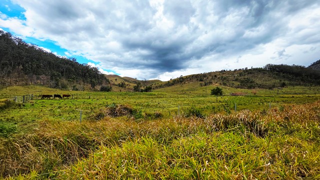
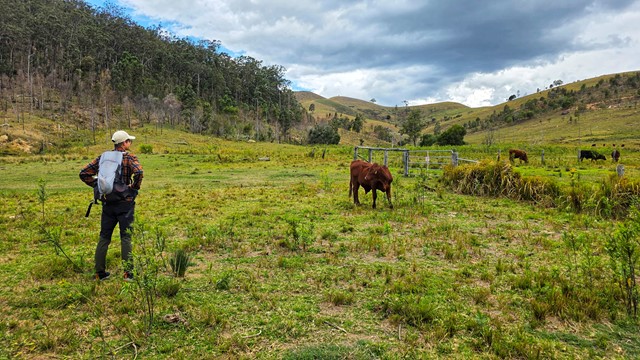
Boarding NSW and the pacific Ocean, it is not uncommon for hikes to have views of both worlds (ocean and hinterland). Hikes here are typically on the great dividing range.
Popular Walks
-
Mt Ngungun
(1151 ticks) -
Mount Coolum
(869 ticks) -
Mt Cordeaux
(665 ticks) -
Twin Falls Circuit
(635 ticks) -
Purling Brook Falls Circuit
(610 ticks)
Parent Regions
Sub-Regions
- Amamoor State Forest
- Bellthorpe National Park
- Brisbane City Council Local Walks
- Brisbane Forest park D'Aguilar National Park
- Brisbane Valley Rail Trail
- Coombabah Lakelands Conservation Area
- Daisy Hill Conservation Park
- Eumundi Conservation Park
- Glass House Mountains National Park
- Glen Rock Regional Park
- Gold Coast
- Ipswich
- Jimna State Forest
- Karawatha Forest
- Kondalilla National Park
- Lamington National Park
- Main Range National Park
- Mapleton National Park
- Moggill Conservation Park
- Moogerah Peaks National Park
- Moreton Island National Park
- Mt Barney National Park
- North Stradbroke Island - Minjeeribah
- Parklands Conservation Park
- Springbrook National Park
- Sunshine Coast
- Tamborine National Park
- White Rock - Spring Mountain Conservation Estate
History
Any interesting history for the region?
Features
What are the standout bushwalking features?
Access
How do you get there? Include all access points if there are many?
Maps
Which maps cover the region?
Accommodation
Where can I stay there? or near there?
Camping
Council Areas:
- Scenic Rim Regional
- Gold Coast City
- Logan City
- Redland City
- Ipswich City
- Lockyer Valley Regional
- Brisbane City
- Somerset Regional
- Moreton Bay Regional
- Sunshine Coast Regional
- Noosa Shire
Contact details
See Qld National parks website
Walks in Moreton Island National Park

 50
km
one-way
50
km
one-way
 3
days
3
days
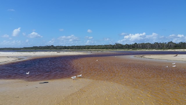
Sandy Dandy Hike
This is a shorter version of the other submitted walk on this island (Moreton Island Traverse).
If you want to see beautiful beaches, lovely lagoons, capacious capes, comfy camps and to fill every crevice on your body with sand then this walk is for you!
This walk will take you to Moreton Island's beaches, camp sites, lighthouse, inland trails, Mt Tempest, blue lagoon, the wrecks and Tangalooma Resort.
 1
km
return
45
mins
1
km
return
45
mins
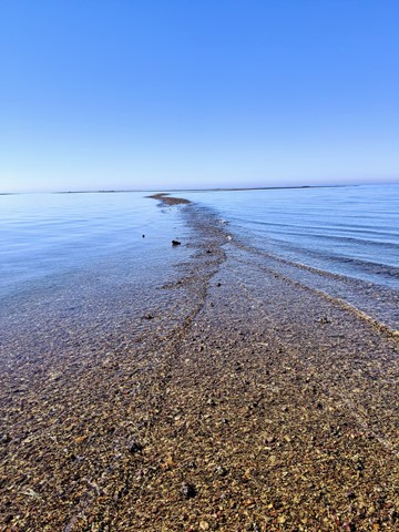
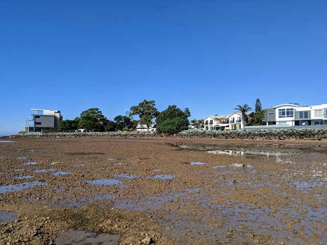
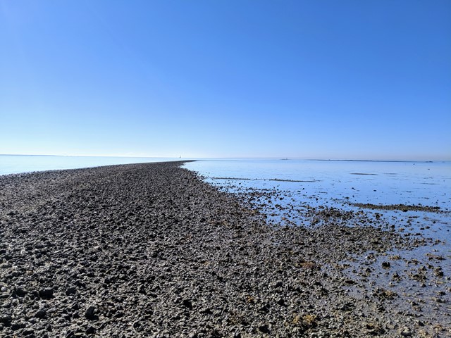
Scarborough Point Low Tide
A short 1km return walk over the mud flat & rocks at Scarborough Point, starting from Tingira Park. At low tide the rocks form a roughly 2m wide path out to a big rocky outcrop in the bay, there's often people fishing or fossicking here. At high tide the entire path and outcrop go underwater.
 8.7
km
one-way
2.5
hrs
8.7
km
one-way
2.5
hrs
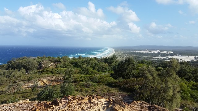
Telegraph Track
Park at Mt Tempest. Listed as a 4-6 hour return hike but i completed it in 2.5 hours as a fit solo walker.
All sand being located on Moreton Island and you certainly work the calves as a result! Some elevation but nothing major. Some good views to the Pacific Ocean when your high enogh on some of the climbs.
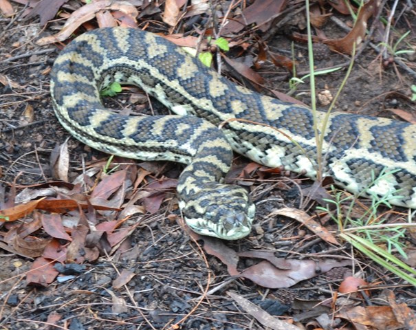
Great walk full of birds and lizards running around the place with no sight of snakes the day I walked. Good thing to do when tour living on the island 🌴
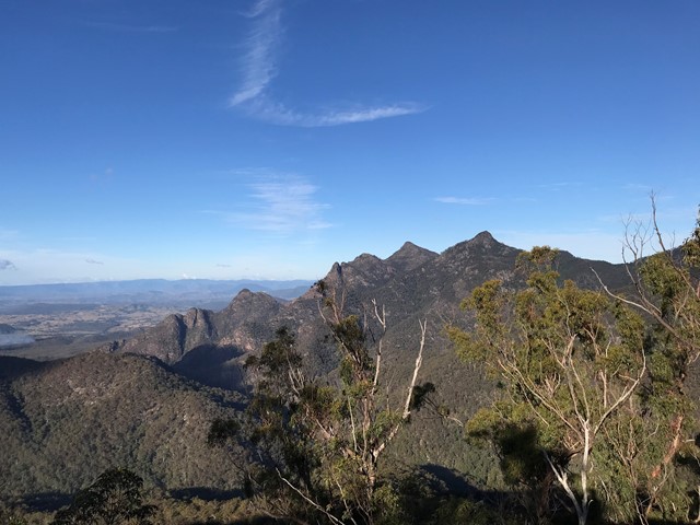
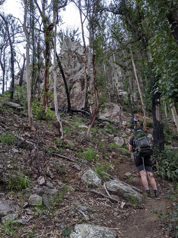
Walks in Mt Barney National Park

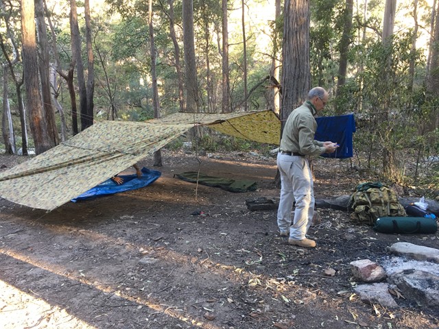
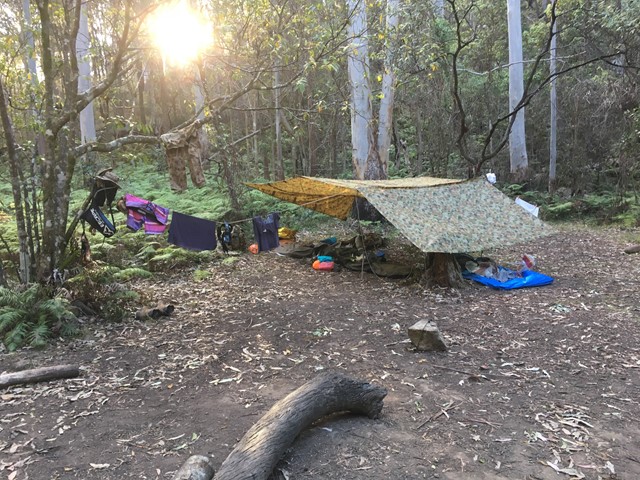
Barney Gorge Junction Bush Camp to Yamahra Creek Camp
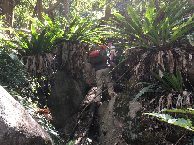
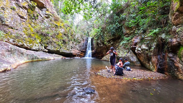
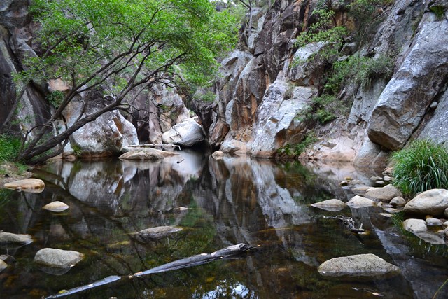
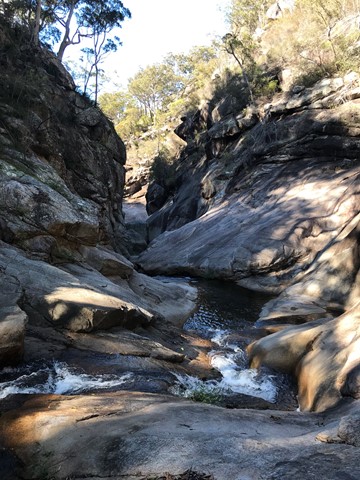
There are two ways to do this walk. The first one is to hike back up to the top of the ridge and follow it along to reach Yamahra creek camp. The second way which is the way we went was to follow the creek and rock hop your way, there are some pros and cons to this as the views are amazing and the scenery spectacular, there are some sections which are a bit challenging as they require some small rock climbing skills and are made more difficult if your carrying a large pack. Before you get to the upper portals you have to break track back up the ridge to your right as you cant get around the portals. From there you follow the track over the ridge and down the other side and descend to the Yamahra creek campsite. this campsite is close to running water in the creek, as you walk towards the creek take the left turn and water is about 200m away.
 13
km
5
hrs
13
km
5
hrs
Cronan Creek Falls Track
From Yellow Pinch car park, a pleasant walk along the fire trail leads you past the base of South Ridge into green rainforest. (Note: the climb up South Ridge is rugged and steep and for experienced walkers only).
 12.4
km
one-way
10
hrs
12.4
km
one-way
10
hrs
Isolated Peak and Toms Tom
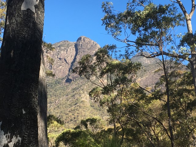
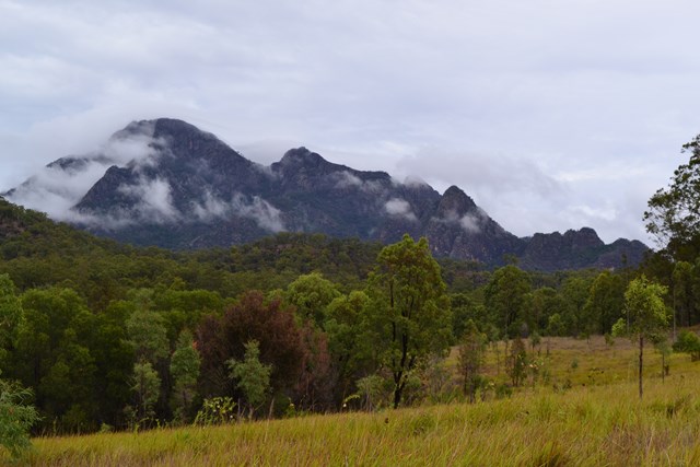
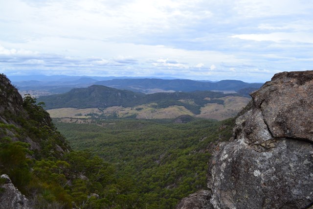
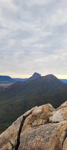
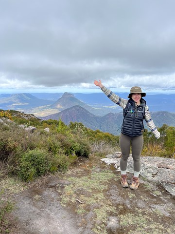
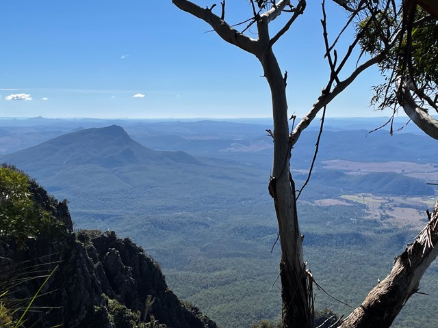
This walk is mostly off track and has some very exposed and challenging descents. The views are spectacular on clear days. A rope is almost obligatory (I didn't take one but I certainly would have used it to descend from Toms Tum if I had one). I would not recommend tackling this route in wet weather as there is a lot of rock scrambling and some sections of almost vertical rock climbing (descending). I had mobile phone reception on the top of Isolated Peak and Toms Tum.
 9.6
km
return
3
hrs
9.6
km
return
3
hrs
Logan's Gorge
A cool offtrack walk. This is an offtrack walk and good navigational skills are mandatory
7.4
km
return
3
hrs
Lower Portals
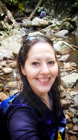
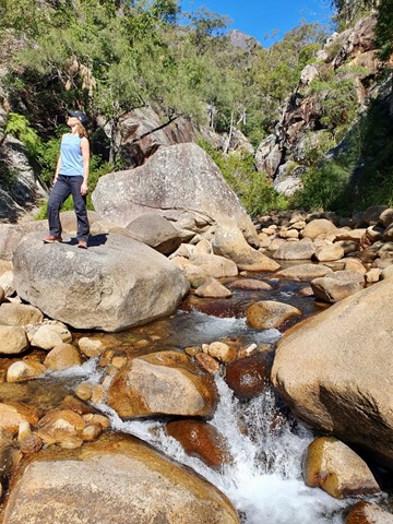
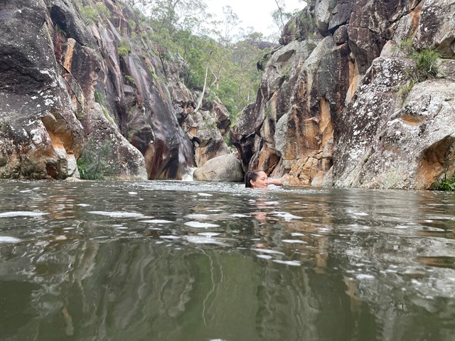
This was my first overnight hike. It was challenging, but not ridiculous. A good beginners walk.
I highly recommend going for a dip in the creek even in Winter. It was like an ice bath for my tired muscles.
 10.5
km
return
5
hrs
10.5
km
return
5
hrs
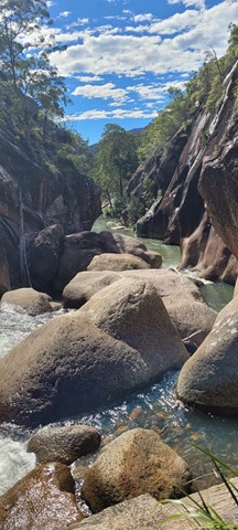
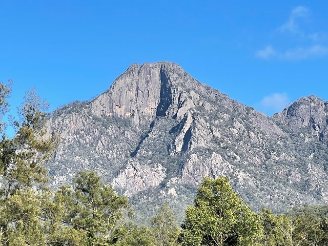
Montserrat Lookout and Upper Portals Circuit
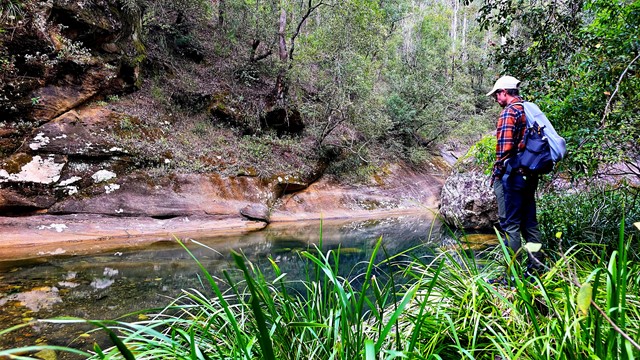
An awesome day out taking in these two spectacular locations, enjoying the amazing views of Mt Barney from Montserrat Lookout, and exploring the Portals. There are a couple of leg-burning climbs involved, but the rewards are worth it.
 15
km
return
11
hrs
15
km
return
11
hrs
Mount Barney South East Ridge
Big day on the mountain. Up and back down the SE Ridge.
Well worth all the aches and pains.