



Menu
A cool offtrack walk. This is an offtrack walk and good navigational skills are mandatory
Scrambling or Climbing
Navigation Required
Rainforest
Eucalypt Forest
900m
Maximum Elevation
500m
Total Climb

Getting there
Park at the Mt Lindesay Border Station
Maps
qtopo for Mt Barney National Park
Route/Trail notes
Bushbash and make your way to the Upper Logan River on the ridge line and follow it downstream to the 2nd creek crossing after the gorge and take the trail on the left in the clearing to the border fence and down the hill to the border station.
Permits/Costs
Other References
GPS Tracks
- No GPS available for this walk yet.
 9.6
9.6 3
3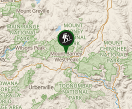
Comments
Nobody has commented on this walk yet. If you've done it then tick it off and add a comment.