


 9
9 8
8- Mt Barney West Peak (Mt Barney National Park)
- Mt Barney West Peak from Rum Jungle (Mt Barney Summit)
- Mt Barney via Gorge and down Peasants Ridge (Mt Barney National Park)
- Mt Barney via Logans Ridge and return via Gorge (Mt Barney National Park)
- Mt Barney - East Peak - South Ridge (Mt Barney National Park)
Mt Barney East peak south east ridge
Mt Barney National Park
Menu

This seems to be a duplicate of part of another walk. The information shown here is incorrect. Please refer to the Mt Barney - East Peak - Up South-East - Down South walk instead: https://www.aussiebushwalking.com/qld/mt-barney/mt-barney-summit/mt-barney-south-east-ridge-ascent-peasants-ridge-descent
Starting from yellow Pinch assend the as per the signage the south east ridge track to the summit
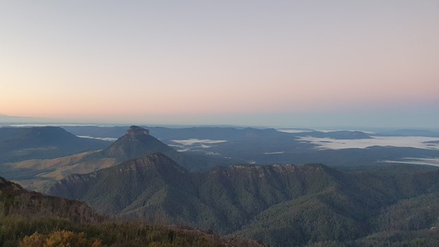
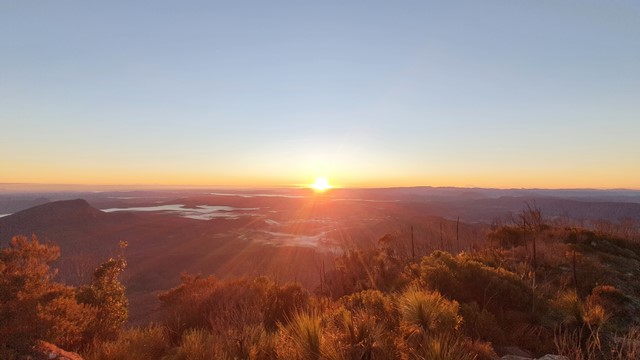
Lookouts
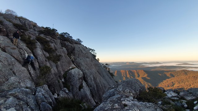
Scrambling or Climbing
Navigation Required
Eucalypt Forest
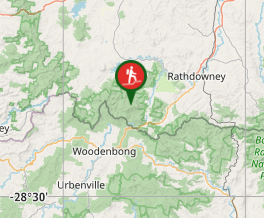
Getting there
How do you get to the start of the walk?follow the Mt Barney rd to Yellow Pinch car park
Maps
Which maps cover the area? google maps
Route/Trail notes
A detailed description of the walk! take the vehicle track over the hill towarks south ridge untill you see the sign for South East ridge. take the track across the creek and up the foot hills to the main ridge (South East ridge) follw track and orange arrows to the summitt
Permits/Costs
Do you need any permits? What's the cost? nill
Other References
How can I find more info? Any guide books? google
GPS Tracks
- No GPS available for this walk yet.
Where
Click here to load this map.
Comments