
Menu
Popular Walks
-
Mt Ngungun
(1151 ticks) -
Mount Coolum
(869 ticks) -
Mt Cordeaux
(665 ticks) -
Twin Falls Circuit
(635 ticks) -
Purling Brook Falls Circuit
(610 ticks)
Parent Regions
Sub-Regions
- Amamoor State Forest
- Bellthorpe National Park
- Brisbane City Council Local Walks
- Brisbane Forest park D'Aguilar National Park
- Brisbane Valley Rail Trail
- Coombabah Lakelands Conservation Area
- Daisy Hill Conservation Park
- Eumundi Conservation Park
- Glass House Mountains National Park
- Glen Rock Regional Park
- Gold Coast
- Ipswich
- Jimna State Forest
- Karawatha Forest
- Kondalilla National Park
- Lamington National Park
- Main Range National Park
- Mapleton National Park
- Moggill Conservation Park
- Moogerah Peaks National Park
- Moreton Island National Park
- Mt Barney National Park
- North Stradbroke Island - Minjeeribah
- Parklands Conservation Park
- Springbrook National Park
- Sunshine Coast
- Tamborine National Park
- White Rock - Spring Mountain Conservation Estate
Summary
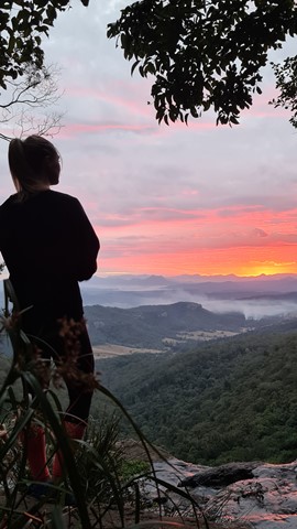
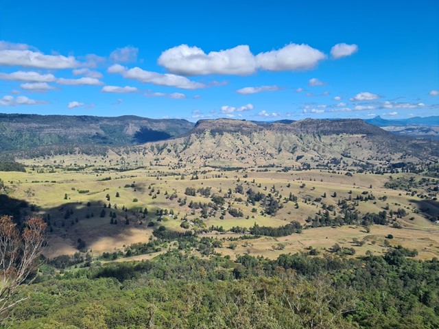
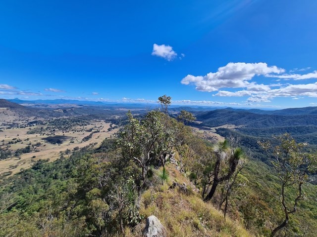
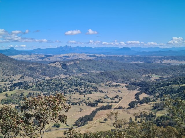
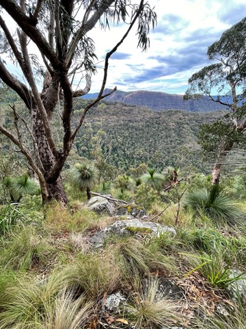
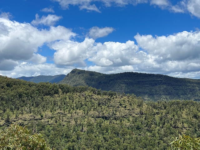
Boarding NSW and the pacific Ocean, it is not uncommon for hikes to have views of both worlds (ocean and hinterland). Hikes here are typically on the great dividing range.
Popular Walks
-
Mt Ngungun
(1151 ticks) -
Mount Coolum
(869 ticks) -
Mt Cordeaux
(665 ticks) -
Twin Falls Circuit
(635 ticks) -
Purling Brook Falls Circuit
(610 ticks)
Parent Regions
Sub-Regions
- Amamoor State Forest
- Bellthorpe National Park
- Brisbane City Council Local Walks
- Brisbane Forest park D'Aguilar National Park
- Brisbane Valley Rail Trail
- Coombabah Lakelands Conservation Area
- Daisy Hill Conservation Park
- Eumundi Conservation Park
- Glass House Mountains National Park
- Glen Rock Regional Park
- Gold Coast
- Ipswich
- Jimna State Forest
- Karawatha Forest
- Kondalilla National Park
- Lamington National Park
- Main Range National Park
- Mapleton National Park
- Moggill Conservation Park
- Moogerah Peaks National Park
- Moreton Island National Park
- Mt Barney National Park
- North Stradbroke Island - Minjeeribah
- Parklands Conservation Park
- Springbrook National Park
- Sunshine Coast
- Tamborine National Park
- White Rock - Spring Mountain Conservation Estate
History
Any interesting history for the region?
Features
What are the standout bushwalking features?
Access
How do you get there? Include all access points if there are many?
Maps
Which maps cover the region?
Accommodation
Where can I stay there? or near there?
Camping
Council Areas:
- Scenic Rim Regional
- Gold Coast City
- Logan City
- Redland City
- Ipswich City
- Lockyer Valley Regional
- Brisbane City
- Somerset Regional
- Moreton Bay Regional
- Sunshine Coast Regional
- Noosa Shire
Contact details
See Qld National parks website
Walks in Lamington National Park

 4.4
km
return
4.4
km
return
 90
mins
90
mins
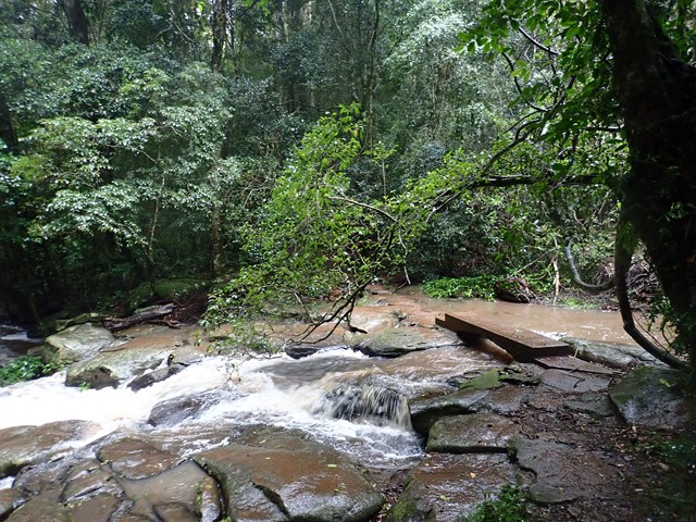
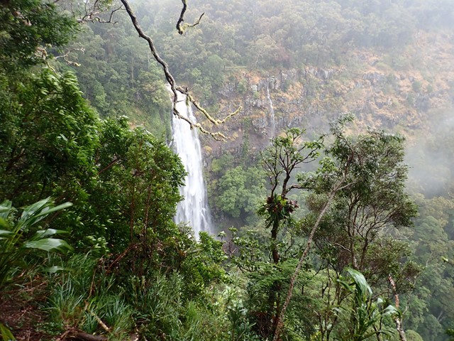
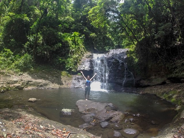
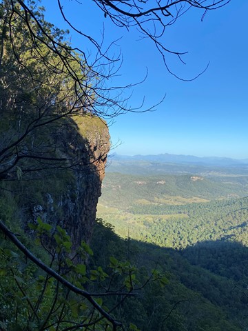
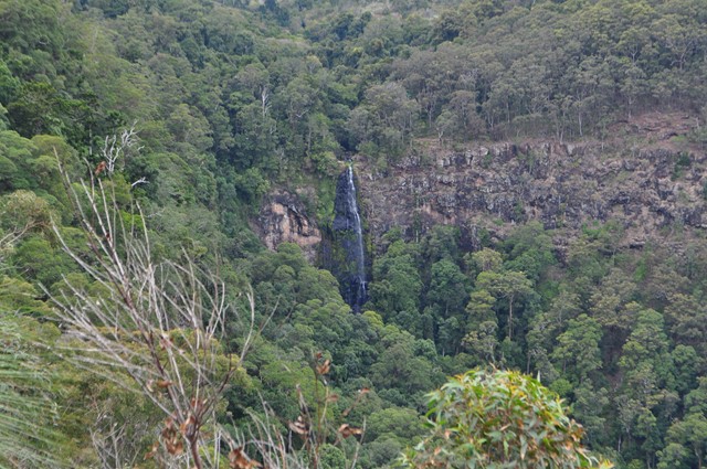
Morans Falls
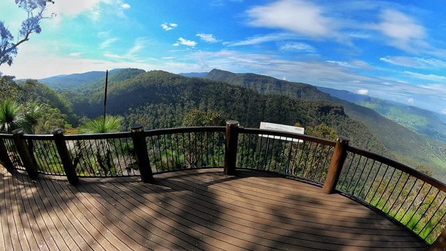
Visit the falls near the O'Reilly's original hut on the plateau and grab some great views of the waterfall and across the gorge towards Castle Crag.
 18.2
km
return
8
hrs
18.2
km
return
8
hrs
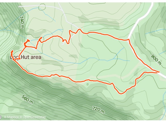
Mt Hobwee Circuit
A moderate difficulty walk in Lamington National Park from Binna Burra to Mt Hobwee summit with a length of 18.2 km return. After leaving the Border Track 5.4km from Binna Burra, this circuit winds through rainforest to the summit of Mount Hobwee (1180m). The circuit rejoins the Border Track for the return to the Binna Burra car park.
 22
km
7
hrs
22
km
7
hrs
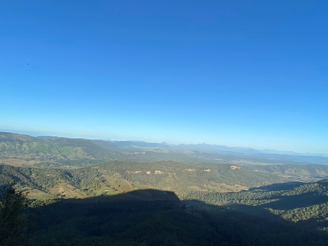
Mt Merino Lookout
The 1160m summit of Mt Merino is halfway between Binna Burra and Green Mountains and can be visited on a day walk.
 15
km
return
8
hrs
15
km
return
8
hrs
Mt Razorback
A full days walk to the summit of Mt Razorback will test your fitness and scrambling abilities. It starts as a steep uphill walk then as you join the ridgeline you will carefully traverse a razor sharp ridge with drop offs on either side followed by some precarious scrambling up loose cliffs. Not one for beginners but with enough care it is very achievable.
 18
km
return
7
hrs
18
km
return
7
hrs
Mt Wagawn
This track also branches off the Mount Hobwee circuit, 2km from the Border Track junction. Garragoolba lookout features uninterrupted views of Springbrook, the Tweed Valley and Mount Warning.
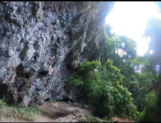
If you approach from the bushrangers caves it is approximately 8km to Mt Wagawn.
Only after naturally occurring events such as severe wildfires or storms are there uninterrupted views of Springbrook, the Tweed Valley and Mount Warning from Wagawn. In the interim years the view may be interrupted by natural regrowth. Please do not damage or remove vegetation as many of these plants are significant species in the Gondwana Rainforests of Australia World Heritage Area. Remember, all plants are protected by legislation.
 10
km
return
5
hrs
10
km
return
5
hrs
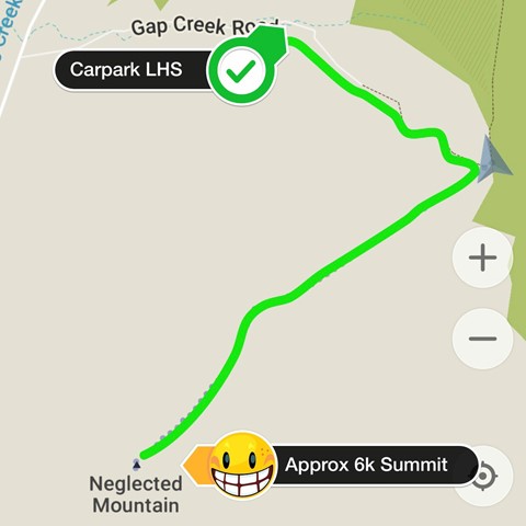
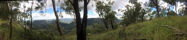
Neglected Mountain
Neglected Mountain lives up to it's name which is a shame because the walk provides excellent views from the top.
 40
km
one-way
3
days
40
km
one-way
3
days
Numinbah Gap to Christmas Creek
A challenging 2-day or 3-day hike along the QLD/NSW border.
2-day option: camp at Echo Point
3-day option: camp at Bithongabel and Point Lookout
A good challenge for experienced walkers with good experience and navigation skills. Points of interest along the way include Bushranger's Cave, Mt Wagawn, Mt Hobwee, Dacelo Lookout, Merino Lookout, Bithongabel Lookout, Echo Point Lookout, Point Lookout, and the Stinson Crash.
This walk can be done in either direction. In any case, you will either have to do a car shuffle or very nicely ask friends or family to do a drop-off and pick-up.
Make sure that you take a PLB and proper emergency provisions (first aid kit, shelter, wet weather gear, warm clothes, extra food rations etc.).
5.4
km
return
2
hrs
Pats Bluff
The West Cliff Track branches to the right from the Python Rock Track and then immediately sharp left past a Black Booyong with extensive buttressing and a tall Hoop Pine 30 metres further down the track.
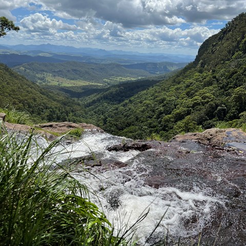
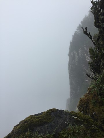
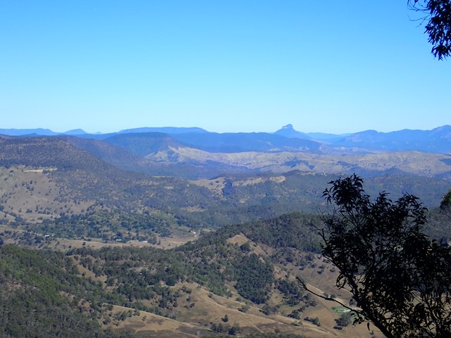
Pat’s Bluff affords a view over the Albert and Logan River valleys to the Great Dividing Range. Follow the cliff line down past a view of Raining Cliff to the picnic area. Pat O’Reilly’s log cabin is 70 metres in from this spot. Peregrine Falcons nest in caves in these cliffs and often rest in the dead trees above the cliff line
 3.4
km
return
1
hr
3.4
km
return
1
hr
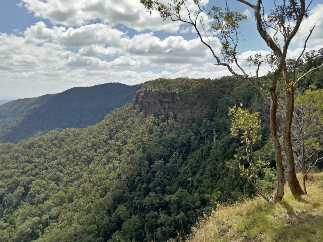
Python Rock
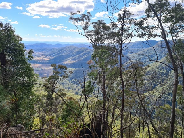
The track to Python Rock has even grades, suitable for older people and young children. The booyongs and figs near the West Cliff turn off are impressive as are the large New England Blackbutt as you enter the open forest for the first time. The view from Python Rock overlooks Castle Crag to the Lost World with Mount Throakban on the left and Moran's Falls. You can proceed up the hill from the lookout on a tough track and turn left for West Cliff.