
Menu
Popular Walks
-
Mt Ngungun
(1151 ticks) -
Mount Coolum
(869 ticks) -
Mt Cordeaux
(665 ticks) -
Twin Falls Circuit
(635 ticks) -
Purling Brook Falls Circuit
(610 ticks)
Parent Regions
Sub-Regions
- Amamoor State Forest
- Bellthorpe National Park
- Brisbane City Council Local Walks
- Brisbane Forest park D'Aguilar National Park
- Brisbane Valley Rail Trail
- Coombabah Lakelands Conservation Area
- Daisy Hill Conservation Park
- Eumundi Conservation Park
- Glass House Mountains National Park
- Glen Rock Regional Park
- Gold Coast
- Ipswich
- Jimna State Forest
- Karawatha Forest
- Kondalilla National Park
- Lamington National Park
- Main Range National Park
- Mapleton National Park
- Moggill Conservation Park
- Moogerah Peaks National Park
- Moreton Island National Park
- Mt Barney National Park
- North Stradbroke Island - Minjeeribah
- Parklands Conservation Park
- Springbrook National Park
- Sunshine Coast
- Tamborine National Park
- White Rock - Spring Mountain Conservation Estate
Summary
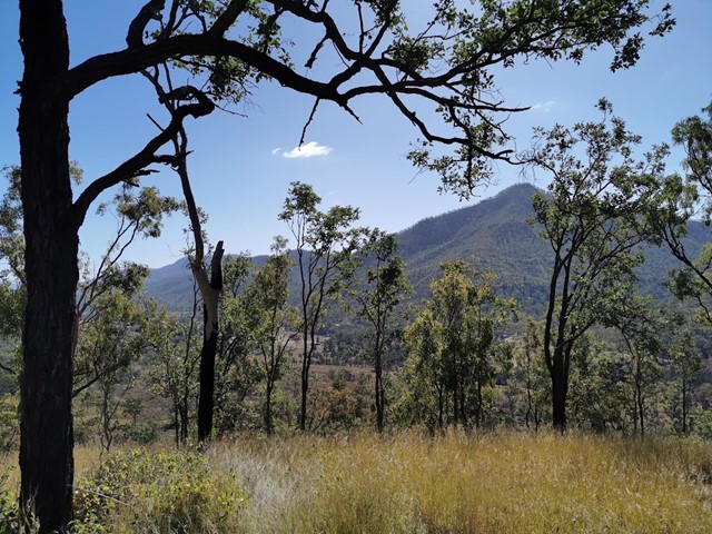
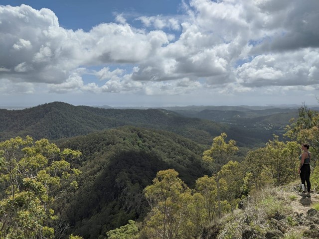
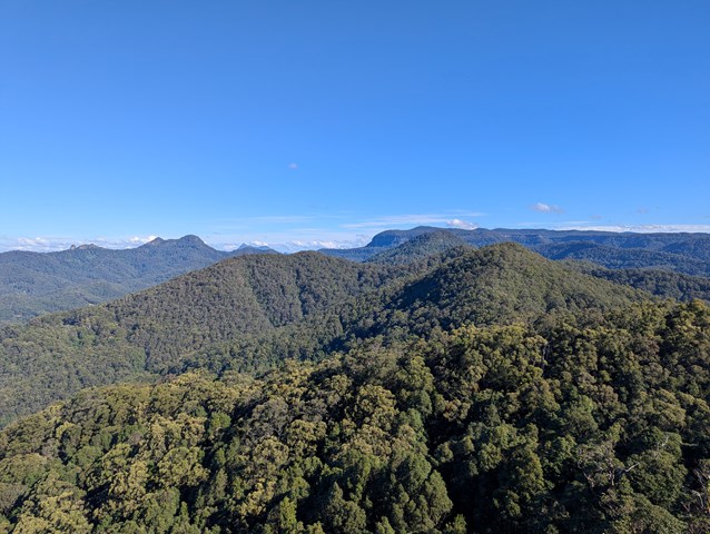
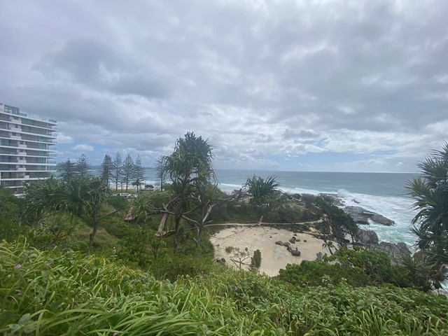
Boarding NSW and the pacific Ocean, it is not uncommon for hikes to have views of both worlds (ocean and hinterland). Hikes here are typically on the great dividing range.
Popular Walks
-
Mt Ngungun
(1151 ticks) -
Mount Coolum
(869 ticks) -
Mt Cordeaux
(665 ticks) -
Twin Falls Circuit
(635 ticks) -
Purling Brook Falls Circuit
(610 ticks)
Parent Regions
Sub-Regions
- Amamoor State Forest
- Bellthorpe National Park
- Brisbane City Council Local Walks
- Brisbane Forest park D'Aguilar National Park
- Brisbane Valley Rail Trail
- Coombabah Lakelands Conservation Area
- Daisy Hill Conservation Park
- Eumundi Conservation Park
- Glass House Mountains National Park
- Glen Rock Regional Park
- Gold Coast
- Ipswich
- Jimna State Forest
- Karawatha Forest
- Kondalilla National Park
- Lamington National Park
- Main Range National Park
- Mapleton National Park
- Moggill Conservation Park
- Moogerah Peaks National Park
- Moreton Island National Park
- Mt Barney National Park
- North Stradbroke Island - Minjeeribah
- Parklands Conservation Park
- Springbrook National Park
- Sunshine Coast
- Tamborine National Park
- White Rock - Spring Mountain Conservation Estate
History
Any interesting history for the region?
Features
What are the standout bushwalking features?
Access
How do you get there? Include all access points if there are many?
Maps
Which maps cover the region?
Accommodation
Where can I stay there? or near there?
Camping
Council Areas:
- Scenic Rim Regional
- Gold Coast City
- Logan City
- Redland City
- Ipswich City
- Lockyer Valley Regional
- Brisbane City
- Somerset Regional
- Moreton Bay Regional
- Sunshine Coast Regional
- Noosa Shire
Contact details
See Qld National parks website
Walks in Glass House Mountains National Park

 15
km
return
15
km
return
 4
hrs
4
hrs
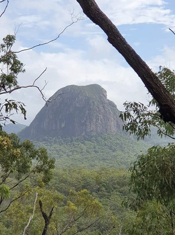
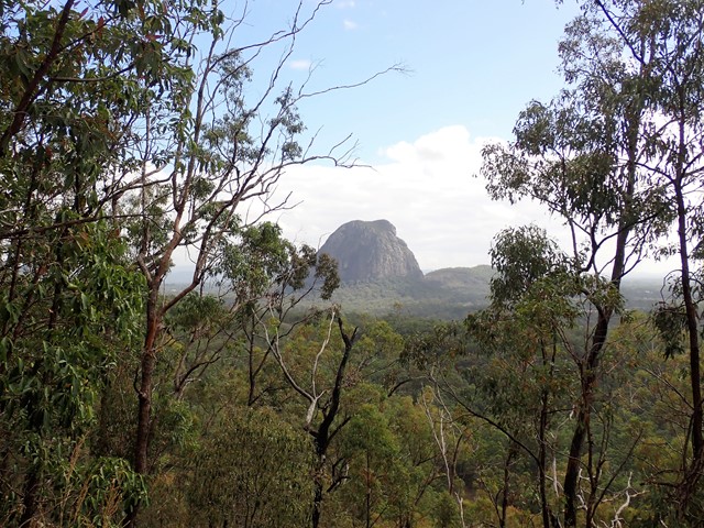
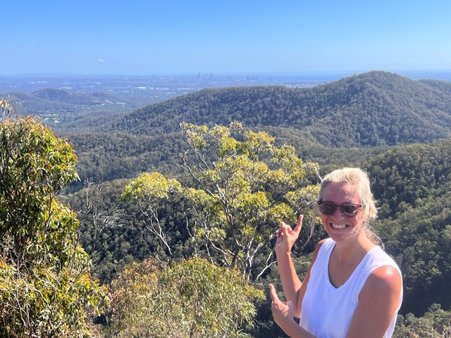
Yul-yan-man, Tibrogargan, Trachyte Circuit
Simply a stitched together circuit of three existing tracks that together, provide a lot of good views, a good variety of landscape and plants and lots of birdsong and flowers. The Yul-yan-man part includes some rock scrambling, the other two parts are mostly flat and easy.
Walks in Glen Rock Regional Park
3
km
return
1
hr
East Lookout
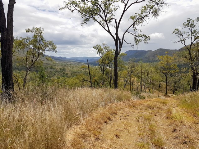
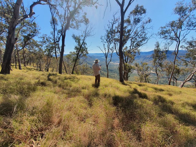
Climb to a lookout at the base of Glen Rock. This walk provides great views down the valley carved by Blackfellow Creek and a good overview of Glen Rock Regional Park.
 5
km
return
3
hrs
5
km
return
3
hrs
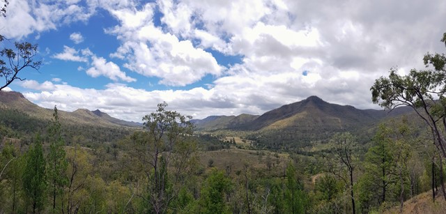
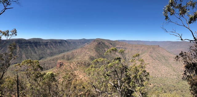
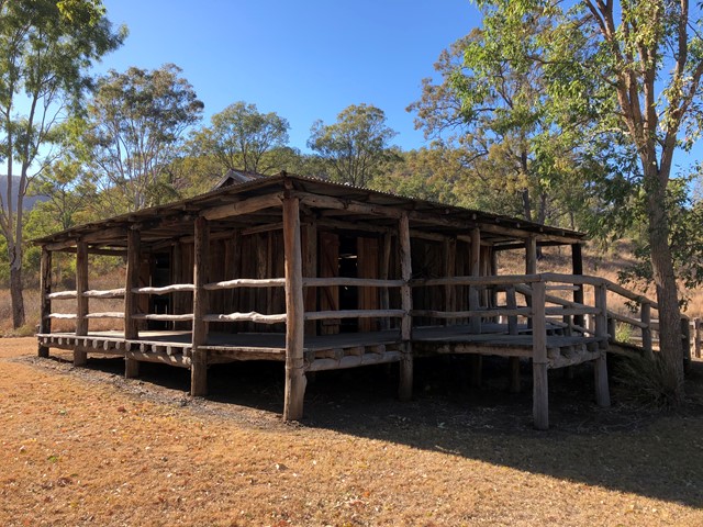
Glen Rock
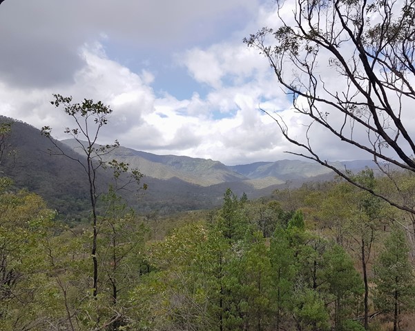
Glen Rock State Forest is situated at the head of Tenthill Valley and adjoins the World Heritage-listed Main Range National Park.
 3.2
km
return
90
mins
3.2
km
return
90
mins
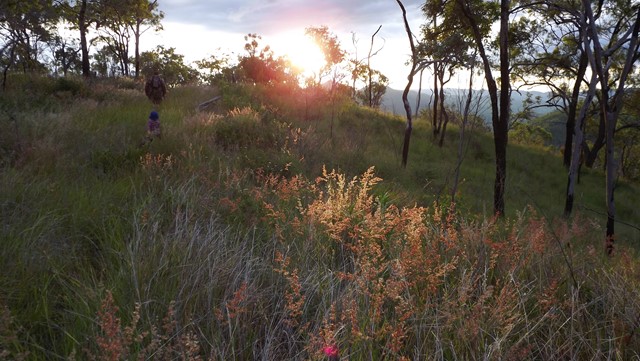
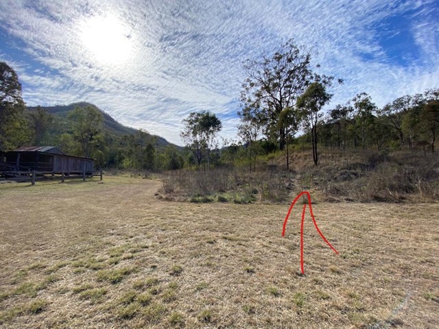
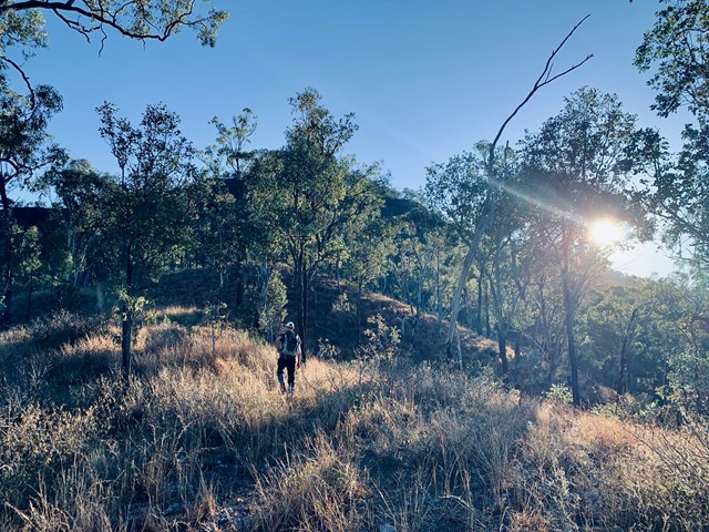
Mount Machar walking track
This short walk starts from the camping area, crosses the creek bed and goes up the hill to provide panoramic views of the valley. The eucalyptus trees block some of the view, but you can catch the sun coming over the mountains from here.
The path is a clear, wide strip of mowed grass and is easy to follow.
 13
km
return
5
hrs
13
km
return
5
hrs
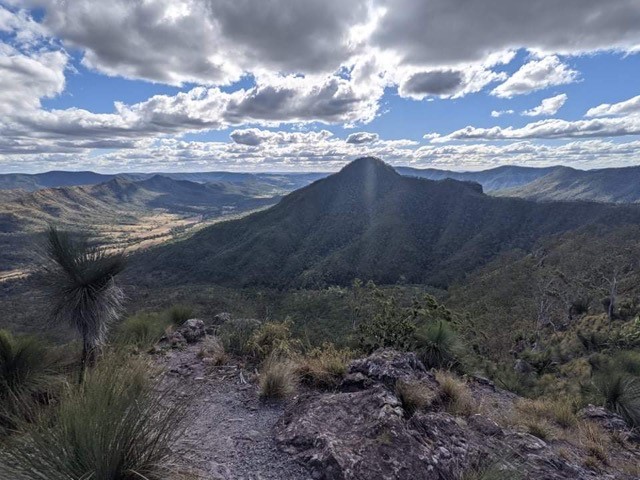
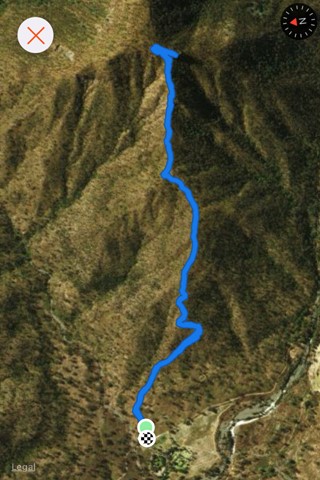
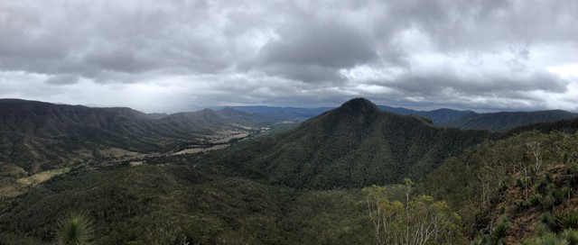
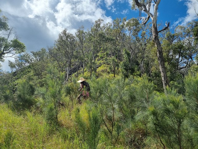
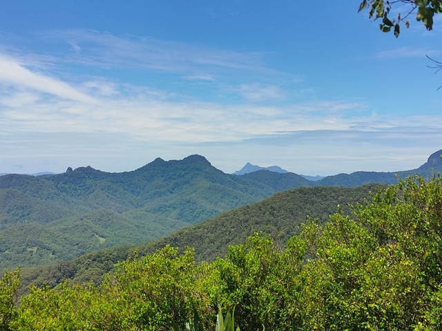
Mt Machar Ridge Summit Circuit
A challenging ridge walk incorporating the Mt Machar summit with some great views
 4.5
km
return
4
hrs
4.5
km
return
4
hrs
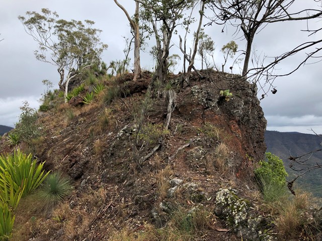
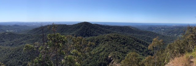
Mt Philp
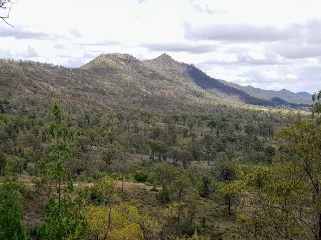
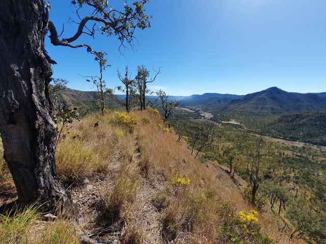
Mt Philp is located in GlenRock Regional Park and sits to the north of the ridge of Glen Rock.
There is no distinct track to the summit so you will have to navigate your way starting from the information shed opposite the day use area.
This climb can be steep in areas and will require some scrambling approaching the summit but you are rewarded with amazing views of Glen Rock and the ridge lines of the sorrounding area.
Walks in Gold Coast
 1
km
return
15
mins
1
km
return
15
mins
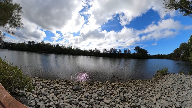
Arthur Earle park walk (Nerang River)
Short smooth walk along the Nerang river to a fishing platform
 9.5
km
return
4
hrs
9.5
km
return
4
hrs
Bally Mountain Loop
A loop walk to the peak of Bally Mountain, an alternative to the out an back of the standard route.
 4.15
km
return
1
hr
4.15
km
return
1
hr
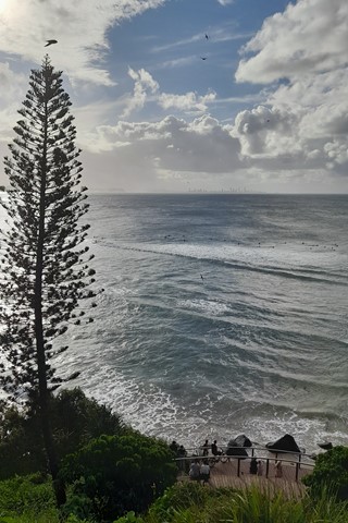
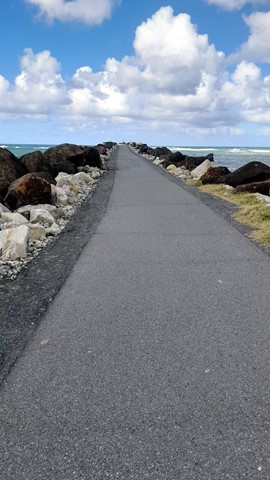
Boat Harbour, Point Danger and North Tweed Circuit
This return walk travels through the Rainbow Bay, Point Danger, the QLD/NSW border and Duranbah Beach (North Tweed). The entire circuit is paved.