
Menu
Popular Walks
-
Mt Ngungun
(1151 ticks) -
Mount Coolum
(869 ticks) -
Mt Cordeaux
(665 ticks) -
Twin Falls Circuit
(635 ticks) -
Purling Brook Falls Circuit
(610 ticks)
Parent Regions
Sub-Regions
- Amamoor State Forest
- Bellthorpe National Park
- Brisbane City Council Local Walks
- Brisbane Forest park D'Aguilar National Park
- Brisbane Valley Rail Trail
- Coombabah Lakelands Conservation Area
- Daisy Hill Conservation Park
- Eumundi Conservation Park
- Glass House Mountains National Park
- Glen Rock Regional Park
- Gold Coast
- Ipswich
- Jimna State Forest
- Karawatha Forest
- Kondalilla National Park
- Lamington National Park
- Main Range National Park
- Mapleton National Park
- Moggill Conservation Park
- Moogerah Peaks National Park
- Moreton Island National Park
- Mt Barney National Park
- North Stradbroke Island - Minjeeribah
- Parklands Conservation Park
- Springbrook National Park
- Sunshine Coast
- Tamborine National Park
- White Rock - Spring Mountain Conservation Estate
Summary
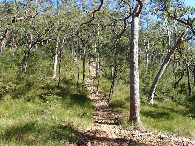
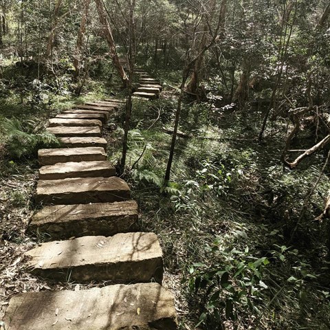
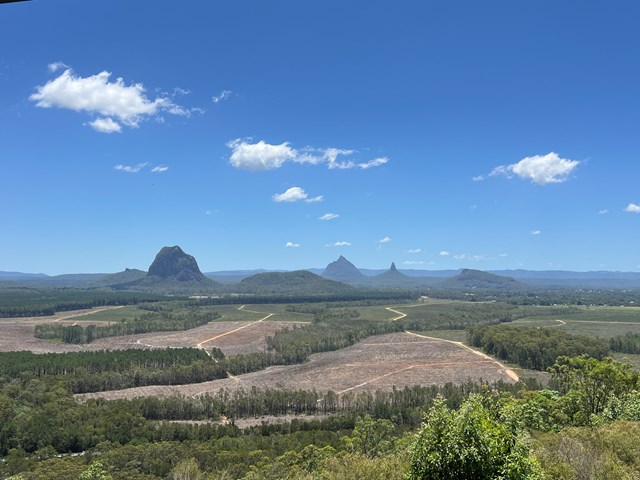
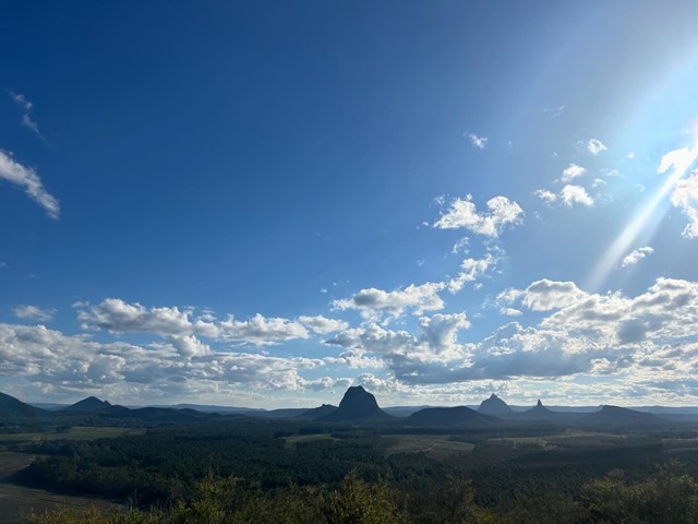
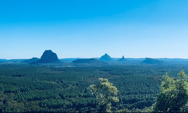
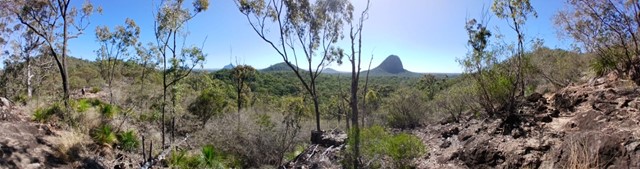
Boarding NSW and the pacific Ocean, it is not uncommon for hikes to have views of both worlds (ocean and hinterland). Hikes here are typically on the great dividing range.
Popular Walks
-
Mt Ngungun
(1151 ticks) -
Mount Coolum
(869 ticks) -
Mt Cordeaux
(665 ticks) -
Twin Falls Circuit
(635 ticks) -
Purling Brook Falls Circuit
(610 ticks)
Parent Regions
Sub-Regions
- Amamoor State Forest
- Bellthorpe National Park
- Brisbane City Council Local Walks
- Brisbane Forest park D'Aguilar National Park
- Brisbane Valley Rail Trail
- Coombabah Lakelands Conservation Area
- Daisy Hill Conservation Park
- Eumundi Conservation Park
- Glass House Mountains National Park
- Glen Rock Regional Park
- Gold Coast
- Ipswich
- Jimna State Forest
- Karawatha Forest
- Kondalilla National Park
- Lamington National Park
- Main Range National Park
- Mapleton National Park
- Moggill Conservation Park
- Moogerah Peaks National Park
- Moreton Island National Park
- Mt Barney National Park
- North Stradbroke Island - Minjeeribah
- Parklands Conservation Park
- Springbrook National Park
- Sunshine Coast
- Tamborine National Park
- White Rock - Spring Mountain Conservation Estate
History
Any interesting history for the region?
Features
What are the standout bushwalking features?
Access
How do you get there? Include all access points if there are many?
Maps
Which maps cover the region?
Accommodation
Where can I stay there? or near there?
Camping
Council Areas:
- Scenic Rim Regional
- Gold Coast City
- Logan City
- Redland City
- Ipswich City
- Lockyer Valley Regional
- Brisbane City
- Somerset Regional
- Moreton Bay Regional
- Sunshine Coast Regional
- Noosa Shire
Contact details
See Qld National parks website
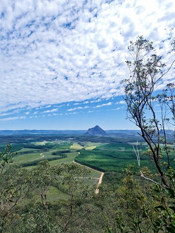
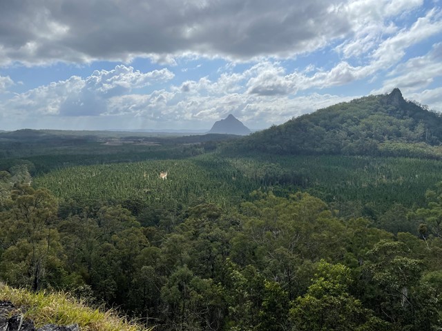
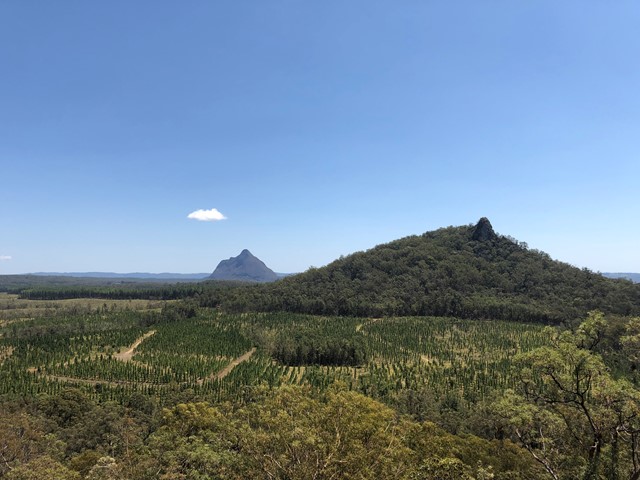
Walks in Glass House Mountains National Park

 4.9
km
return
4.9
km
return
 3.5
hrs
3.5
hrs
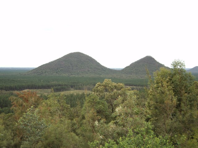
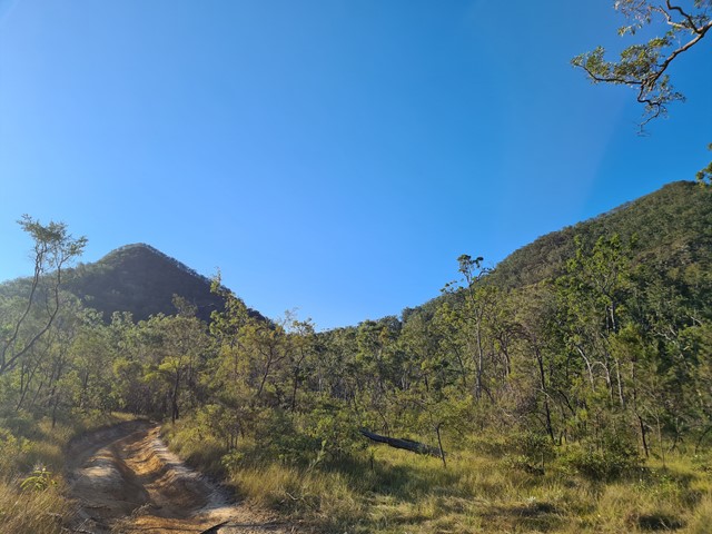
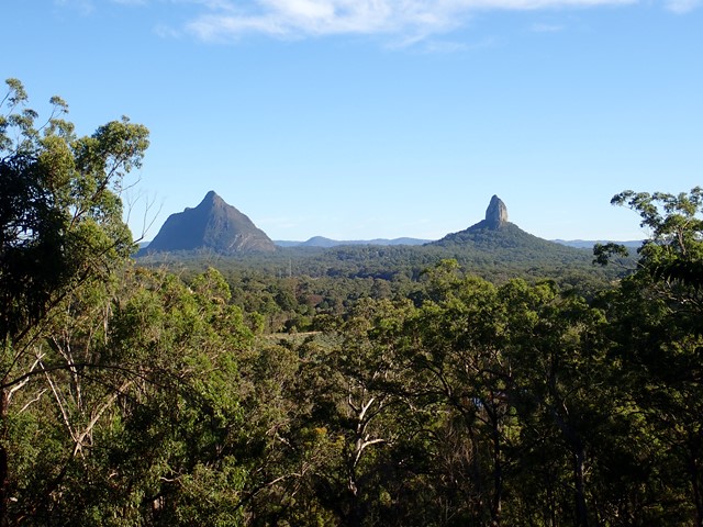
Mt Tunbubudla East
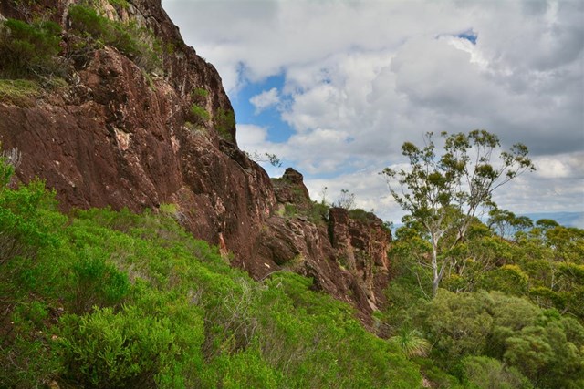
Mt. Tunbubudla is in fact two mountains known as The Twins. Not easy to access and certainly not easy to climb, and the view of the rest of the Glasshouse Mountains from the South really isn't visible through the trees on the summit. However, it can provide and excellent challenge in bush-bashing or in steep rocky ascents.
 4.7
km
return
3.5
hrs
4.7
km
return
3.5
hrs
Mt Tunbubudla West
Mt. Tunbubudla is in fact two mountains known as The Twins. Not easy to access and certainly not easy to climb, but the reward is a new perspective of the remainder of the Glass House Mountains to your north.
 750
m
one-way
3
hrs
750
m
one-way
3
hrs
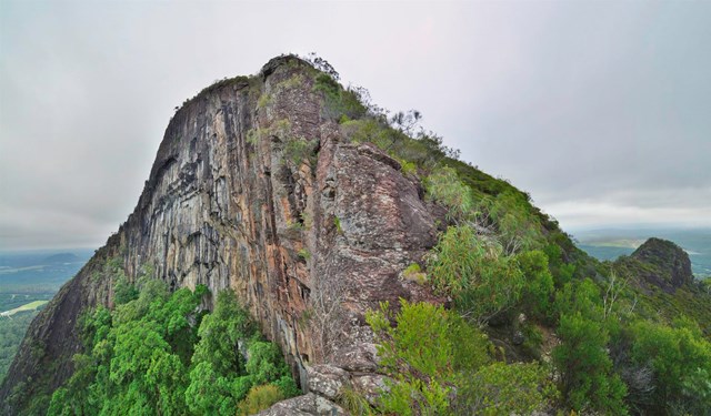
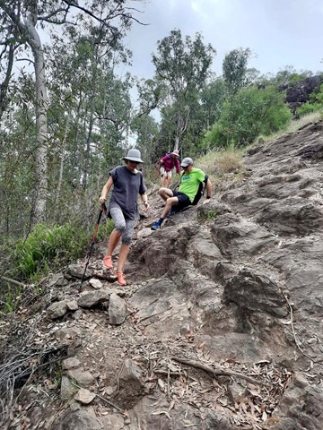
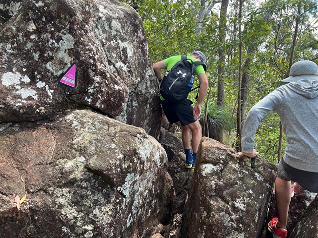
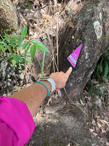
Mt. Beerwah - Alpine Route
Steep and tricky scramble followed by a nasty scrub bash section, climbing the North West side to join the upper tourist track. Basic rock climbing skills are needed to ascend the first 100m. Rope and some trad gear would be advisable on the lower section to lead a group.
A route of a strong wild environment and adventure character not to be taken lightly by inexperienced route finders.
 3.97
km
return
3.97
km
return
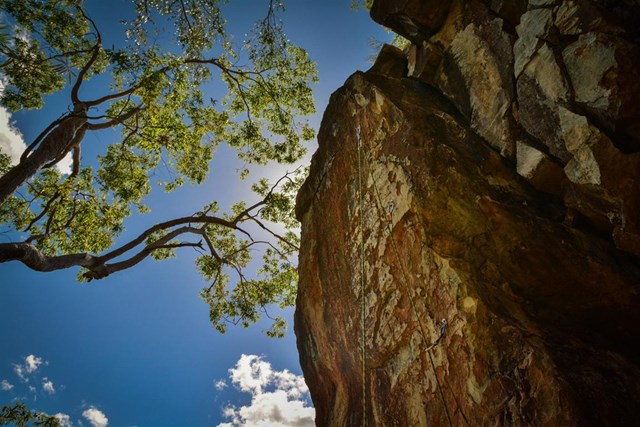
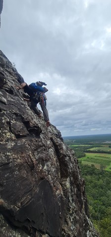
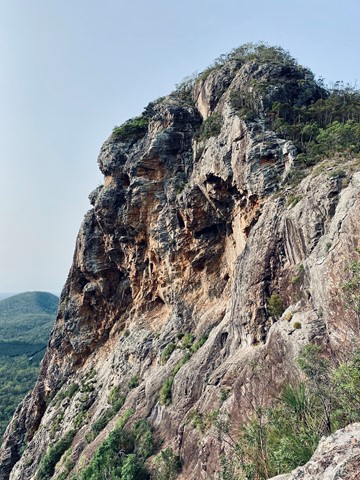
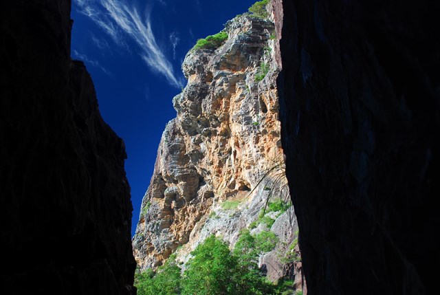
Mt. Tibrogargan summit - Caves Route
Could be also classified as a very hard bushwalk or an easy rock climb. Either way this is a short but classic scramble that displays the complexity of Tibro's majestic east face, on a series of unforgettable pitches, each with their own character and style.
Some parties prefer a roped ascent when some climbers think the solo effort is the way to fully enjoy the tremendous exposure this route delivers.
Route finding is easy and straightforward but falling is not an option on most parts. Some fixed abseiling/belay station are present at convenient spots to either retreat safely or bring following climbers up on a rope.
Each pitch of the whole route can be abseiled with a 60m rope and the experience is equal to the climb.
The hardest climbing move is below the big chimney, basic rock climbing skills are required to make a couple of grade 14/15 moves to build a belay or install an aid point.
Descent can be made safely via tourist track (very busy at times) or as mentioned, abseiling back (5 abseils).
Helmet and grippy shoes are mandatory and the route shouldn't be attempted when wet or downclimbed by the novice.
 2.4
km
one-way
59
mins
2.4
km
one-way
59
mins
Round Mountain
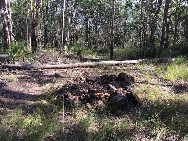
Southern Glass House Mountain just off Old Gympie Road, Elimbah. Land is council reserve.
 3.3
km
return
90
mins
3.3
km
return
90
mins
Tibrogargan Circuit
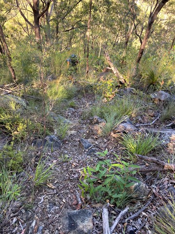
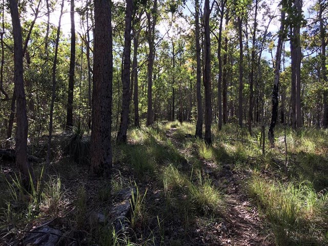
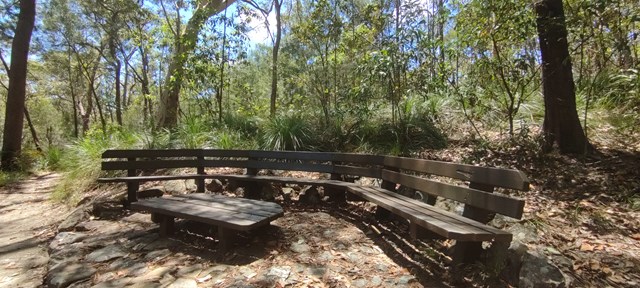
The walking track leads around the base of Mount Tibrogargan, through casuarina groves, open eucalypt and melaleuca forests. The track allows for great views of Mount Tibrogargan and Mount Cooee (to the north east). Keep an eye out for circling peregrine falcons. There are a number of seats along the way for those that like to stop and take it all in.
 7.1
km
return
3
hrs
7.1
km
return
3
hrs
Trachyte and Tibrogargan Circuit
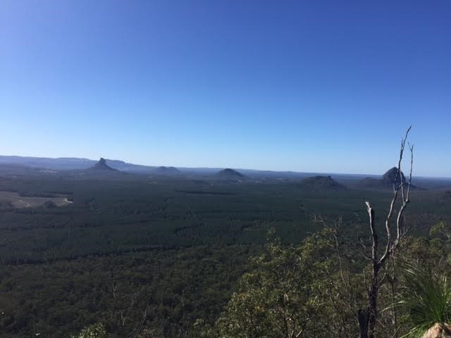
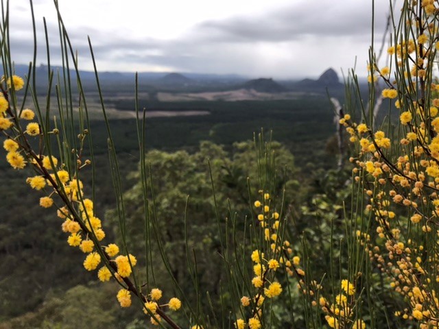
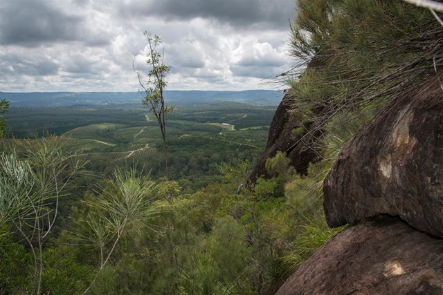
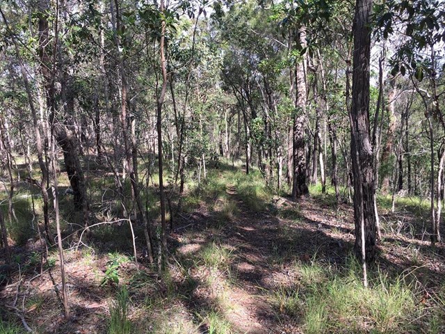
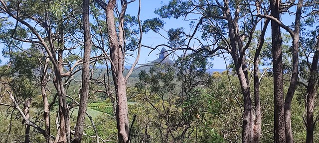
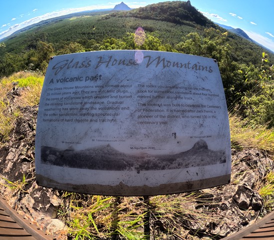
A nice, easy walk with nothing too strenuous. Leading from the car park, begin the Tibrogargan Circuit. At the first fork take a right (sign post and map at the fork). The circuit winds through open eucalypti, casuarina and native flora alongside Mount Tibrogargan and Mount Tibberoowuccum. Signage along the track provide information about the area's flora and fauna. The trail then ascends to the Jack Ferris lookout which is atop Trachyte Ridge and affords walkers a panoramic view of surrounding peaks and pine forest plantation. Interestingly, the Glasshouse Mountains themselves are volcanic plugs formed largely of rhyolite and trachyte which remain after the surrounding sandstone eroded over 25 million years.
 5.9
km
return
2
hrs
5.9
km
return
2
hrs
Trachyte Circuit
This circuit leads through open woodland and heathland linking Mount Tibrogargan and Mount Tibberoowuccum. Interpretive signs along the track provide details of the area's special features. The Jack Ferris lookout, on Trachyte Ridge, allows for good views of the surrounding peaks. This ridge owes its name to a type of volcanic rock which forms many of the Glass House Mountains peaks.
 1.4
km
return
30
mins
1.4
km
return
30
mins
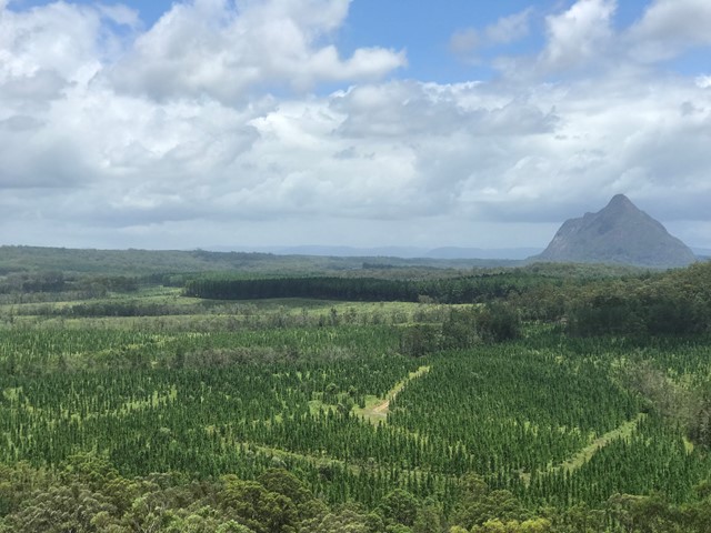
Wild Horse Mountain
Quite steep but concrete all the way. Amazing 360° views of the Glass House Mountains to the west and Bribie Island and the coastal strip to the east. Lots of information on what you are looking at and a great place for a picnic.
 8
km
return
4
hrs
8
km
return
4
hrs
Yul-yan-man Track
Breathtaking views of the surrounding mountains, rock scrambling challenges and diverse plant communities await you are you skirt Mt Beerburrum and then transverse the Trachyte Ridge, before reaching a heath covered bluff and descending into the open eucalypt forest below.