
Menu
Popular Walks
-
Mt Ngungun
(1151 ticks) -
Mount Coolum
(869 ticks) -
Mt Cordeaux
(665 ticks) -
Twin Falls Circuit
(635 ticks) -
Purling Brook Falls Circuit
(610 ticks)
Parent Regions
Sub-Regions
- Amamoor State Forest
- Bellthorpe National Park
- Brisbane City Council Local Walks
- Brisbane Forest park D'Aguilar National Park
- Brisbane Valley Rail Trail
- Coombabah Lakelands Conservation Area
- Daisy Hill Conservation Park
- Eumundi Conservation Park
- Glass House Mountains National Park
- Glen Rock Regional Park
- Gold Coast
- Ipswich
- Jimna State Forest
- Karawatha Forest
- Kondalilla National Park
- Lamington National Park
- Main Range National Park
- Mapleton National Park
- Moggill Conservation Park
- Moogerah Peaks National Park
- Moreton Island National Park
- Mt Barney National Park
- North Stradbroke Island - Minjeeribah
- Parklands Conservation Park
- Springbrook National Park
- Sunshine Coast
- Tamborine National Park
- White Rock - Spring Mountain Conservation Estate
Summary
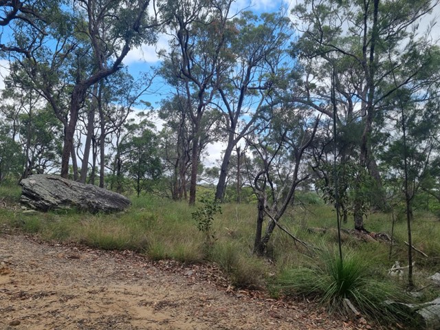
Boarding NSW and the pacific Ocean, it is not uncommon for hikes to have views of both worlds (ocean and hinterland). Hikes here are typically on the great dividing range.
Popular Walks
-
Mt Ngungun
(1151 ticks) -
Mount Coolum
(869 ticks) -
Mt Cordeaux
(665 ticks) -
Twin Falls Circuit
(635 ticks) -
Purling Brook Falls Circuit
(610 ticks)
Parent Regions
Sub-Regions
- Amamoor State Forest
- Bellthorpe National Park
- Brisbane City Council Local Walks
- Brisbane Forest park D'Aguilar National Park
- Brisbane Valley Rail Trail
- Coombabah Lakelands Conservation Area
- Daisy Hill Conservation Park
- Eumundi Conservation Park
- Glass House Mountains National Park
- Glen Rock Regional Park
- Gold Coast
- Ipswich
- Jimna State Forest
- Karawatha Forest
- Kondalilla National Park
- Lamington National Park
- Main Range National Park
- Mapleton National Park
- Moggill Conservation Park
- Moogerah Peaks National Park
- Moreton Island National Park
- Mt Barney National Park
- North Stradbroke Island - Minjeeribah
- Parklands Conservation Park
- Springbrook National Park
- Sunshine Coast
- Tamborine National Park
- White Rock - Spring Mountain Conservation Estate
History
Any interesting history for the region?
Features
What are the standout bushwalking features?
Access
How do you get there? Include all access points if there are many?
Maps
Which maps cover the region?
Accommodation
Where can I stay there? or near there?
Camping
Council Areas:
- Scenic Rim Regional
- Gold Coast City
- Logan City
- Redland City
- Ipswich City
- Lockyer Valley Regional
- Brisbane City
- Somerset Regional
- Moreton Bay Regional
- Sunshine Coast Regional
- Noosa Shire
Contact details
See Qld National parks website
Walks in Karawatha Forest

 4
km
return
4
km
return
 1
hr
1
hr
Banksia Track
True to its name this track features a variety of banksia species. Visit in autumn when the banksias are in bloom. The track begins in Frog Hollow where wet heath provides rich habitat for 23 species of frog that call Karawatha Forest home then climbs through eucalypt forest to the crest of the hill and the sandstone boulders of Poet’s Rock. This track connects with the Dianella, Wallum and Dentata tracks for a longer walking experience.
 7.35
km
return
2
hrs
7.35
km
return
2
hrs
Brushtail, Maculata, Dianella, Wallaby, Rocks
Trails added together to increase walk time at Karawatha
6.5
km
return
84
mins
Brushtail, Wallum, Banksia, Wallaby, Rocks
These are trails in Karawatha Forest added together for a longer walk
4.5
km
return
90
mins
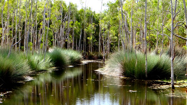
Casuarina, Maculata, Hakea and Wild May trails loop
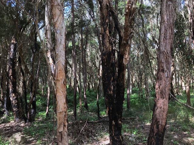
Combine Casuarina, Maculata, Hakea and Wild May trails to create a circuit from the Illaweena Street picnic area. These wide multi use trails take you through areas of Spotted gum, Scribbly gum, casuarina and paperbark-lined lagoons.
 8.03
km
return
2.09
hrs
8.03
km
return
2.09
hrs
Casuarina, Lomatia, Curtisli, Mahogany, Casuarina Trails
Curtisli is a hard trail in some places as indicated on the maps, but worth it to reach Yagara Rocks Lookout.
Illaweena Street trailhead.
 1
km
return
20
mins
1
km
return
20
mins
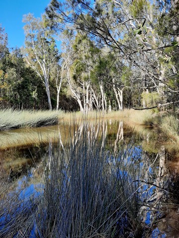
Melaleuca Circuit
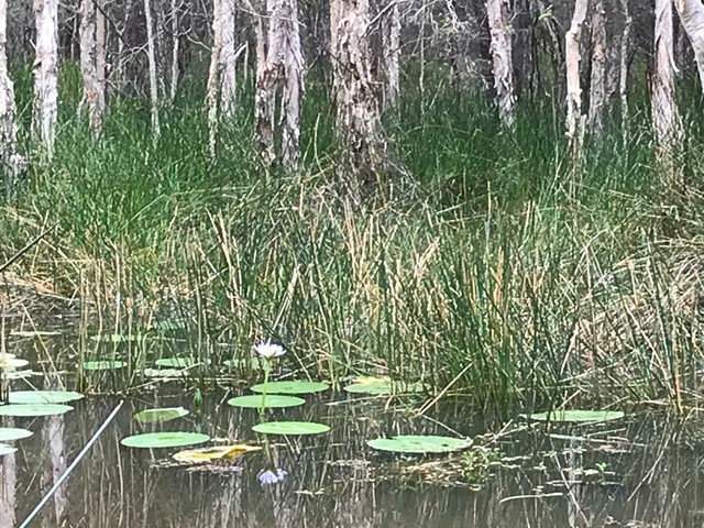
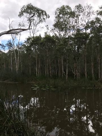
Small freshwater lagoons and eucalypt forest with large scribbly gums along the lagoon edge. This is a great walk for birdwatching. Easily accessed from Illaweena Street picnic area.
4
km
1
hr
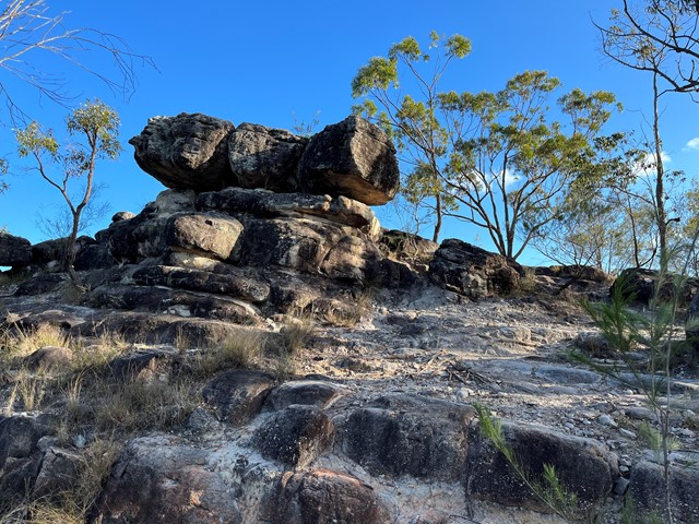
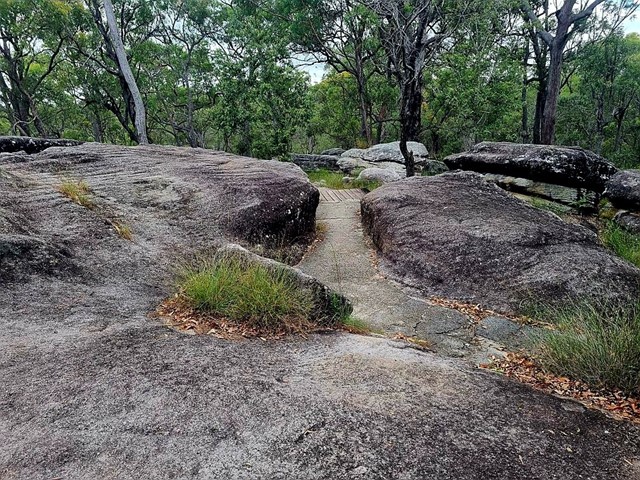
Poets Rock
From Stretton Reserve, cross the bridge and head up Casuarina Track. Take the right onto Macaluta track. About a kilometre or so in, right before you hit the join with Hakea track, you'll see a steep track heading to the left. Scramble up there and you've reached the peak of Poets Rock. A good place to think and write poetry.
 3.4
km
return
45
mins
3.4
km
return
45
mins
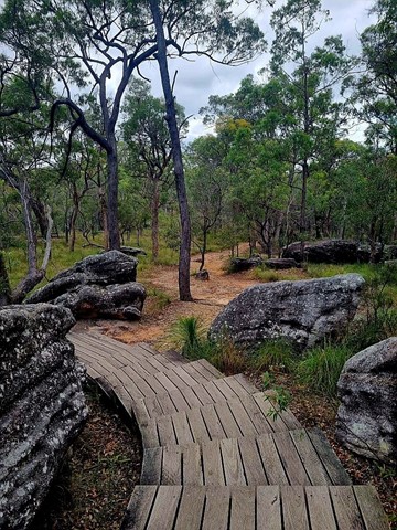
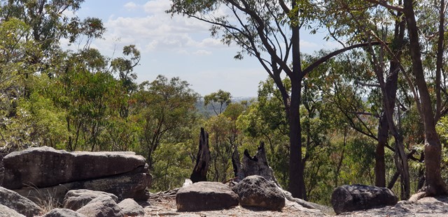
Rocks Circuit
A good circuit walk. Great view over the bushland. Includes stairs.
 8.62
km
return
2.27
hrs
8.62
km
return
2.27
hrs
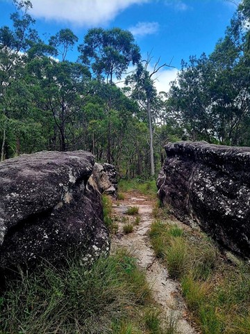
Rocks, Dianella, Lomatia, Bracken, Entolasia, Rocks Trails
Trails added together to make walk longer.
Acacia Rd Trailhead
 8
km
2
hrs
8
km
2
hrs
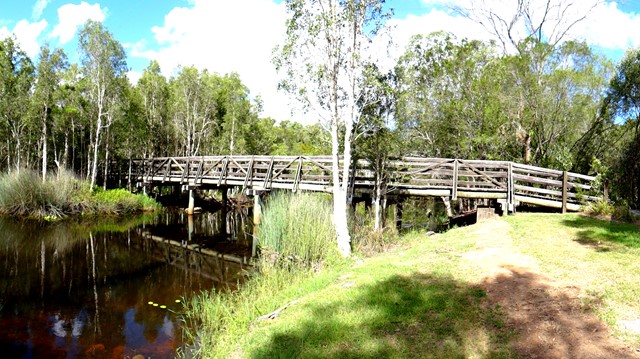
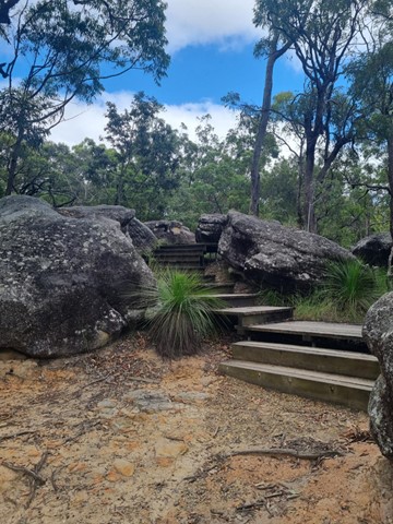
The Rocks Circuit (from Illaweena Street)
Starting from Stretton Reserve on Illaweena St, head to the far end of the picnic area and across the bridge over the lagoon. Start following the power lines and head slightly up hill. About 700 metres in, follow the sign to the right Dianella Trail. There's an interesting and rather random car wreck in here. Keep following it at any sign posts by heading to the Wallaby track.
When you reach the Wallaby track, head right for 170 metres then left for 120 metres onto the Rocks circuit. Head right (ignore the path in front of you) and keep following it around. Stick to the Rocks Circuit. You'll eventually come to an unsigned junction. Don't go uphill to the left (that will take you back to the Wallaby track) but head right down the gully and then up some stairs. This will eventually take you to an excellent little picnic area at the highest point in the park, with a nice view of the local area.
From the picnic area, head west on the Entolasia track towards the reservoirs and mobile phone towers. After the mobile tower (but before the huge/second water reservoir) head left where the sign says Wallaby track, but don't head onto the Wallaby track. There'll be a green arrow painted on a tree. Follow that arrow and head down the Casuarina track. If you ever wander off track, just follow the main track under the power lines until you get back to the bridge and lagoon.