
Menu
Popular Walks
-
Mt Warning Summit Trail
(760 ticks) -
Minyon Falls Loop
(119 ticks) -
Bald Rock Summit
(113 ticks) -
Fingal Head Lighthouse Walk
(73 ticks) -
Grand Canyon Track
(55 ticks)
Sub-Regions
- Bald Rock National Park
- Barren Grounds Nature Reserve
- Barrington Tops National Park
- Basket Swamp National Park
- Blue Mountains National Park
- Boonoo Boonoo National Park
- Border Ranges National Park
- Cathedral Rock National Park
- Dorrigo National Park
- Gibraltar Range National Park
- Greater Sydney
- Gundabooka National Park
- Guy Fawkes River National Park
- Hat Head National Park
- Koreelah National Park
- Kosciuszko National Park
- Ku-ring-gai Chase National Park
- Kwiambal National Park
- Lord Howe Island
- Morton National Park
- Mount Kaputar National Park
- Mt Jerusalem National Park
- Mt Kosciusko
- Mt Warning National Park
- Mutawintji National Park
- New England National Park
- Nightcap National Park
- Oxley Wild Rivers National Park
- Pilliga Nature Reserve
- Royal National Park
- Warrumbungle National Park
- Wollumbin National Park
Summary
New South Wales (NSW), is a state found on the east coast of Australia.
Popular Walks
-
Mt Warning Summit Trail
(760 ticks) -
Minyon Falls Loop
(119 ticks) -
Bald Rock Summit
(113 ticks) -
Fingal Head Lighthouse Walk
(73 ticks) -
Grand Canyon Track
(55 ticks)
Sub-Regions
- Bald Rock National Park
- Barren Grounds Nature Reserve
- Barrington Tops National Park
- Basket Swamp National Park
- Blue Mountains National Park
- Boonoo Boonoo National Park
- Border Ranges National Park
- Cathedral Rock National Park
- Dorrigo National Park
- Gibraltar Range National Park
- Greater Sydney
- Gundabooka National Park
- Guy Fawkes River National Park
- Hat Head National Park
- Koreelah National Park
- Kosciuszko National Park
- Ku-ring-gai Chase National Park
- Kwiambal National Park
- Lord Howe Island
- Morton National Park
- Mount Kaputar National Park
- Mt Jerusalem National Park
- Mt Kosciusko
- Mt Warning National Park
- Mutawintji National Park
- New England National Park
- Nightcap National Park
- Oxley Wild Rivers National Park
- Pilliga Nature Reserve
- Royal National Park
- Warrumbungle National Park
- Wollumbin National Park
Other Information
...
Contact details
NSW National Parks and Wildlife Service
https://www.nationalparks.nsw.gov.au/
Regions
...
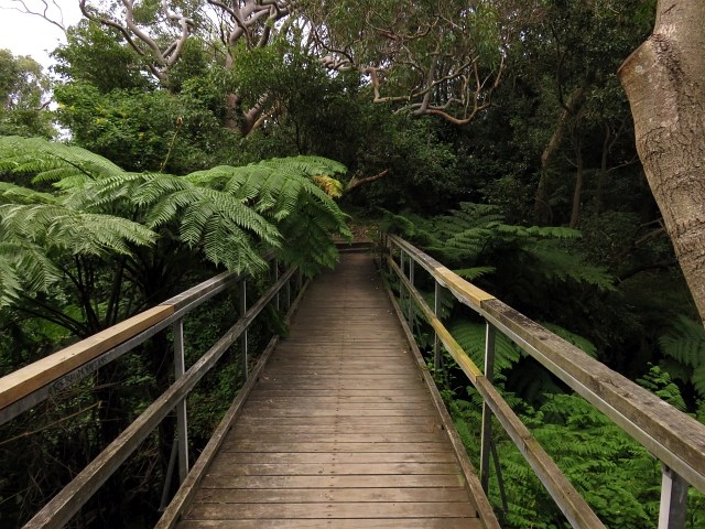
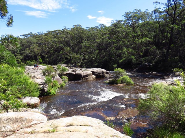
Walks in New South Wales

 7.3
km
return
7.3
km
return
 3
hrs
3
hrs
Cape Banks Circuit
This Cape Banks Circuit has a lot to offer and is thoroughly recommended. The walking travels over beaches, through coastal forest and across exposed headlands. Historically, this walk shows glimpses into the fortifications required during both World Wars. The optional side trip to the coast hospital cemetery, with over 2000 graves, is worthwhile. The Cape Banks Circuit makes for a fascinating walk, both scenically and historically, and is recommended.
 2.2
km
return
40
mins
2.2
km
return
40
mins
Cape Banks Walk
A short walk in Kamay Botany Bay National Park to Cape Banks at the head of Botany Bay.
500
m
return
20
mins
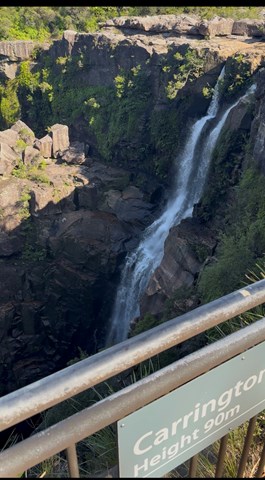
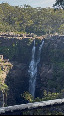
Carrington Falls Circuit
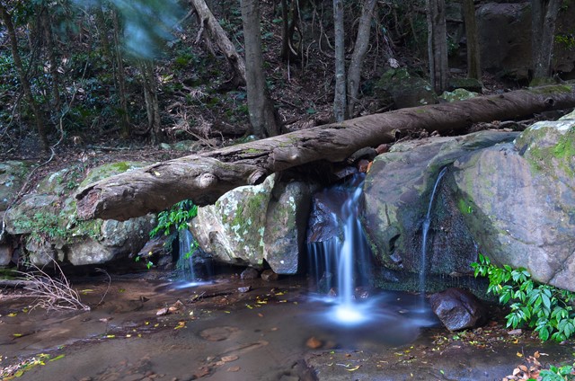
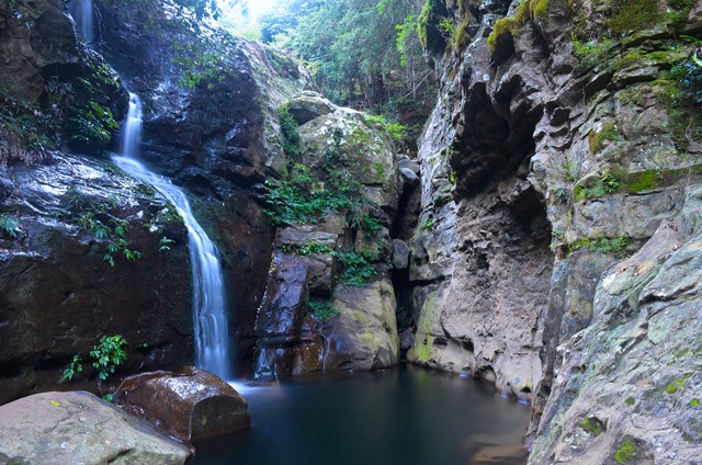
With its cascades, waterholes and rockpools, some regard Carrington Falls, where the Kangaroo River plunges over 50m to the gully below, as the most beautiful on the South Coast. Head to Carrington Falls picnic area, also known as Thomas Place, in the park’s north west to see for yourself and there’s a good chance you’ll agree.
Feeling energetic? From the picnic area you’ll find a variety of walking tracks that take you to a series of lookouts fronting the magnificent falls. Be sure to take the short walk along Izzards lookout track to enjoy another spectacular view. For longer walks head to the nearby Nellies Glen picnic area where you can choose from Warris Chair lookout track or Missingham lookout track for views over Carrington Falls Gorge.
After a more relaxed experience? Enjoy a picnic lunch as you listen to the distant crash of the falls or take a snooze in the shade.
 4
km
return
2
hrs
4
km
return
2
hrs
Cascade Track
Short listed walk on a made track to a waterfall. Steep on unmade trail afterwards to more waterfalls.
 1
km
return
20
mins
1
km
return
20
mins
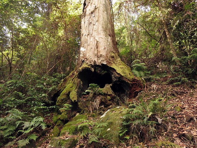
Cathedral of Ferns Giant Tree
From the Cathedral of Ferns campsite head North across Mt Irvine Road and follow the short loop through rainforest before returning.
840
m
return
15
mins
Cattai Wetlands Forest Loop
A short walk through the forest near the Cattai Wetlands.
1.1
km
return
20
mins
Cattai Wetlands Lookout Loop
A side track off the Cattai Wetlands Loop Track which gives views over the area including the Three Brothers Mountains to the north.
2.2
km
return
1
hr
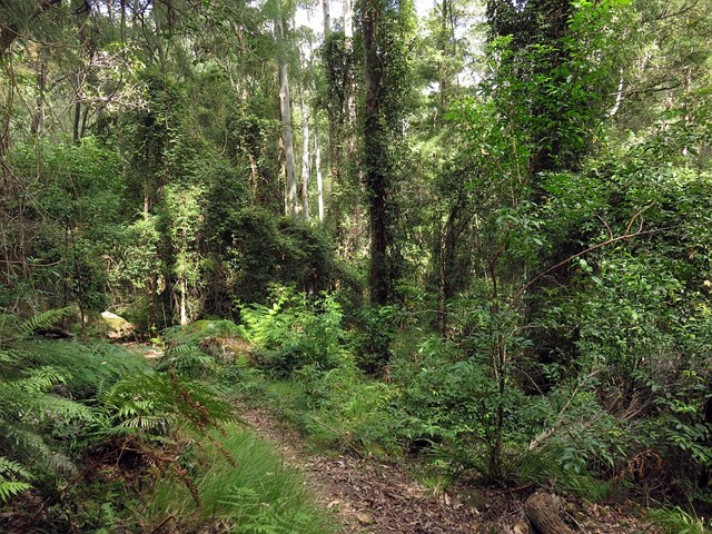
Cattai Wetlands Loop
Cattai Wetlands was once farmland suffering from the effects of land clearing, but was purchased by council with a view to restoring the ecosystem to what it should be. This is a walk around the wetland.
9.7
km
one-way
4.5
hrs
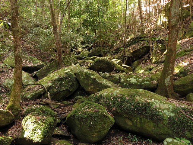
Cedar Brush to Basin Campsite (GNW)
This section of the Great North Walk makes a good walk to a comfortable campsite, with the section along the Lyrebird Trail by the Wollombi Brook being particularly recommended. From the Cedar Brush track head, the walk winds up into the Olney State Forest through bushland (crossing over two moist gullies). Once most of your height is gained, this walk follows unsealed road before dropping down into the Wollombi Brook gully. From here, the walk follows bush tracks along Lyrebird Trail and to the Basin Campsite