
Cedar Brush to Basin Campsite (GNW)
New South Wales


Menu
GPS Tracks
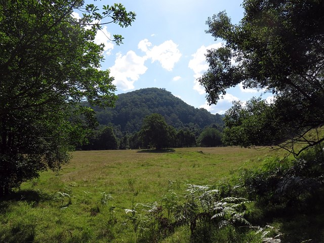
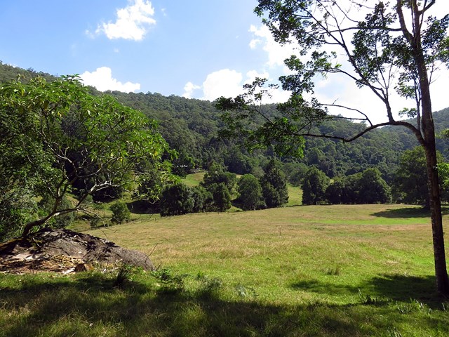
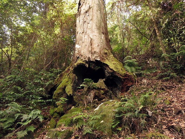
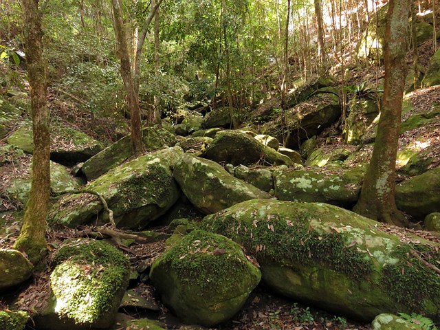
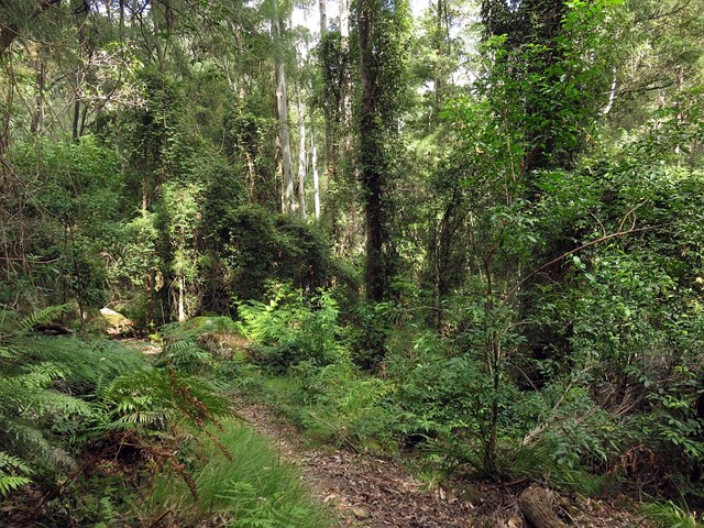
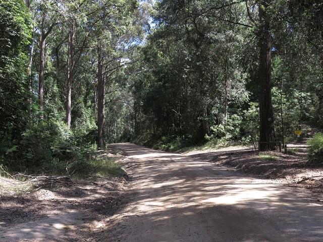
This section of the Great North Walk makes a good walk to a comfortable campsite, with the section along the Lyrebird Trail by the Wollombi Brook being particularly recommended. From the Cedar Brush track head, the walk winds up into the Olney State Forest through bushland (crossing over two moist gullies). Once most of your height is gained, this walk follows unsealed road before dropping down into the Wollombi Brook gully. From here, the walk follows bush tracks along Lyrebird Trail and to the Basin Campsite

Getting there
Start at the Great North Walk trackhead (around 783) Brush Creek Rd, Bucketty NSW.
Maps
Which maps cover the area?
Route/Trail notes
See link below or attached GPS for more info.
Permits/Costs
NIL
Other References
http://www.wildwalks.com/bushwalking-and-hiking-in-nsw/watagans/cedar-brush-to-basin-campsite.html
 Cedar Brush to Basin Campsite (KML)
 9.7
9.7 4.5
4.5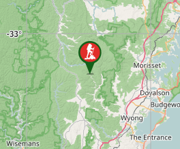
Comments