
Menu
Popular Walks
-
The Needles Walk
(13 ticks) -
Dandahra Crags Walk
(8 ticks) -
Little Dandahra Creek Walk
(5 ticks) -
Anvil Rock Walk
(5 ticks) -
World Heritage Walk
(4 ticks)
Parent Regions
Summary
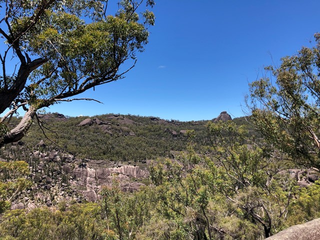
Nestled between Grafton and Glen Innes, Gibraltar Range National Park has a diverse set of features including world heritage listed rainforest and spectacular granite boulders.
Popular Walks
-
The Needles Walk
(13 ticks) -
Dandahra Crags Walk
(8 ticks) -
Little Dandahra Creek Walk
(5 ticks) -
Anvil Rock Walk
(5 ticks) -
World Heritage Walk
(4 ticks)
Parent Regions
History
Any interesting history for the region?
Features
What are the standout bushwalking features?
Access
The park can be found from either Glen Innes or Grafton off the Gwydir Highway.
Maps
The following 1:25000 maps cover the park:
- Cangai 9338-I-N (for the central section of the park)
- Glen Elgin 9338-IV-N (for the western section of park)
- Coombadjha 9339-II-S (for the northern section of park)
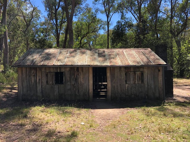
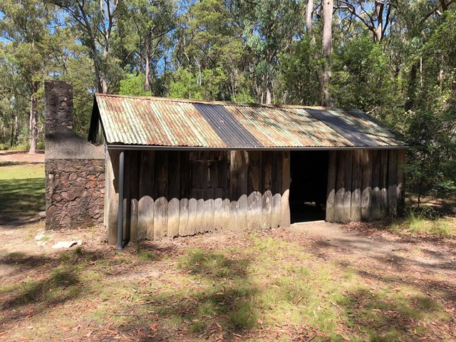
Accommodation
Camping
Camping is available at both Mulligans Camping Ground and Boundary Falls. Details are on the NSW DECC website
Other
Contact details
NSW DECC - http://www.environment.nsw.gov.au/NationalParks/parkCamping.aspx?id=N0012
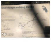
Walks in Gibraltar Range National Park

 4
km
return
4
km
return
 2
hrs
2
hrs
Anvil Rock Walk
Anvil Rock walking track, in Gibraltar Range National Park, is a hiking route with scenic views and exploring the granite landscape surrounding
 6
km
return
2.5
hrs
6
km
return
2.5
hrs
Dandahra Crags Walk
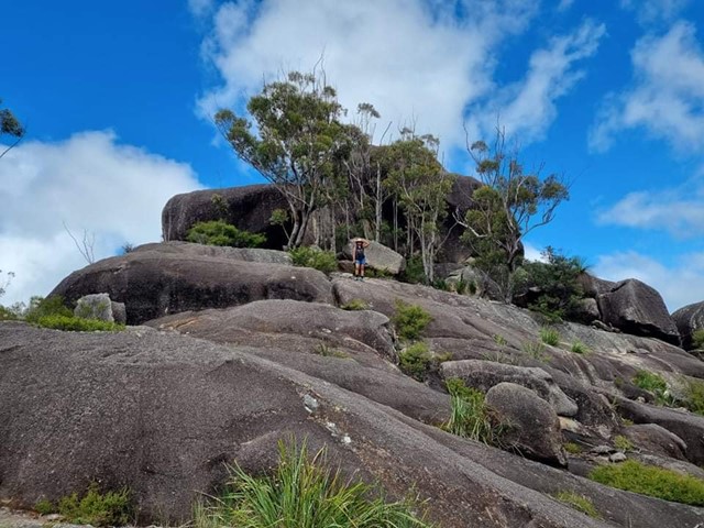
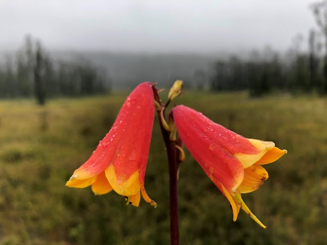
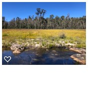
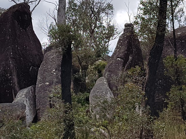
With its crags and swamps, Dandahra Crags walking track is a unique track within Gibraltar Range National Park. Through spring and summer, the wildflowers are on display around Surveyors Swamp, which the track skirts. In winter, get up early and watch the sun rise over the frost-covered swamp from the top of the crags. You’ll be rewarded for your efforts. Bring your camera along to record the experience. The area, with its montane swamps, huge granite outcrops and wildflowers, is quite a photographer’s paradise. Binoculars will also come in handy for birdwatching.
Dandahra Crags walking track is great for people looking for a moderately-challenging hike with a bit of a climb at the end. Pack a picnic lunch and enjoy the scenic views out towards Raspberry lookout and Mann River Valley from the top of the crags.
 13
km
return
4
hrs
13
km
return
4
hrs
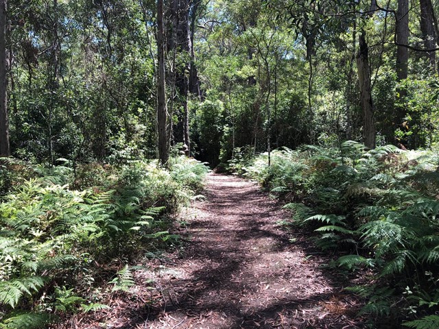
Little Dandahra Creek Walk
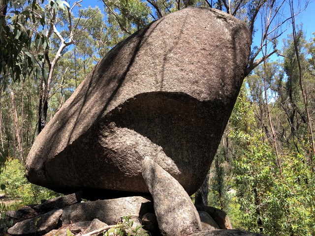
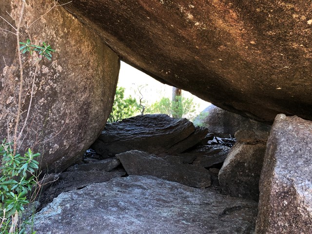
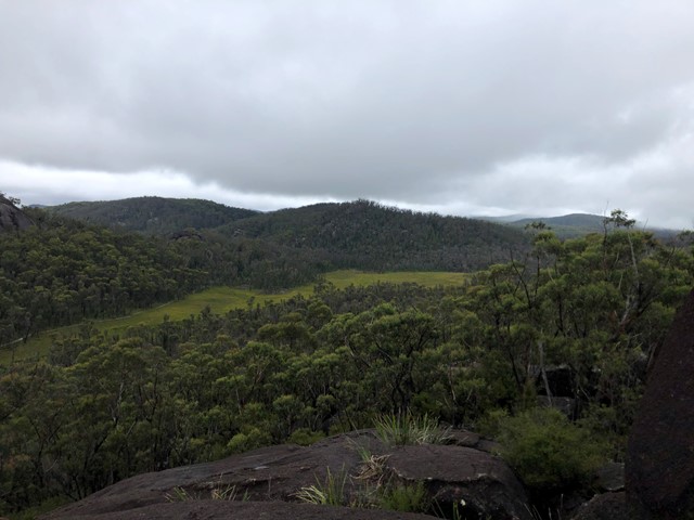
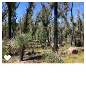
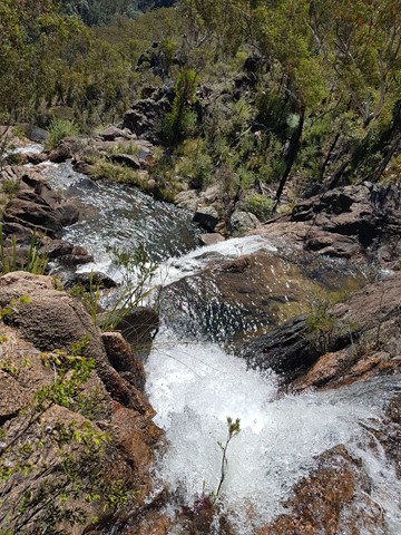
13km relatively easy return walk (Grade 3). Can be started at the Dandahra picnic area car park, or drive on to Mulligan's campground and start the walk from there. We parked at the Dandahra picnic area which is just off the highway. This is a lovely track which follows the beautiful flowing Dandahra Creek. Plenty of spots to dip your toes in. Bring a hat on this walk as there isn't much tree cover, this area has been affected by bush-fires last year and is regenerating. There are interesting boulder formations along the way. This walk is largely flat with only a few steeper sections, overall it is an easy 13km return. Mulligan's campground is a great spot for lunch.
From Parks NSW website; "Little Dandahra Creek walking track is the ideal way to get acquainted with the landscape of Gibraltar Range National Park. This superb walking track leads you past enormous granite outcrops, through montane heathlands and alongside pristine waterways. Take a break and soak in the cool running waters and natural pools of Little Dandahra Creek, where you’ll feel dwarfed by the magnificent rocky landscape. Keep your binoculars close for birdwatching, there are many birds that feed and breed in the area.
This track is great for those looking to go hiking for the first time as it is quite an easy day’s trek. Mulligans campground awaits you at the other end where you can set up a tent and put the billy on to boil."
 6
km
2.5
hrs
6
km
2.5
hrs
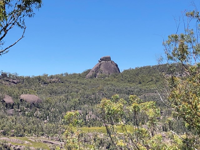
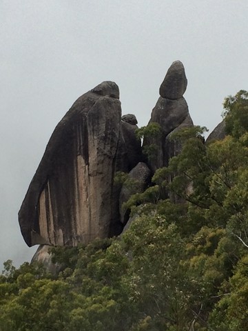
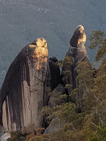
The Needles Walk
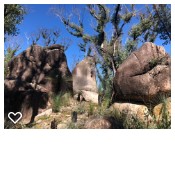
Look out over six spectacular granite columns rising out of Dandahra Gorge.
 45
km
return
4.5
days
45
km
return
4.5
days
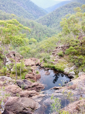
World Heritage Walk
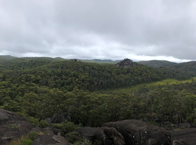
The heritage loop walk can be joined and exited at numerous points along its length. A range of flora from sub alpine to temperate rainforest and heath. Wildflowers displays are prolific. Reptiles are numerous. Many granite outcrops to explore with the Haystack and Dandahra Crags being two of the best. The distance stated does not include side trips. Plenty of creeks and swimming holes.