
Menu
Popular Walks
-
West Rim Track
(6 ticks) -
Pigeonhouse Mountain
(4 ticks) -
Lovers Walk
(3 ticks) -
The Castle
(3 ticks) -
East Rim Track (Full)
(3 ticks)
Parent Regions
Summary
Found in Regional NSW near Bundanoon.
Popular Walks
-
West Rim Track
(6 ticks) -
Pigeonhouse Mountain
(4 ticks) -
Lovers Walk
(3 ticks) -
The Castle
(3 ticks) -
East Rim Track (Full)
(3 ticks)
Parent Regions
History
Any interesting history for the region?
Features
What are the standout bushwalking features?
Access
How do you get there? Include all access points if there are many?
Maps
NSW, National Parks and Wilfelife Service: https://www.nationalparks.nsw.gov.au/-/media/npws/maps/pdfs/parks/morton-national-park/morton-national-park-map.pdf
Accommodation
Where can I stay there? or near there?
Camping
Other
Contact details
NSW, National Parks and Wildlife Service: https://www.nationalparks.nsw.gov.au/visit-a-park/parks/morton-national-park
Walks in Morton National Park

 1
km
return
1
km
return
 30
mins
30
mins
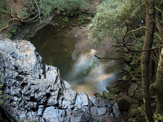
Barrengarry Creek Falls
A nice little walk to a cute waterfall and swimming hole.
 15
km
return
8
hrs
15
km
return
8
hrs
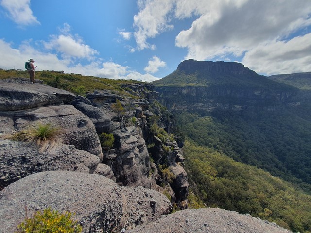
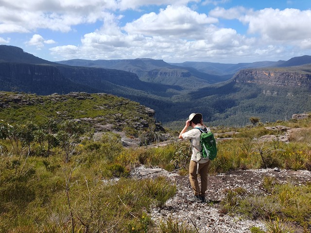
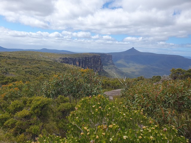
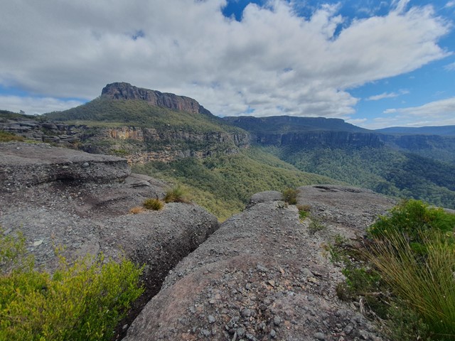
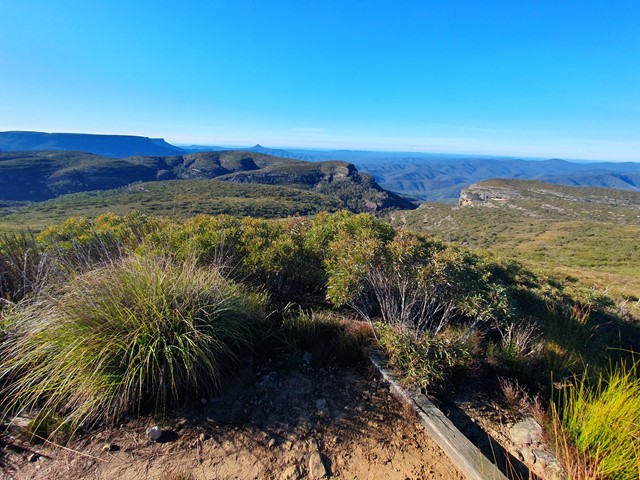
Byangee Mountain and Pickering Point
A full day hike and scramble up one of the lesser known mountains in the Budawangs which hosts amazing views of the Castle and Pigeonhouse Mountain.
 24
km
return
8
hrs
24
km
return
8
hrs
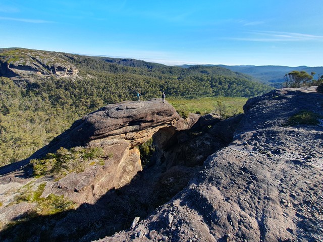
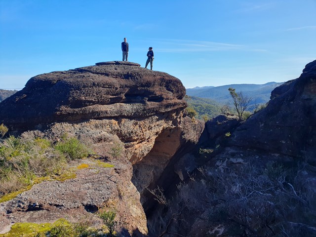
Corang Peak
A long yet relatively easy going day walk that includes Corang Peak, Corang Arch and Corang river.
 7
km
return
2.5
hrs
7
km
return
2.5
hrs
East Rim Track (Full)
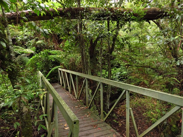
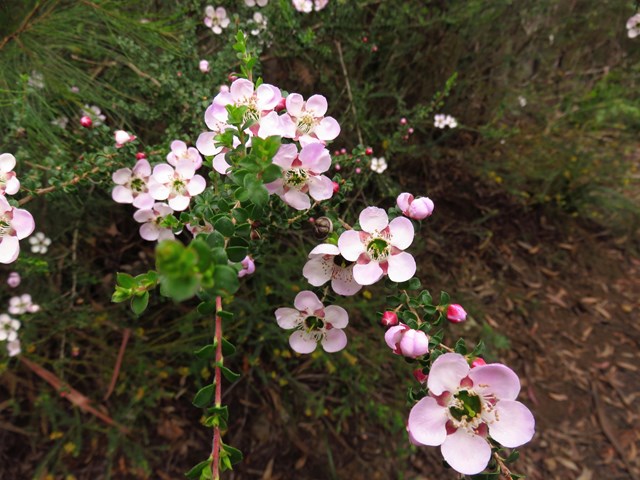
Running from Fitzroy Falls Visitor Centre to Warrawong lookout in the northern section of the park, this self-guided wildflower walk is a nature-lover’s dream. (You can also combine this trac with the West Rim track to make a longer walk - the East Rim track is the less busy/popular option, and not as spectacular as the West Rim Track).
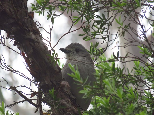
Offering a delightful excursion through diverse native plants and trees, the East Rim Wildflower walking track is both scenic and informative. Spot the colourful flowers as you roam the track past a cornucopia of plant communities including dry eucalypt forests, grassy woodlands, heathlands and rainforest areas just bursting with birds. You’ll encounter spectacular lookouts with views over the valley as you go, along with helpful signs pointing out interesting flowers, useful hints and details on changing environment.

 2.25
km
return
45
mins
2.25
km
return
45
mins
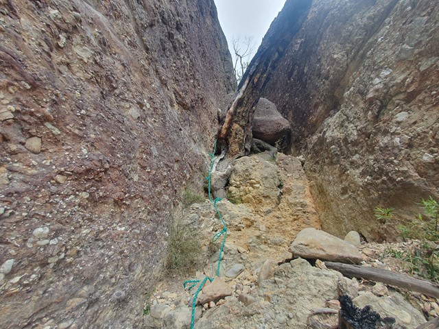
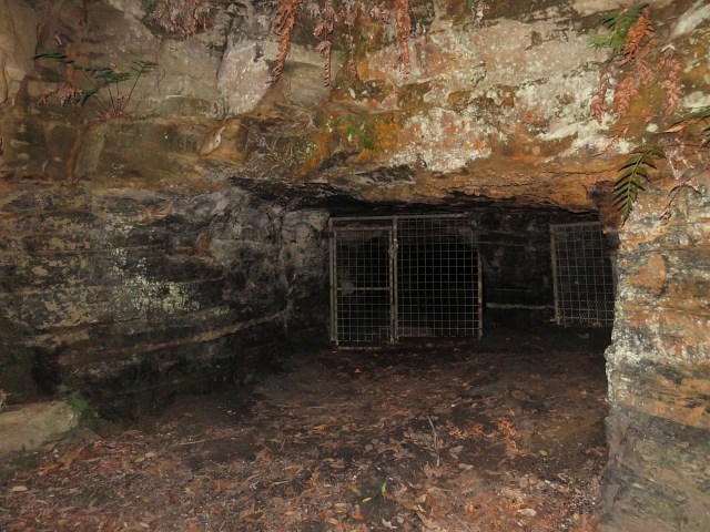
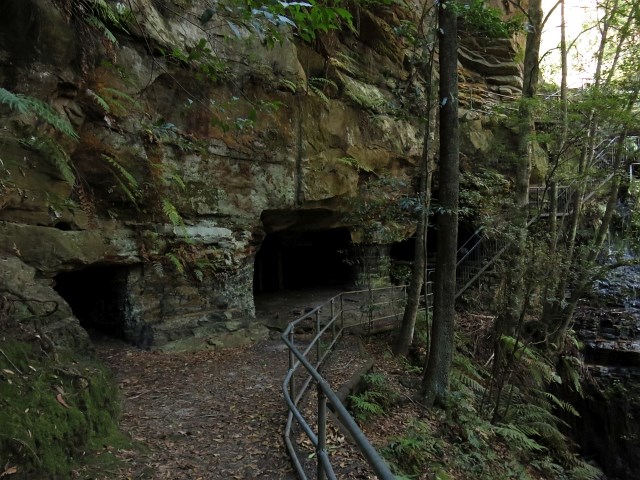
Erith Coal Mine Track
This short, steep walk through woodland, heath and rainforest leads to a mine that was open from the 1860s to 1915. The metre thick coal seam was of poor quality and only used for goods engines. For safety reasons, fencing prevents entry to the mine. This walk can also be undertaken from the Erith Coal Mine car park off Echo Point Road.
 2.5
km
return
90
mins
2.5
km
return
90
mins
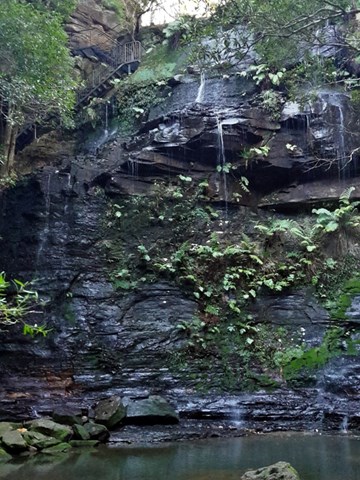
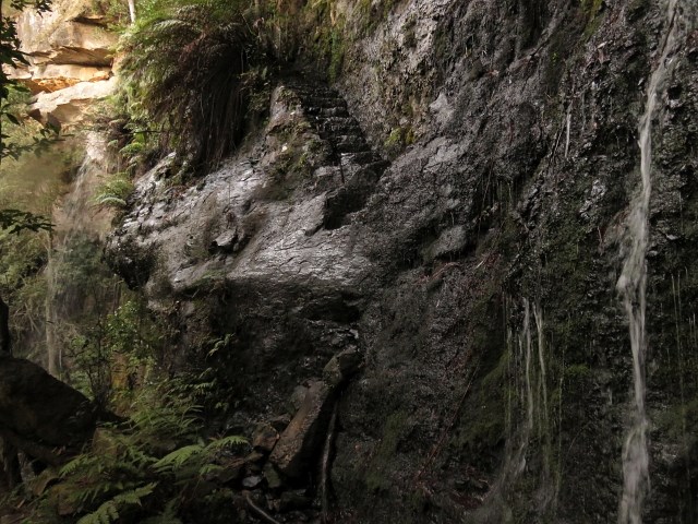
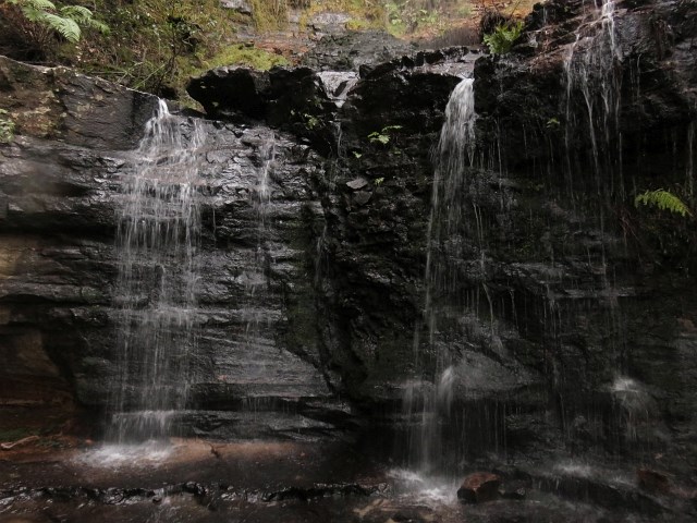
Fairy Bower Falls Walk
This walk will take you to top viewing platform of the falls and below. The way down is a bit steep in areas but well worth the effort. Once you reach the base of the falls you will be rewarded with lush green area with water flowing over the cliffs and into the rock pool.
 600
m
return
15
mins
600
m
return
15
mins
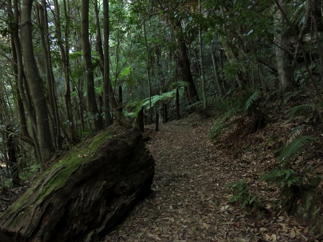
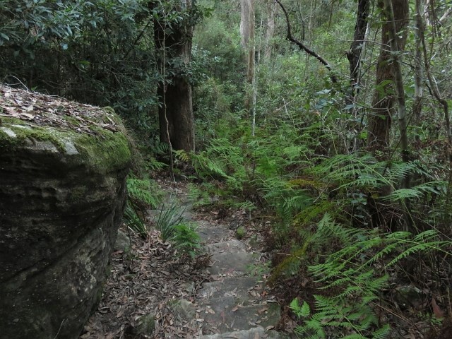
Fern Glen Track
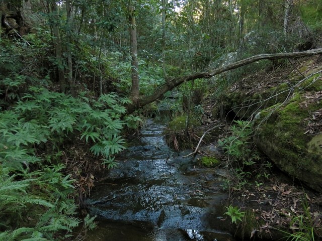
This short walk leads to a moist, rocky haven – home to some gigantic king ferns and other moisture-loving plants.
 3.4
km
return
70
mins
3.4
km
return
70
mins
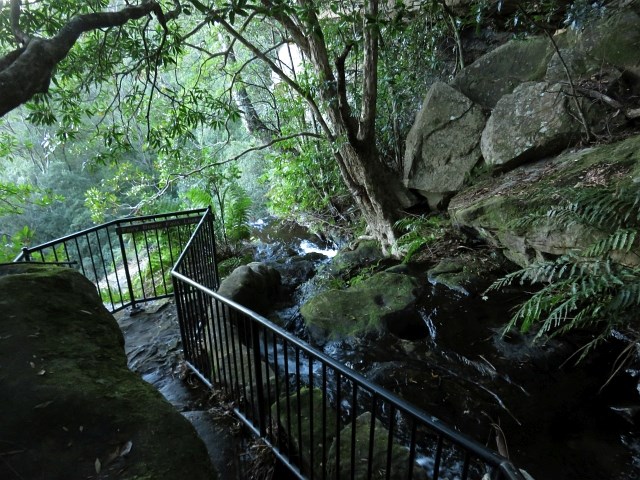
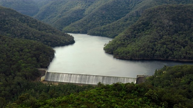
Lake Yarrunga view
Views of the stored water above Tallowa Dam.
This walk is part of the Three Views Trail which has to be one of the easiest, most accessible and rewarding walks in Kangaroo Valley. The trail passes through open woodland and sandstone heath vegetation with spectacular wildflower displays in late winter and spring. There are three separate cliff edge sites with dramatic views over the Shoalhaven gorge towards the Ettrema Wilderness. The trail follows the Brooks Plateau and Moolatoo Trig fire trails within Morton National Park and is virtually flat, making it ideal for people of all ages and fitness levels; however, there are unfenced cliff edges. You can spend one or two hours doing the shorter walks or spend most of the day exploring all three.