
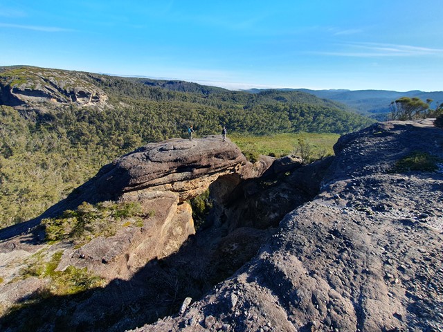
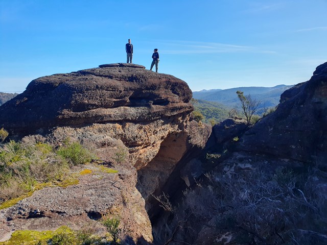
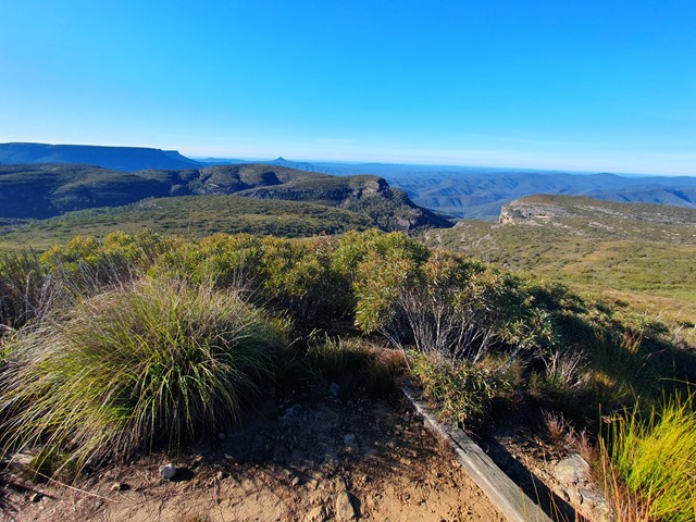
Corang Peak
Morton National Park


Menu

A long yet relatively easy going day walk that includes Corang Peak, Corang Arch and Corang river.

Getting there
Set your GPS to the Wog Wog Camping Ground. You will find lots of parking a signpost displaying all the highlights of the walk.
Route/Trail notes
The walk is essentially a giant lollipop shaped track with a roughly 1hr walk to get to the loop where you will encounter all the major highlights of the walk. The walk to Corang Peak is about another 90mins on from the junction and has fantastic views of the Budawang region. Continuing on you will have to keep an eye out to the left cause around 20mins from there you will walk past the Corang Arch. This is well worth a look and taking some time to explore. Back on the main trail it starts to become a little more navigationally tricky. There are a few tracks that pop up that if you're not paying attention could send you way off into the middle of the Budawangs in the wrong direction. In saying that the track is fairly clear and will lead you to the next highlight - the Coorang river. If you go after rain you will get some really great photos of the river and waterfalls. Onwards from here it is still nice undulating terrain with good views out to the river. The track can be a challenging to follow at times but if you are armed with a GPS or some moderate navigational abilities you should be fine. Eventually you will reach a fence blocking access to the lagoon camp-site, there is a diversion in place marked with frequent ribbons that avoids the private property and takes you back to the main track. From there a short walk back to the junction then back the way you came.
Permits/Costs
Free
Other References
https://mntviews.blogspot.com/search/label/Australia%20NSW%20Budawangs%20-%20Corang%20Peak
GPS Tracks
- No GPS available for this walk yet.
 24
24 8
8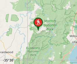
Comments