
Menu
Popular Walks
-
Blue Gum Loop Track
(6 ticks) -
Careys Peak via the Corker Track
(5 ticks) -
Polblue Swamp Track
(5 ticks) -
Devil's Hole Lookout
(3 ticks) -
Rocky Crossing Track
(3 ticks)
Parent Regions
Popular Walks
-
Blue Gum Loop Track
(6 ticks) -
Careys Peak via the Corker Track
(5 ticks) -
Polblue Swamp Track
(5 ticks) -
Devil's Hole Lookout
(3 ticks) -
Rocky Crossing Track
(3 ticks)
Parent Regions
Walks in Barrington Tops National Park

 2.5
km
return
2.5
km
return
 90
mins
90
mins
Antarctic Beech Track
A loop track that passes through large stands of Antarctic Beech and fern filled gullies.
 3.5
km
return
90
mins
3.5
km
return
90
mins
Blue Gum Loop Track
An easy loop track in the Williams River area of Barrington Tops National Park that takes you over a couple of bridges that cross the William's River as well as a small water hole.
1
km
one-way
30
mins
Burraga Swamp Track
A lovely walk in Barrington Tops National Park southern section through an Antarctic Beech and fun forest leading to a swamp.
20
km
return
5
hrs
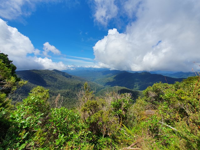
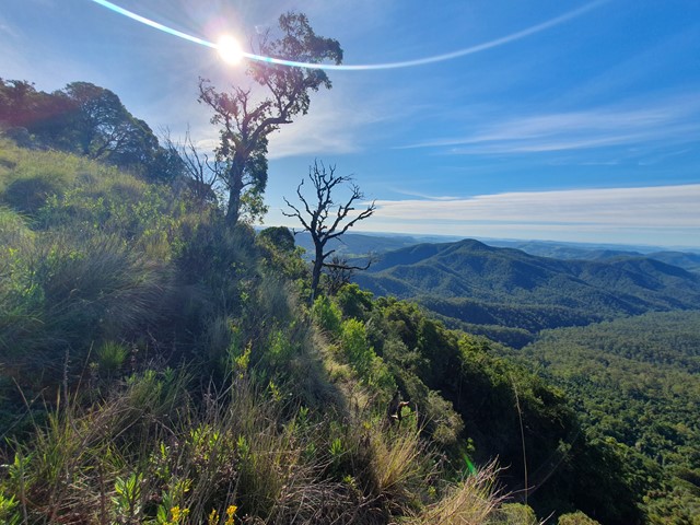
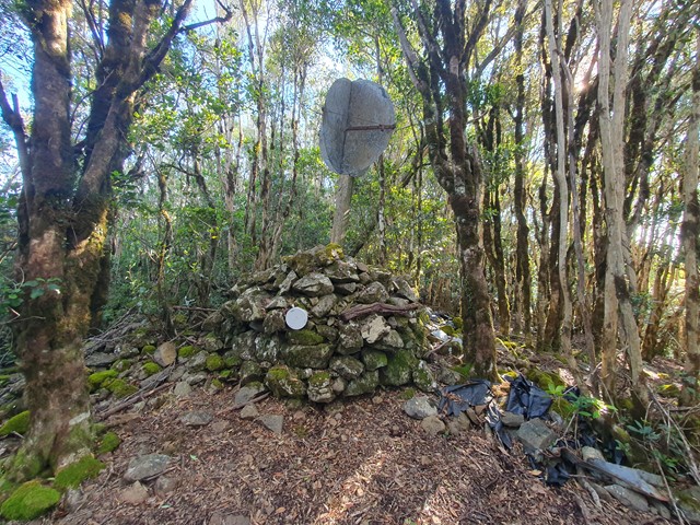
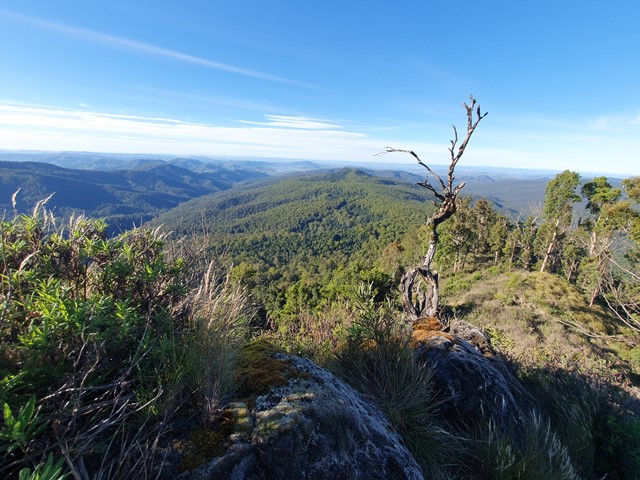
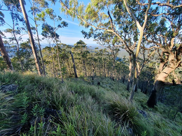
Careys Peak via the Corker Track
A steep track in The southern section of Barrington Tops National Park that takes you to an intersection with the Barrington Tops Link Track, a track that runs across the top of the range. This track is also used to access Careys Peak.
 100
m
return
10
mins
100
m
return
10
mins
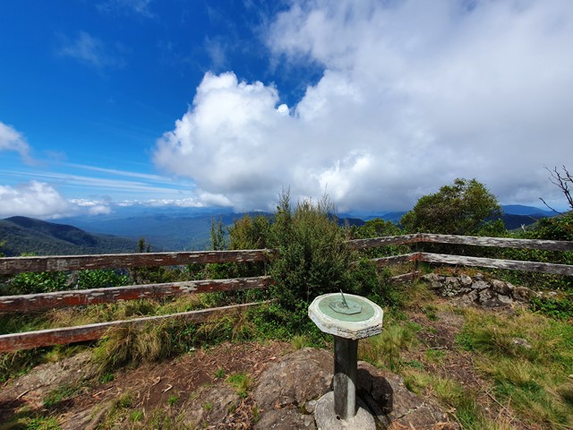
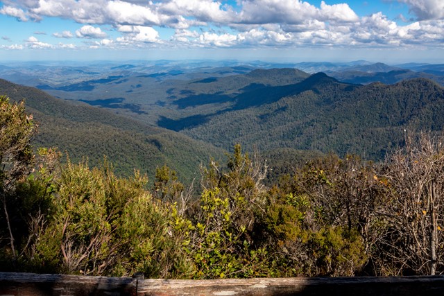
Devil's Hole Lookout
A short walk to a breathtaking view over Barrington Tops National Park.
 1.5
km
return
1
hr
1.5
km
return
1
hr
Gloucester Falls Walk
A loop track in the Gloucester Tops section of Barrington National Park that takes you to a lookout over the Gloucester Falls.
2.5
km
return
1
hr
Gloucester River Track
A track following the eastern side of the Gloucester River through dry rain forest.
2
km
one-way
1
hr
Jerusalem Creek Track
A walk through dry rainforest near Jerusalem Creek, in the southern part of Barrington Tops National Park.
2.7
km
return
2.5
hrs
Mt Royal
A short but steep ascent up Mt Royal - the namesake of the Mt Royal National Park just south of the Barrington Tops.