
Menu
Popular Walks
-
Blue Gum Loop Track
(6 ticks) -
Careys Peak via the Corker Track
(5 ticks) -
Polblue Swamp Track
(5 ticks) -
Devil's Hole Lookout
(3 ticks) -
Rocky Crossing Track
(3 ticks)
Parent Regions
Popular Walks
-
Blue Gum Loop Track
(6 ticks) -
Careys Peak via the Corker Track
(5 ticks) -
Polblue Swamp Track
(5 ticks) -
Devil's Hole Lookout
(3 ticks) -
Rocky Crossing Track
(3 ticks)
Parent Regions
Walks in Barrington Tops National Park

 3.7
km
return
3.7
km
return
 1
hr
1
hr
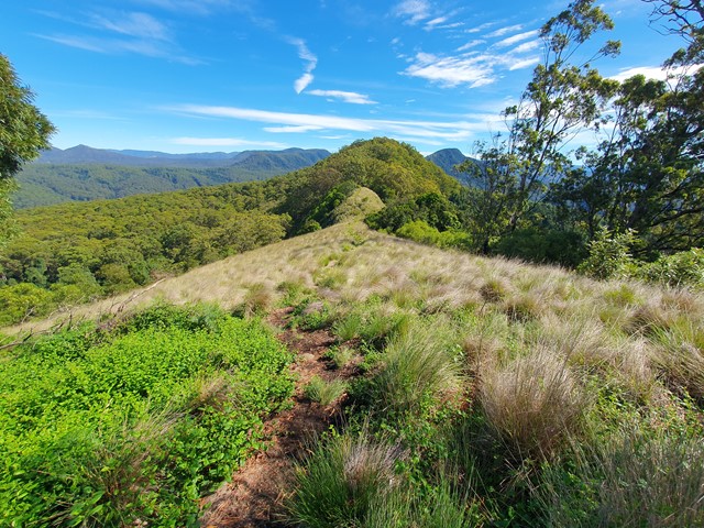
Pieries Peak
A nice short and relaxing stroll up to the top of Pieries Peak in the Mt Royal National Park to get some great views of the surrounding range.
 400
m
return
20
mins
400
m
return
20
mins
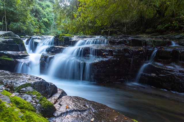
Polblue Falls
A short walk in the northern section of Barrington Tops National Park to a lookout over the picturesque Polblue Falls.
3
km
return
1
hr
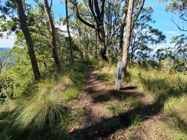
Polblue Swamp Track
A lovely walk around a Swamp that drains into streams throughout the Barrington Tops National Park bringing nourishment to the flora and fauna downstream.
2.5
km
one-way
1
hr
River Track
A walk in the Gloucester Tops section of Barrington National Park that follows the Gloucester River passing through through sections of sub Alpine swamp.
16
km
return
5
hrs
Rocky Crossing Track
A beautiful track through rain forest in the Williams River section of Barrington Tops National Park that includes side tracks to the river as well as a huge Strangler Fig.
 4.5
km
return
2
hrs
4.5
km
return
2
hrs
Sharpes Creek Track
A walk through rainforest in the eastern section of Barrington Tops National Park from the Gloucester River Camping Area to the top of the hill and back via the road.
400
m
one-way
20
mins
Thunderbolt's Lookout
This is a short walk to a lookout over the escarpment in the northern section of Barrington Tops National Park.