
Pieries Peak
Barrington Tops National Park


Menu
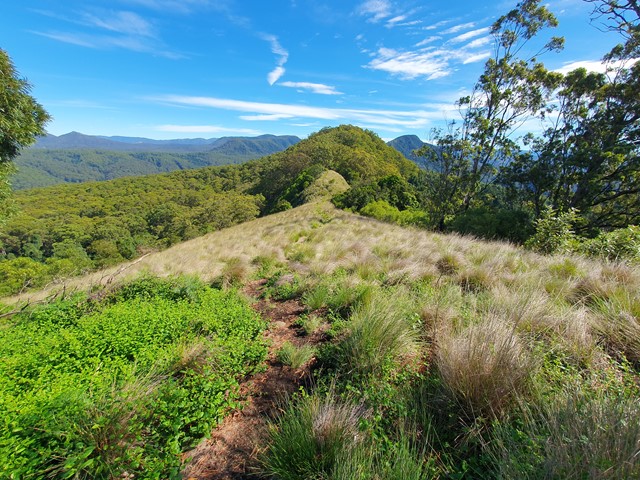
A nice short and relaxing stroll up to the top of Pieries Peak in the Mt Royal National Park to get some great views of the surrounding range.
Bird Watching
Picnic Facilities
Camping Permitted
Rainforest
950m
Maximum Elevation

Getting there
Set your GPS to the Youngville Camping Area Mt Royal National Park. When you arrive you will find plenty of parking and signs directing you to the track. The road is in good condition and so long as it's dry most 2wds won't have any issues with it.
Route/Trail notes
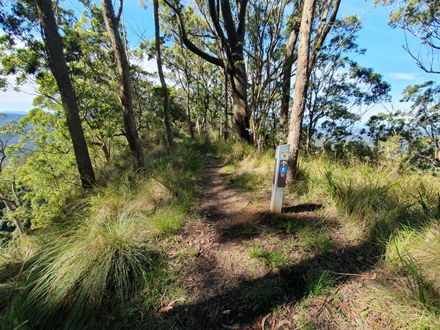
Easy well marked tracked to the top of the peak where you will be rewarded with excellent views - matching the nearby (and much less well marked) Mt Royal. The best views are at the top however the track keeps going getting fainter as it goes along.
Permits/Costs
Nil Cost
Other References
https://www.alltrails.com/explore/trail/australia/new-south-wales/pieries-peak-walking-track
GPS Tracks
- No GPS available for this walk yet.
 3.7
3.7 1
1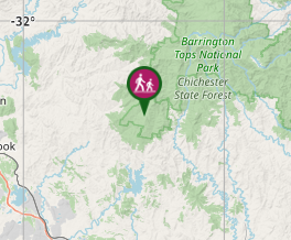
Comments