Menu
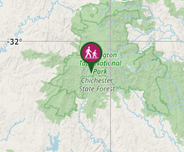
A lovely walk in Barrington Tops National Park southern section through an Antarctic Beech and fun forest leading to a swamp.
Getting there
This track begins at a car park on a side track 1.5km before the Mount Allyn lookout at the end of the Mount Allyn Forest Road. Most of the roads in this area don't have signs so take care. Follow Salisbury Road, from Dungog, taking care when the road turns left not to continue straight ahead to Chichester Dam. Follow this road all the way until it turns to dirt. At this point, there is a choice of three dirt roads that you can take. Take the one on the left which is William's Top Road. There is a sign but it's not easy to see. Follow this until it turns sharply to the left. You could easily take the side road here leading to The Corker Track as it goes straight ahead, but this is the wrong road. Take the bend and follow it all the way to a T intersection. Turn left. Then take the first road on the right. There is no sign but this should be Mt Allyn Forest Road. There is a sign opposite a road several kilometres up the road that will give you peace of mind that you're heading in the right direction. It's still a fair way to go, but once you've seen that sign you can't get lost, even if you miss the side road and end up all the way at the lookout. It's a great view.
Maps
Which maps cover the area?
Route/Trail notes
This track is fairly flat and easy, taking you through a maze of ferns. Take care not to lose track of the path, and also be aware of stinging nettles along the way. Return by the same path.
Permits/Costs
No cost
How can I find more info? Any guide books?
GPS Tracks
- No GPS available for this walk yet.


 1
1 30
30
Comments