


Menu
This is a short walk to a lookout over the escarpment in the northern section of Barrington Tops National Park.
Lookouts

Getting there
On the Barrington Forest Road between Gloucester and Scone, between the Honeysuckle Picnic Area and Devil's Hole Lookout
Maps
Which maps cover the area?
Route/Trail notes
Simply take the path in the picnic area and follow it to a man-made lookout.
Permits/Costs
No cost
Other References
How can I find more info? Any guide books?
GPS Tracks
- No GPS available for this walk yet.

Easy
 400m one-way
 20mins
Lookouts
Where
Click here to load this map.
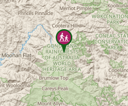 Map data © OpenStreetMap contributors. Terrain: © Geoscience Australia.
Comments