
Menu
Popular Walks
-
Bald Rock Summit
(113 ticks) -
Bungoona Walk
(24 ticks) -
Little Bald Rock
(20 ticks) -
Border Walk Loop
(9 ticks) -
Carrolls Creek Loop
(1 tick)
Parent Regions
Summary
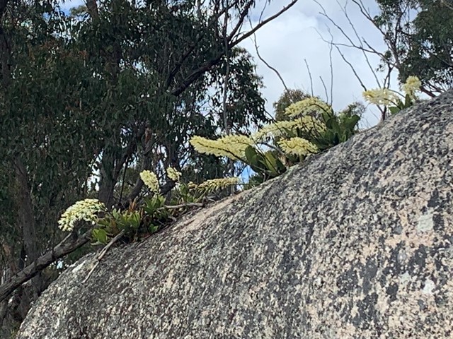
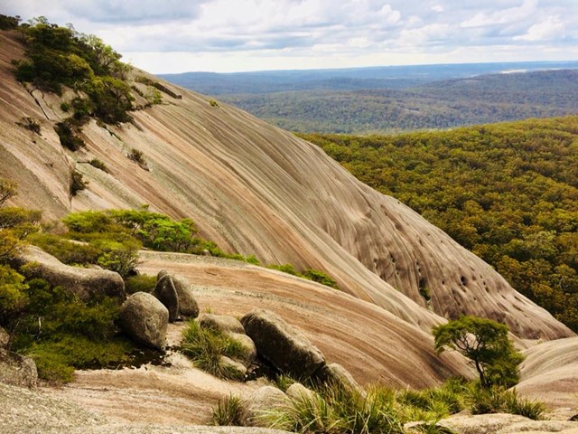
Bald Rock National Park covers some 75 square kilometres of spectacular granite outcrops. The park adjoins the Queensland's Girraween National Park.
Popular Walks
-
Bald Rock Summit
(113 ticks) -
Bungoona Walk
(24 ticks) -
Little Bald Rock
(20 ticks) -
Border Walk Loop
(9 ticks) -
Carrolls Creek Loop
(1 tick)
Parent Regions
History
Any interesting history for the region?
Features
What are the standout bushwalking features?
Access
How do you get there? Include all access points if there are many?
Maps
Which maps cover the region?
Accommodation
Where can I stay there? or near there?
Camping
Other
Contact details
Contact details for National Park offices or similar...
Walks in Bald Rock National Park

 2.9
km
return
2.9
km
return
 90
mins
90
mins
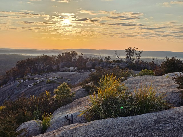
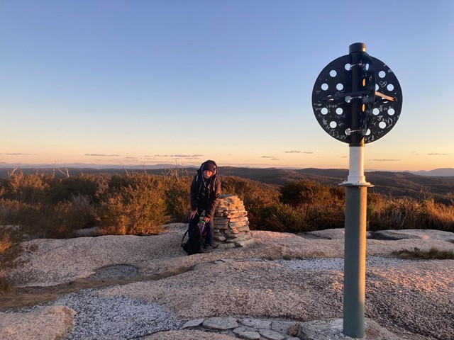
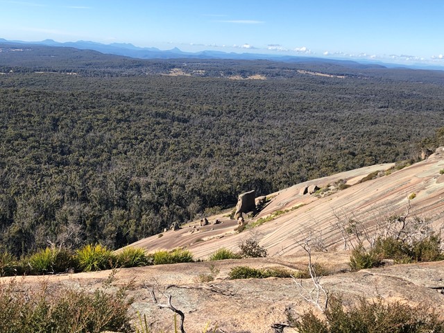
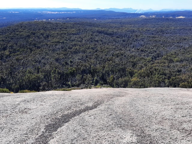
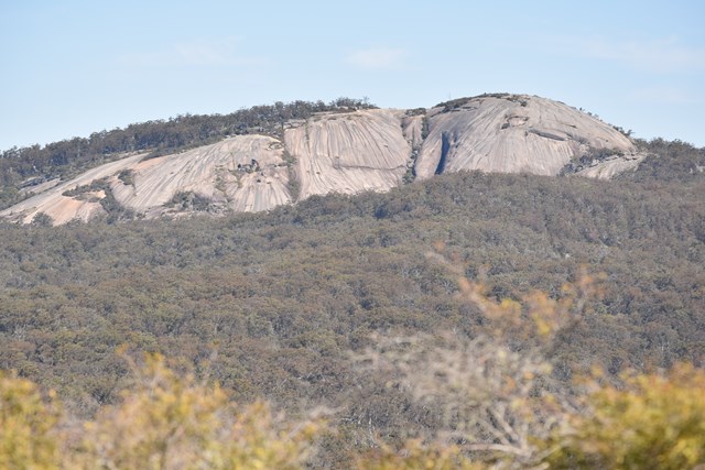
Bald Rock Summit
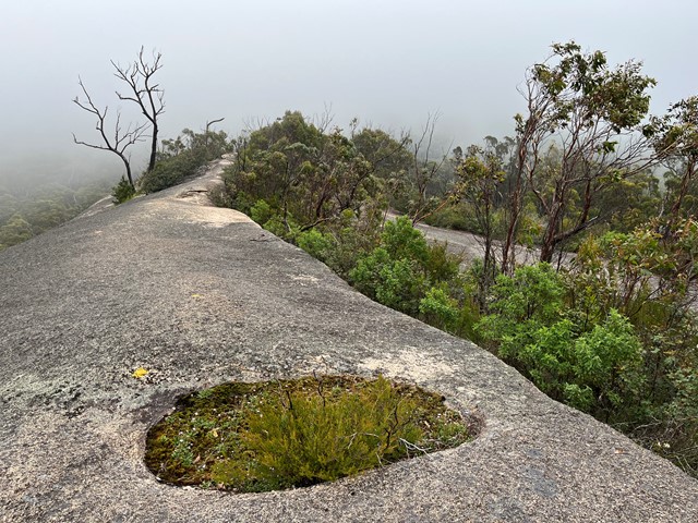
Bald Rock is the largest granite monolith in Australia, situated near the Queensland - New South Wales Border just north of Tenterfield. The relatively short walk provides great views of surrounding Bald Rock National Park and neighbouring Girraween National Park.
 14.2
km
return
3.5
hrs
14.2
km
return
3.5
hrs
Border Walk Loop
Easy walk along the New South Wales and Queensland border.
 5.4
km
return
90
mins
5.4
km
return
90
mins
Bungoona Walk
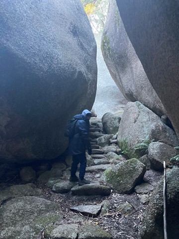
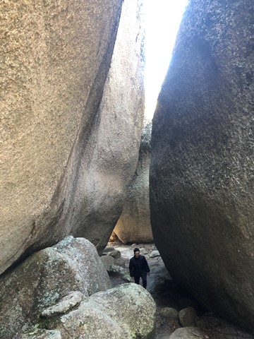
Take a more gentle walk up the eastern side of Bald Rock through the ‘cairn garden’ and The Arches to meet up with the main track to the summit of Bald Rock.
 19.7
km
return
4.5
hrs
19.7
km
return
4.5
hrs
Carrolls Creek Loop
Trailhead at Bald Rock day use area.
Walk includes Little Bald Rock and two creek crossings (sturdy bridges). 4km are on the Bald Rock access road
 7.8
km
return
2
hrs
7.8
km
return
2
hrs
Little Bald Rock
The Little Bald Rock rewards you with scenic views across New South Wales and Queensland, as well as Bald Rock itself. This smaller granite dome provides great views of Girraween and Bald Rock National Parks.