
Menu
Popular Walks
-
Mt Ngungun
(1125 ticks) -
Mount Coolum
(855 ticks) -
Mt Cordeaux
(648 ticks) -
Twin Falls Circuit
(618 ticks) -
Purling Brook Falls Circuit
(597 ticks)
Parent Regions
Sub-Regions
- Amamoor State Forest
- Bellthorpe National Park
- Brisbane City Council Local Walks
- Brisbane Forest park D'Aguilar National Park
- Brisbane Valley Rail Trail
- Coombabah Lakelands Conservation Area
- Daisy Hill Conservation Park
- Eumundi Conservation Park
- Glass House Mountains National Park
- Glen Rock Regional Park
- Gold Coast
- Ipswich
- Jimna State Forest
- Karawatha Forest
- Kondalilla National Park
- Lamington National Park
- Main Range National Park
- Mapleton National Park
- Moggill Conservation Park
- Moogerah Peaks National Park
- Moreton Island National Park
- Mt Barney National Park
- North Stradbroke Island - Minjeeribah
- Parklands Conservation Park
- Springbrook National Park
- Sunshine Coast
- Tamborine National Park
- White Rock - Spring Mountain Conservation Estate
Summary
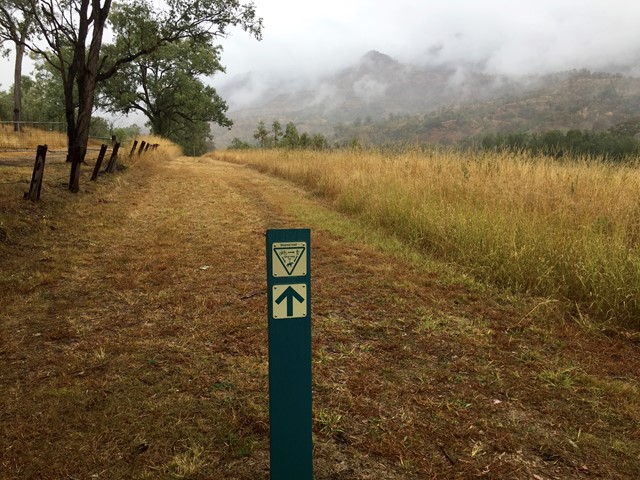
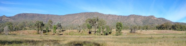
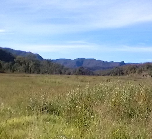
Boarding NSW and the pacific Ocean, it is not uncommon for hikes to have views of both worlds (ocean and hinterland). Hikes here are typically on the great dividing range.
Popular Walks
-
Mt Ngungun
(1125 ticks) -
Mount Coolum
(855 ticks) -
Mt Cordeaux
(648 ticks) -
Twin Falls Circuit
(618 ticks) -
Purling Brook Falls Circuit
(597 ticks)
Parent Regions
Sub-Regions
- Amamoor State Forest
- Bellthorpe National Park
- Brisbane City Council Local Walks
- Brisbane Forest park D'Aguilar National Park
- Brisbane Valley Rail Trail
- Coombabah Lakelands Conservation Area
- Daisy Hill Conservation Park
- Eumundi Conservation Park
- Glass House Mountains National Park
- Glen Rock Regional Park
- Gold Coast
- Ipswich
- Jimna State Forest
- Karawatha Forest
- Kondalilla National Park
- Lamington National Park
- Main Range National Park
- Mapleton National Park
- Moggill Conservation Park
- Moogerah Peaks National Park
- Moreton Island National Park
- Mt Barney National Park
- North Stradbroke Island - Minjeeribah
- Parklands Conservation Park
- Springbrook National Park
- Sunshine Coast
- Tamborine National Park
- White Rock - Spring Mountain Conservation Estate
History
Any interesting history for the region?
Features
What are the standout bushwalking features?
Access
How do you get there? Include all access points if there are many?
Maps
Which maps cover the region?
Accommodation
Where can I stay there? or near there?
Camping
Council Areas:
- Scenic Rim Regional
- Gold Coast City
- Logan City
- Redland City
- Ipswich City
- Lockyer Valley Regional
- Brisbane City
- Somerset Regional
- Moreton Bay Regional
- Sunshine Coast Regional
- Noosa Shire
Contact details
See Qld National parks website
Walks in South East Queensland

 3.74
km
return
3.74
km
return
 1
hr
1
hr
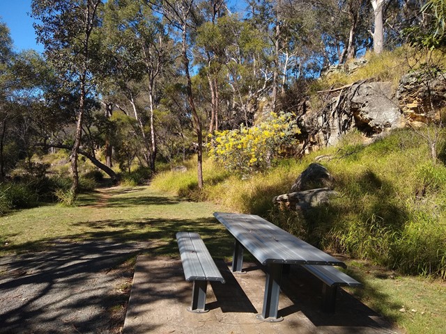
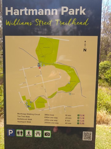
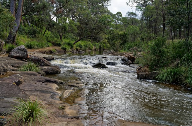
Applegum Walk and Hartmanns Park Circuit
A creek-side track connecting Bullocky's Rest Park with a network of trails through Hartmann Park in Crows Nest. Includes a short side-track to the Pump Hole, a deep waterhole that is home to long-necked turtles, and includes a small waterfall after rain.
Officially marked Grade 3/Medium (some uneven/rocky/slippery surfaces, especially after rain) this trail is manageable for walkers of most ages and fitness levels.
 2.2
km
return
30
mins
2.2
km
return
30
mins
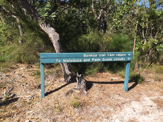
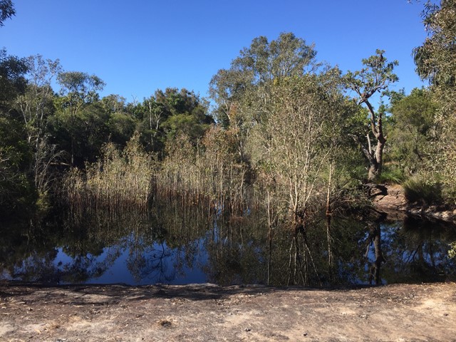
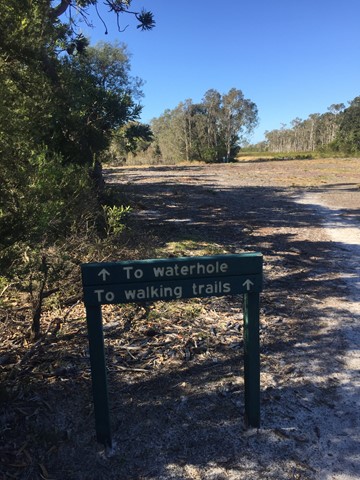
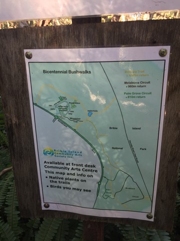
Banksia Bicentennial Bushwalk
Explore remnant wallum heathlands and spot colourful birds and other wildlife on this delightful bushwalk in a corner of the Bribie Island National Park.
 5
km
return
90
mins
5
km
return
90
mins
Bayview Conservation Area (Redland Bay)
Many trails through the bush area for walkers, bikes and horses. There are a few areas with healthy mozzie populations so be prepared!
 7
km
return
2
hrs
7
km
return
2
hrs
Birnam Range
Walk along the spine of the Birnam Range. The trail along the range stretches for 7-8kms starting in the South from the end of Monmouth Ct or the main Mundoolun Road and finishing in the North at Currawong Ct. Outlined in this walk is a section of the trail along the highest part of the range starting from and returning to Mona Dr which is one of a few additional enterance points.
16
km
return
4
hrs
Blackfellow Creek Glen Rock
An easy but longer walk. Yet no hills so the little ones can go along on this hike.
 13.5
km
return
3
hrs
13.5
km
return
3
hrs
Bracalba Running Trail
This is where the Glasshouse Mountains Parkrun is held on a Saturday morning. It's a lovely hiking area too that includes rainforest and bush surroundings. There's some great steep hills and a couple of different tracks adjoining to make your hike longer if you desire.
NOTE: these tracks have been closed from 20 December 2024 due to a significant weather event. Correct as of 5 January 2024.
 5
km
return
2
hrs
5
km
return
2
hrs
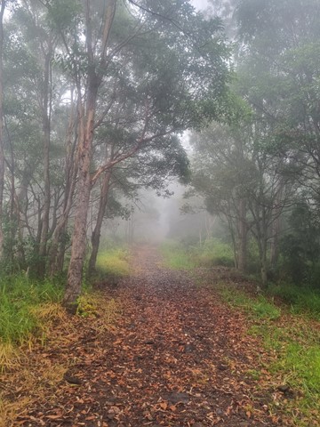
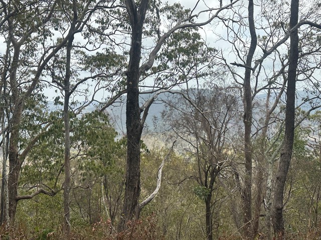
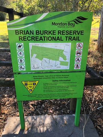
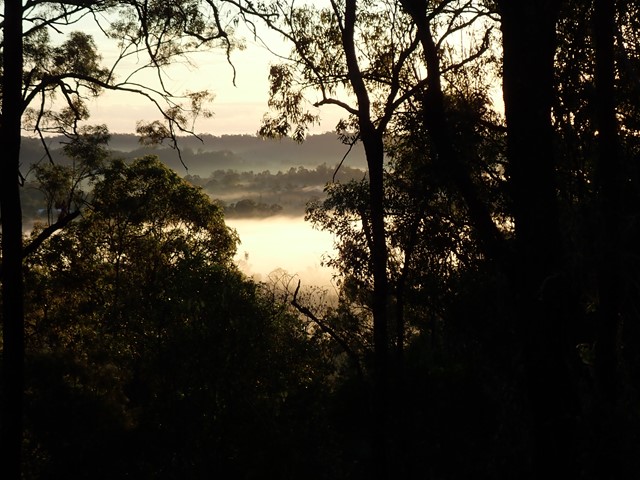
Brian Burke Reserve / House Mountain
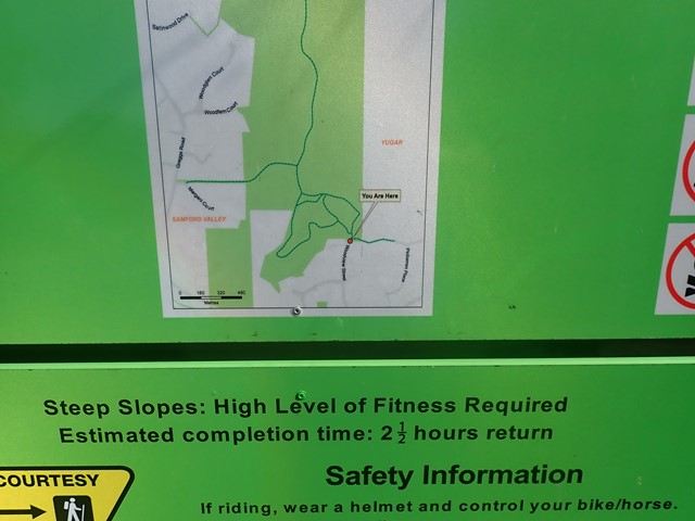
Moderate climb on well defined vehicle track. Some good views over Samford Valley toward Mt Nebo. Traverses up ridge line enjoying any breeze that's going, also making it a reasonable summer walk/climb, if there's a decent breeze. Very accessible from Brisbane.
 1.2
km
return
1
hr
1.2
km
return
1
hr
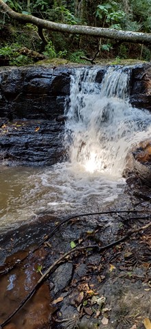
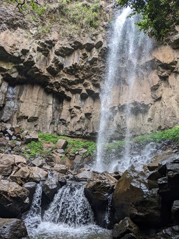
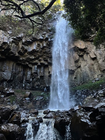
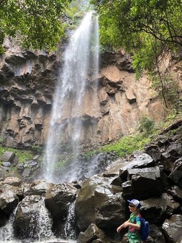
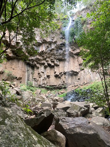
Browns Falls
Located only 4.5 kms outside of Killarney in the Scenic Rim. The 15m waterfall requires a 600 metre walk along a rough track involving plenty of climbing over rocks and under fallen trees. It is definitely worth the walk.
 8
km
return
110
mins
8
km
return
110
mins
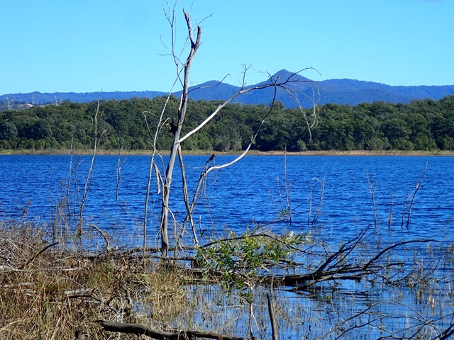
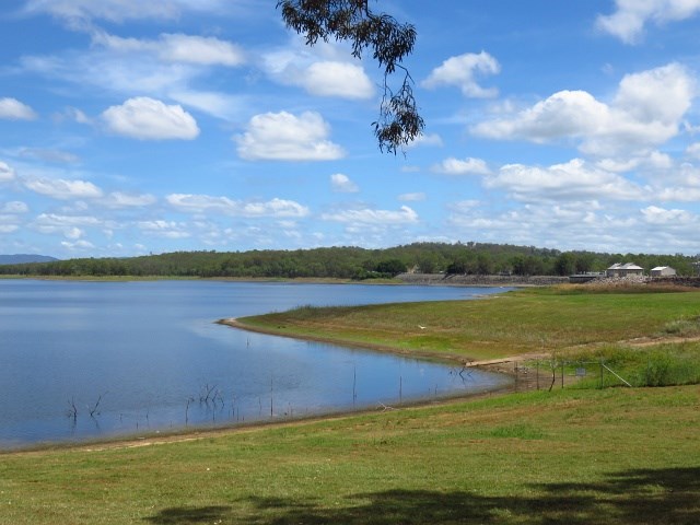
Bullocky Rest to Forgan Cove Loop
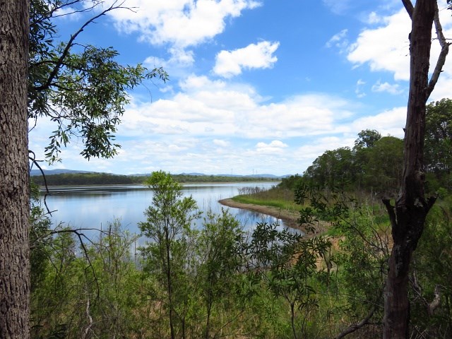
Bullocky Rest is a peninsular stretching out into lake Samsonvale. Being surrounded by water on three sides and with plenty of shade trees.
Start at either Bullocky Rest or Forgan Cove (the new watercraft launch area).
 3
km
return
45
mins
3
km
return
45
mins
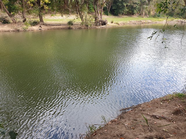
Bunya Crossing Reserve
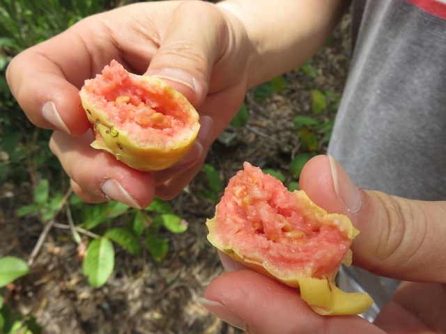
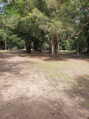
There are several easy short dog-friendly walks in the area (about 2kms in total). There is a lovely shaded picnic area and a swimming hole with rope swing. It is not so much a picturesque walk but a good place to take the family for a relaxing picnic and to take your dog for a stroll and swim. Gates close at sunset.