
Menu
Popular Walks
-
Mt Ngungun
(1151 ticks) -
Mount Coolum
(869 ticks) -
Mt Cordeaux
(665 ticks) -
Twin Falls Circuit
(635 ticks) -
Purling Brook Falls Circuit
(610 ticks)
Parent Regions
Sub-Regions
- Amamoor State Forest
- Bellthorpe National Park
- Brisbane City Council Local Walks
- Brisbane Forest park D'Aguilar National Park
- Brisbane Valley Rail Trail
- Coombabah Lakelands Conservation Area
- Daisy Hill Conservation Park
- Eumundi Conservation Park
- Glass House Mountains National Park
- Glen Rock Regional Park
- Gold Coast
- Ipswich
- Jimna State Forest
- Karawatha Forest
- Kondalilla National Park
- Lamington National Park
- Main Range National Park
- Mapleton National Park
- Moggill Conservation Park
- Moogerah Peaks National Park
- Moreton Island National Park
- Mt Barney National Park
- North Stradbroke Island - Minjeeribah
- Parklands Conservation Park
- Springbrook National Park
- Sunshine Coast
- Tamborine National Park
- White Rock - Spring Mountain Conservation Estate
Summary
Boarding NSW and the pacific Ocean, it is not uncommon for hikes to have views of both worlds (ocean and hinterland). Hikes here are typically on the great dividing range.
Popular Walks
-
Mt Ngungun
(1151 ticks) -
Mount Coolum
(869 ticks) -
Mt Cordeaux
(665 ticks) -
Twin Falls Circuit
(635 ticks) -
Purling Brook Falls Circuit
(610 ticks)
Parent Regions
Sub-Regions
- Amamoor State Forest
- Bellthorpe National Park
- Brisbane City Council Local Walks
- Brisbane Forest park D'Aguilar National Park
- Brisbane Valley Rail Trail
- Coombabah Lakelands Conservation Area
- Daisy Hill Conservation Park
- Eumundi Conservation Park
- Glass House Mountains National Park
- Glen Rock Regional Park
- Gold Coast
- Ipswich
- Jimna State Forest
- Karawatha Forest
- Kondalilla National Park
- Lamington National Park
- Main Range National Park
- Mapleton National Park
- Moggill Conservation Park
- Moogerah Peaks National Park
- Moreton Island National Park
- Mt Barney National Park
- North Stradbroke Island - Minjeeribah
- Parklands Conservation Park
- Springbrook National Park
- Sunshine Coast
- Tamborine National Park
- White Rock - Spring Mountain Conservation Estate
History
Any interesting history for the region?
Features
What are the standout bushwalking features?
Access
How do you get there? Include all access points if there are many?
Maps
Which maps cover the region?
Accommodation
Where can I stay there? or near there?
Camping
Council Areas:
- Scenic Rim Regional
- Gold Coast City
- Logan City
- Redland City
- Ipswich City
- Lockyer Valley Regional
- Brisbane City
- Somerset Regional
- Moreton Bay Regional
- Sunshine Coast Regional
- Noosa Shire
Contact details
See Qld National parks website
Walks in Gold Coast

 4
km
return
4
km
return
 1
hr
1
hr
Lake Oxenford Loop
Concrete path around the lake.
Used by runners and walkers.
 6
km
return
2.5
hrs
6
km
return
2.5
hrs
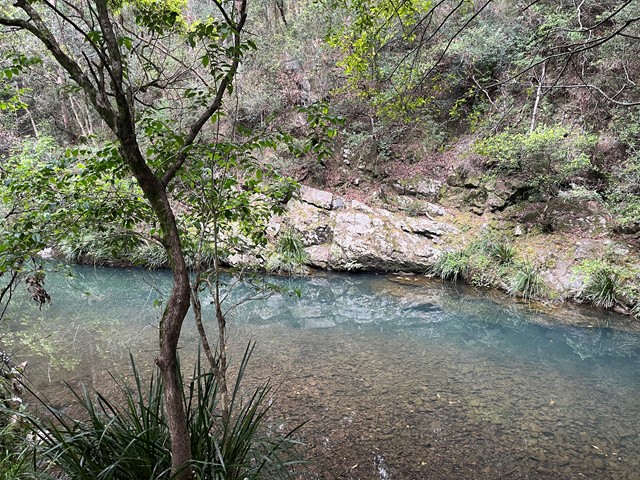
Mount Nathan (Clagiraba Road access)
From creek to mountain through the bush. Views towards the east from Mt Nathan.
 2
km
return
40
mins
2
km
return
40
mins
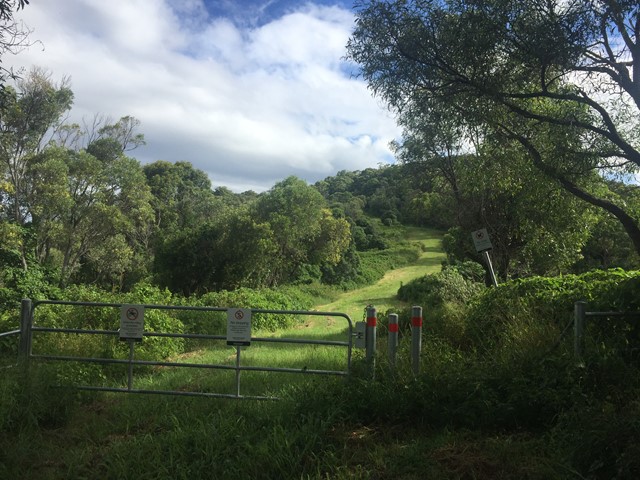
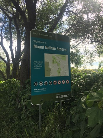
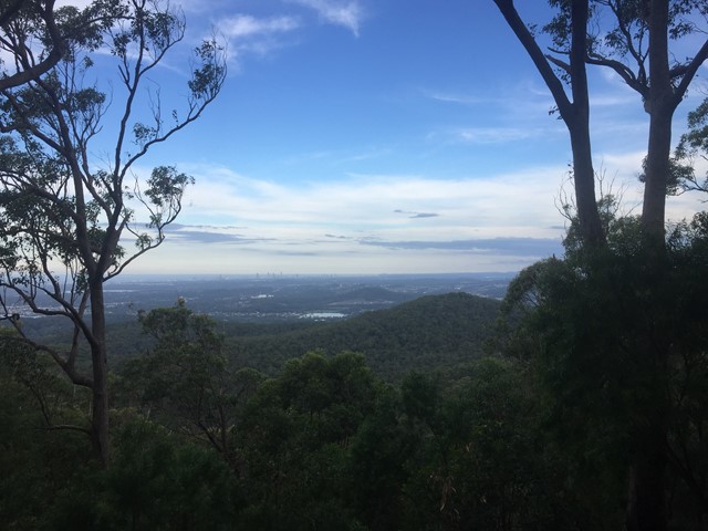
Mount Nathan (Nathan Valley Road access)
A short walk through the Mount Nathan Reserve to the summit of Mount Nathan with some views of the Gold Coast.
 1.4
km
return
30
mins
1.4
km
return
30
mins
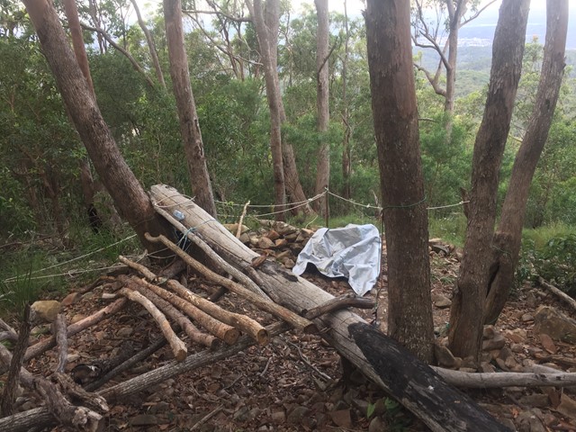
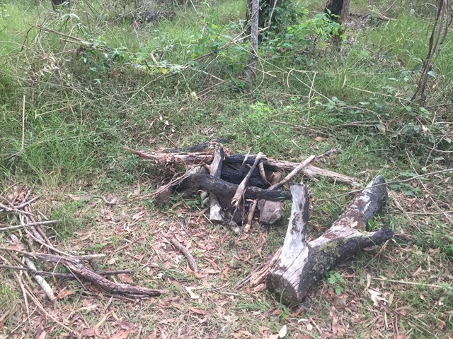
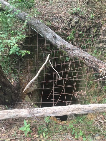
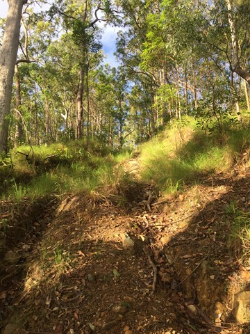
Mount Wongawallan
With multiple entrances to the reserve, it's your choice if you want a long or short walk either way there will be steep gradients. Once reaching the top of Mt Wongawallan you can find a deep hole, (assumed to be an old mine shaft) and a bit beyond that a wonderful lookout looking towards the Gold Coast Skyline.
 6
km
return
2
hrs
6
km
return
2
hrs
Nerang National Park Ridge Loop
A walk in Nerang National Park ascending via the Nerang Break to the highest point in the National Park and then following the ridge North till dropping down to the Western Break via the steep 400 Break. Then following the Western Break to the start.
 1.2
km
one-way
30
mins
1.2
km
one-way
30
mins
Oceanview Walk
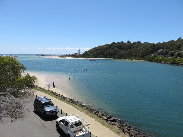
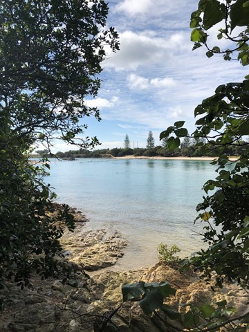
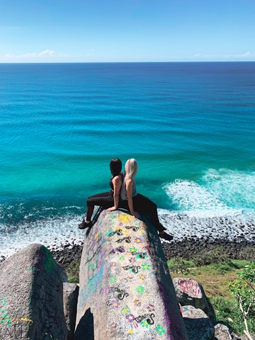
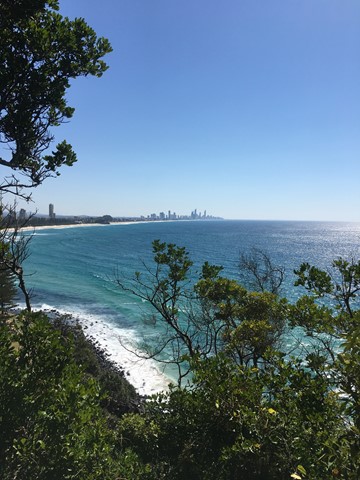
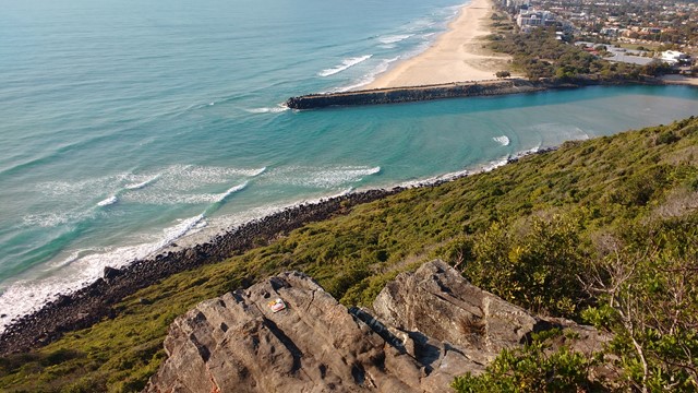
This track leads around the rocky headland from Tallebudgera Creek to the southern edge of Burleigh Heads township.
You can look at the tumbled masses of six-sided basalt columns, and relax by the creek at Echo Beach. You can either return by the same path or via the Rainforest circuit and Tumgun lookout.
 3.5
km
return
1
hr
3.5
km
return
1
hr
Palm Beach Parklands
There isn’t another location on the Gold Coast that is so diverse, where so many activities can be enjoyed in one concentrated place, from exercising your dog to wind surfing.
Along with this is the beauty of the location, its part of the Currumbin Estuary and Palm Beach Spit and a photographer’s paradise.
 4
km
return
1
hr
4
km
return
1
hr
Paradise Point Foreshore Walk
.Walkway around a peninsula along the broadwater. All sealed through parks, dunes and built up areas.
500
m
return
15
mins
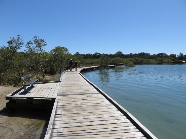
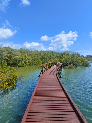
Phil Hill Environmental Park (Jabiru Island Walk)
Boardwalk trough mangroves along the Coomera river.
 2.3
km
return
1
hr
2.3
km
return
1
hr
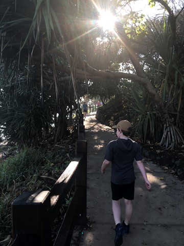
Rainforest Circuit
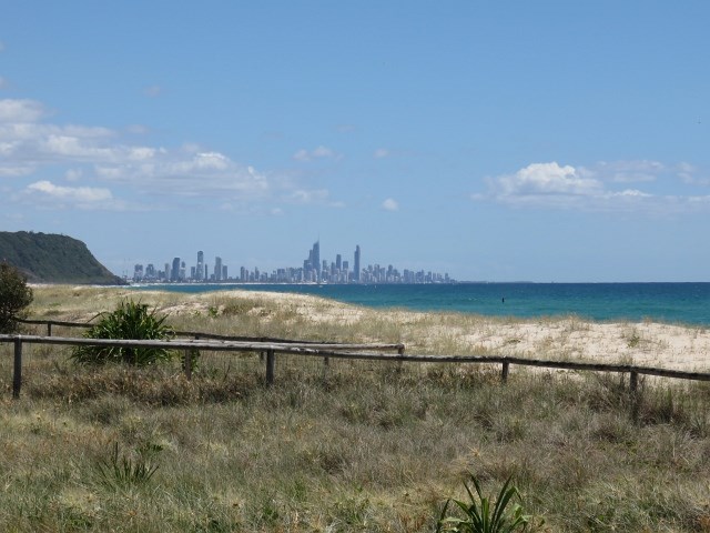
A wild, natural headland in the heart of the Gold Coast offers walks along the rocky foreshore and through rainforest, with the chance to see whales in winter/spring and sea-eagles soaring along the coast.