
Menu

 3.8
km
return
3.8
km
return
 105
mins
105
mins
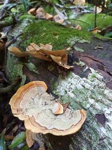
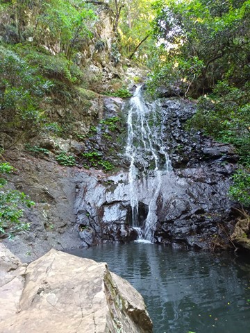
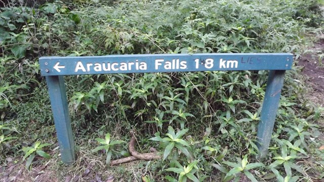
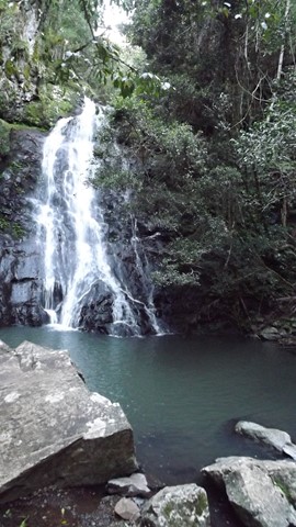
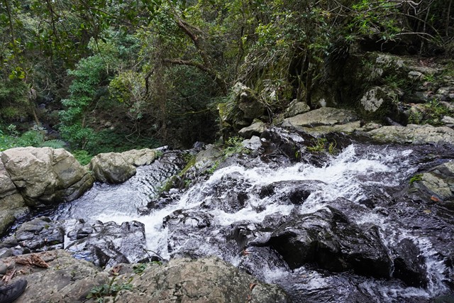
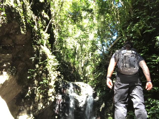
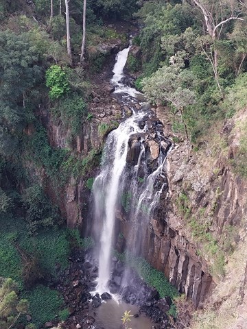
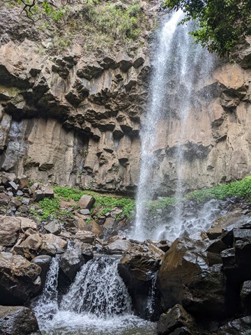
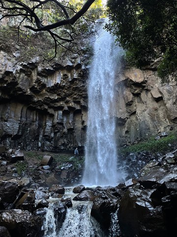
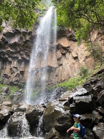
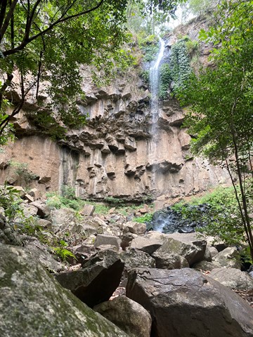
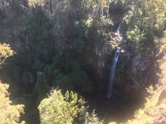
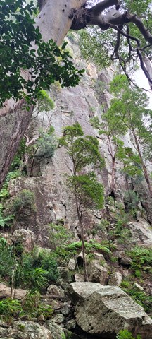
Araucaria Falls
Wind gracefully along a gully lined with brush box and gently climb to this small but spectacular waterfall. Cross the creek at the top before descending sharply to the deep pool below.
 1
km
return
45
mins
1
km
return
45
mins
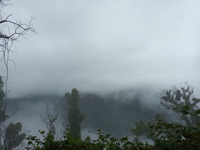
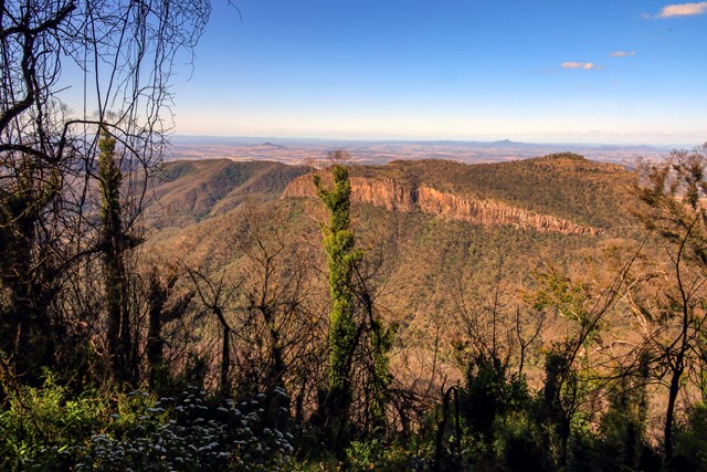
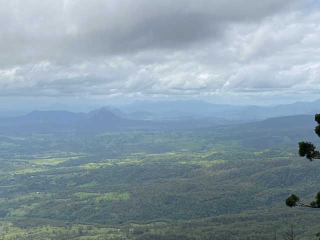
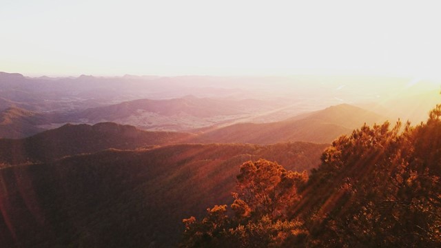
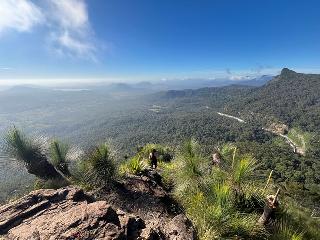
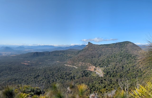
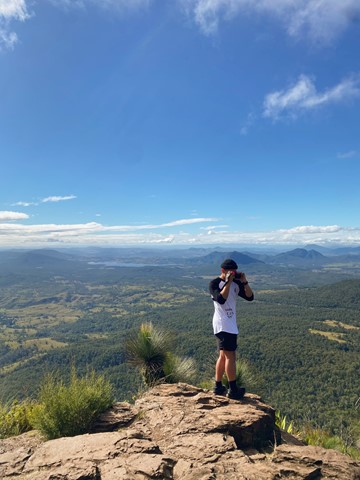
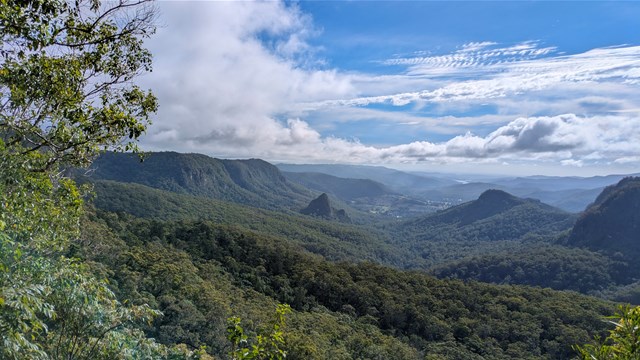
Mt Castle Lookout
Short track walk to see great view of Mt Castle, Flinders Peak and even Brisbane on a clear day.
 1
km
return
30
mins
1
km
return
30
mins
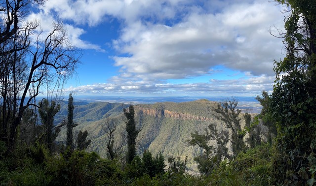
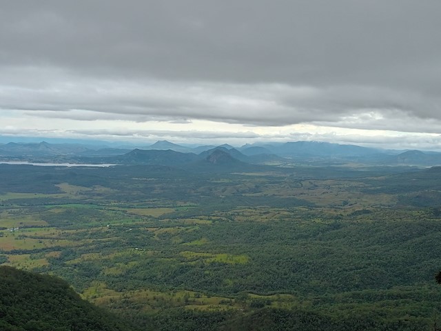
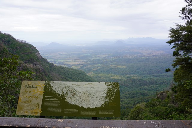
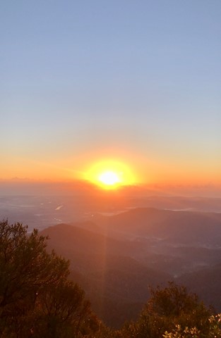
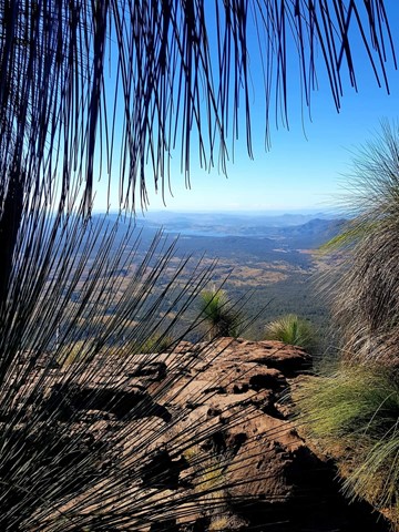
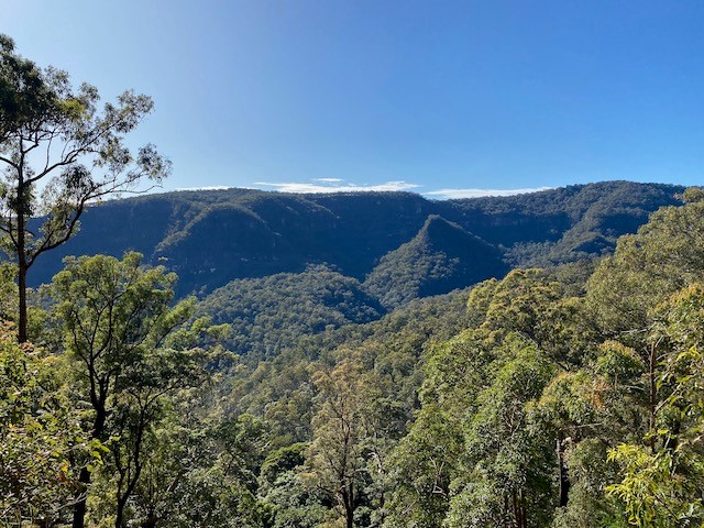
Sylvesters Lookout
From Sylvesters Lookout carpark follow an easy walking track to outstanding views. Even though they may be limited but still worth the walk.
 24
km
return
6
hrs
24
km
return
6
hrs
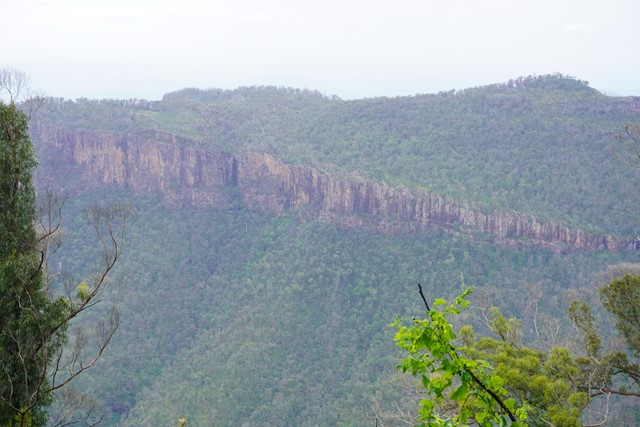
Castle Mountain Lookout
This walk start from the main car park. Head off toward the Gorge lookout then it continues on from there to a fire trail that runs up the eastern side of the range. Fairly easy going and slowly works uphill with a steeper section at the end to get the heart pumping. Along the fire trail there are the odd resting chair and glimpse of views off to the east. Take plenty of water as there is no water anywhere on the trail or lookout. The maps at the start said 22km return but I had 24km on my return.
 10.6
km
4
hrs
10.6
km
4
hrs
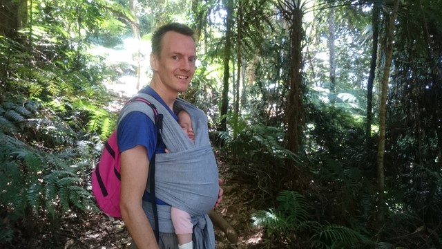
Box Forest
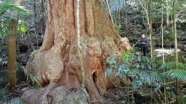
The Box Forest Track leaves the Picnic Rock track 2.7 km from the entrance and is a most rewarding circuit walk. The track winds down through stands of Brush Box and Piccabeen Palms, to the lush sub-tropical rainforest along Canungra Creek. Pepper Vines cling to tall trees that often support spectacular tree gardens.
Turn right at the next track junction. During wet times, you will have to wade through the water when crossing above Wajinya Falls. The track continues near the top of the falls on the other side. Darragumai Falls and Picnic Rock are considered good lunch spots. Don't miss Box Log and Elabana Falls on the way home.
 900
m
return
30
mins
900
m
return
30
mins
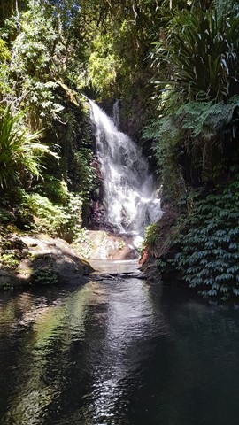
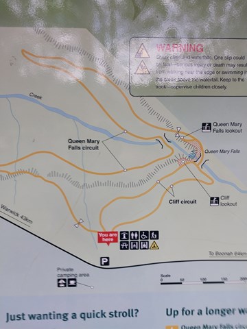
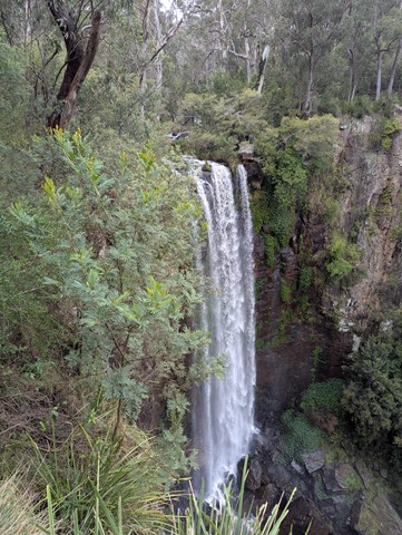
Queen Mary Falls Lookout
This walk takes you to the top of Queen Mary Falls, which is part of the headwaters of one of Australia's longest river systems, the Murray–Darling. Great care should be taken when viewing the gorge below and carefully supervise children.
 2
km
return
45
mins
2
km
return
45
mins
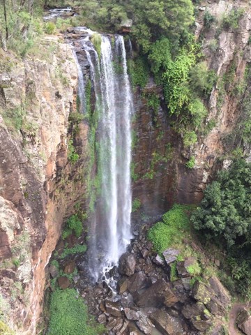
Queen Mary Falls Circuit
From the Queen Mary Falls lookout, watch Spring Creek plunge over the 40m Queen Mary Falls to continue its twisting journey down the valley floor to join the Condamine River. On a summer's day take time to pause for a moment to feel the waterfall's cool spray.
There are often water dragons sunbaking on rocks around the valley floor and the track goes through plenty of ferns and native Australian trees.
 1.4
km
return
75
mins
1.4
km
return
75
mins
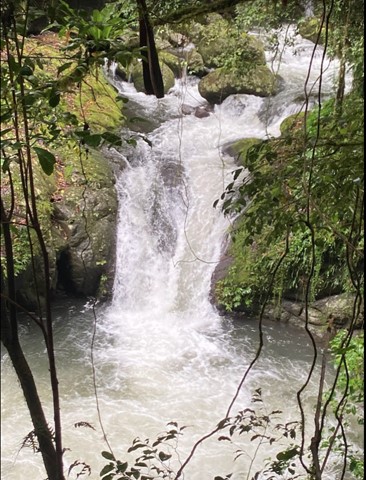
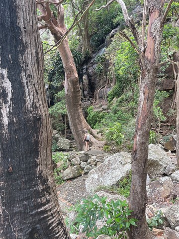
Browns Falls
Located only 4.5 kms outside of Killarney in the Scenic Rim. The 15m waterfall requires a 700 metre walk along a rough track involving plenty of climbing over rocks and under fallen trees. It is definitely worth the trek.
 40
m
return
15
mins
40
m
return
15
mins
Daggs Falls Lookout
Daggs Falls on Spring Creek makes a dramatic 38m drop as you watch from the lookout above.
 8.3
km
return
5
hrs
8.3
km
return
5
hrs
Mt Warning Summit Trail
MOUNT WARNING SUMMIT TRAIL HAS BEEN CLOSED SINCE COVID, BUT IT IS NOW PROPOSED TO REOPEN THE TRACK IN JULY 2026.
A trail to the summit of Mt Warning offers beautiful 360 degree views of the Great Dividing Range from the peak. Lots of steps, can be slippery. A steep climb to the summit using chains, but the views from the top are worth it!
 2.6
km
return
1
hr
2.6
km
return
1
hr
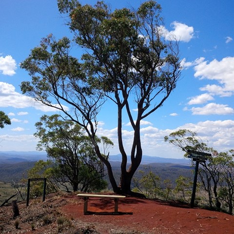
Daniels Lookout
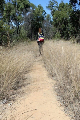
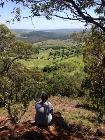
This track winds up Boat Mountain then follows along the ridge at the top to offer sweeping views to the north.
There is a long man-made staircase of 180 steps at the beginning of this walk, but the upper section of the track is mostly flat and very easy to follow, with views that are well worth the effort.
 1.9
km
return
1
hr
1.9
km
return
1
hr
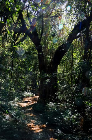
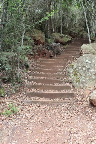
Silburns Vine Scrub Walk
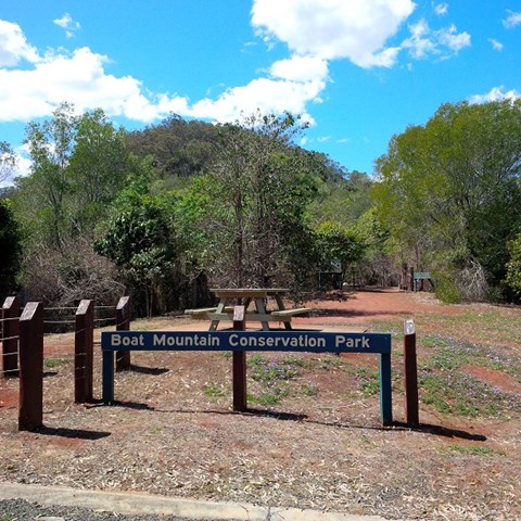
Boat Mountain is named for it's shape, which looks like an overturned Viking ship. Silburns Vine Scrub Walk is a side track off the main trail. It winds through a shady section of dry rainforest that contains many interesting vines and plants and the odd Padymelon if you are lucky.
 432
m
return
30
mins
432
m
return
30
mins
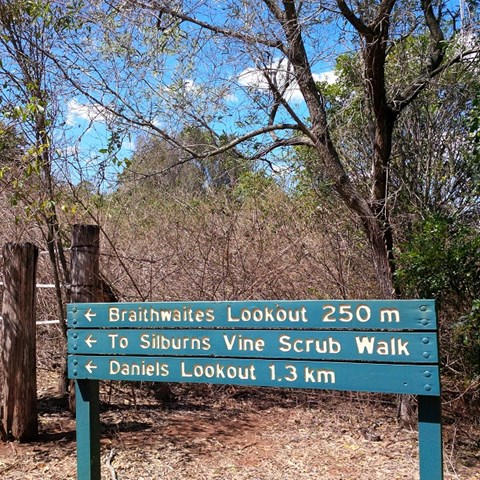
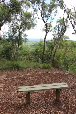
Braithwaites Lookout
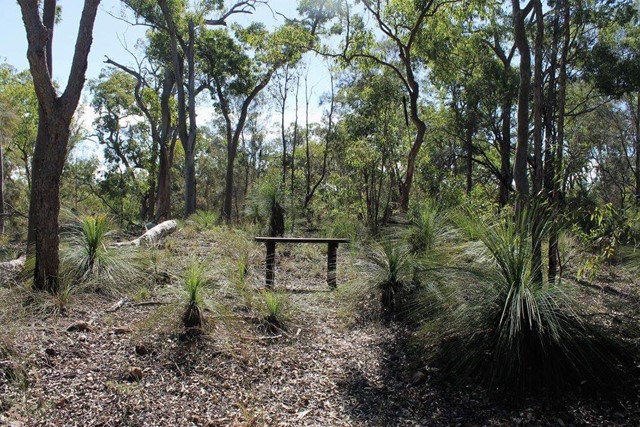
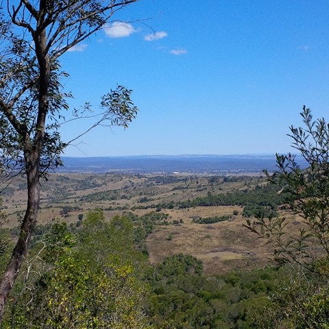
A walk up to Boat Mountain's first lookout with views towards Murgon, through healthy, partly-shaded bushland.
While this is a short and easy to follow track, the walk begins with a long staircase of 180 steps.
 6.8
km
return
2.5
hrs
6.8
km
return
2.5
hrs
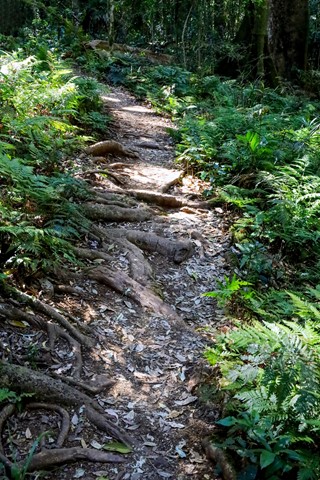
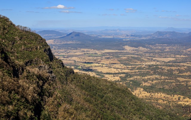
Mt Cordeaux
Mt Cordeaux forms the Northern side of Cunningham's Gap. The track ends at a platform just below the main peak and is ideal for viewing South, down the length of Main Range National Park. There are also good views of the Moogerah Peaks, Mt Barney and North to the Mistake Mountains.
National Parks signage officially lists this walk as Grade 4 difficulty (most of the track is unsealed, with hazards such as tree roots/rocks, muddy sections and occasional tree-falls across the path). Walkers with a moderate level of fitness should find this a comfortable walk and be able to complete it in under the given timeframe.
 1.5
km
return
1
hr
1.5
km
return
1
hr
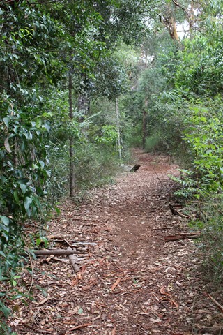
Eastrop Park Tree Trail
A trail in Basingstoke that features a variety of tree species.
12
km
return
3.5
hrs
Lower Bellbird Circuit
This circuit branches off ship's stern 3.7 km from the trail head. It passes through a variety of habitat types and there are some impressive views. You can start from either just south of the information center (500 m) and walk clockwise or start at Binna Burra and walk anticlockwise. Either way, you'll be walking down or up 2.5km of road. A nice 3 km diversion is to go down to Lower Ballunjul Falls.
 2
km
return
90
mins
2
km
return
90
mins
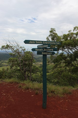
The Shelf Road Environmental Offset Loop & Falls
A loop through a revegetating section of bush with a side trail to some falls. Note the side section is well used though passes through private property.
3.2
km
one-way
2
hrs
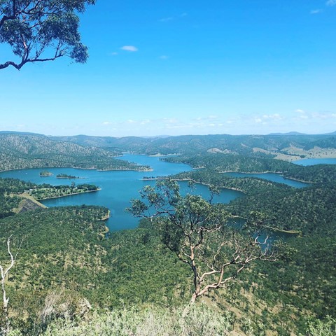
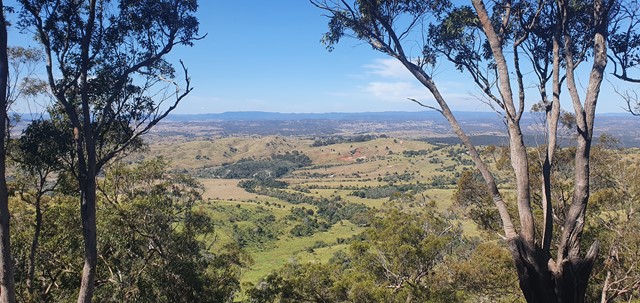
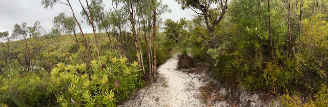
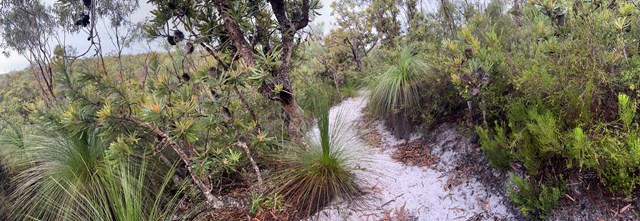
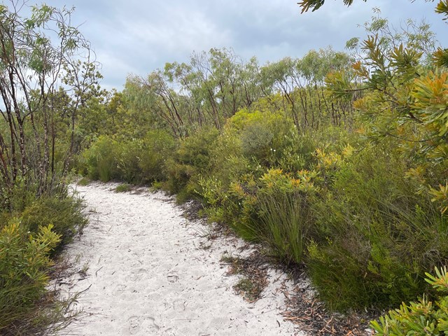
Mount Bippo Penbean
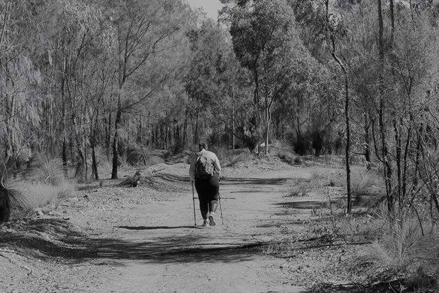
This is a relatively easy track on sand, although the last section up to the top of the viewing platform is quite steep and will get the heart rate up. It provides a good view over the National Park parts of the island and out towards the bay. Apparently on very clear days you can also see to NSW, the Sunshine coast and the Border Ranges. There are lots of banksias and grasstrees. Recommend that people do this in the early morning or late afternoon. Those scared of spiders should avoid as there are lots of spider webs across the pathway and it is difficult to see them in some light.
Signs say to allow 2 hours return. I completed this in 1 hour 35 minutes with a moderate fitness level.
This is pronounced Bib-boo bee-yan, meaning mountainous country in Jandai language (Quandamooka)
 6
km
one-way
90
mins
6
km
one-way
90
mins
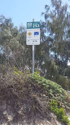
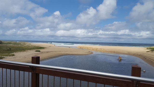
Currimundi Lake Loop to Bokarina (SCCP 5)
A deviation from the official SCCP, that takes you across Currimundi Lake exit to the sea and up through the coastal health of the Conservation Park before rejoining the pathway up to Bokarina.
 8
km
return
2
hrs
8
km
return
2
hrs
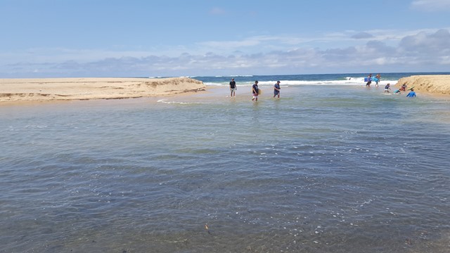
Moffat Beach to Currimundi Lake (SCCP 4)
Time to get your feet wet on this one, as you cross Swamp Creek and head up the sand to Dicky Beach and on along the coastal wetlands boardwalks to beautiful Currimundi Lake.