
Mt. Atago 愛宕山 (Kyoto Prefecture)
Japan


Menu
Mt. Atago is the tallest mountain in Kyoto city. It is the best proper hike near Kyoto city within easy access of Arashiyama.

Getting there
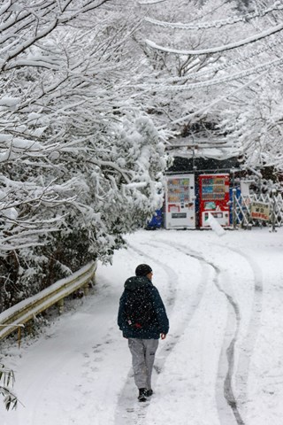
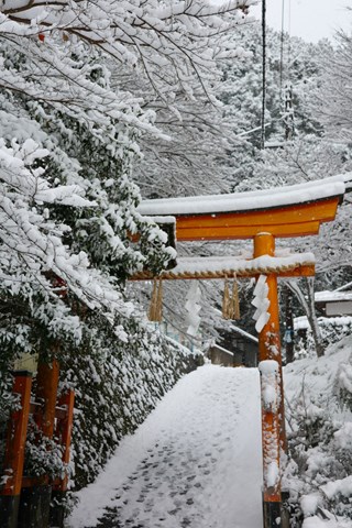
Begin this hike by first getting to Arashiyama station and then taking the 94 bus to Kiyotaki (the final stop). From Kiyotaki walk down a narrow road until you reach a large red torii gate, this is the beginning of the hike.
Maps
Good luck
Route/Trail notes
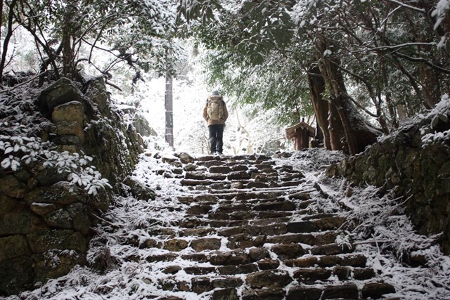
From the red torii continue upwards following signs written by the fire department that break the hike into 40 sections. In the snow, the hike is more than accessible but be prepared to work those legs and expect the hike to take a bit longer than the suggested time. The hike is incredibly well sign posted so you should have no problem getting to the peak and back following the same path (there are plenty of stairs). Along the way are also benches and picnic areas if you want to take a rest.
GPS Tracks
- No GPS available for this walk yet.
 4.8
4.8 5
5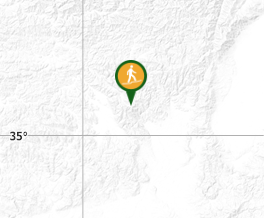
Comments