Menu
Popular Walks
-
Mt Ngungun
(1162 ticks) -
Mount Coolum
(874 ticks) -
Mt Warning Summit Trail
(760 ticks) -
Mt Cordeaux
(669 ticks) -
Twin Falls Circuit
(637 ticks)
Popular Walks
-
Mt Ngungun
(1162 ticks) -
Mount Coolum
(874 ticks) -
Mt Warning Summit Trail
(760 ticks) -
Mt Cordeaux
(669 ticks) -
Twin Falls Circuit
(637 ticks)
Sub-Regions
Walks in Mt. Coot-tha

 5.3
km
return
5.3
km
return
 1
hr
1
hr
Litchfield Track
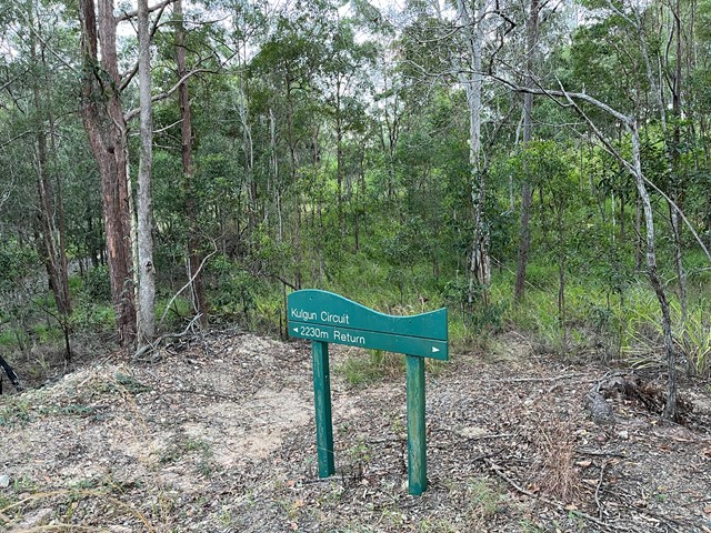
This track is 2.5km one way and is graded as moderate by Brisbane City Council and is well maintained but can have lose stones. The track winds through bushland parallel with the road and is easy to traverse. You will see a variety of Australian native plants and birds. A variety of people, at different stages of trail walking ability, use this track including trail runners.

 5.1
km
return
90
mins
5.1
km
return
90
mins
Maculata Track
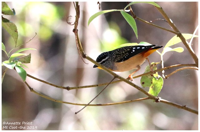
A pleasant walk to a part of Mt Cootha less travelled. It winds down to Bardon reservoir then around Kulgan Cct returning to the start by Bardon Track.


 2.6
km
one-way
40
mins
2.6
km
one-way
40
mins
Mahogany Trail
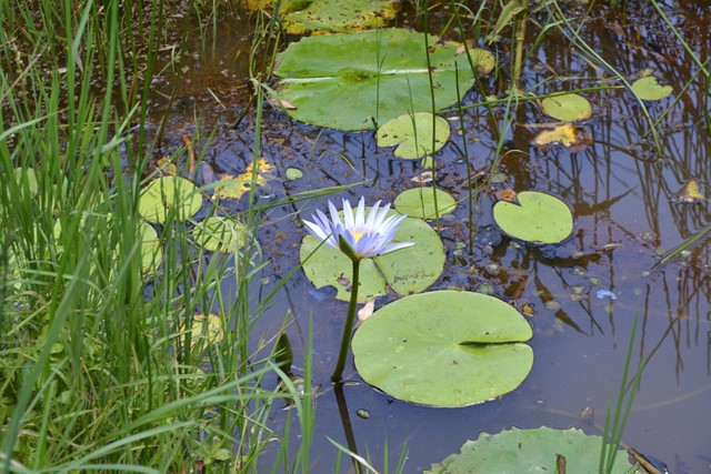
An alternate track to the Summit Trail at Mt Cootha Brisbane that is shared with bikes and horse riders
 5.3
km
return
75
mins
5.3
km
return
75
mins
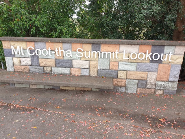
Mt. Coot-tha Summit Track
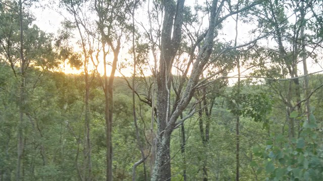
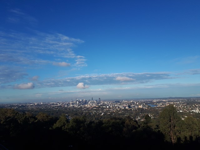
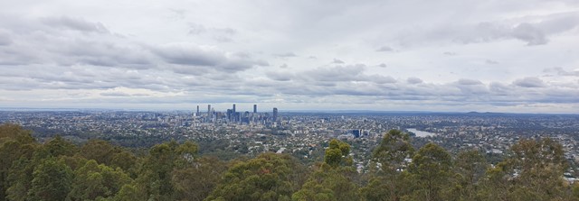
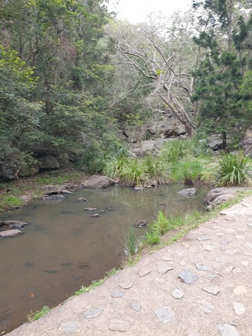
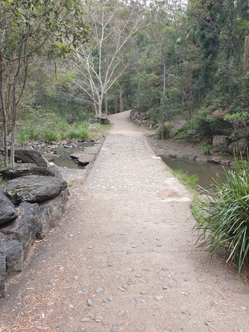
Mt Coot-tha Lookout has sweeping views of Brisbane City, Moreton Bay, and around to the Tweed Volcano, Main Range and Mount Barney and Flinders Peak. The walk to this lookout, from JC Slaughter Falls Picnic Area, is a potentially slightly testing but generally easy walk on a paved track that straddles a gully.
 5.6
km
return
90
mins
5.6
km
return
90
mins
Powerful Owl Trail
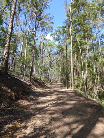
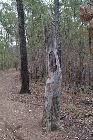
Start from either channel 9 or Silky Oaks picnic area. Well frequented wide trail.
 1.3
km
return
40
mins
1.3
km
return
40
mins
Simpson Falls Track
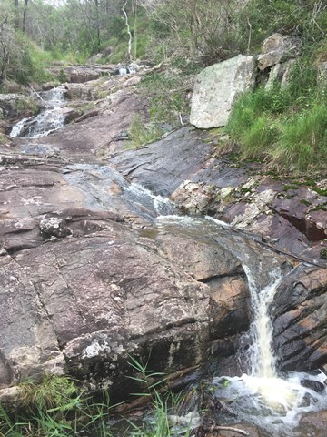
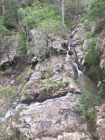
This track begins at Simpson Falls picnic area. It is excellent for wildflower viewing in late winter and spring when the golden wattles and purple hoveas of the open forest understorey burst into bloom. Walkers may catch a glimpse of the city from the Simpson Falls viewing deck.
 4
km
90
mins
4
km
90
mins
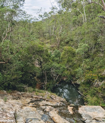
Simpsons Falls and Eugenia Circuit
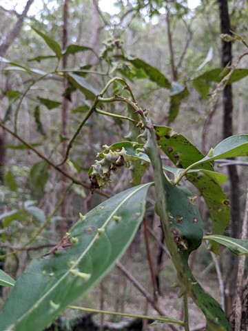
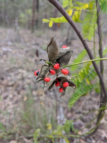
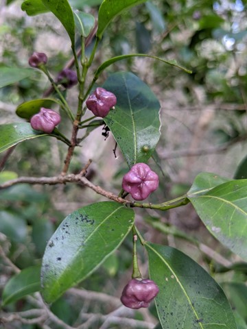
This track begins at Simpson Falls Picnic Area. It is excellent for wildflower viewing in late winter and spring when the golden wattles and purple hoveas of the open forest understorey burst into bloom. Links with the Eugenia Circuit

 2.5
km
return
1
hr
2.5
km
return
1
hr
Themeda Track
A great starter walk for those looking to get into hiking. About 2.5kms in length.
Walks in Brisbane Valley Rail Trail
18
km
one-way
4.5
hrs
Benarkin to Linville- Part of BVRT
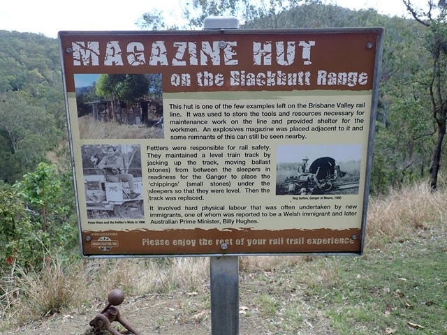
The Benarkin to Linville section is 18km, downhill. The only inclines are crossings of Blackbutt Creek. Initially the walk is through gum forest, with stands of hoop pine and stands of silky oak. Then it opens up and runs through farm land for the last 4 or 5 km. There are plenty of birds, notably many brown doves, and flocks of quail. There is a bellbird colony near 130 kilometric mark. Blackbutt is a pretty creek if running. There is a bit of rainforest on the banks. Historical railway spots and information are signed and very interesting. Surface is good - no slippery bits. There are three shelters along the way. MacNamara's Camp. about half way, has a toilet and water tank. Take your own water. And maybe insect repellent.