
Menu
Popular Walks
-
Mt Ngungun
(1138 ticks) -
Mount Coolum
(858 ticks) -
Mt Warning Summit Trail
(758 ticks) -
Mt Cordeaux
(655 ticks) -
Twin Falls Circuit
(625 ticks)
Popular Walks
-
Mt Ngungun
(1138 ticks) -
Mount Coolum
(858 ticks) -
Mt Warning Summit Trail
(758 ticks) -
Mt Cordeaux
(655 ticks) -
Twin Falls Circuit
(625 ticks)
Sub-Regions

 32
km
return
32
km
return

Moreton Island Rous Battery Track
Walk from the barge dropoff past Tangalooma and through the desert over to WW2 relics of Rous Battery on the ocean beach.
55
km
return
3
days
Moreton Island Traverse
A long sand walk that starts at Bulwer in the North and finishes at reeders Point south of Kooringal. walking both on beach and inland trails.
60
km
return
4
days
Moreton Island Traverse From Tangalooma
one way loop can be undertaken in either direction
Start where the Ferry drops you off just North of Tangalooma. Walk down to Tangalooma and along the beach till the turn off for the Desert (there's a hazard beacon on the hill). Continue through the desert to the far side then continue along the Rous Battery track (9.8kms). Next day after exploring bunkers head straight North along the beach on the East side of the island. Next is to head along middle road then turn north where mount tempest can be climbed then continue along telegraph track (16Kms) then through to Buwler. Then from the North West corner of the island back south along the western shoreline to the ferry.
undertaken over 4 days
 2.5
km
return
2
hrs
2.5
km
return
2
hrs
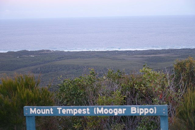
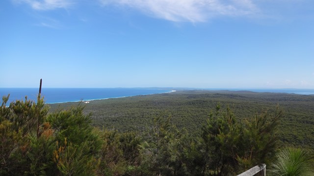
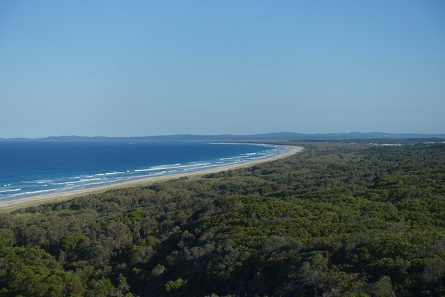
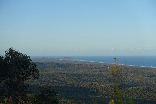
Mount Tempest
At 285 metres high, Mount Tempest is the highest stabilised sand dune in the world. The walk to the top of Mount Tempest is a memorable one, with sweeping views of Moreton Bay and the island’s length a spectacular experience. The wildflowers are nice in spring and humpback whales can be spotted migrating in late winter and spring.
 6.3
km
one-way
90
mins
6.3
km
one-way
90
mins
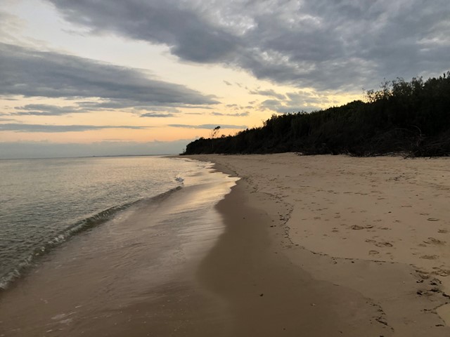
Red Beach to Woorim
This is a walk along the beach from the car park at Red Beach Bribie Island to the patrolled surf beach at Woorim. It's best to time your walk around low tide as at high tide the water comes right up to the trees in some places. Also, after significant rain there can be run-off from the island causing water courses that will need to be crossed - Not really a problem unless you don't want to get your feet wet. I've only marked the difficulty level as medium due to the un-certainty of the conditions, but generally it's a pretty easy walk if you stay on hard sand. If you're looking at a work-out, maybe walk on the soft sand and then the difficulty would definitely be harder. If you decide to do a return walk, you can pick up something to eat or drink at Woorim before heading back.
 50
km
one-way
3
days
50
km
one-way
3
days
Sandy Dandy Hike
This is a shorter version of the other submitted walk on this island (Moreton Island Traverse).
If you want to see beautiful beaches, lovely lagoons, capacious capes, comfy camps and to fill every crevice on your body with sand then this walk is for you!
This walk will take you to Moreton Island's beaches, camp sites, lighthouse, inland trails, Mt Tempest, blue lagoon, the wrecks and Tangalooma Resort.
 1
km
return
45
mins
1
km
return
45
mins
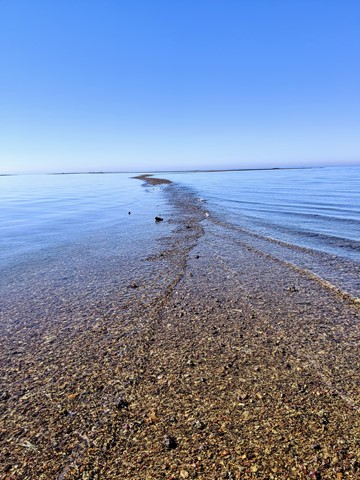
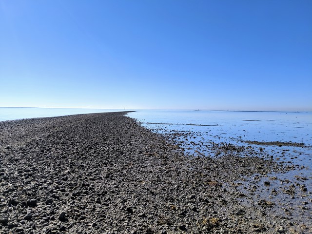
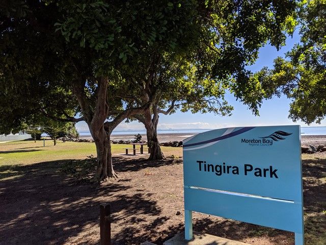
Scarborough Point Low Tide
A short 1km return walk over the mud flat & rocks at Scarborough Point, starting from Tingira Park. At low tide the rocks form a roughly 2m wide path out to a big rocky outcrop in the bay, there's often people fishing or fossicking here. At high tide the entire path and outcrop go underwater.
 8.7
km
one-way
2.5
hrs
8.7
km
one-way
2.5
hrs
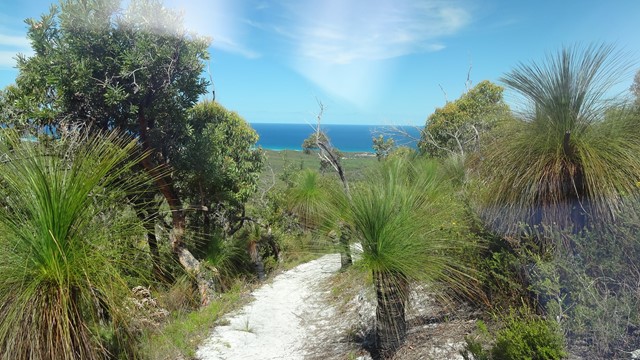
Telegraph Track
Park at Mt Tempest. Listed as a 4-6 hour return hike but i completed it in 2.5 hours as a fit solo walker.
All sand being located on Moreton Island and you certainly work the calves as a result! Some elevation but nothing major. Some good views to the Pacific Ocean when your high enogh on some of the climbs.
Great walk full of birds and lizards running around the place with no sight of snakes the day I walked. Good thing to do when tour living on the island 🌴
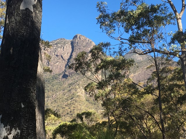
Walks in Mt Barney National Park
(South East Queensland, Queensland)
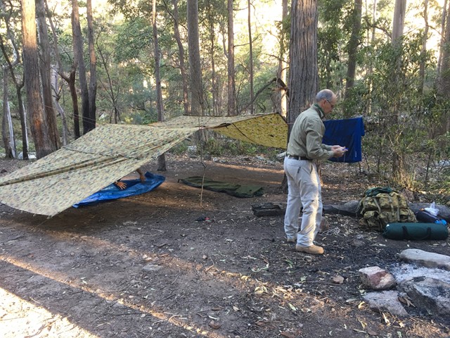
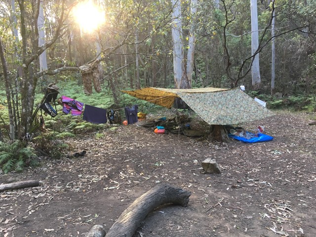
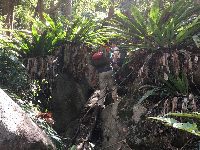
Barney Gorge Junction Bush Camp to Yamahra Creek Camp
There are two ways to do this walk. The first one is to hike back up to the top of the ridge and follow it along to reach Yamahra creek camp. The second way which is the way we went was to follow the creek and rock hop your way, there are some pros and cons to this as the views are amazing and the scenery spectacular, there are some sections which are a bit challenging as they require some small rock climbing skills and are made more difficult if your carrying a large pack. Before you get to the upper portals you have to break track back up the ridge to your right as you cant get around the portals. From there you follow the track over the ridge and down the other side and descend to the Yamahra creek campsite. this campsite is close to running water in the creek, as you walk towards the creek take the left turn and water is about 200m away.
 13
km
5
hrs
13
km
5
hrs
Cronan Creek Falls Track
From Yellow Pinch car park, a pleasant walk along the fire trail leads you past the base of South Ridge into green rainforest. (Note: the climb up South Ridge is rugged and steep and for experienced walkers only).