
Menu
Popular Walks
-
Mt Ngungun
(1138 ticks) -
Mount Coolum
(858 ticks) -
Mt Warning Summit Trail
(758 ticks) -
Mt Cordeaux
(655 ticks) -
Twin Falls Circuit
(625 ticks)
Popular Walks
-
Mt Ngungun
(1138 ticks) -
Mount Coolum
(858 ticks) -
Mt Warning Summit Trail
(758 ticks) -
Mt Cordeaux
(655 ticks) -
Twin Falls Circuit
(625 ticks)
Sub-Regions
Walks in Main Range National Park
(South East Queensland, Queensland)
 15
km
15
km
 4.5
hrs
4.5
hrs
Mt Mitchell
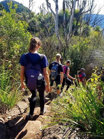
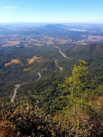
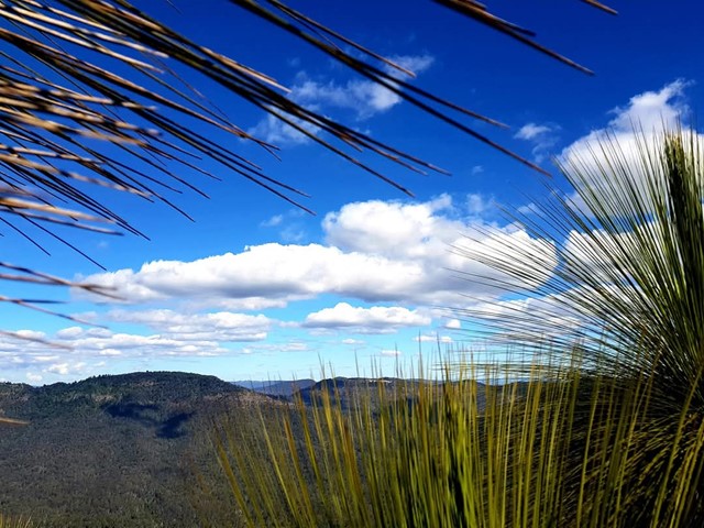
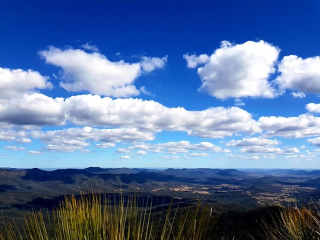
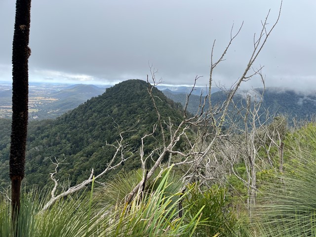
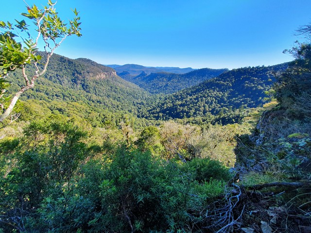
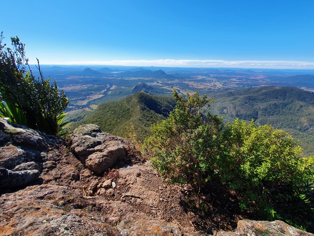
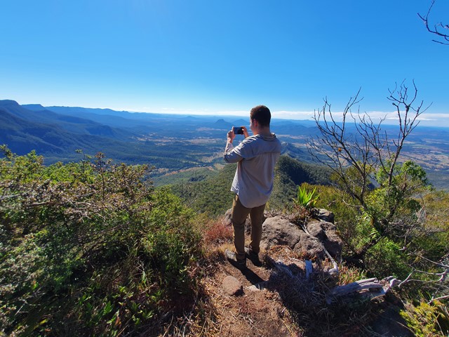
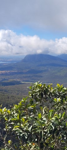
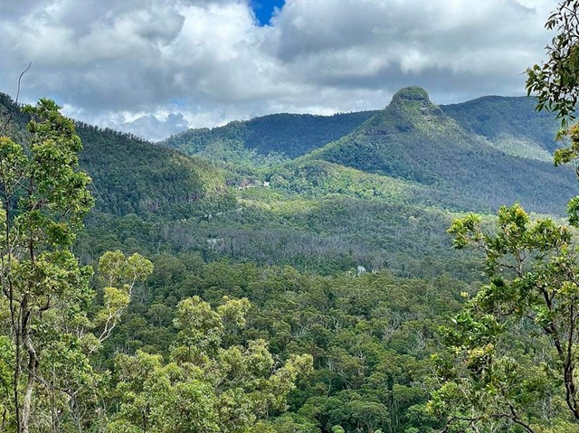
Mt Mitchell, one of two peaks on either side of Cunningham's Gap, is a good track walk which provides great views of Main Range, the Moogerah Peaks and through to Mt Barney. There is a wide variety of biome types along the track, including luxuriant rainforest, eucalyptus forest, and montane heath, as well as impressive natural rock formations, making this an incredibly scenic walk. Now starting at West Gap Picnic area which adds 5km to the trip, making it 5 to 5.5 hours as per the new sign at West Gap
 9.5
km
return
3.5
hrs
9.5
km
return
3.5
hrs
Mt Mitchell via West Peak
A variation on the usual Mt Mitchell walk, for those who want to "bag" another peak
 12.2
km
return
8
hrs
12.2
km
return
8
hrs
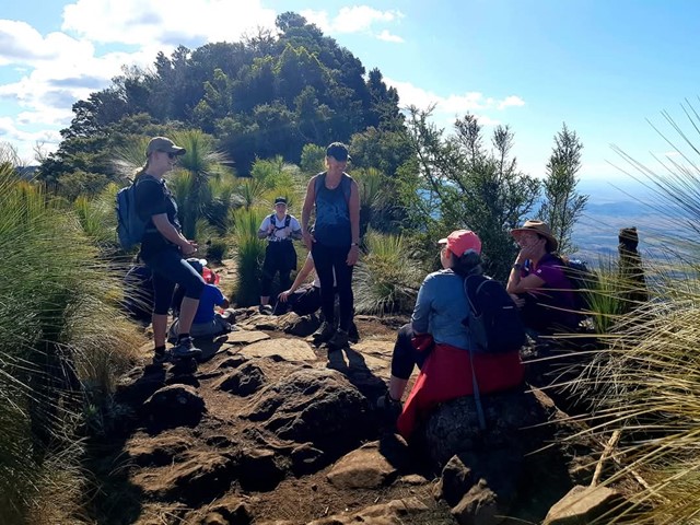
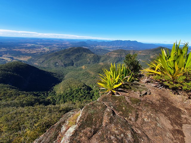
Mt Roberts + Lizard Point
A reasonably well marked trail leading up to the summit of Mt Roberts, then proceeding on to one of the best lookout points in SEQ - Lizard Point.
 10.5
km
3
hrs
10.5
km
3
hrs
Mt. Mathieson Circuit
This track was built by volunteers in 1986 from the National Parks Assoc of Qld. The mountain is named after the chief commissioner of railways from 1880s to 1912
 7
km
return
3
hrs
7
km
return
3
hrs
North Branch Track
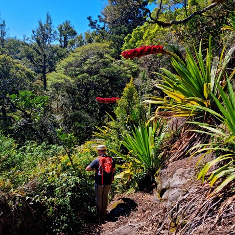
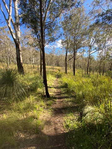
Commencing opposite the Kurrajong picnic area, this trail follows the north branch of Dalrymple Creek, before ending just inside the rainforest edge.
 18
km
return
7
hrs
18
km
return
7
hrs
Northern Scenic Rim Trail to Mt Mistake Campsite Day walk
Explore the first part of the Scenic Rim Trail walk - a good workout and nice views
 4.4
km
2
hrs
4.4
km
2
hrs
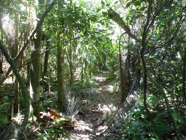
Palm Grove Circuit
Branching from the Rainforest Circuit, this walk ends in a one kilometre circuit featuring a dense grove of Piccabeen palms in rainforest and open eucalypt forest. A variety of birdlife can be seen and the track is suitable for all ages.
 130
m
12
mins
130
m
12
mins
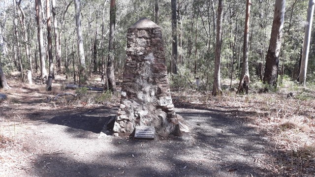
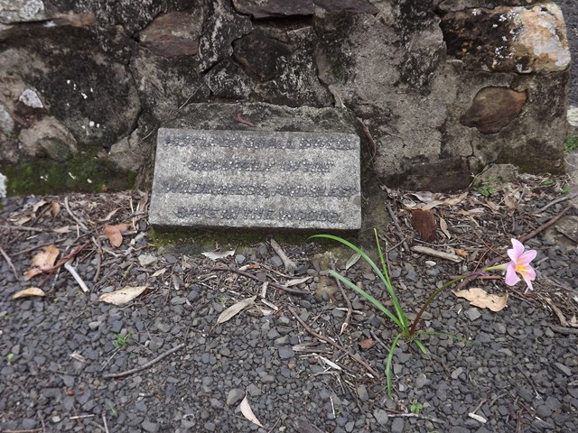
Pioneers Graves
130 meters south of the Pioneer picnic ground. A cairn stands to represent where the Pioneers of the area are buried.
 2
km
return
45
mins
2
km
return
45
mins
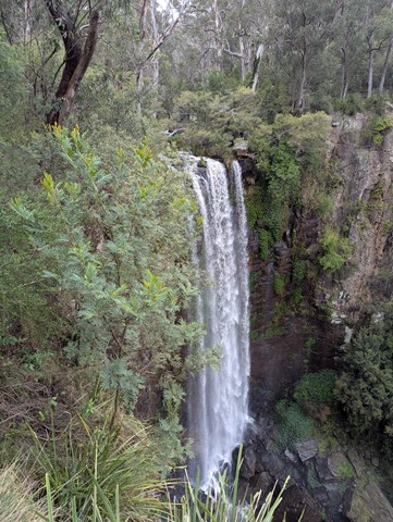
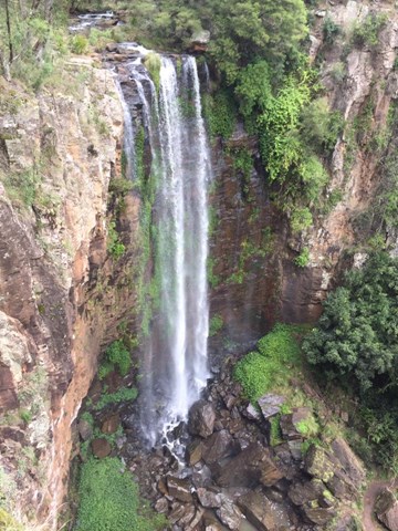
Queen Mary Falls Circuit
From the Queen Mary Falls lookout, watch Spring Creek plunge over the 40m Queen Mary Falls to continue its twisting journey down the valley floor to join the Condamine River. On a summer's day take time to pause for a moment to feel the waterfall's cool spray.
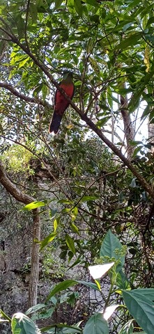
There are often water dragons sunbaking on rocks around the valley floor and the track goes through plenty of ferns and native Australian trees.
 400
m
return
30
mins
400
m
return
30
mins
Queen Mary Falls Lookout
This walk takes you to the top of Queen Mary Falls, which is part of the headwaters of one of Australia's longest river systems, the Murray–Darling. Great care should be taken when viewing the gorge below. Supervise children closely.