
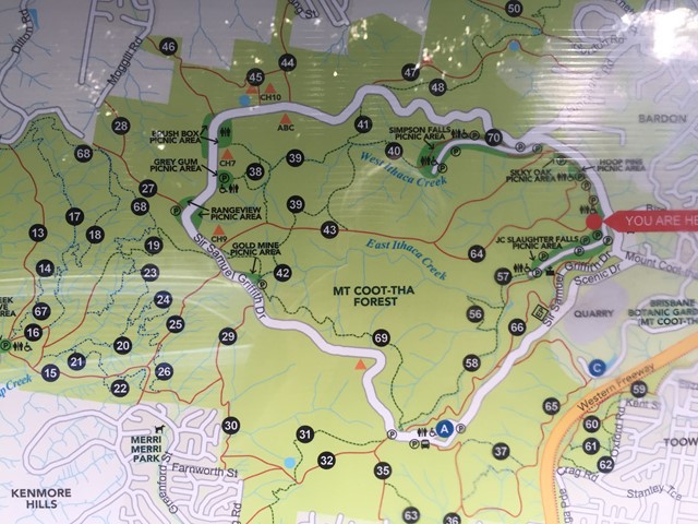
Menu
Popular Walks
-
Mt Ngungun
(1145 ticks) -
Mount Coolum
(864 ticks) -
Mt Warning Summit Trail
(759 ticks) -
Mt Cordeaux
(659 ticks) -
Twin Falls Circuit
(630 ticks)
Popular Walks
-
Mt Ngungun
(1145 ticks) -
Mount Coolum
(864 ticks) -
Mt Warning Summit Trail
(759 ticks) -
Mt Cordeaux
(659 ticks) -
Twin Falls Circuit
(630 ticks)
Sub-Regions

 1
km
return
1
km
return
 30
mins
30
mins
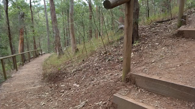
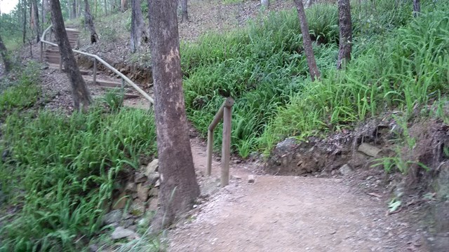
Ghost Hole Track
Went for a walk here to look at the location of the old gold mines.
 4.2
km
return
90
mins
4.2
km
return
90
mins
Honeyeater Track
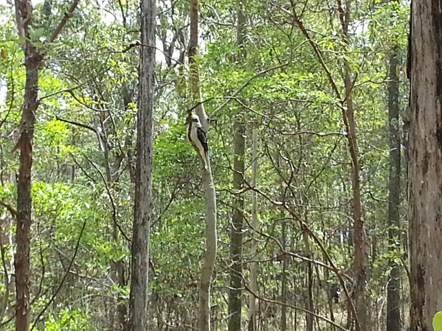
An interesting walk from near Mt Cootha summit down to Fleming Rd, the Environmental centre and back up to the start via Chapel Hill Rd Trail. You will see plenty of water dragons, butterflies and birdlife.
 4.6
km
90
mins
4.6
km
90
mins
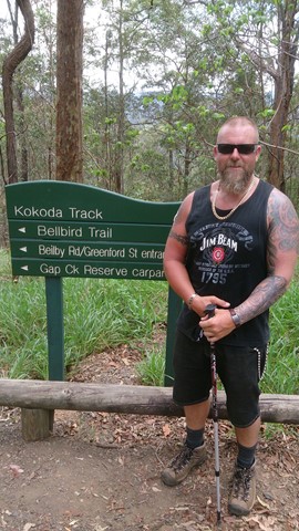
Jacksonia Trail, Bellbird Trail, and Kokoda Trail Circuit
This walk is a great workout training. A lot of people along this track are training for possibly Kokoda and carry large packs. It is very steep, you some times see mountain bikers ride up and down.
 1.2
km
return
30
mins
1.2
km
return
30
mins
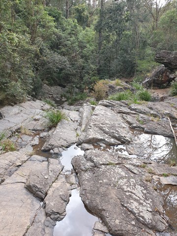
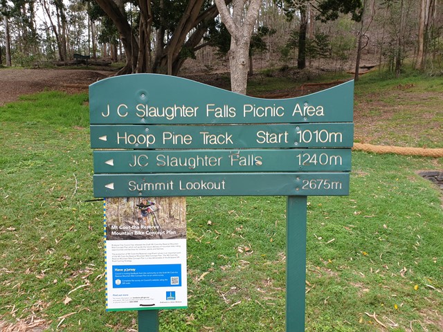
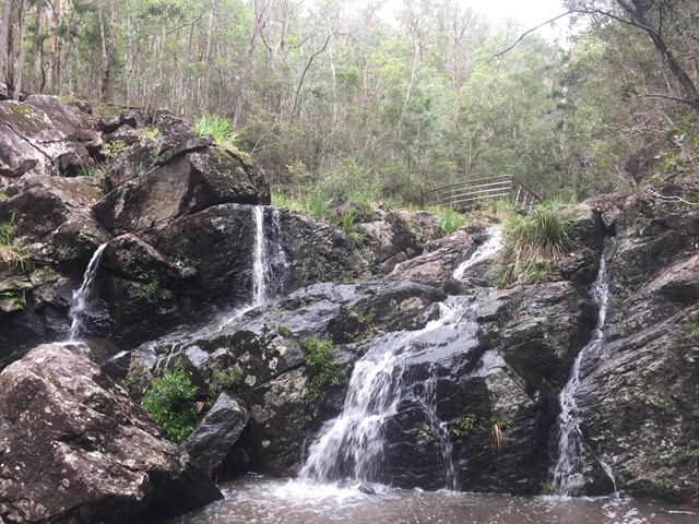
JC Slaughter Falls
The walk begins at the far end of the JC Slaughter Falls Picnic area and follows for about 600m way one. Only about 200m on the walk has a steep rocky incline but it isn't very difficult. The falls are non-existent unless there has been some rain.
 5.3
km
return
1
hr
5.3
km
return
1
hr
Litchfield Track
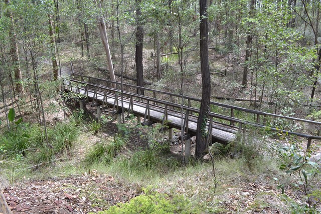
This track is 2.5km one way and is graded as moderate by Brisbane City Council and is well maintained but can have lose stones. The track winds through bushland parallel with the road and is easy to traverse. You will see a variety of Australian native plants and birds. A variety of people, at different stages of trail walking ability, use this track including trail runners.
 5.1
km
return
90
mins
5.1
km
return
90
mins
Maculata Track
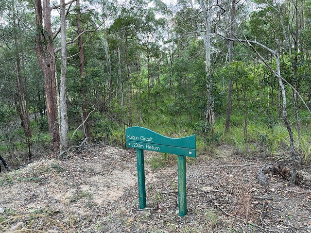
A pleasant walk to a part of Mt Cootha less travelled. It winds down to Bardon reservoir then around Kulgan Cct returning to the start by Bardon Track.
 2.6
km
one-way
40
mins
2.6
km
one-way
40
mins
Mahogany Trail
An alternate track to the Summit Trail at Mt Cootha Brisbane that is shared with bikes and horse riders