
Mount D Aguilar
D'Aguilar National Park


Menu
GPS Tracks
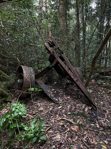
A walk to the titular peak of the D'Aguilar National Park, which can easily be combined with a side trip to the Piper Comanche wreck.
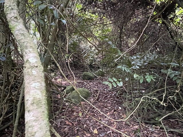
Navigation Required
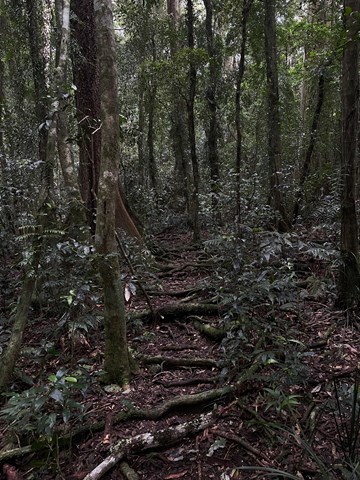
Rainforest
Eucalypt Forest
750m
Maximum Elevation

Getting there
Park at the Lepidozamia Road gate.
Maps
QTopo MOUNT D'AGUILAR 9443-244 (1:10,000)
Route/Trail notes
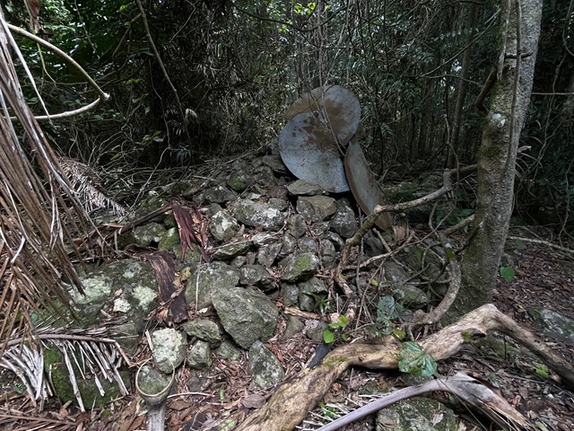
Turn off Lepidozamia Road 30m after the gate and follow the obvious trail with NPWS "Piper Comanche route" markers. The last marker on the ridge points walkers down to the wreck - instead continue on the ridge for a 15 minute return walk to the summit, which is marked with a large cairn made of rocks and pieces of an old trig station. Note that the summit walk is unmarked after the turn off to the wreck, but easy to follow for those with basic bush navigation experience.
Permits/Costs
No permit required/free
Other References
How can I find more info? Any guide books?
 Mount D'Aguilar and Piper Comanche wreck (GPX)
 6
6 2
2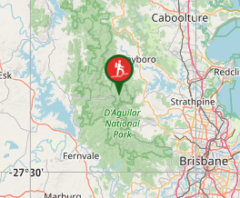
Comments