
Menu
Popular Walks
-
Mt Ngungun
(1145 ticks) -
Mount Coolum
(864 ticks) -
Mt Warning Summit Trail
(759 ticks) -
Mt Cordeaux
(659 ticks) -
Twin Falls Circuit
(630 ticks)
Popular Walks
-
Mt Ngungun
(1145 ticks) -
Mount Coolum
(864 ticks) -
Mt Warning Summit Trail
(759 ticks) -
Mt Cordeaux
(659 ticks) -
Twin Falls Circuit
(630 ticks)
Sub-Regions

 6
km
return
6
km
return
 2.5
hrs
2.5
hrs
Westside Track
On the opposite side of the Maiala Picnic Area there is a small clearing. Some BBQ tables and chairs are there as well as a fire ring. At the entrance to the walking track there's an information board. Full great info and history.
 300
m
return
20
mins
300
m
return
20
mins
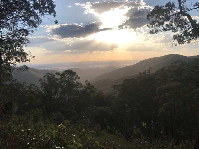
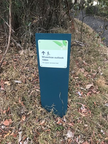
Wivenhoe Outlook
Visit the lookout for panoramic views of Northbrook Valley's green ridges and the reflective waters of Lake Wivenhoe.
Spy carpet pythons basking in the sun, or pink-tongued lizards carefully camouflaging themselves in the leaf litter. Listen for the unusual cat-like mewing cry of the catbird in the valley below.
 1.4
km
1
hr
1.4
km
1
hr
Aboriginal Artwork Track/ Hoop Pine Trail
The Aboriginal Artwork Trail was created in 1993, the international year of the World's Indigenous People. It has since been renamed the Hoop Pine Trail.
 200
m
return
30
mins
200
m
return
30
mins
Australian Rainforest Trail
Short walk with information about native Australian rainforest plants and Aboriginal uses.
 6
km
2
hrs
6
km
2
hrs
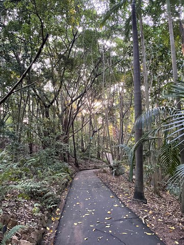
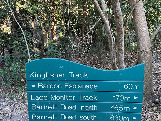
Bardon Bushland
Several short trails which link together through parts of Bardon/Ashgrove/The Gap. Entrances to the trails are the Bardon Esplanade (across the creek and bridge) north and south Barnett Rd and Trinder Rd The Gap. There is a goat track just off the Barnett Rd trails (before you reach the dead-end of the track at private property) which connects to the Quarry Trail - You need to walk along a steep ridge to get to it - and this will connect you to the rest of the Mt Coot-tha trails.
 6
km
return
90
mins
6
km
return
90
mins
Bellbird trail, Kokoda trail, Jacksonia trail circuit from Gap Creek Reserve
Bellbird Trail, Kokoda Trail up to top of hill and then back down Jacksonia Track- steep climb up to top of Mt C
7.3
km
return
3
hrs
Botanic Gardens to Mt Coot-tha
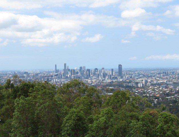
An opportunity to enjoy a walk through the Botanic Gardens and continue on up through the Reserve to the summit lookout atop Mt Coot-tha.
 3
km
return
1
hr
3
km
return
1
hr
Curlew and Ironbark Circuit
Wide tracks but plenty of medium difficulty up and down as you criss cross ridges and creeks. Downhill can be a bit slippery on the gravel.
 10
km
one-way
3
hrs
10
km
one-way
3
hrs
Gap Creek to Mt Coot-tha Botanic Gardens
This walk will use several tracks in the Mount Coot-tha area to take you from Gap Creek to Mt Coot-tha Botanic Gardens