
Mount Mee Section
D'Aguilar National Park


Menu

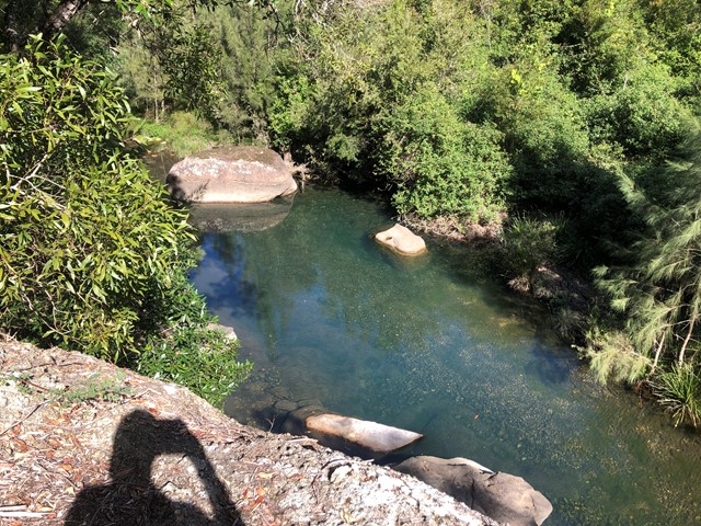
Excellent training walks for events like Gold Coast Kokoda. Some sections in particular the horse trails can be quite steep and long. There are flatter options if you stick to Range Road etc. Mobile service is scratchy. Can share GPS map of my walks.
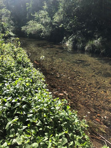
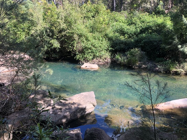
Rainforest
Eucalypt Forest
500m
Maximum Elevation
1790m
Total Climb

Getting there
Mount Brisbane Road Mt Pleasant near Chambers Road at the causeway
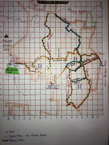
Maps
Which maps cover the area?
Route/Trail notes
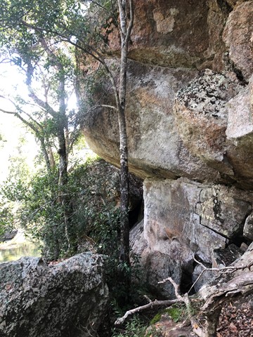
A combination of horse trails, old forestry roads and formed dirt roads. Horse trails can be very steep and long. Loose surface.
Permits/Costs
Do you need any permits? What's the cost?
Other References
How can I find more info? Any guide books?
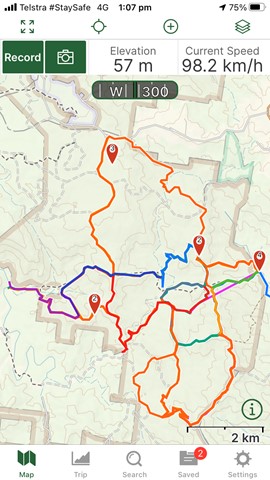
GPS Tracks
- No GPS available for this walk yet.
 35
35 8.5
8.5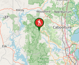
Comments